The best road cycling routes around Riodeva
5.0
(2)
218
riders
8
rides
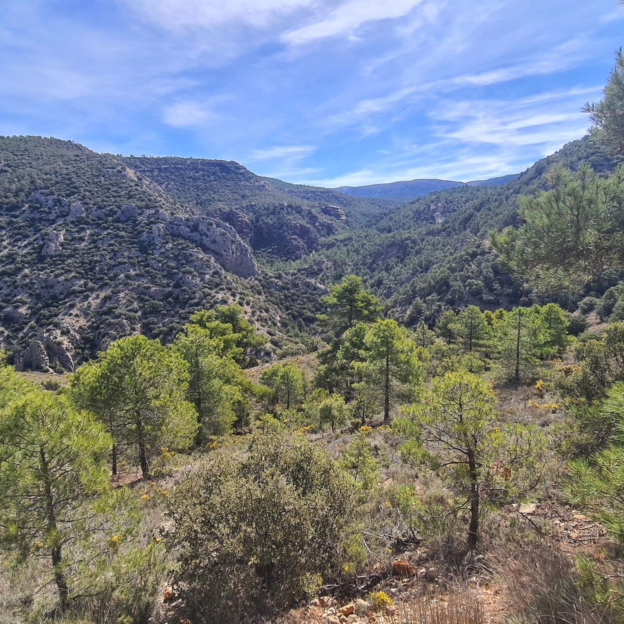
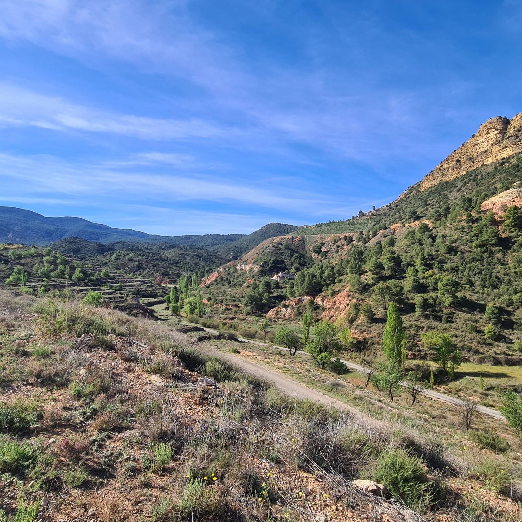
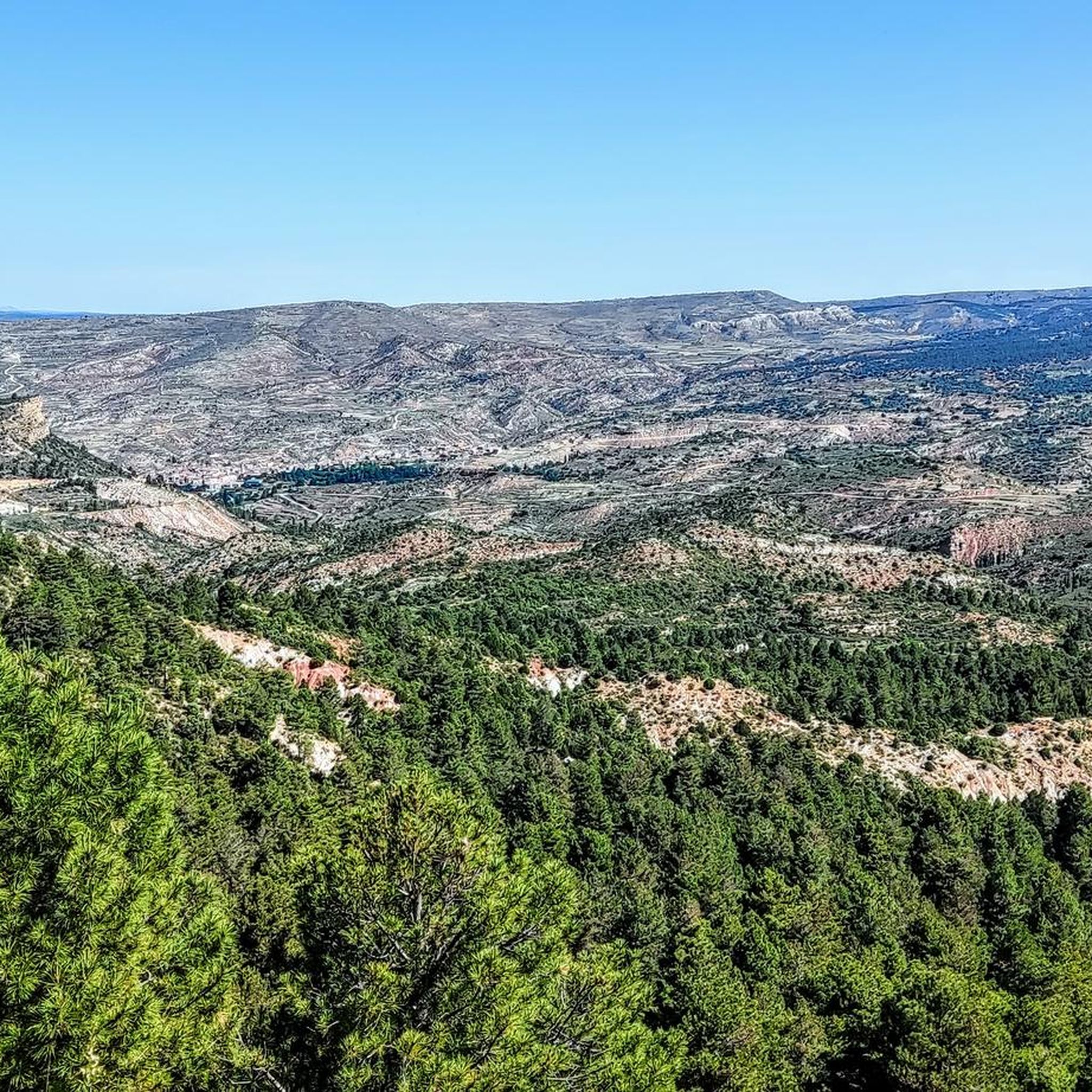
Road cycling routes Riodeva Teruel offer diverse landscapes, from mountainous stretches to river valleys, providing varied gradients and scenic backdrops. The region's topography ranges from 850 to 1736 meters above sea level, with an average elevation of 1155 meters, presenting challenging ascents and picturesque rides. Notable features include the Riodeva River and its geological formations, as well as the border with Puebla de San Miguel Natural Park. The area is well-suited for road cyclists seeking both demanding climbs and exploration…
Last updated: June 30, 2026
20
riders
109km
05:29
1,820m
1,820m
This difficult 67.6-mile road cycling route in Sierra de Javalón offers challenging climbs, quiet roads, and stunning forest scenery.
5
riders
60.0km
03:04
960m
960m
Hard road ride. Very good fitness required. Mostly well-paved surfaces and easy to ride.

Sign up for free
38
riders
67.8km
03:39
1,290m
1,290m
Hard road ride. Very good fitness required. Mostly well-paved surfaces and easy to ride.
43
riders
Moderate road ride. Good fitness required. Mostly well-paved surfaces and easy to ride.
5.0
(1)
13
riders
120km
06:20
2,280m
2,280m
Hard road ride. Very good fitness required. Mostly well-paved surfaces and easy to ride.
Get access to more routes and recommendations from other explorers.
Sign up for free
Already have an account?
Our route recommendations are based on thousands of hikes, rides, and runs completed by other people on komoot.
Start today with a free account
Your next adventure awaits.
Login or Signup
Tips from the Community

Wonderful for refilling water, cooling your feet, and taking a short break.
0
0
Easy to overlook, as it is not very large, it is located right next to the main street. A visit is worthwhile, as it was created by Pablo Monguió from 1910-1912 in the modernist style.
0
0

The Los Arcos aqueduct, located in Alpuente, is a 16th and 17th-century hydraulic structure that supplied water to the town and its orchards. With its thirteen pointed arches and a length of 265 meters, the arcade bridged the uneven level of the Reguero River, although the main arch was lost in a flood in 1880. Today, it is preserved as a Site of Cultural Interest and can be easily visited from the road to La Yesa. It is an interesting spot for combining history and hiking; good footwear is recommended to explore the surroundings.
2
0
Titaguas is a small town in the Los Serranos region, surrounded by mountains covered with pine, holm oak, and juniper forests, making it an ideal location for hiking. In the surrounding area, you can discover natural springs renowned for their healthy waters, as well as archaeological sites and cave paintings dating back over 9,000 years. The old town preserves historic houses and the Renaissance church of El Salvador, while local festivals keep traditions alive with the famous Mojiganga and wine-related celebrations. It's a great destination for combining nature, heritage, and popular culture, with trails accessible from the CV-35.
1
0

Nice lap and quiet road
1
0

Also known as the "11 spouts" fountain. Fresh water all year round.
0
0
Close to the Javalambre Peak and ski slopes.
1
0
Frequently Asked Questions
What kind of terrain can I expect on road cycling routes around Riodeva?
Road cycling routes in Riodeva offer a diverse landscape, ranging from mountainous stretches to picturesque river valleys. You'll encounter varied gradients, with elevations from 850 to 1736 meters above sea level, providing both challenging ascents and scenic rides. The region is characterized by the Riodeva River and its geological formations, as well as bordering the Puebla de San Miguel Natural Park.
Are there challenging climbs for experienced road cyclists in the Riodeva area?
Yes, Riodeva is known for challenging climbs. A significant draw for road cyclists seeking a challenge is the ascent to Javalambre via Riodeva. This climb is 39 km long, features a vertical ascent of 1440 meters, and boasts an average gradient of 3.7%, making it one of the more substantial climbs in the Aragon region. You can explore routes like Alpuente Village – Arcos de las Salinas loop from Observatorio Astrofísico de Javalambre for a demanding ride.
Are there any circular road cycling routes available?
Yes, there are several circular road cycling routes around Riodeva. For instance, the Rodeno Pinewoods Loop is a difficult 108.8 km circular route with significant elevation gain. Another option is the Valle Rio Turia y Javalambre - circular through the empty mountains, a 60.0 km difficult path offering expansive views.
What are some scenic natural attractions I can see while cycling near Riodeva?
The region offers stunning natural attractions. The area where the Riodeva River originates, known as Los Amanaderos, features a series of eight waterfalls and unique geological formations, including the 'Salto de la Yegua' and 'Cascada de las Ninfas'. You can find this natural wonder as a highlight: The Amanaderos of Riodeva. The Riodeva River itself also shapes much of the local landscape, providing picturesque routes along its course.
Are there any routes suitable for families or beginners?
While many routes in Riodeva are moderate to difficult, the 'Bicitela' project has inaugurated 23 cycling routes, including a 14.0 km route between Riodeva and Cascante, designed to be accessible to various users. These routes incorporate municipal paths and some paved sections, promoting sustainable tourism and offering potentially gentler options for families or beginners.
What is the best time of year for road cycling in Riodeva?
The diverse topography of Riodeva means cycling conditions can vary by season. Generally, spring and autumn offer pleasant temperatures for road cycling. Summer can be warm, especially in lower elevations, while winter might present colder conditions, particularly at higher altitudes like Javalambre. Checking local weather forecasts before your ride is always recommended.
What do other road cyclists enjoy most about road cycling in Riodeva?
The road cycling routes in Riodeva are highly rated by the komoot community, with an average score of 5.0 stars. Cyclists often praise the varied terrain, from challenging mountainous ascents to scenic river valleys, and the opportunity to explore the region's natural beauty and geological features. Over 200 road cyclists have used komoot to discover the area.
Are there any cultural or historical points of interest along the routes?
Yes, beyond natural beauty, you can find interesting points. Riodeva is home to 'Titania,' a branch of Dinópolis, which features a life-sized reproduction of the *Turiasaurus riodevensis*, Europe's largest dinosaur. Additionally, the region borders the Puebla de San Miguel Natural Park, which includes a Geological Route showcasing geological aspects exposed by kaolin mining. For more information on the Geological Route, you can consult Wikipedia.
Can I find long-distance road cycling routes in the area?
Yes, Riodeva offers options for long-distance road cycling. The Fuente del Cabrito – Villel and Turia River loop from Tramacastiel is a substantial 119.7 km trail that leads through the Turia River valley, typically taking around 6 hours 20 minutes to complete. This route provides an extensive exploration of the region's landscapes.
Are there any specific peaks or observatories accessible by road bike?
Yes, the region features notable peaks and an observatory. The Pico Javalambre is a prominent summit, and the Javalambre Astrophysical Observatory (Pico del Buitre) is a significant landmark often reached by road cyclists seeking challenging ascents and panoramic views. Routes like Alpuente Village – Arcos de las Salinas loop from Observatorio Astrofísico de Javalambre incorporate these high-altitude destinations.
How many road cycling routes are available around Riodeva?
There are 8 dedicated road cycling routes around Riodeva listed in this guide, ranging from moderate to difficult in intensity. These routes have been explored by over 200 road cyclists using komoot.
Most popular routes around Riodeva
Most popular attractions around Riodeva

Get inspired with the komoot mobile app


Explore more
Browse the best Road cycling routes in other regions.
