The best walks and hikes around Nueva Carteya
4.6
(292)
1,390
hikers
52
hikes
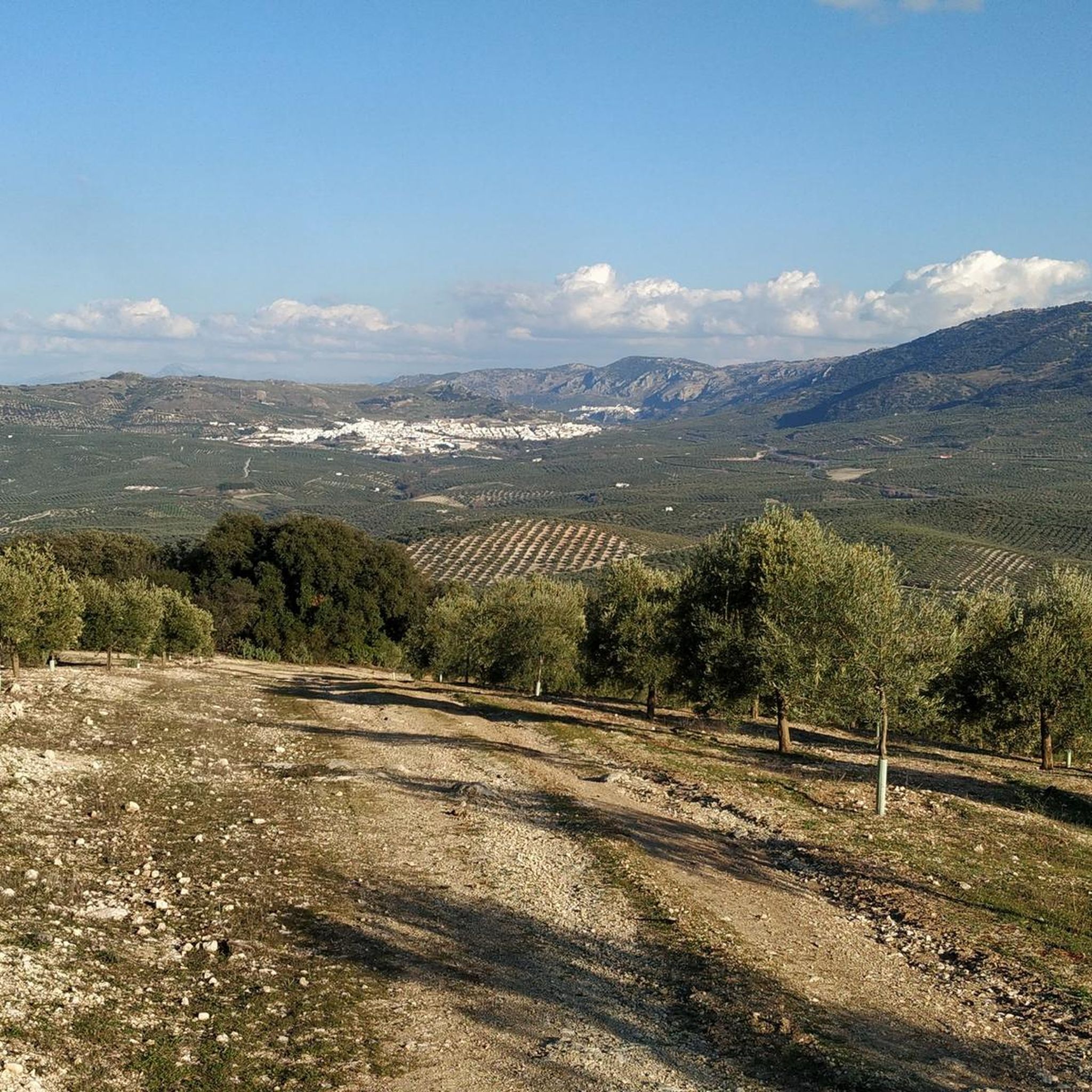
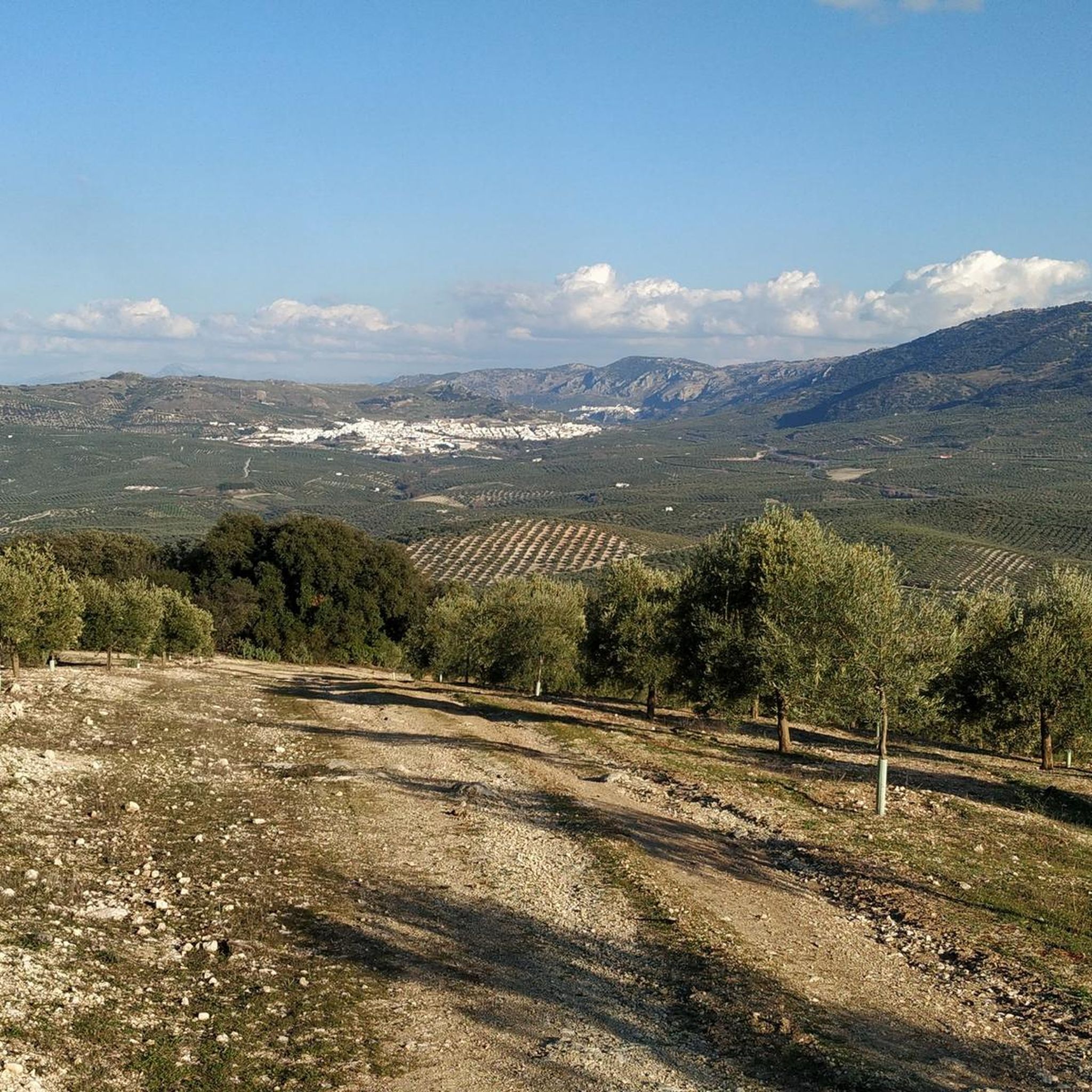
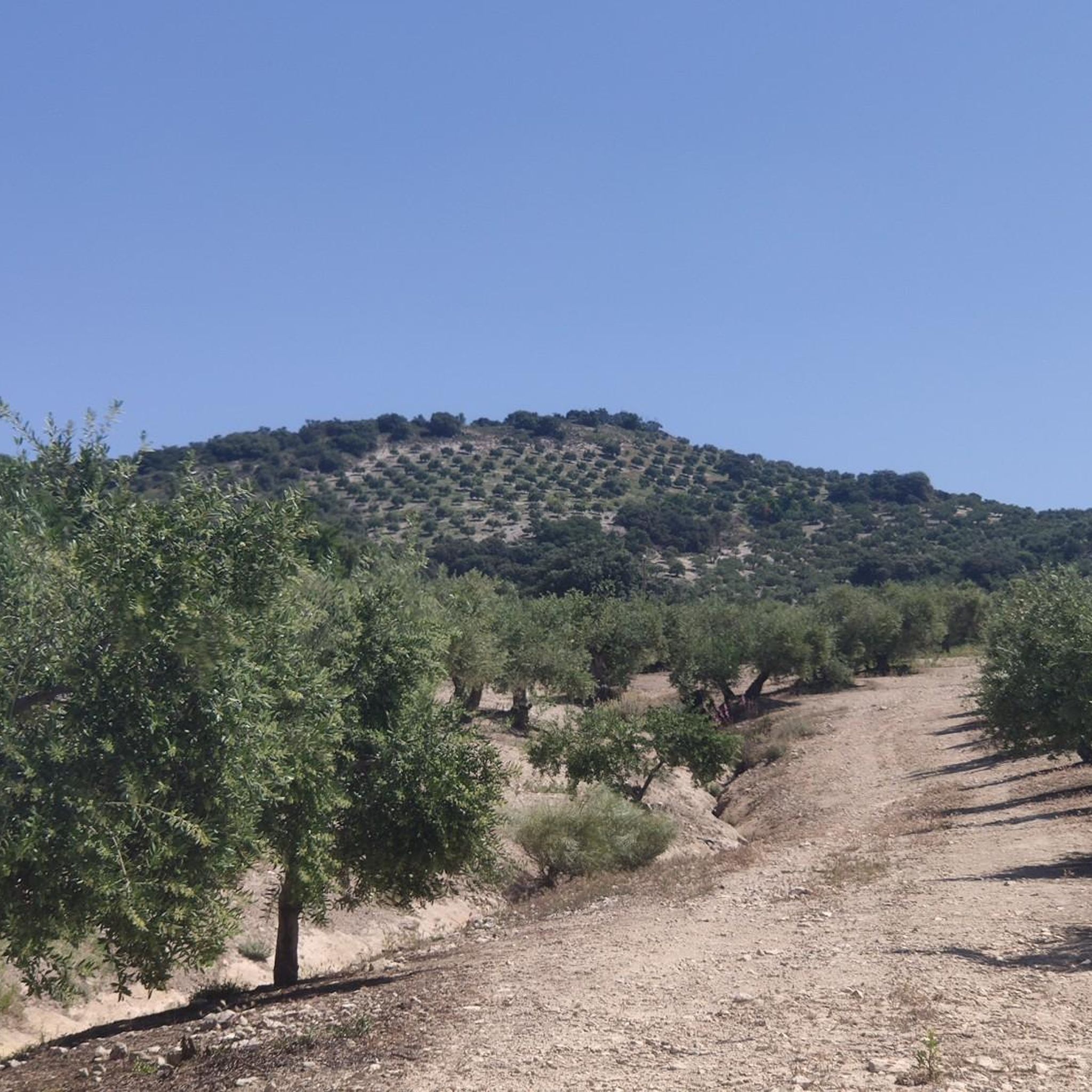
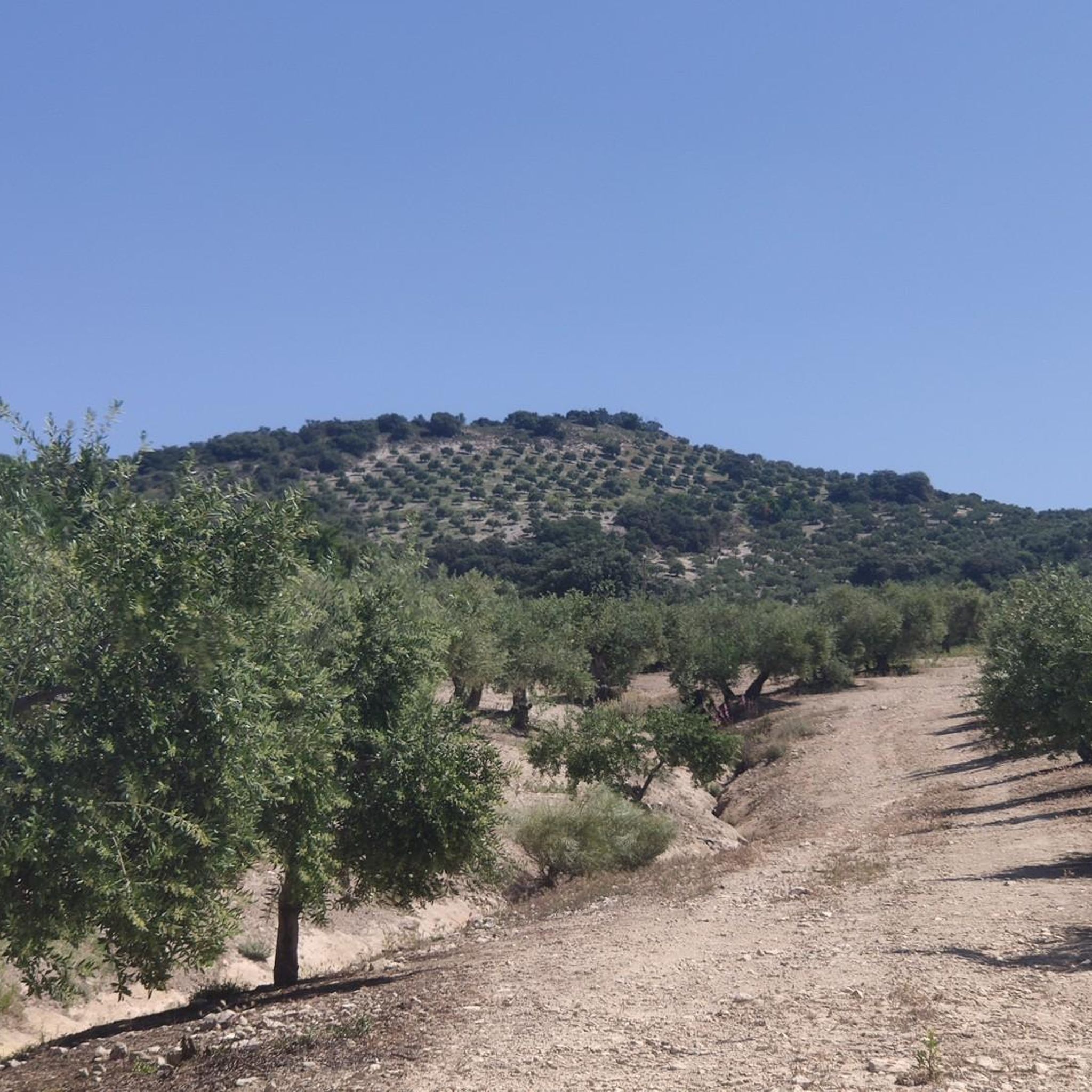
Hiking around Nueva Carteya features a landscape of pronounced hills and rolling terrain, offering diverse elevations and panoramic views. The region is characterized by extensive olive groves and the presence of the Guadajoz river, contributing to its natural setting. Its strategic location between the Campiña Alta and the Subbéticas provides access to varied environments, including areas near the Sierra Subbética Natural Park.
Best hiking trails around Nueva Carteya
- The most popular hiking route is Mozarabic Trail: Baena to Cueva del…
Last updated: August 14, 2026
18.4km
05:08
350m
350m
Hard hike. Very good fitness required. Easily-accessible paths. Suitable for all skill levels.
4.7
(34)
141
hikers
9.29km
02:49
310m
310m
Moderate hike. Good fitness required. Mostly accessible paths. Sure-footedness required.

Sign up for free
4.3
(10)
46
hikers
13.0km
03:55
410m
410m
Moderate hike. Good fitness required. Easily-accessible paths. Suitable for all skill levels.
4.8
(5)
17
hikers
11.8km
03:12
180m
180m
Moderate hike. Good fitness required. Easily-accessible paths. Suitable for all skill levels.
4.7
(7)
26
hikers
7.97km
02:12
120m
120m
Moderate hike. Good fitness required. Mostly accessible paths. Sure-footedness required.
Get access to more routes and recommendations from other explorers.
Sign up for free
Already have an account?
Our route recommendations are based on thousands of hikes, rides, and runs completed by other people on komoot.
Start today with a free account
Your next adventure awaits.
Login or Signup

Tips from the Community

Be careful when exploring! You've left the official path for this.
1
0

El Castillo de Zuheros is a historic fortress in the small municipality of Zuheros. The castle sits spectacularly on a rock and has become a landmark of the region. The castle's origins date back to the Moors in the 9th century. It was strategically built on a limestone cliff to control and defend the region. Its location made it almost impregnable.
0
0

The Zuheros Viaduct crosses the embedded bed of the Bailón River. It has a length of 104 meters resolved into two lateral sections of 31.5 meters and a central section of 41.0 meters. Its structure is metallic and is very similar to that of the Guadajoz River Viaduct. It seems that both projects were drawn up by the same engineers, Alessandri and Delaperrière.
9
0
El Castillo de Zuheros stands spectacularly on a rock and offers impressive views of the Sierra Subbética. The castle is a major landmark in the region. The castle's origins date back to the Moors in the 9th century. It was strategically built on a limestone cliff to control and defend the region. Its location made it almost impregnable. It was part of a network of castles designed to secure Moorish influence in Andalusia. In 1240, Zuheros was conquered by the troops of Ferdinand III of Castile. The castle passed into Christian ownership and was integrated into the kingdom's defensive structure. With the end of its military importance in the region, after the conquest of Granada in 1492, the castle began to decline in importance. Parts of the complex were destroyed by earthquakes and neglect over the centuries. In 1964, the towers were reconstructed as they can be seen in their current form. The ruins of the castle are now one of the main attractions of Zuheros and can be visited.
9
0
El Castillo de Zuheros is a historic fortress in the small municipality of Zuheros. The castle sits spectacularly on a rock and has become a landmark in the region. The castle's origins date back to the Moors in the 9th century. It was strategically built on a limestone cliff to control and defend the region. Its location made it almost impregnable. The viaduct is a historic remnant of the old railway line and offers an elevated platform with unobstructed views of the surrounding landscapes. The section near Zuheros is particularly spectacular as the viaduct crosses a gorge through which the Bailón River flows. From here, Zuheros Castle rises majestically above the village, embedded in a rock. The castle seems to be one with the landscape as it is integrated directly into the limestone. The view of Zuheros Castle from the viaduct is a perfect example of the unique combination of nature and history that characterizes the Córdoba region. It is a moment that makes every bike ride along the Vía Verde unforgettable.
9
0
The Zuheros viaduct crosses the embedded bed of the Bailón River. It has a length of 104 metres. Its structure is made of metal and is very similar to that of the Guadajoz River viaduct. A few metres away is the old Zuheros stop, a small building, very sober and functional. This building, smaller than the station, allowed the entry and exit of goods and passengers. A cobblestone in front of the façade served as a platform. From here you have a good view of the castle.
10
0
The remains date from two different periods. The massive, crenellated square tower is of Moorish origin, while the remains of the Renaissance palace date from the 16th century. At the same time, the Plaza de la Paz offers a natural viewpoint (622m), with shooting views** over the hills with their carpet of olive groves and Baena in the background.
11
0

Frequently Asked Questions
How many hiking trails are available in Nueva Carteya?
There are over 40 hiking trails around Nueva Carteya. These include 8 easy routes, 30 moderate paths, and 2 more challenging trails, offering options for various fitness levels.
What is the typical terrain like for hiking in Nueva Carteya?
Hiking in Nueva Carteya features a landscape of pronounced hills and rolling terrain, providing diverse elevations and panoramic views. You'll often traverse extensive olive groves, encounter areas near the Guadajoz river, and experience the transition between the Campiña Alta and the Subbéticas, with some routes offering glimpses towards the Sierra Subbética Natural Park.
Are there any circular hiking routes in Nueva Carteya?
Yes, Nueva Carteya offers several circular routes. The region is known for its 'Sendero Recintos Fortificados' (Fortified Enclosures Trail), which has both long and short circular paths starting from Pozo Romero peri-urban park. Additionally, routes like the View of Zuheros – View of Zuheros loop from Zuheros and the Fuenfría Spring – Fuente de la Mora loop from Zuheros are popular circular options.
What historical or archaeological sites can I see while hiking in Nueva Carteya?
Nueva Carteya's trails often lead through areas rich in history. The 'Sendero Recintos Fortificados' specifically allows you to explore ancient fortified enclosures, including Iberian, Roman, and Visigothic remains dating back to the 4th century B.C., such as Plaza de Armas and El Higuerón. These sites were strategically chosen for defense and offer historical insights alongside scenic views.
Are there any family-friendly hiking options in Nueva Carteya?
Yes, with 8 easy routes and 30 moderate paths, there are many options suitable for families. These trails often feature less strenuous climbs and can be a great way to explore the olive groves and natural surroundings together. Consider shorter circular routes for a pleasant family outing.
What natural features or viewpoints can I expect to see on the trails?
Hikers can enjoy expansive panoramic views from the region's pronounced hills. The landscape is dominated by vast olive groves, and some routes follow the banks of the Guadajoz river. You might also encounter natural springs and, depending on the route, distant views of the Sierra Subbética Natural Park.
What do other hikers enjoy most about hiking in Nueva Carteya?
The area is highly rated by the komoot community, with an average score of 4.6 stars from over 250 reviews. Hikers frequently praise the diverse landscapes, the blend of natural beauty with historical sites, and the well-maintained paths that offer both challenging and relaxed experiences.
Are there any caves or notable geological formations near the hiking trails?
Yes, the region around Nueva Carteya is known for its caves and geological features. You can explore highlights such as the Bat Cave, the impressive Limestone formations and caves in the Bailón Canyon, and the Cueva del Yeso. These offer unique natural attractions to discover.
Can I find any castles or historical buildings along the routes?
Absolutely. Several routes offer views of or pass by historical structures. For instance, the Zuheros Castle – View of Zuheros loop from Doña Mencía provides excellent views of Zuheros Castle. You can also find the Baena Castle – Historic Center of Baena loop from Baena, which explores another significant historical site.
What is the best time of year to go hiking in Nueva Carteya?
The best time for hiking in Nueva Carteya is typically during the spring (March to May) and autumn (September to November). During these seasons, the temperatures are milder and more pleasant for outdoor activities, and the landscape is often at its most vibrant. Summers can be very hot, making early morning or late afternoon hikes preferable.
Are there any long-distance or more challenging hikes available?
For those seeking a challenge, there are a few difficult routes. The Mozarabic Trail: Baena to Cueva del Yeso is a difficult 11.5-mile (18.4 km) trail that takes over 5 hours to complete, connecting historical points with expansive views. This route offers a more strenuous experience for experienced hikers.
Are there any facilities or points of interest like old stations along the trails?
Yes, some routes pass by interesting historical facilities. For example, the Doña Mencía Station is a notable point of interest that you might encounter on trails in the vicinity, often repurposed for tourism or as part of greenways.
Most popular routes around Nueva Carteya
Most popular attractions around Nueva Carteya

Get inspired with the komoot mobile app


Explore more
Browse the best Hikes in other regions.
