The best road cycling routes around Palma Del Río
4.5
(2)
367
riders
28
rides
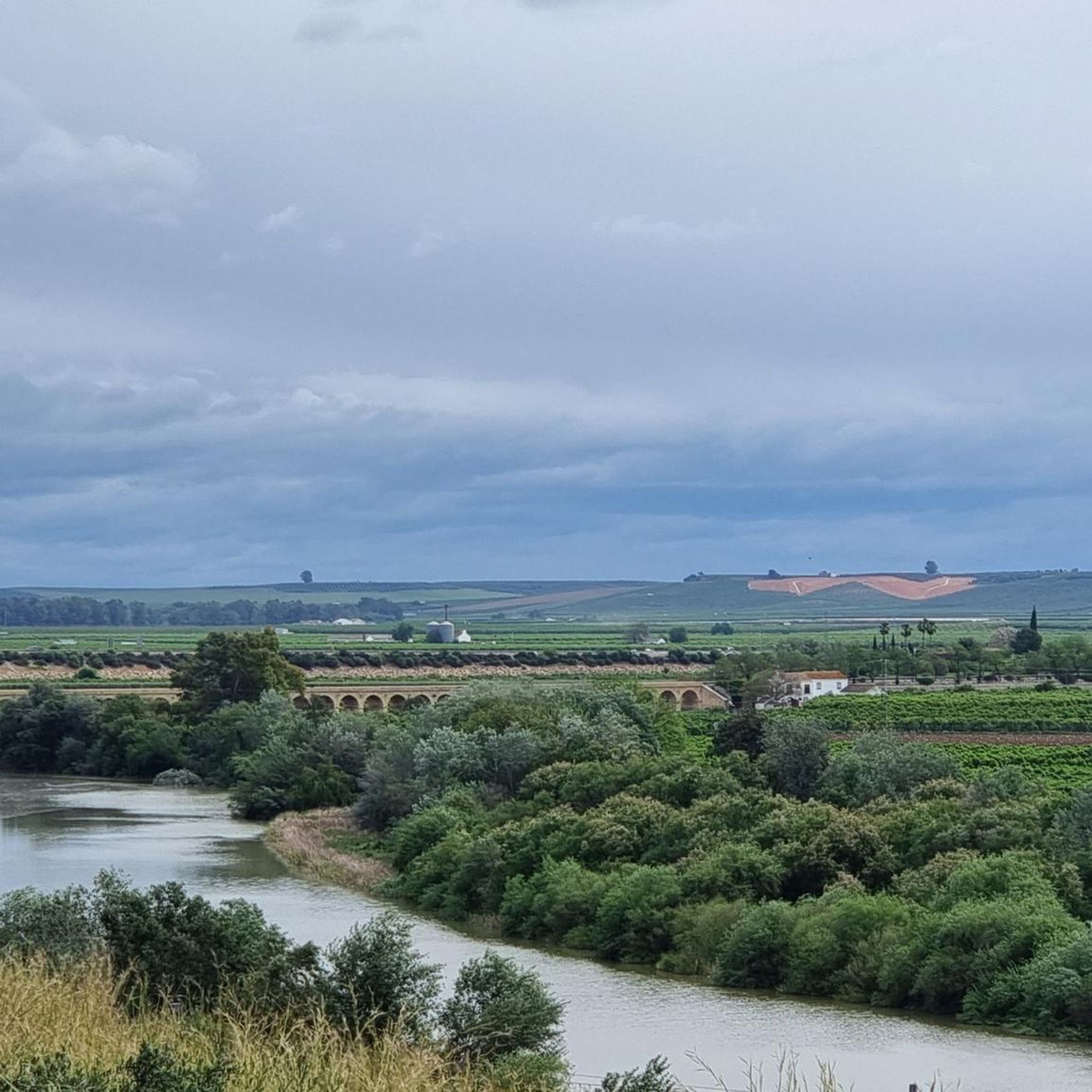
Road cycling routes around Palma Del Río are situated in the fertile Vega del Guadalquivir, at the confluence of the Guadalquivir and Genil rivers. This creates a landscape of lowlands characterized by extensive orange groves and riverside scenery. While much of the terrain is flat or gently rolling, some routes extend into areas with moderate to significant elevation gains, offering varied challenges for road cyclists. The region's natural features include river islands and the Embalse de Peñaflor reservoir.
Best road…
Last updated: June 30, 2026
18
riders
55.8km
02:21
350m
350m
Moderate road ride. Good fitness required. Some segments of this route may be unpaved and difficult to ride.
8
riders
51.3km
02:19
540m
540m
Moderate road ride. Good fitness required. Some segments of this route may be unpaved and difficult to ride.

Sign up for free
39
riders
114km
05:22
1,500m
1,500m
Hard road ride. Very good fitness required. Mostly well-paved surfaces and easy to ride.
4.0
(1)
41
riders
65.4km
02:55
640m
640m
Moderate road ride. Good fitness required. Mostly well-paved surfaces and easy to ride.
33
riders
116km
05:27
1,400m
1,400m
Hard road ride. Very good fitness required. Mostly well-paved surfaces and easy to ride.
Get access to more routes and recommendations from other explorers.
Sign up for free
Already have an account?
Our route recommendations are based on thousands of hikes, rides, and runs completed by other people on komoot.
Start today with a free account
Your next adventure awaits.
Login or Signup



Tips from the Community

Castelo dos Infantes [1 ] (officially called Santiago de Castelo dos Infantes) [2 ] [3 ] is a parish and a village [4 ] in the municipality of Sarria, in the province of Lugo, Galicia.
1
0

Non-cycling route in many sections. Fences with padlocks Not recommended for bikes Yes for hiking
0
1


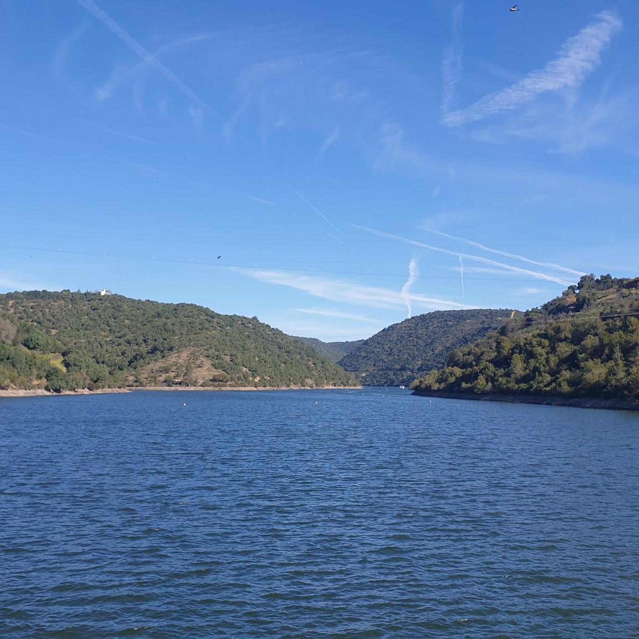
Built on the bed of the Retortillo river, this reservoir is located between the Sierra Norte de Sevilla natural park and the Sierra de Hornachuelos natural park, which in turn form part of the Sierra Morena massif.
1
0
It is a castle from the mid-14th century located in the heart of the town of La Puebla de los Infantes. Although it is in ruins, two towers are still preserved. It is freely accessible, so you can visit it whenever you want.
1
0

A small viewpoint where we can see the Bembézar River that feeds the reservoir of the same name. Hornachuelos is a town in the Sierra Morena, where we can get our water supply from one of the public fountains, before continuing on our route.
2
0
If you stop to rest in Las Navas, take a walk through the Plaza de España. There you will find a bar where you can recharge your batteries, besides there is a beautiful Fountain of the Lions and a fun monument by Manuel Carballido. Also look for the tile with olive trees, dedicated to the working rural woman.
2
0
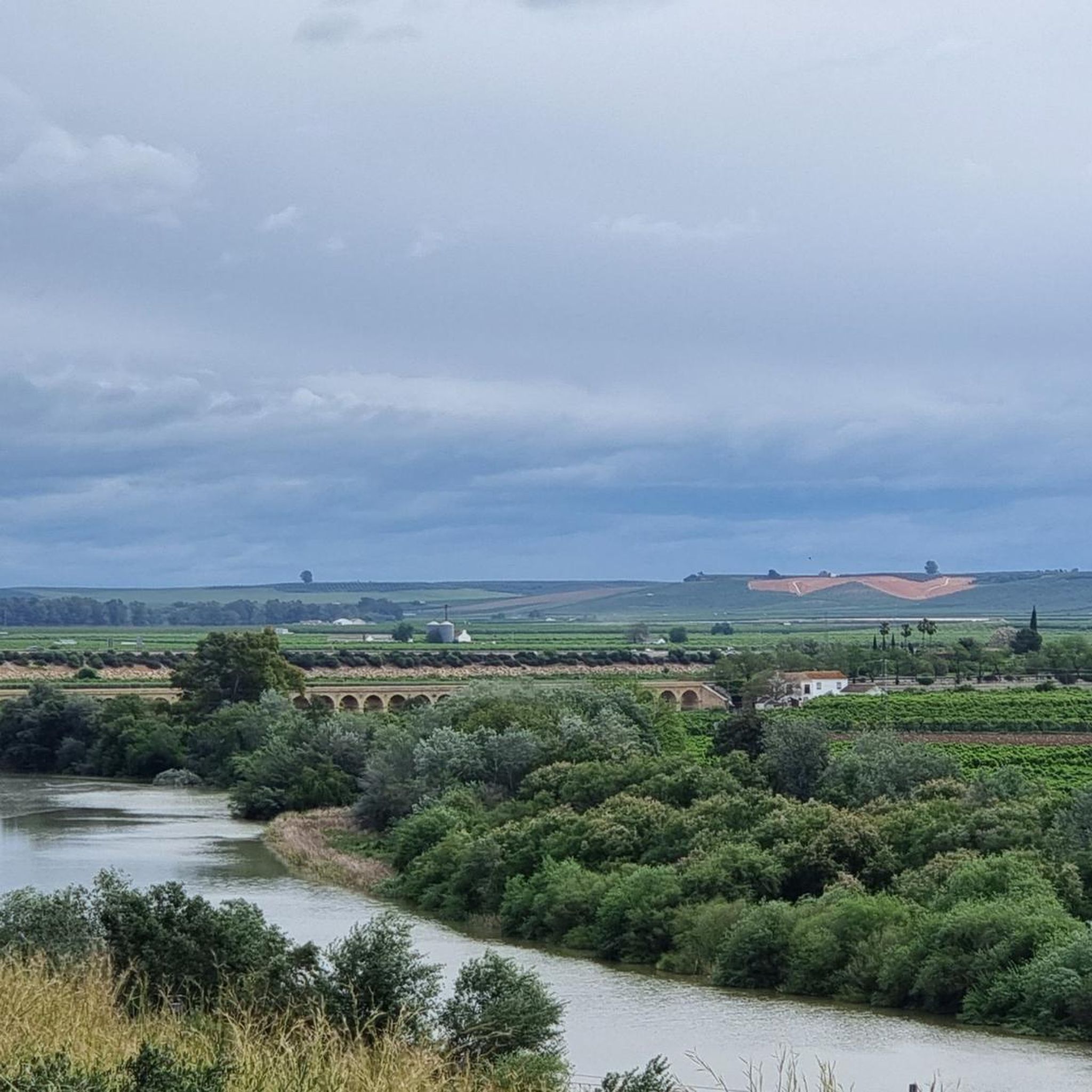
A town that is located between Córdoba and Seville, which is why the Sevillian influence is as important as the Cordovan one. Due to the confluence of two rivers - Guadalquivir and Genil - the lands are some of the most fertile and productive in Andalusia. Its orange is internationally famous.
2
0
Frequently Asked Questions
How many road cycling routes are available around Palma Del Río?
There are over 20 road cycling routes around Palma Del Río, catering to various skill levels. You'll find options ranging from easy, flat rides to more challenging journeys with significant elevation gain.
Are there easy road cycling routes suitable for beginners or families?
Yes, Palma Del Río offers several easier routes. The region's fertile lowlands provide many flat or gently rolling paths perfect for beginners. For example, the "Hospital de San Sebastian – Plaza Mayor de Andalucía loop" mentioned in regional research is an easier 26.4 km option. While specific family-friendly routes are not detailed in the provided data, the general terrain of the lowlands is conducive to less strenuous rides.
What kind of landscapes can I expect to see while road cycling in Palma Del Río?
Road cycling in Palma Del Río offers diverse landscapes. You'll primarily traverse the fertile Vega del Guadalquivir, characterized by extensive orange groves, especially prominent in the Santa Lucía valley. Routes also follow the confluence of the Guadalquivir and Genil rivers, providing picturesque riverside scenery and views of river islands. Some routes extend to areas with more varied terrain and elevation.
Are there any challenging road cycling routes for experienced riders?
Absolutely. For experienced riders seeking a challenge, Palma Del Río offers routes with significant ascents. A notable difficult route is the Peñaflor – Retortillo Reservoir loop from Palma del Río, which covers 113.7 km and includes substantial elevation gain. Another challenging option is the "Plaza Mayor de Andalucía – Viewpoint of Las Palomas loop," which is 60.8 km with an 800m elevation gain.
What are some scenic viewpoints or natural attractions along the routes?
Many routes offer scenic views of the region's natural beauty. You can expect vistas of the vast orange groves, particularly in the Santa Lucía valley. The confluence of the Guadalquivir and Genil rivers provides unique riverside scenery. The Viewpoint of Las Palomas offers impressive views, and the Embalse de Peñaflor (Peñaflor Reservoir) is another significant natural feature you might encounter. For more natural sights, you can explore Palma del Río's nature.
Are there any cultural or historical sites I can visit near the cycling routes?
Yes, Palma Del Río is rich in cultural and historical points of interest. You might consider visiting the Palacio Portocarrero, an Alcázar Palace with Mudejar gardens, or the historic Hotel Monasterio de San Francisco. The town's historic center with its well-preserved walled enclosure is also worth exploring. The Hermitage of Nuestra Señora de Belén offers impressive views of the Vega and its orange groves.
What is the best time of year for road cycling in Palma Del Río?
The spring and summer months are particularly appealing for road cycling in Palma Del Río. During this time, the orange groves are in bloom, filling the air with fragrance and creating a stunning 'sea of silver' landscape. The weather is generally favorable for outdoor activities, though summer can be quite warm, so early morning or late afternoon rides might be preferable.
Are there circular road cycling routes available?
Yes, many road cycling routes in Palma Del Río are circular, offering convenient starting and ending points. Popular circular options include the Hornachuelos from Palma del Rio — circular by Posadas, a moderate 55.8 km ride, and From Palma del Rio to La Puebla de los Infantes – circular via Peñaflor, a moderate 51.3 km path.
What do other road cyclists say about the routes in Palma Del Río?
The road cycling routes in Palma Del Río are highly regarded by the komoot community, with an average rating of 4.0 stars. Over 300 road cyclists have explored the varied terrain, often praising the picturesque orange groves, the unique riverside scenery, and the options for different ability levels.
Can I spot any wildlife while cycling in the region?
Given Palma Del Río's location at the confluence of the Guadalquivir and Genil rivers, the area is known for its diverse birdlife. Cycling along the riverbanks or through the more natural areas may offer opportunities for bird spotting and observing other local fauna.
Are there longer road cycling routes for endurance training?
For those looking for longer rides and endurance training, Palma Del Río offers routes that extend through the wider region. The Peñaflor – Retortillo Reservoir loop from Palma del Río is a significant 113.7 km trail, typically completed in over 5 hours, and includes substantial elevation gain, making it ideal for longer training sessions.
Most popular attractions around Palma Del Río

Get inspired with the komoot mobile app


Explore more
Browse the best Road cycling routes in other regions.
