The best MTB trails around Bruchweiler
4.6
(958)
2,452
riders
340
rides
Mountain biking around Bruchweiler offers diverse landscapes within the Palatinate Forest, characterized by extensive woodlands and distinctive red sandstone rock formations. The region features rolling hills and serene river valleys, providing varied terrain for mountain bike trails. Riders can explore a network of paths that include rocky passages and flowing singletracks. This area is known for its natural features and varied elevation changes.
Best mountain bike trails around Bruchweiler
- The most popular mountain bike trail is View of the Hoxeler Viaduct – Hoxeler Viaduct loop from Bruchweiler, a 35.7 miles (57.5 km) trail that takes 5 hours 11 minutes to complete. This difficult route offers views of the Hoxeler Viaduct.
- Another top favourite among local mountain bikers is Windklang Sculpture, Erbeskopf – Erbeskopf Viewpoint loop from Langweiler, a difficult 14.2 miles (22.8 km) path. This route leads to the Windklang Sculpture and Erbeskopf Viewpoint.
- Local mountain bikers also love the View of Steinbach Reservoir – Shelter loop from Langweiler, a 7.7 miles (12.4 km) trail leading through areas near the Steinbach Reservoir, often completed in about 1 hour 11 minutes.
- Mountain biking around Bruchweiler is defined by vast forested areas, distinctive red sandstone rock formations, and rolling hills. The network offers options for easy, moderate, and difficult ability levels.
- The routes in Bruchweiler are highly rated by the komoot community with an average score of 4.6 stars from over 800 reviews. More than 2,400 mountain bikers have used komoot to explore Bruchweiler's varied terrain.
Last updated: September 30, 2026
5.0
(3)
9
riders
57.5km
05:09
910m
910m
Hard mountain bike ride. Very good fitness required. Advanced riding skills necessary.
4.0
(4)
14
riders
28.6km
02:29
500m
500m
Moderate mountain bike ride. Good fitness required. Advanced riding skills necessary.

3.5
(6)
13
riders
29.3km
02:12
490m
490m
Moderate mountain bike ride. Good fitness required. Advanced riding skills necessary.
4.0
(2)
10
riders
12.4km
01:11
220m
230m
Moderate mountain bike ride. Great for any fitness level. Advanced riding skills necessary.
3.7
(6)
10
riders
Moderate mountain bike ride. Good fitness required. Advanced riding skills necessary.
Get access to more routes and recommendations from other explorers.
Already have an account?
Our route recommendations are based on thousands of hikes, rides, and runs completed by other people on komoot.
Start today with a free account
Your next adventure awaits.
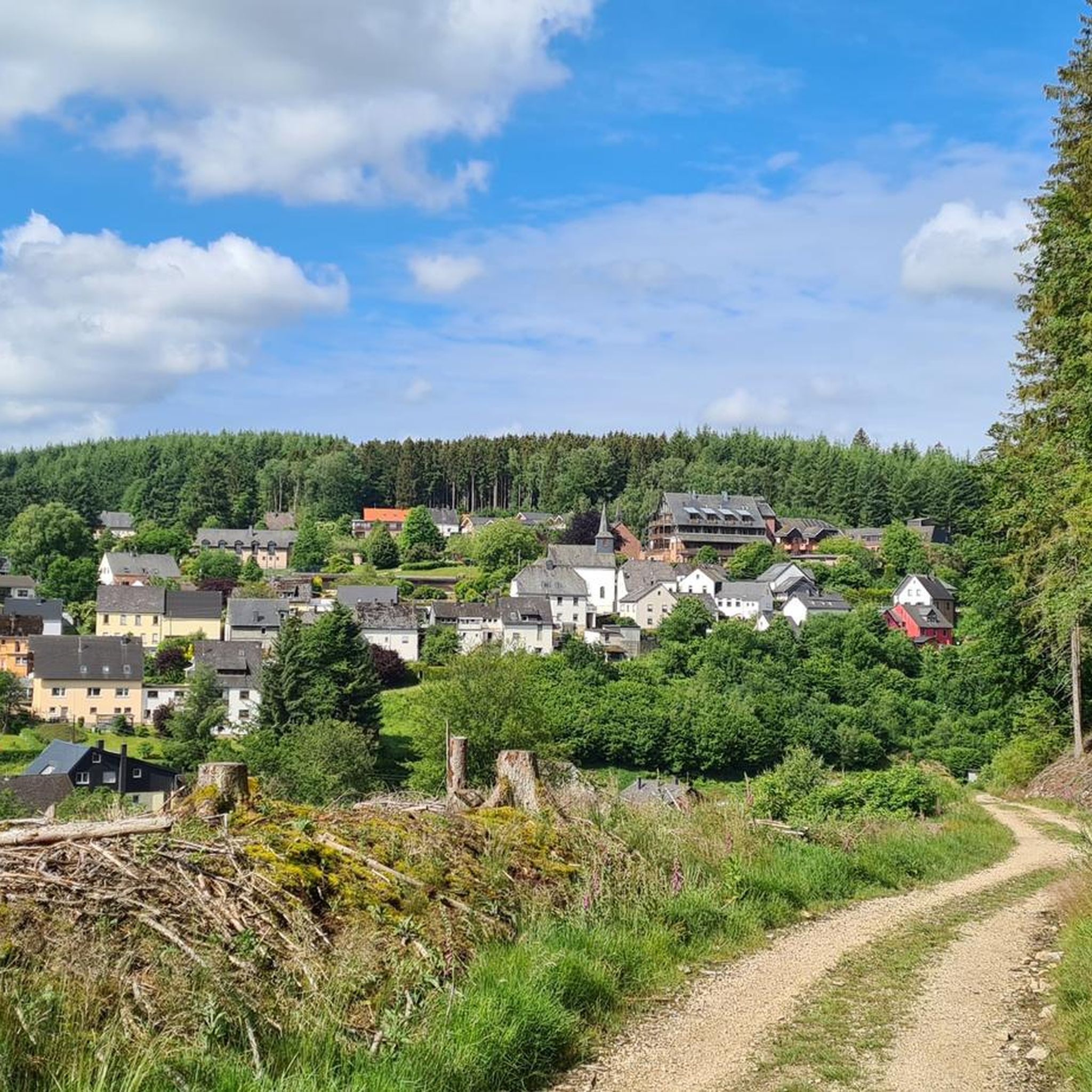
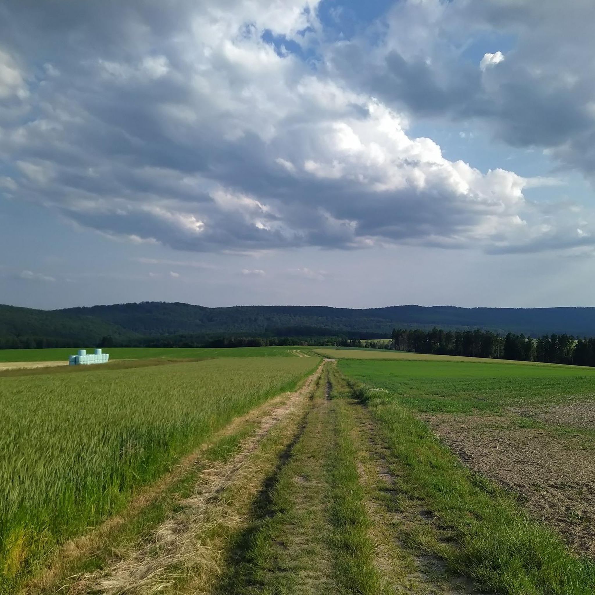
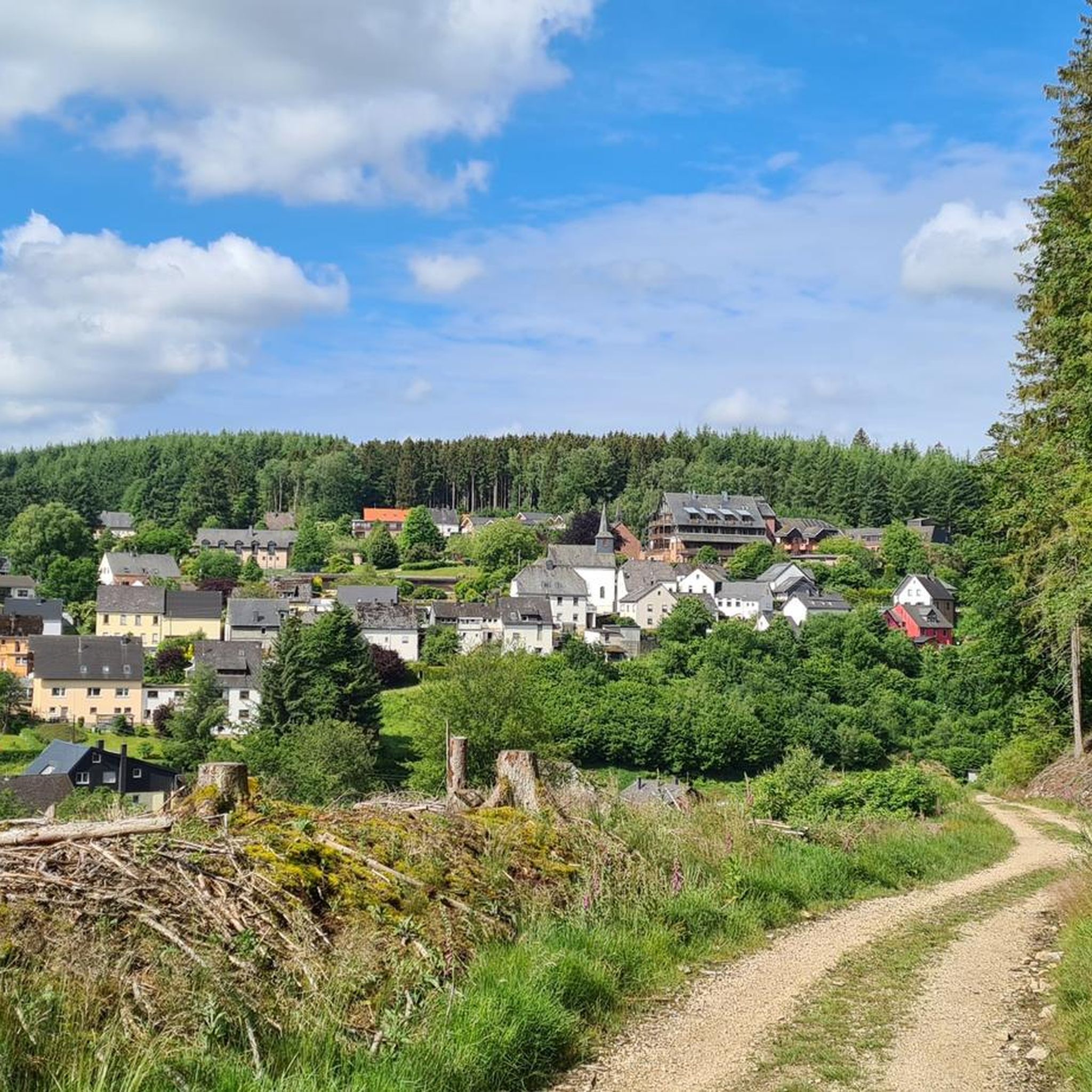
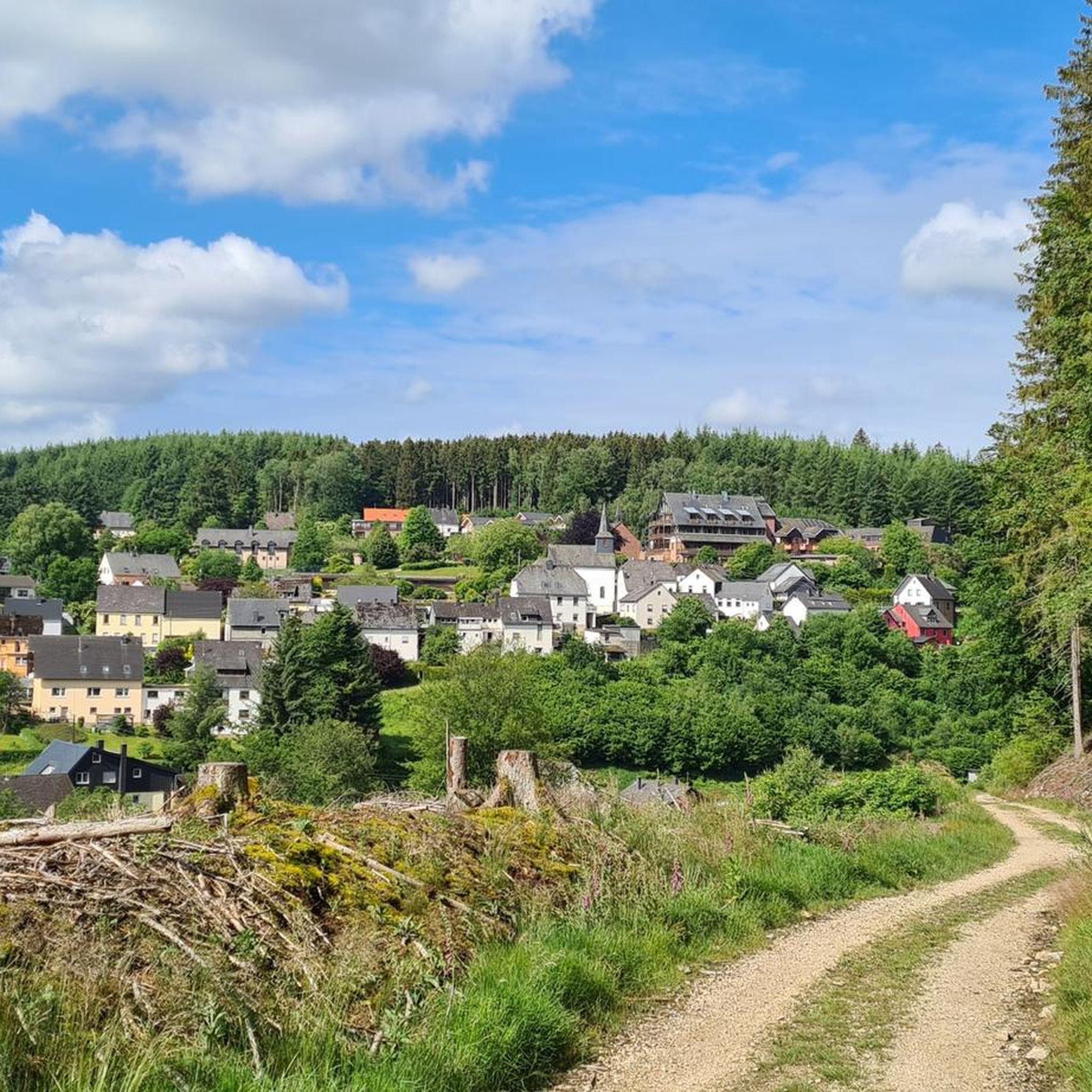
Tips from the Community

Great, really super use of the slope
0
0
Beautiful building with a large parking lot and café
0
0
Great that something like this was built :-)
0
0
Nice platform with a great view
0
0
Perfect shelter slightly off the main path
0
0
Cool, you can see the reservoir really nicely there
0
0

Hikers should look behind them, as riders sometimes approach quickly.
0
0
Frequently Asked Questions
How many mountain bike trails are available around Bruchweiler?
Bruchweiler offers an extensive network for mountain bikers, with over 370 trails available. These routes cater to various skill levels, from easy paths to challenging singletracks, winding through the Palatinate Forest and its distinctive red sandstone rock formations.
Are there mountain bike trails suitable for beginners in Bruchweiler?
Yes, Bruchweiler has a good selection of trails for beginners. Out of the over 370 routes, 51 are classified as easy, providing a gentle introduction to mountain biking in the region's scenic landscapes. These trails often feature less elevation gain and smoother terrain.
What kind of terrain can I expect on mountain bike trails in Bruchweiler?
The terrain around Bruchweiler is diverse, characterized by vast forested areas, rolling hills, and serene river valleys. You'll encounter a mix of rocky passages, flowing singletracks, and dense forest paths. The region is particularly known for its distinctive red sandstone rock formations, which add unique geological features to many routes.
Are there any circular mountain bike routes in Bruchweiler?
Many of the mountain bike routes around Bruchweiler are designed as loops, allowing you to start and finish at the same point. For example, the View of the Hoxeler Viaduct – Hoxeler Viaduct loop from Bruchweiler is a popular difficult circular route, and the View of Steinbach Reservoir – Shelter loop from Langweiler offers a moderate circular option.
What are some notable natural features or landmarks I can see while mountain biking in Bruchweiler?
The region is rich in natural beauty. You can encounter striking red sandstone rock formations, expansive forests, and picturesque valleys. Specific highlights include the Erbeskopf, the highest point in Rhineland-Palatinate, and the Windklang Observation Tower. Some routes also pass by the Slate Mine Tunnel (Bat Cave) or the Steinkaulenberg Gemstone Mine.
What do other mountain bikers enjoy most about the trails in Bruchweiler?
The mountain bike trails around Bruchweiler are highly rated by the komoot community, with an average score of 4.6 stars from over 800 reviews. Riders frequently praise the diverse landscapes, the well-maintained paths, and the stunning panoramic views offered by many routes. The mix of challenging and easier trails also contributes to its popularity.
Are there any challenging mountain bike trails for experienced riders?
Absolutely. For experienced riders seeking a challenge, Bruchweiler offers 43 difficult trails. An example is the Windklang Sculpture, Erbeskopf – Erbeskopf Viewpoint loop from Langweiler, which features significant elevation changes and technical sections, leading to the Windklang Sculpture and Erbeskopf Viewpoint.
When is the best time of year to go mountain biking in Bruchweiler?
The region's extensive forests and varied terrain make it enjoyable for mountain biking across multiple seasons. Spring and autumn offer pleasant temperatures and vibrant scenery, with autumn showcasing particularly beautiful foliage. Summer is also popular, though some trails might be more exposed to sun. Winter riding is possible, but trail conditions can vary, especially after rain or snow.
Are there any places to stop for refreshments or food along the mountain bike routes?
Yes, the Palatinate Forest region is known for its inviting huts (Hütten) where riders can refuel with local cuisine. While specific cafes or pubs on every route are not guaranteed, many trails lead to or pass by such establishments, especially in and around the towns and villages. It's always a good idea to check the route details for specific refreshment stops.
What is the typical length and duration of mountain bike trails in Bruchweiler?
Trail lengths and durations vary significantly. You can find shorter routes, like the View of Steinbach Reservoir – Shelter loop from Langweiler, which is 7.7 miles (12.4 km) and takes about 1 hour 11 minutes. Longer, more challenging routes, such as the View of the Hoxeler Viaduct – Hoxeler Viaduct loop from Bruchweiler, can be up to 35.7 miles (57.5 km) and take over 5 hours to complete, offering a full day's adventure.
Are there any trails that offer panoramic views?
Many trails in Bruchweiler and the surrounding Palatinate Forest region are renowned for their spectacular panoramic views. The topography of rolling hills and prominent rock formations often provides elevated vantage points. Routes leading to viewpoints like the Erbeskopf or passing by the Swallows' Rock near Dahn are particularly rewarding for their scenic vistas.
Most popular routes around Bruchweiler
Most popular attractions around Bruchweiler

Get inspired with the komoot mobile app


Explore more
Browse the best MTB trails in other regions.
