The best walks and hikes around National Park Ponga
4.7
(387)
3,348
hikers
10
hikes
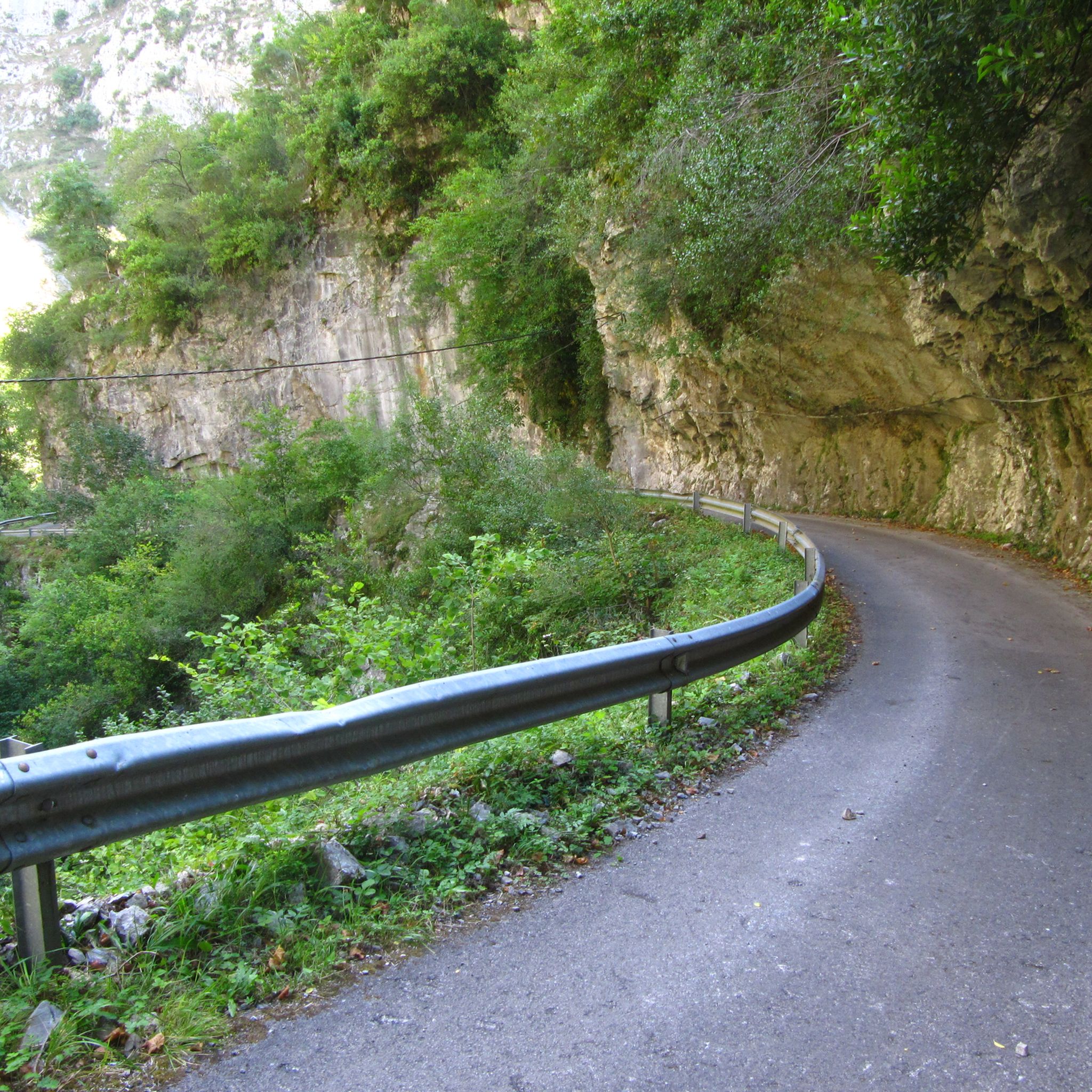
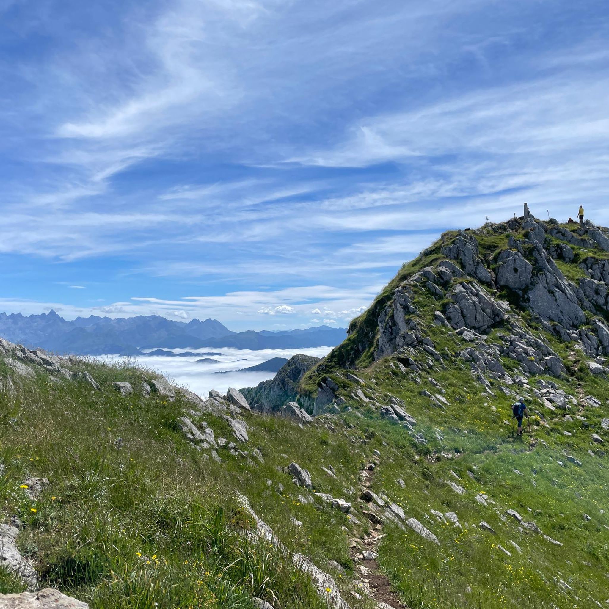
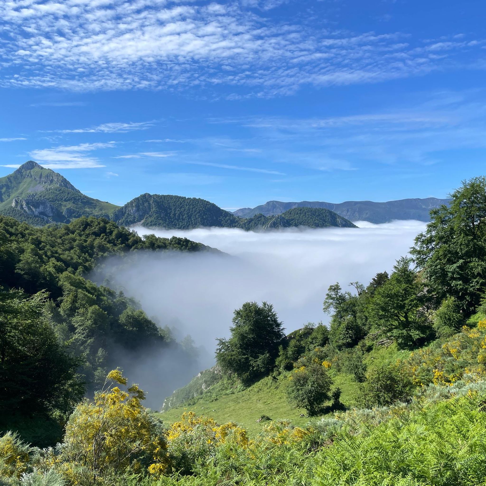
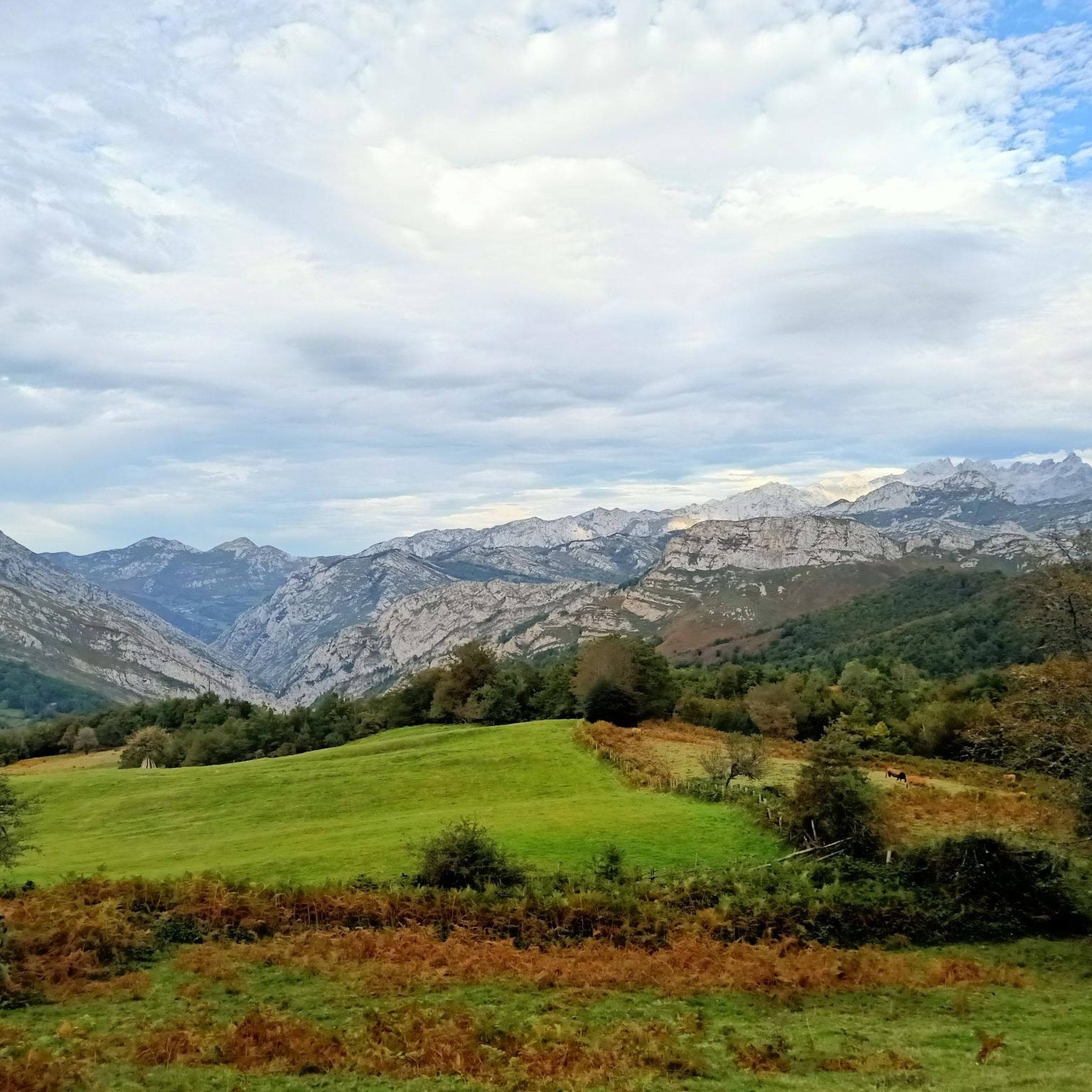
Hiking trails around National Park Ponga traverse the central-eastern Cantabrian Mountains, characterized by abrupt and steep relief. The landscape features deep river valleys, including the Ponga and Beyos Gorges, carved by rivers like the Sella. Dense, mature beech forests, such as the Peloño Partial Nature Reserve, cover significant portions of the park, interspersed with meadows and high-altitude plant communities. Peaks like Peña Ten (2,142 m) and Tiatordos (1,951 m) define the mountainous terrain.
Best hiking trails around National Park Ponga
- The most popular hiking route is View of Abiegos – Abiegos Church loop from San Juan de Beleño / San Xuan, a 6.8 miles (10.9 km) trail that takes 3 hours 26 minutes to complete. This moderate route offers views of traditional villages and the surrounding mountain landscape.
- Another top favourite among local hikers is Ameu Stream Stone Bridge – Abiegos Church loop from Ponga, a moderate 4.9 miles (7.8 km) path. This trail winds through forested areas and past historical stone structures.
- Local hikers also love the Pico Pierzu loop from San Juan de Beleño / San Xuan, a 6.0 miles (9.7 km) trail leading through beech forests and offering access to Pico Pierzu, often completed in about 3 hours 59 minutes.
- Hiking around National Park Ponga is defined by steep mountain terrain, deep river gorges, and extensive beech forests. The network offers options for different ability levels, from moderate forest paths to more difficult mountain ascents.
- The routes in National Park Ponga are highly rated by the komoot community with an average score of 4.6 stars from over 350 reviews. More than 3000 hikers have used komoot to explore National Park Ponga's varied terrain.
Last updated: May 20, 2026
4.3
(17)
87
hikers
10.9km
03:26
430m
420m
Moderate hike. Good fitness required. Easily-accessible paths. Suitable for all skill levels.
4.2
(13)
76
hikers
7.85km
02:30
310m
300m
Moderate hike. Good fitness required. Easily-accessible paths. Suitable for all skill levels.

Sign up for free
4.8
(5)
93
hikers
9.73km
03:59
550m
550m
Moderate hike. Good fitness required. Mostly accessible paths. Sure-footedness required.
4.7
(10)
72
hikers
17.5km
05:08
410m
410m
Hard hike. Very good fitness required. Mostly accessible paths. Sure-footedness required.
5.0
(2)
13
hikers
18.9km
06:16
740m
740m
Hard hike. Very good fitness required. Mostly accessible paths. Sure-footedness required.
Get access to more routes and recommendations from other explorers.
Sign up for free
Already have an account?
Our route recommendations are based on thousands of hikes, rides, and runs completed by other people on komoot.
Start today with a free account
Your next adventure awaits.
Login or Signup
Tips from the Community

Rest and lunch stop in Abiegos. The open bar accepting cards was the perfect surprise for enjoying an ice-cold beer midway before a siesta in the church courtyard.
0
0


The town is as beautiful as Tiatordos presiding over it
0
0

Beautiful setting with both greenery and nature.
2
0

Great restaurant/bar in Abiegos with fresh, local produce. A very welcoming owner! Great time!
1
0


Place with views of all the peaks of Europe, the track is indicative and I do not recommend following it
1
0
Frequently Asked Questions
How many hiking trails are available in National Park Ponga?
National Park Ponga offers a diverse network of over 10 hiking trails, catering to various skill levels. These include paths through dense beech forests, along river gorges, and up to panoramic mountain viewpoints.
Are there any easy hiking trails suitable for beginners in National Park Ponga?
While National Park Ponga is known for its steep terrain, there are options for less experienced hikers. For example, the park offers 1 easy route, and 4 moderate routes that are generally manageable for those with a basic fitness level. These often wind through forested areas or offer gentler ascents.
What kind of natural features and landmarks can I expect to see while hiking?
Hikers in National Park Ponga can discover a wealth of natural beauty and cultural landmarks. You might encounter the impressive Los Beyos Gorge, explore traditional villages like Casielles, or visit significant natural monuments such as the Roblón de los Bustiellos. The park is also home to the Peloño Partial Nature Reserve, one of the largest and best-preserved continuous beech forests in Asturias.
Are there any circular hiking routes in National Park Ponga?
Yes, National Park Ponga features several circular routes. A popular option is the View of Abiegos – Abiegos Church loop from San Juan de Beleño / San Xuan, which offers views of traditional villages. Another is the Pico Pierzu loop from San Juan de Beleño / San Xuan, leading through beech forests and providing access to Pico Pierzu.
Is National Park Ponga suitable for family hikes?
National Park Ponga can be suitable for families, especially on its easier and moderate trails. Many routes offer a chance to experience the rich biodiversity and stunning landscapes without overly strenuous climbs. Consider routes that explore the lower valleys or traditional villages for a more relaxed family outing.
Are dogs allowed on the hiking trails in National Park Ponga?
Generally, dogs are permitted on trails in National Park Ponga, but it's crucial to keep them on a leash, especially due to the presence of wildlife and grazing livestock. Always respect local regulations and ensure your dog does not disturb the natural environment or other hikers.
What is the best time of year to go hiking in National Park Ponga?
The best time to hike in National Park Ponga is typically from spring to autumn (May to October). During these months, the weather is generally milder, and the trails are more accessible. Spring brings lush greenery and wildflowers, while autumn offers spectacular fall foliage, particularly in the beech forests. Winter hiking is possible but requires appropriate gear and experience due to snow and colder conditions.
Where can I find parking for hikes in National Park Ponga?
Parking is generally available in or near the main villages and trailheads within National Park Ponga, such as San Juan de Beleño or Ponga. Specific parking areas are often indicated at the start of popular routes. It's advisable to arrive early during peak season to secure a spot.
Do I need any special permits to hike in National Park Ponga?
For general hiking on established trails within National Park Ponga, special permits are typically not required. However, if you plan to engage in specific activities like hunting, fishing, or accessing highly restricted areas, you may need to check with the park authorities for necessary permissions. Always respect protected zones and follow park guidelines.
What do other hikers enjoy most about the trails in National Park Ponga?
The trails in National Park Ponga are highly rated by the komoot community, with an average score of 4.6 stars. Hikers frequently praise the park's dramatic landscapes, the tranquility of its dense beech forests, and the opportunity to experience a less-explored natural environment compared to neighboring areas. The well-preserved traditional Asturian villages also add to the unique charm.
Can I explore traditional Asturian villages during my hike?
Absolutely. National Park Ponga is home to several traditional Asturian villages such as Taranes, Sobrefoz, Viego, and Casielles. These villages have preserved their rural essence and traditional architecture, including unique Beyusque granaries. Many hiking routes pass through or near these charming settlements, offering a glimpse into local culture.
What kind of wildlife might I encounter in National Park Ponga?
Ponga Natural Park is rich in fauna. Hikers might spot mammals such as deer, roe deer, chamois, and wild boars. While rare, brown bears are occasionally seen. Birdwatchers can look out for golden eagles, griffon vultures, and the Cantabrian capercaillie. Always observe wildlife from a respectful distance.
Are there any challenging routes for experienced hikers in National Park Ponga?
Yes, experienced hikers will find challenging routes in National Park Ponga. The park's abrupt and steep relief, with peaks like Peña Ten (2,142 m) and Tiatordos (1,951 m), offers demanding ascents and longer trails. For example, the Roblón de los Bustiellos loop from San Juan de Beleño / San Xuan is classified as difficult, covering over 17 km with significant elevation gain.
Most popular routes around National Park Ponga
Most popular attractions around National Park Ponga

Get inspired with the komoot mobile app


Explore more
Browse the best Hikes in other regions.
