The best walks and hikes around Parc Natural de la Serra de la Calderona
4.5
(1744)
11,194
hikers
221
hikes
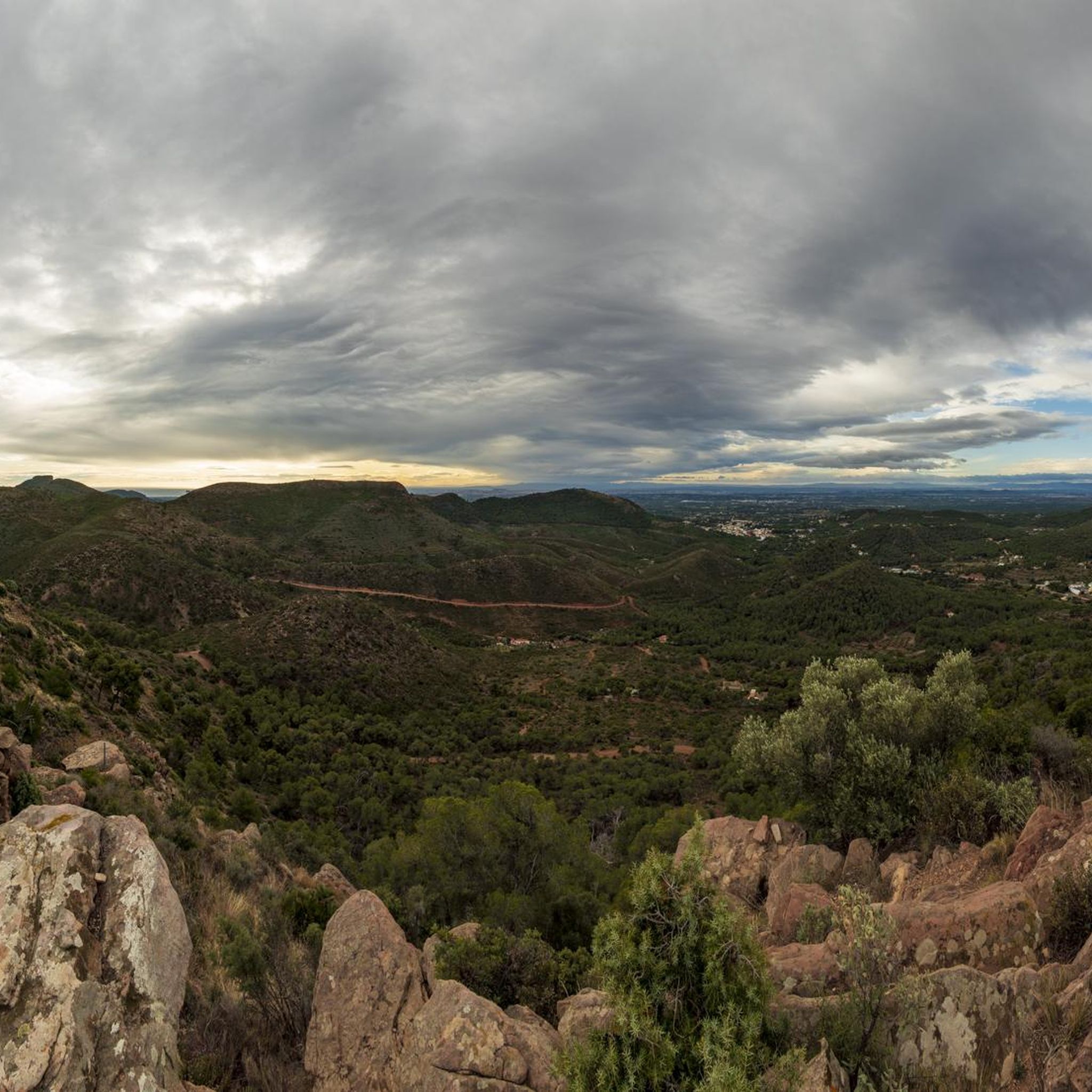
Hiking around Parc Natural de la Serra de la Calderona offers diverse landscapes characterized by extensive pine and cork oak forests, rugged peaks, and deep ravines. The park features varied geological formations, including breccias and sandstones, alongside numerous springs and lagoons. Many trails provide panoramic views of the surrounding natural beauty and the Turia Valley.
Best hiking trails around Parc Natural de la Serra de la Calderona
- The most popular hiking route is The route of the Garbí chains - Circular from Segart, a 4.5 miles (7.3 km) trail that takes 2 hours 40 minutes to complete, offering views of rugged terrain.
- Another top favourite among local hikers is El Puntal dels Llops — Circular from Olocau, a moderate 3.7 miles (5.9 km) path. This route winds through Mediterranean forests and offers scenic vistas.
- Local hikers also love the Mirador de Rebalsadors — Circular from Serra, a 11.7 miles (18.8 km) trail leading through varied terrain with significant elevation gain, often completed in about 5 hours 42 minutes.
- Hiking around Parc Natural de la Serra de la Calderona is defined by diverse forests, rugged peaks, and panoramic viewpoints. The extensive network of trails offers options for various ability levels, from easy walks to challenging ascents.
- The routes in Parc Natural de la Serra de la Calderona are highly rated by the komoot community with an average score of 4.5 stars from more than 800 reviews. More than 5000 hikers have used komoot to explore Parc Natural de la Serra de la Calderona's varied terrain.
Last updated: August 27, 2026
4.8
(66)
462
hikers
7.09km
02:40
390m
390m
The Garbí Chains Route - Circular from Segart immerses you in the mountainous landscapes of the Sierra Calderona Natural Park, offering a unique hiking experience. The trail winds through pine forests and rocky ravines, culminating in the famous Garbí Chains section, where an exciting ascent assisted by fixed chains awaits you. From the Mirador del Garbí, the views of the Gulf of Valencia are spectacular, a well-deserved reward after your effort.
For this 7.3-kilometer route, with 382 meters of elevation gain and an estimated duration of 2 hours and 40 minutes, it is essential to be well prepared. It is classified as difficult, so you will need good physical fitness, sturdy footwear, and experience on rocky terrain. It is not recommended for people with vertigo or young children, and it is advisable to carry enough water and start early to avoid the heat.
This route is particularly notable for its assisted scrambling section, which distinguishes it from other trails in the region. The Sierra Calderona, with its Buntsandstein and Muschelkalk geological formations, offers a diverse backdrop rich in Mediterranean flora. It is an excellent option for those seeking a technical challenge and stunning panoramic views near Valencia.
4.8
(73)
202
hikers
Moderate hike. Good fitness required. Easily-accessible paths. Suitable for all skill levels.

Sign up for free
4.2
(10)
43
hikers
18.8km
05:42
640m
640m
Hard hike. Very good fitness required. Easily-accessible paths. Suitable for all skill levels.
4.9
(18)
70
hikers
5.94km
01:46
150m
150m
Moderate hike. Great for any fitness level. Mostly accessible paths. Sure-footedness required.
4.2
(14)
36
hikers
Moderate hike. Good fitness required. Easily-accessible paths. Suitable for all skill levels.
Get access to more routes and recommendations from other explorers.
Sign up for free
Already have an account?
Our route recommendations are based on thousands of hikes, rides, and runs completed by other people on komoot.
Start today with a free account
Your next adventure awaits.
Login or Signup
Popular around Parc Natural de la Serra de la Calderona
Running Trails around Parc Natural de la Serra de la Calderona
MTB Trails around Parc Natural de la Serra de la Calderona
Cycling around Parc Natural de la Serra de la Calderona
Road Cycling Routes around Parc Natural de la Serra de la Calderona

Gravel biking around Parc Natural de la Serra de la Calderona
Tips from the Community

Old Aljive, In the mountains there are many of these constructions, in this case it is quite well preserved and has an explanatory sign. Curious.
0
0
Fuente, you find it on the descent from Rebalsadores to Serra, and a good place to take a breather if you go in the opposite direction. If you make a route to the crossing that goes up to Rebalsadores, you can extend it here and then do some climbing on the way back ;)
0
0

Garbí Viewpoint: Spectacular views of the Gulf of Valencia and, on clear days, as far as the Columbretes Islands. Ideal for sunrises and sunsets.
1
0

Very beautiful route, on clear days you can see the entire Gulf of Valencia from the viewpoint.
0
1

Very pleasant and beautiful route.
0
1

Fountain near the starting point of most of the Olocau routes. A few metres above is the Colladet or Collado de Sentig.
0
0
Frequently Asked Questions
How many hiking trails are available in Parc Natural de la Serra de la Calderona?
The Parc Natural de la Serra de la Calderona offers a vast network of trails, with over 220 hiking routes available. These range from easy walks to challenging ascents, catering to all experience levels.
What kind of landscapes can I expect to see while hiking?
Hikers will discover diverse Mediterranean landscapes, including extensive forests of Aleppo and maritime pines, significant cork oak groves, and rugged terrain with deep ravines. The park also features unique geological formations and numerous springs and lagoons.
Are there easy hiking trails suitable for beginners or families?
Yes, the park has 47 easy routes perfect for beginners or families. For example, the region research mentions easy circular routes like "Cueva del Cavall por la Presa de Olocau" (6.1 km) and "View of Serra – Torre del Senyor loop" (6.2 km). The park also offers accessible routes for people with functional diversity.
Are there challenging routes for experienced hikers?
Absolutely. For experienced hikers seeking a challenge, there are 40 difficult routes. An example is the The route of the Garbí chains - Circular from Segart, which is 7.3 km with significant elevation gain. Another demanding option is the Mirador de Rebalsadors — Circular from Serra, an 18.8 km trail with considerable elevation.
What are some notable viewpoints or panoramic spots along the trails?
Many trails offer stunning panoramic views. The Castell de Serra provides exceptional vistas over the Turia Valley to the coast. Other popular spots include the Garbí Viewpoint and the View from the Castel Real.
Are there any historical or cultural attractions to explore while hiking?
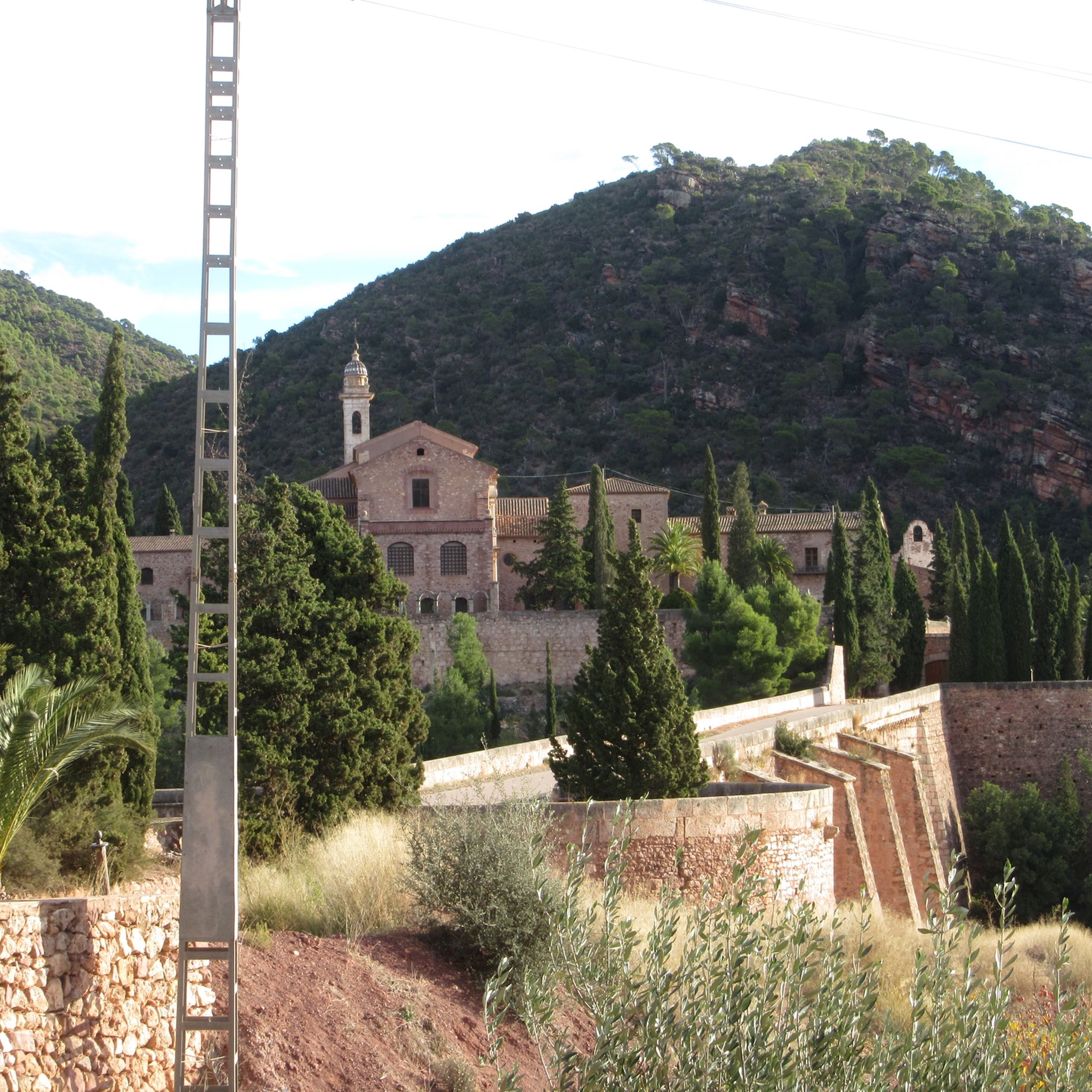
The park is rich in history. You can visit the historic Castell de Serra, a 13th-century fortress. Significant religious sites include the Cartuja de Porta Coeli and the Monastery of Santo Espíritu del Monte. The Castillo del Real is another historical landmark.
What kind of wildlife can I encounter in Parc Natural de la Serra de la Calderona?
The park is home to diverse wildlife, including wild boars, mountain cats, and foxes. Birdwatchers might spot goshawks and peregrine falcons. The lagoons also serve as resting places for migratory birds.
Are there circular hiking routes available?
Yes, many routes in the park are circular, offering convenient starting and ending points. Examples include Ascent to Castillo del Real via the Frare spring and Barranco de Portaceli y mirador de la Pedrera.
What is the best time of year to go hiking in the Parc Natural de la Serra de la Calderona?
Given its Mediterranean climate, the best times to hike are typically spring (March to May) and autumn (September to November). During these seasons, temperatures are milder, and the natural scenery is particularly vibrant, avoiding the intense heat of summer.
How can I get to Parc Natural de la Serra de la Calderona?
The park is located just over 30 kilometers north of Valencia, making it easily accessible. You can reach it by car, and there are various trailheads with parking options. Public transport might also be an option to some of the towns bordering the park, from which trails can be accessed.
What do other hikers say about their experience in Parc Natural de la Serra de la Calderona?
The area is highly rated by the komoot community, with an average score of 4.5 stars from over 800 reviews. Hikers often praise the diverse forests, rugged peaks, and the panoramic viewpoints that offer stunning vistas of the surrounding natural beauty and the Turia Valley.
Most popular routes around Parc Natural de la Serra de la Calderona
Most popular attractions around Parc Natural de la Serra de la Calderona

Get inspired with the komoot mobile app


Explore more
Browse the best Hikes in other regions.
