The best walks and hikes around Segurilla
4.7
(94)
709
hikers
96
hikes
Hiking around Segurilla offers diverse landscapes, from the serene waters of the Embalse de la Portiña to the historic Atalaya de Segurilla. The region is characterized by holm oak groves, rocky areas, and varied terrain within the broader Sierra de San Vicente. Trails often combine natural beauty with historical landmarks, providing a comprehensive outdoor experience.
Best hiking trails around Segurilla
- The most popular hiking route is La Portiña Reservoir and Segurilla Watchtower Trail, an 8.3 miles (13.3 km) moderate…
Last updated: June 23, 2026
5.0
(1)
6
hikers
13.3km
03:40
230m
230m
Moderate hike. Good fitness required. Easily-accessible paths. Suitable for all skill levels.
4.8
(12)
57
hikers
7.36km
01:54
40m
40m
Easy hike. Great for any fitness level. Easily-accessible paths. Suitable for all skill levels.

Sign up for free
5.0
(1)
10
hikers
10.9km
03:02
200m
200m
Moderate hike. Good fitness required. Easily-accessible paths. Suitable for all skill levels.
3
hikers
7.49km
01:59
70m
70m
Easy hike. Great for any fitness level. Easily-accessible paths. Suitable for all skill levels.
5.0
(1)
4
hikers
11.3km
03:09
210m
210m
Moderate hike. Good fitness required. Easily-accessible paths. Suitable for all skill levels.
Get access to more routes and recommendations from other explorers.
Sign up for free
Already have an account?
Our route recommendations are based on thousands of hikes, rides, and runs completed by other people on komoot.
Start today with a free account
Your next adventure awaits.
Login or Signup
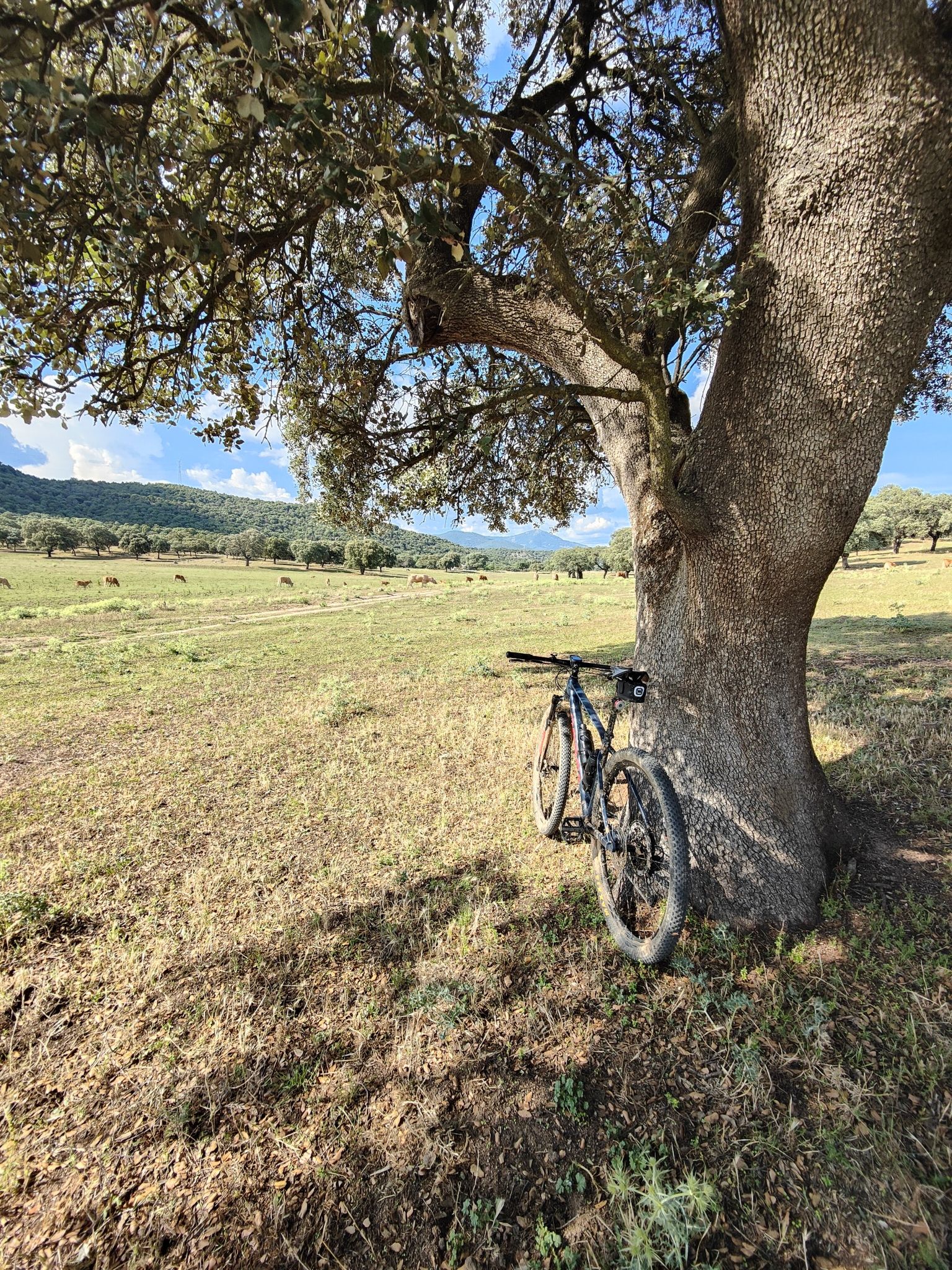
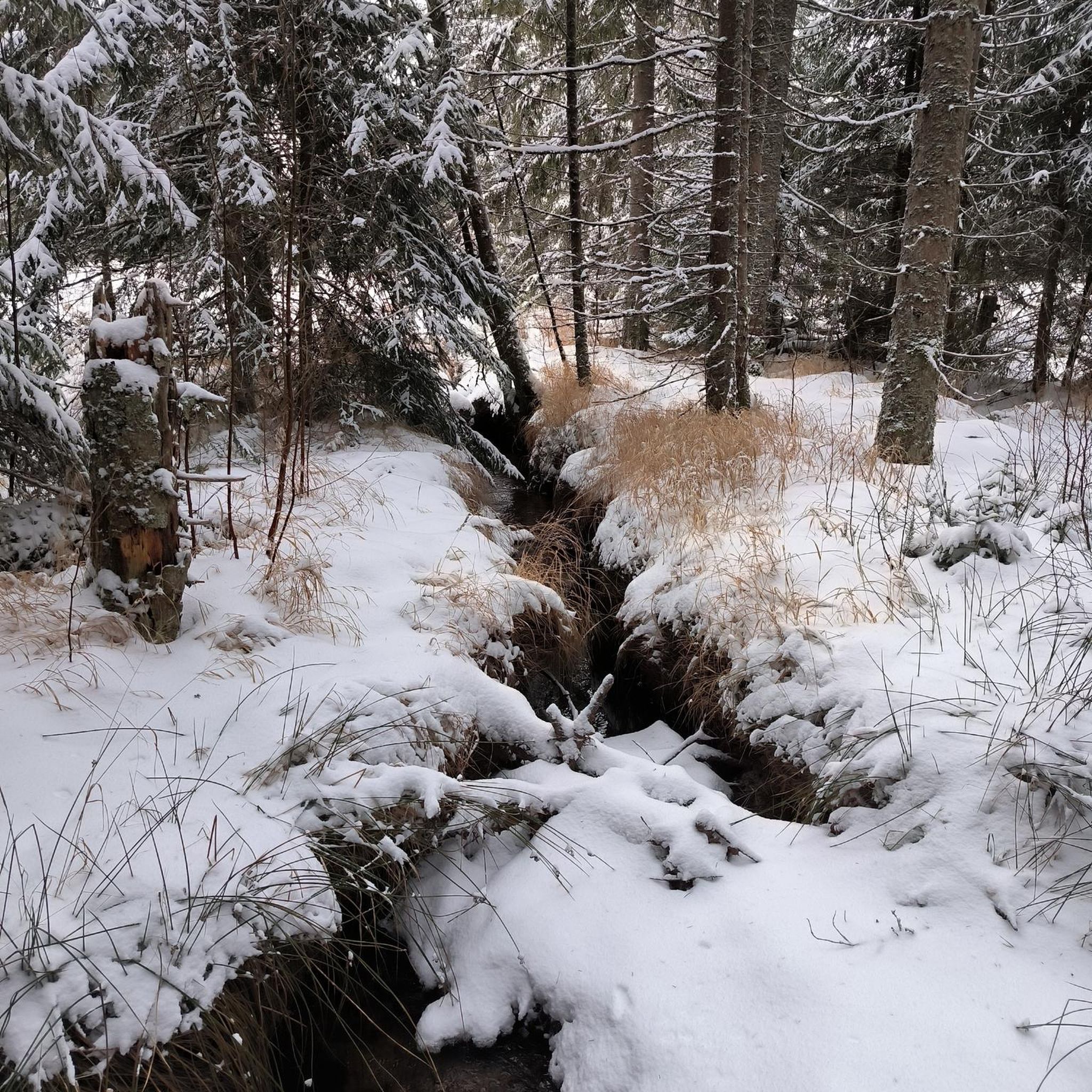
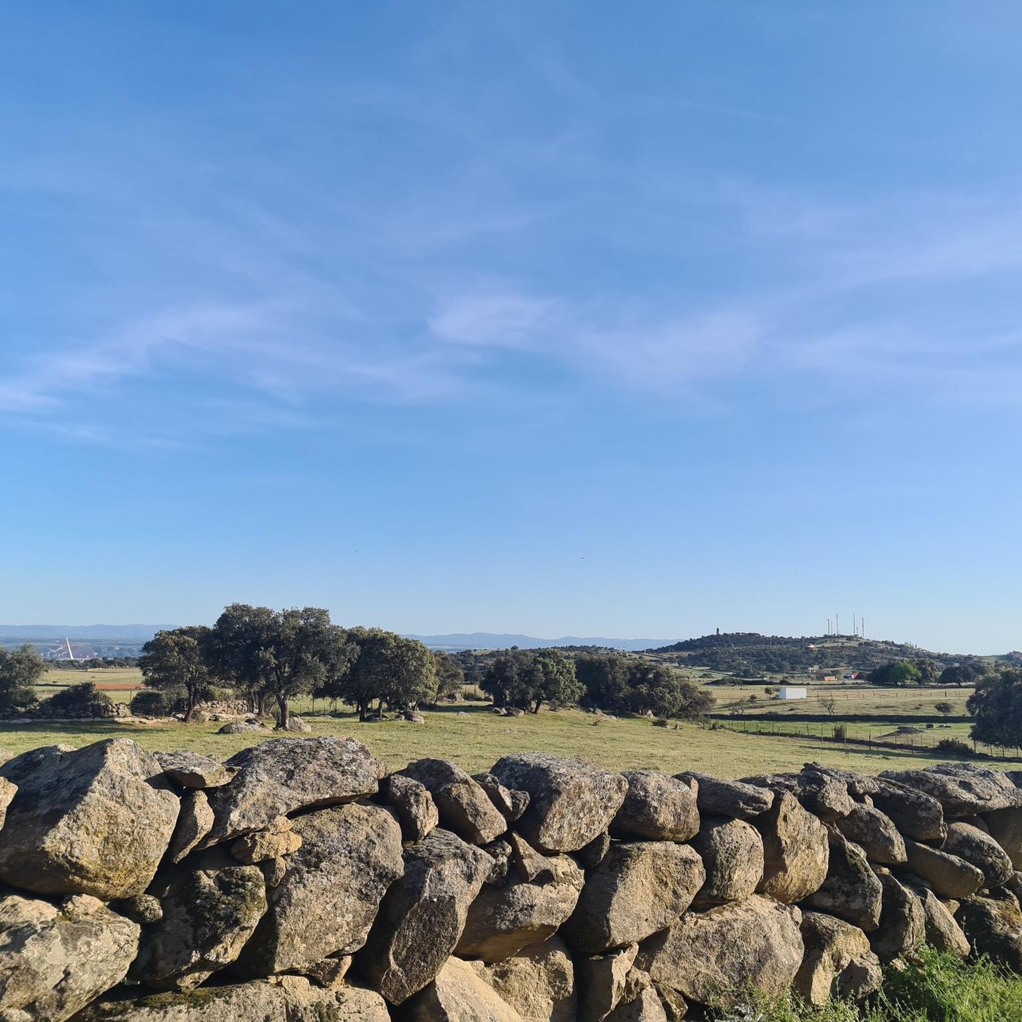
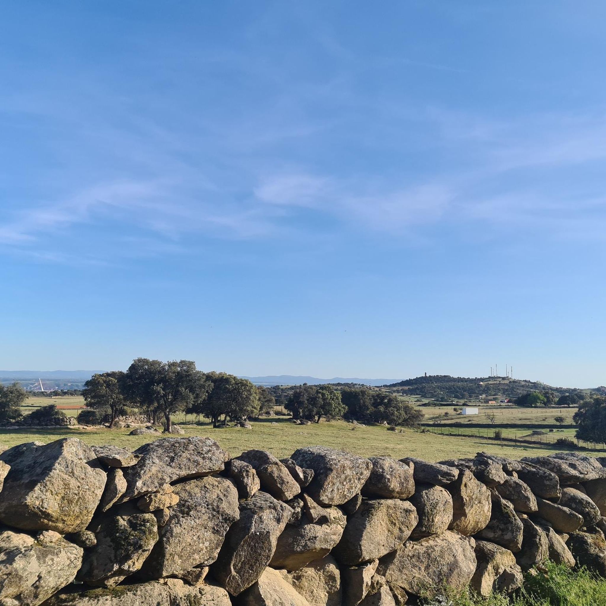


Other adventures around Segurilla

Tips from the Community

In the Segurilla cliff ravine are the ruins of an old mill built to harness the current. Even some of the millstones are still preserved.
0
0

Mill built to take advantage of the movement of water by setting in motion the stones that ground the grain, which in turn was used to make bread. Its energy was also used for other agricultural tasks.
1
0

La Portiña is a small water reservoir located north of Talavera de la Reina on the Portiña stream and next to the natural environment of the Berrocal mountain range.
9
0

A tower built in the 10th century with the objective of surveillance and defense of the surrounding territories. A place at the top of the town of Segurilla from which you can see the entire Talavera region, the Portiña reservoir, etc.
2
0
Small, but very beautiful Talavera de la Reina reservoir. There are trails to go around it on foot or by mountain bike. The Portiña Reservoir is a suitable place to relax in the shade, eat (it has a picnic area), fish and walk along the water.
2
0
Cross on the way to Buenaventura, in the Cerro del Espino.
8
0

Nice cross in the middle of the road
1
5
Frequently Asked Questions
How many hiking trails are there in Segurilla?
Segurilla offers a wide variety of hiking opportunities, with nearly 80 routes available. These range from easy strolls around the reservoir to more challenging treks through the Sierra de San Vicente.
Are there easy hiking trails suitable for beginners or families in Segurilla?
Yes, Segurilla has numerous easy trails perfect for beginners or families. For instance, the La Portiña Reservoir loop from Embalse de La Portiña is an easy 7.4 km path offering pleasant walks around the reservoir, characterized by lush vegetation and holm oaks. There are 38 easy routes in total.
What kind of landscapes can I expect to see while hiking in Segurilla?
Hiking in Segurilla offers diverse landscapes, from the serene waters of the Embalse de la Portiña to the historic Atalaya de Segurilla. You'll encounter holm oak groves, rocky areas known as 'berrocales', and varied terrain within the broader Sierra de San Vicente, including dehesas and pine forests.
Are there any historical landmarks to explore on the trails around Segurilla?
Absolutely. A prominent historical landmark is the 10th-century Moorish watchtower, the Atalaya de Segurilla. Routes like the La Portiña Reservoir and Segurilla Watchtower Trail combine scenic reservoir views with a visit to this historic site. You can also find other points of interest nearby, such as the Church of San Francisco.
Can I find circular hiking routes in Segurilla?
Yes, many of the trails in Segurilla are circular, allowing you to start and end at the same point. Examples include the La Portiña Reservoir loop from Embalse de La Portiña and the Cruz de lo Llano loop from Segurilla. The region is also part of the extensive 141 km Senda Viriato, a long-distance circular route through the Sierra de San Vicente.
Is Segurilla suitable for dog-friendly hikes?
While specific regulations for dogs on trails can vary, the natural environment of Segurilla, with its open spaces, dehesas, and reservoir paths, generally offers good opportunities for hiking with dogs. Always ensure your dog is under control and check for any local signage regarding pet access, especially around wildlife habitats like the Embalse de la Portiña.
What is the best time of year to go hiking in Segurilla?
The diverse landscapes of Segurilla make it suitable for hiking throughout much of the year. Spring and autumn offer pleasant temperatures and vibrant scenery. Even in winter, the trails can be enjoyable, though it's always advisable to check local weather conditions and trail accessibility before heading out.
Are there options for longer, more challenging hikes in Segurilla?
Yes, for those seeking more challenging routes, Segurilla offers several moderate to difficult trails. The region is integrated into the Sierra de San Vicente, which features a network of trails including sections of the Senda Viriato, a 141 km long-distance route. There are 36 moderate and 4 difficult routes available.
What do other hikers enjoy the most about hiking in Segurilla?
The area is highly rated by the komoot community, with an average score of 4.8 stars from over 90 reviews. Hikers often praise the combination of natural beauty, such as the serene Embalse de la Portiña, and the historical significance of sites like the Atalaya de Segurilla. The varied terrain and well-marked paths are also frequently highlighted.
Are there any scenic viewpoints or places for birdwatching in Segurilla?
Yes, the Atalaya de Segurilla, perched on a hill at 623 meters above sea level, offers commanding views of the surrounding area. The Embalse de la Portiña is also an excellent spot for birdwatching, with observation posts available and sightings of herons, coots, and mallards common.
Are there any trails that combine water features like a reservoir or river with historical sites?
Many trails in Segurilla beautifully combine natural water features with historical landmarks. The La Portiña Reservoir and Segurilla Watchtower Trail is a prime example, offering both scenic reservoir views and a visit to the ancient Atalaya de Segurilla.
What kind of wildlife might I encounter while hiking in Segurilla?
The Embalse de la Portiña is a haven for wildlife. Hikers often report sightings of various bird species like herons, coots, and mallards. Mammals such as foxes and wild boars are also known to inhabit the vicinity, particularly in the lush vegetation surrounding the reservoir.
Most popular routes around Segurilla
Most popular attractions around Segurilla

Get inspired with the komoot mobile app


Explore more
Browse the best Hikes in other regions.
