The best walks and hikes around Pizarra
4.5
(348)
1,564
hikers
19
hikes
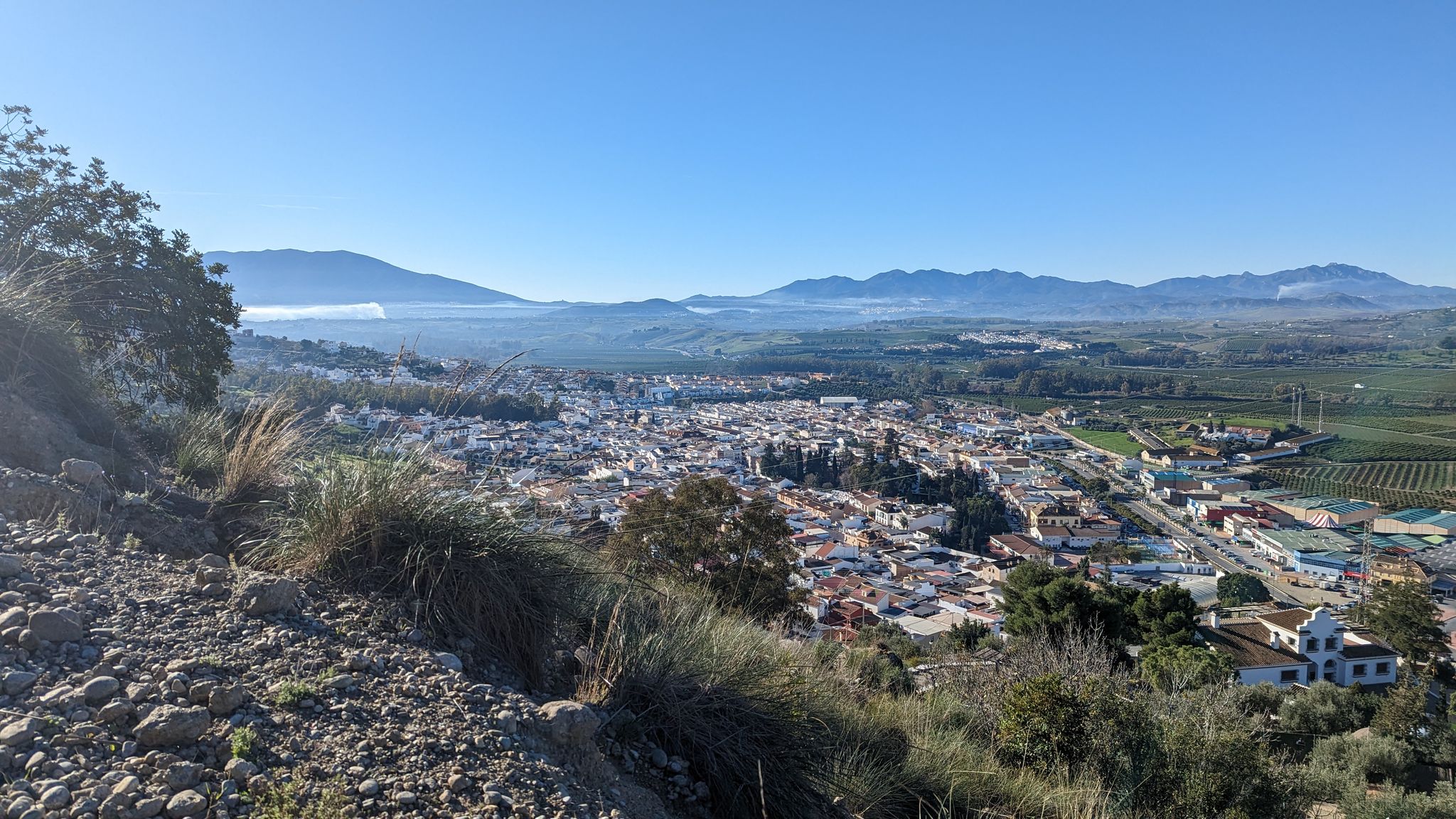
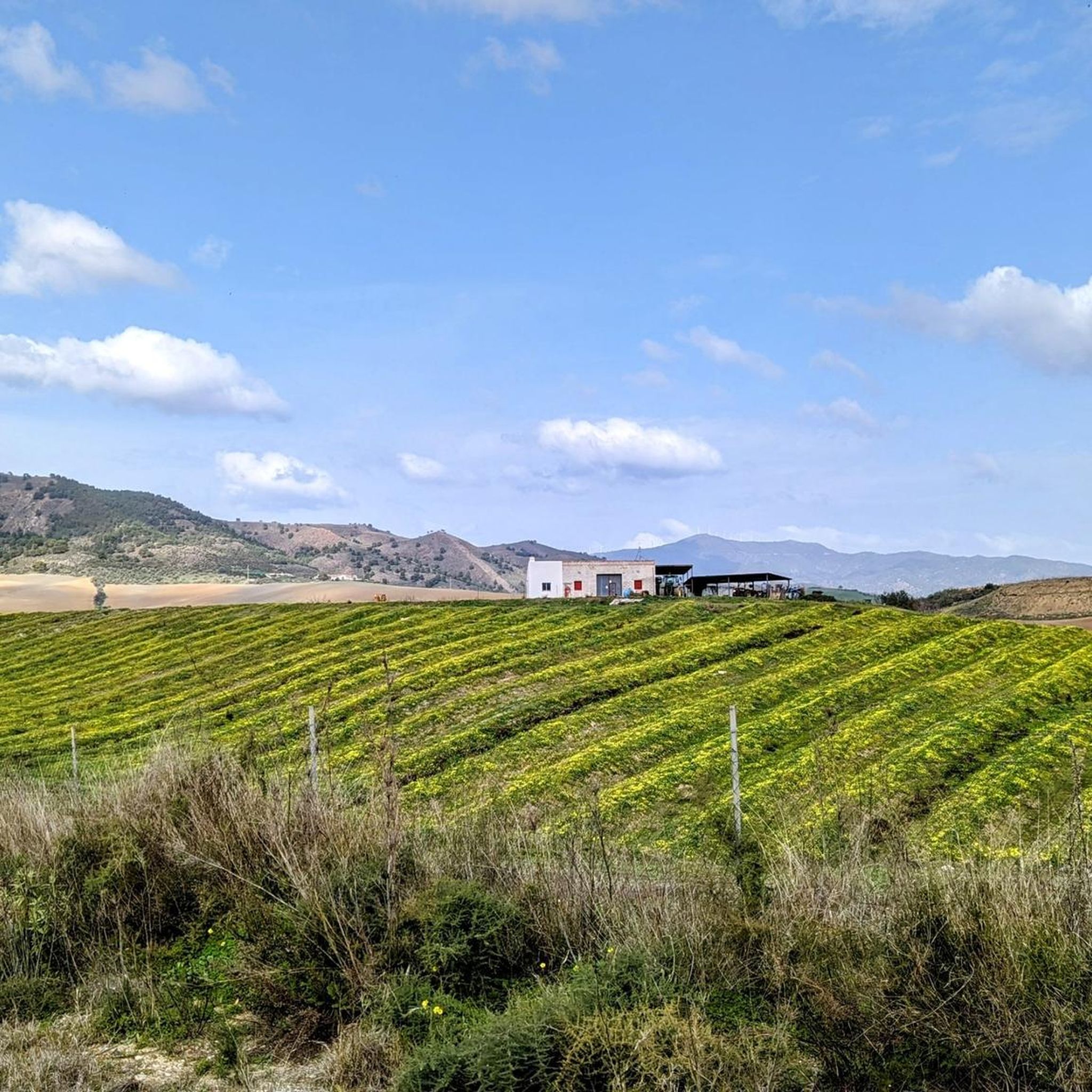
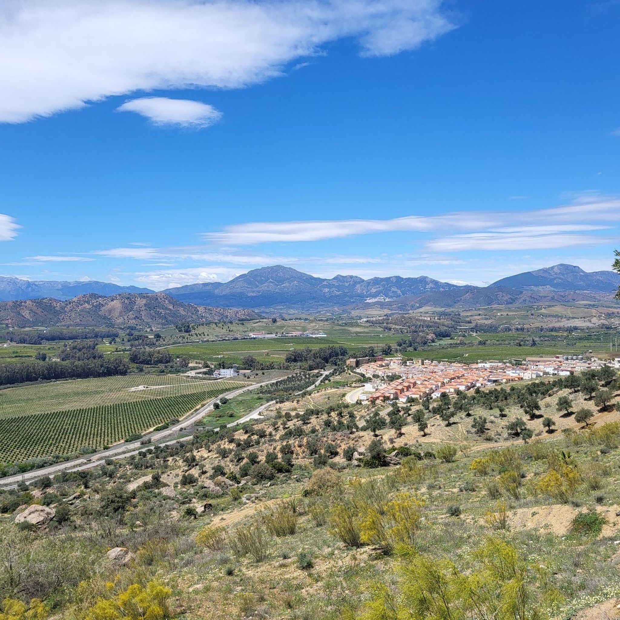
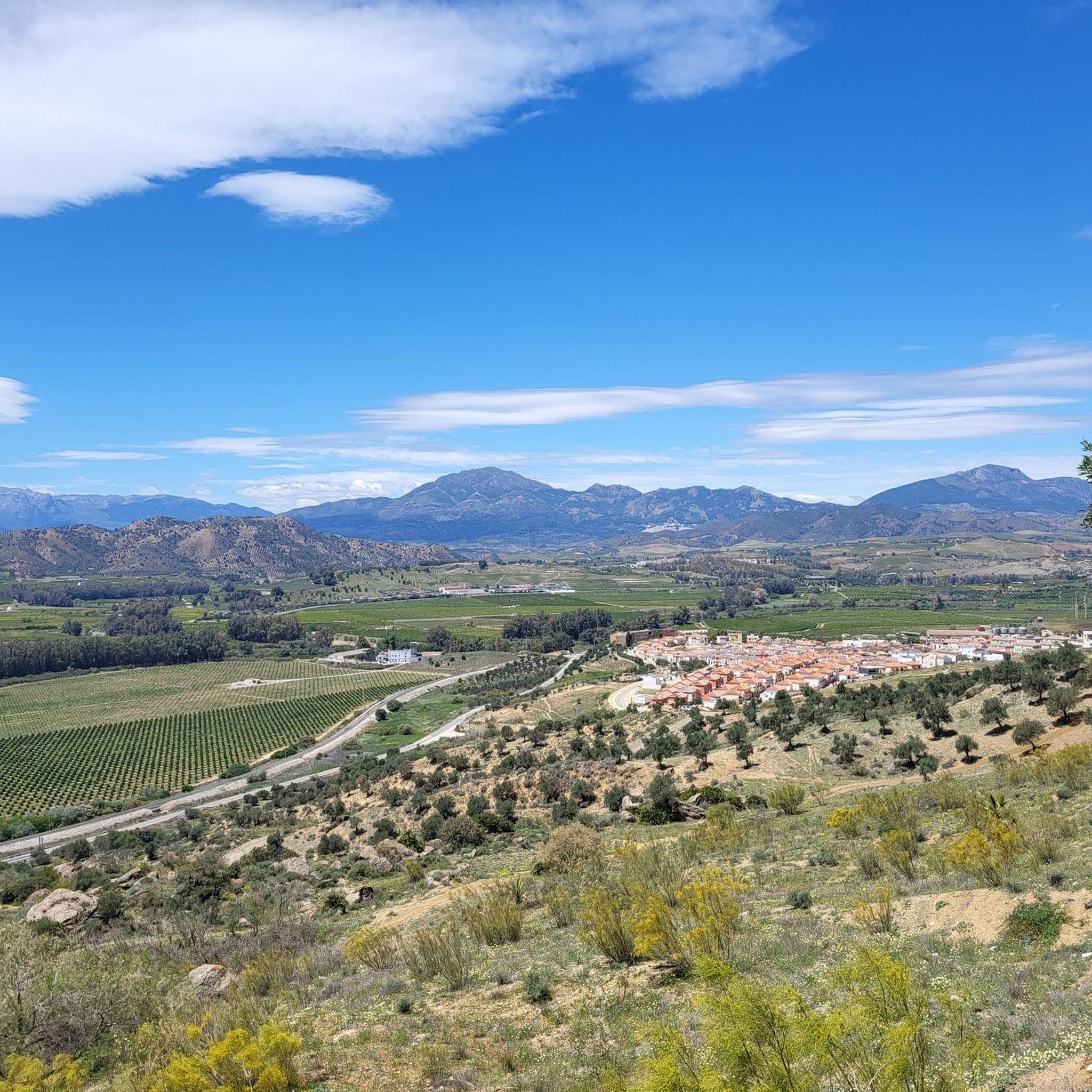
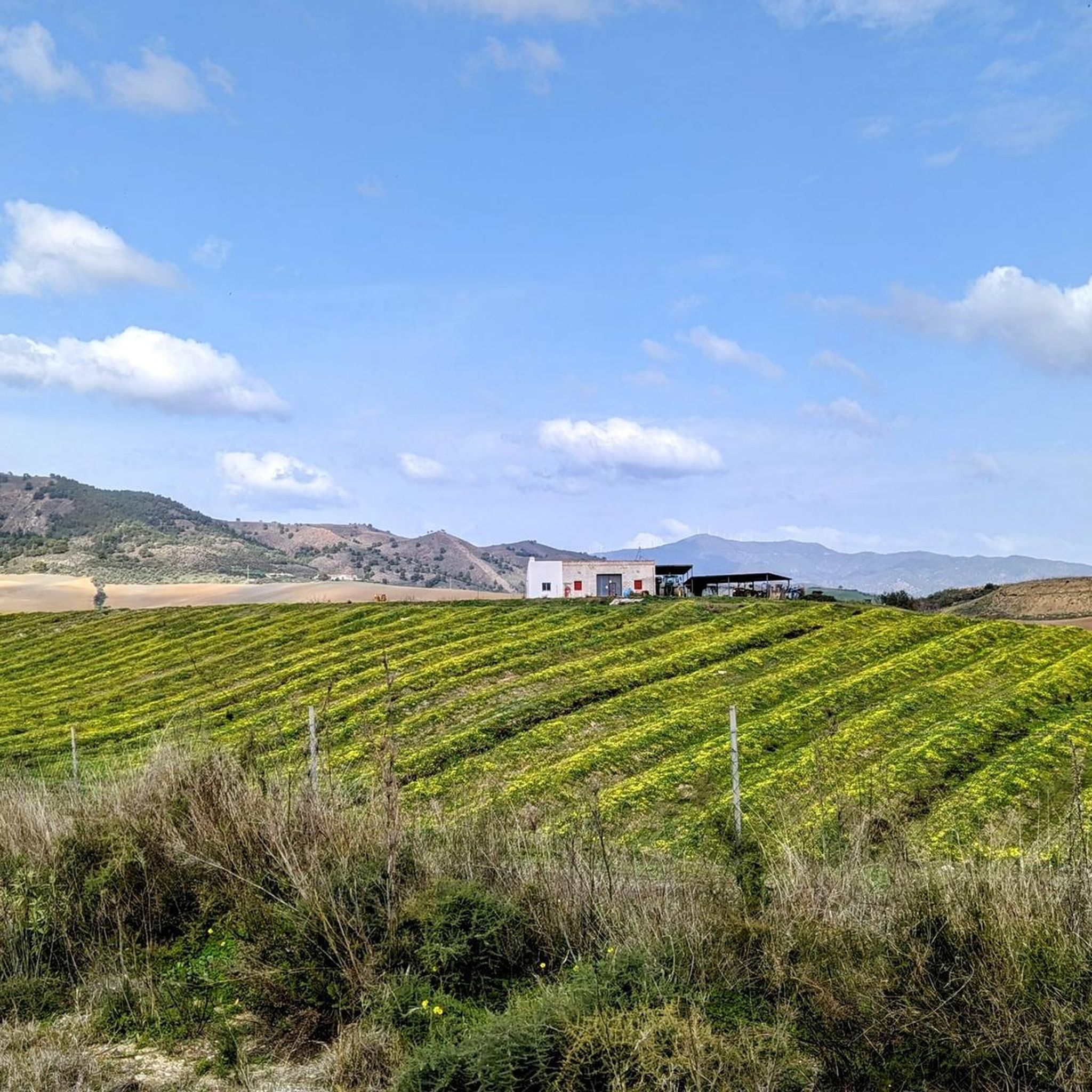
Hiking around Pizarra offers diverse landscapes within the Guadalhorce valley in Malaga, Spain. The region features a varied topography of hills and mountains, including olive groves, farm fields, and refreshing pine forests. Hikers can explore trails framed by mountain ranges such as Sierra de Mijas and Sierra de las Nieves, providing panoramic views of the valley and its natural features.
Best hiking trails around Pizarra
- The most popular hiking route is Raja Ancha – The Dark Cave loop from Pizarra, a 5.3 miles (8.5 km) trail that takes 3 hours 2 minutes to complete. This route explores the Raja Ancha recreational area and leads to the intriguing Dark Cave.
- Another top favourite among local hikers is The Dark Cave – El Santo Recreation Area loop from Pizarra, a difficult 9.2 miles (14.9 km) path. This trail offers expansive views of the Guadalhorce valley from the El Santo viewpoint.
- Local hikers also love the Ermita Viewpoint loop from Pizarra, a 2.9 miles (4.7 km) trail leading through varied terrain, often completed in about 1 hour 23 minutes. This route provides excellent views from the Mirador de la Ermita.
- Hiking around Pizarra is defined by its hills, mountains, and the scenic Guadalhorce valley, with trails often passing through pine forests and olive groves. The network offers options for easy walks, moderate excursions, and more challenging routes for different ability levels.
- The routes in Pizarra are highly rated by the komoot community with an average score of 4.5 stars from over 290 reviews. More than 1,300 hikers have used komoot to explore Pizarra's varied terrain.
Last updated: July 9, 2026
4.6
(29)
134
hikers
8.51km
03:02
370m
370m
Moderate hike. Good fitness required. Mostly accessible paths. Sure-footedness required.
4.9
(26)
146
hikers
7.41km
02:55
330m
330m
Moderate hike. Good fitness required. Mostly accessible paths. Sure-footedness required.

Sign up for free
4.6
(11)
21
hikers
14.9km
05:03
550m
550m
Hard hike. Very good fitness required. Mostly accessible paths. Sure-footedness required.
4.5
(4)
22
hikers
9.14km
03:11
370m
370m
Moderate hike. Good fitness required. Mostly accessible paths. Sure-footedness required.
4.9
(7)
16
hikers
4.73km
01:22
120m
120m
Easy hike. Great for any fitness level. Easily-accessible paths. Suitable for all skill levels.
Get access to more routes and recommendations from other explorers.
Sign up for free
Already have an account?
Our route recommendations are based on thousands of hikes, rides, and runs completed by other people on komoot.
Start today with a free account
Your next adventure awaits.
Login or Signup

Other adventures around Pizarra

Tips from the Community

Good place to spend a Sunday with family and friends
1
0
Good place to have a snack on your trip to the Saint
0
0
Good views of the town and the bridges (cars and trains) over the river
0
0
Spectacular views of almost all the mountains in the province of Malaga
0
0

The views are incredible, whether you ride your bike from behind or walk from the village, they do not disappoint.
0
0

Due to the hardness and demand of its route
1
0

Mirador de la Ermita is a mandatory point on the Pizarra map to enjoy the views of the impressive Guadalhorce valley, surrounded by the mountains: Sierra de Mijas, Sierra de las Nieves and Sierra Aguas looking from left to right. You can continue the walk north to reach the hermitage that gives its name to this viewpoint. Hermitage of Nuestra Señora de la Fuensanta has roots that date back to the 10th century, it was built on a semi-rupestrian Mozarabic church. The current construction, from the 16th century, was built on the foundations of the previous one.
3
1

This picnic area is very popular and is therefore very busy on weekends in summer. At the top and bottom of the long park there are nice, shady seating areas, and in the middle there are a large number of tables and chairs, making it ideal for bus tours or school classes.
1
0
Frequently Asked Questions
What types of landscapes can I expect to see while hiking in Pizarra?
Pizarra offers a diverse topography, ranging from olive groves and farm fields to refreshing pine forests and rugged mountain ranges. You'll encounter hills and mountains, with trails providing panoramic views of the Guadalhorce valley and its surrounding natural features.
Are there any easy hiking trails suitable for beginners or families in Pizarra?
Yes, Pizarra has trails suitable for various fitness levels. For an easy option, consider the Ermita Viewpoint loop from Pizarra, which is 4.7 km long and typically takes about 1 hour 23 minutes to complete, offering excellent views from the Mirador de la Ermita.
What are some notable viewpoints or landmarks to look out for on Pizarra's trails?
Hikers can enjoy spectacular views from the El Santo Viewpoint, which features an impressive monument and offers panoramic vistas of the Guadalhorce valley, including distant sights like the El Chorro dam. The Mirador de la Ermita also provides excellent views of the valley, with the Sierra de Mijas, Sierra de las Nieves, and Sierra Aguas in the distance. You might also encounter unique rock formations and mysterious caves like La Cueva Oscura (The Dark Cave).
Are there any circular hiking routes available in Pizarra?
Yes, many routes in Pizarra are circular. A popular moderate option is the Raja Ancha – The Dark Cave loop from Pizarra, which is 8.5 km long. For a more challenging circular hike, try The Dark Cave – El Santo Recreation Area loop from Pizarra, covering 14.9 km.
What do other hikers say about the trails in Pizarra?
The hiking routes in Pizarra are highly rated by the komoot community, with an average score of 4.5 stars from over 290 reviews. Hikers often praise the varied terrain, the stunning panoramic views from viewpoints, and the opportunity to explore unique natural features like caves and pine forests.
Are there any recreational areas suitable for picnics or starting points for hikes?
The Raja Ancha Recreational Area is known as the 'green lung' of Pizarra. It's an easily accessible natural paradise perfect for picnics and serves as an excellent starting point for several recommended hiking routes in the area.
What kind of natural features, like caves or rock formations, can be explored?
Pizarra's trails lead to interesting rocky landscapes, particularly marked by sandstone formations within pine forests. You can explore mysterious caves such as 'The Dark Cave' (La Cueva Oscura) and 'Raja Ancha', with the latter featuring a unique staircase carved into the rocks.
What is the best time of year to go hiking in Pizarra?
While Pizarra offers hiking opportunities year-round, the almond trees are particularly beautiful when in bloom in January, adding a unique charm to the landscape. The diverse topography means different seasons offer different experiences, from lush greenery to clearer views in cooler months.
Are there any longer or more challenging hikes for experienced trekkers?
Yes, for experienced hikers, there are more challenging options. The The Dark Cave – El Santo Recreation Area loop from Pizarra is a difficult 14.9 km path offering expansive views. Another moderate but longer option is the El Santo Recreation Area – The Dark Cave loop from Aljaima, which spans 15.4 km.
What are some nearby attractions or towns I can visit in conjunction with hiking in Pizarra?
Pizarra is well-situated for exploring other points of interest. You could visit the nearby town of Álora and its historic Álora Castle. The region is also known for its proximity to the famous El Caminito del Rey, offering another renowned hiking experience nearby.
How many hiking routes are available in the Pizarra area?
There are over 15 hiking routes available around Pizarra, catering to various skill levels. This includes 2 easy routes, 11 moderate routes, and 4 difficult routes, ensuring options for everyone from casual walkers to experienced trekkers.
Most popular attractions around Pizarra

Get inspired with the komoot mobile app


Explore more
Browse the best Hikes in other regions.
