The best walks and hikes around Riogordo
4.2
(614)
2,099
hikers
109
hikes
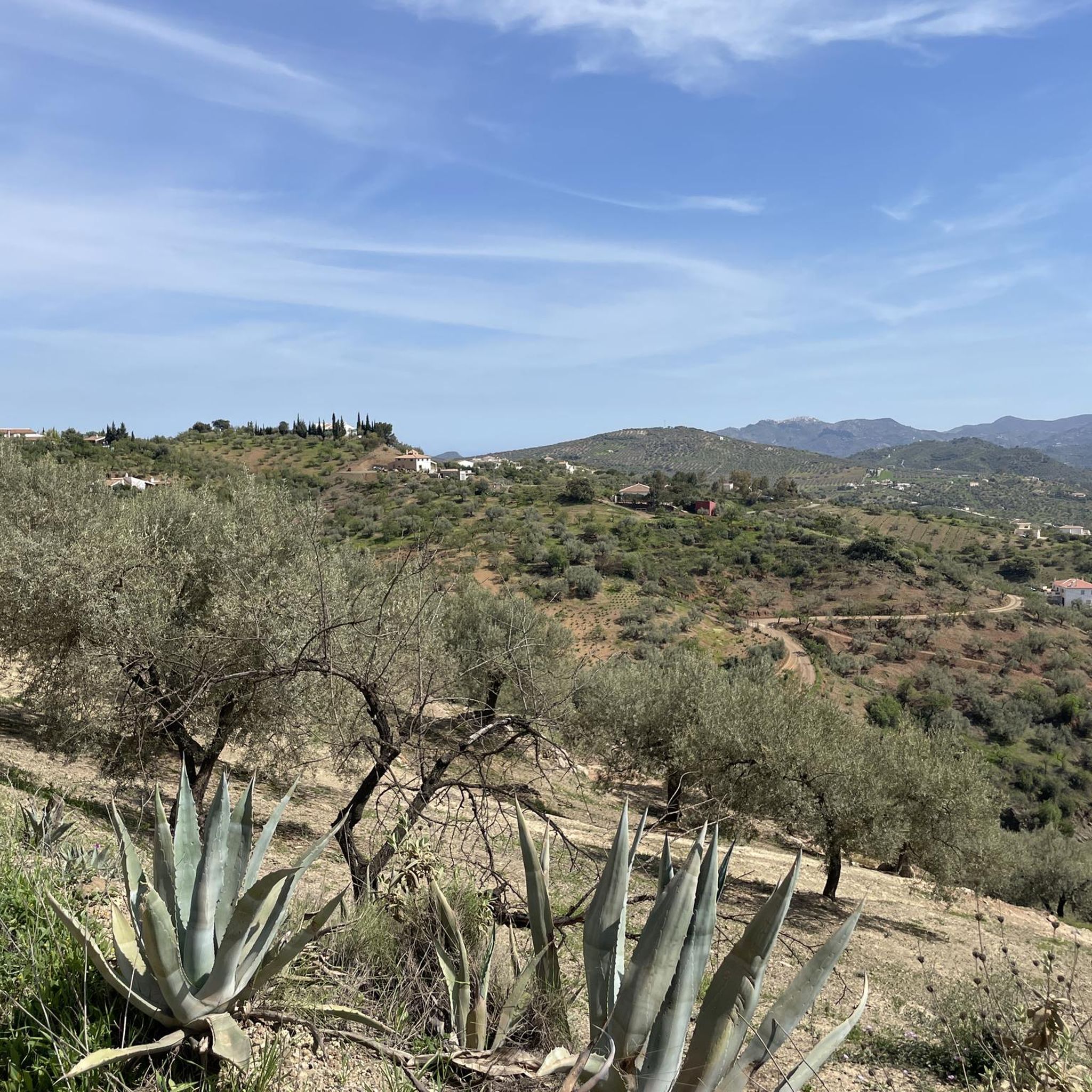
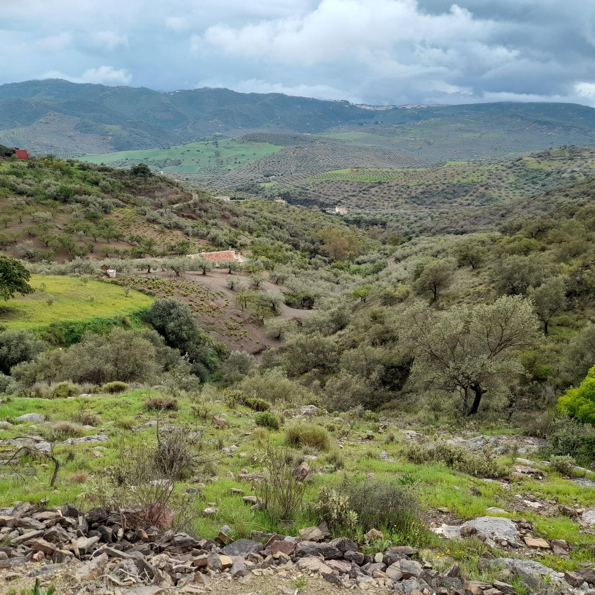
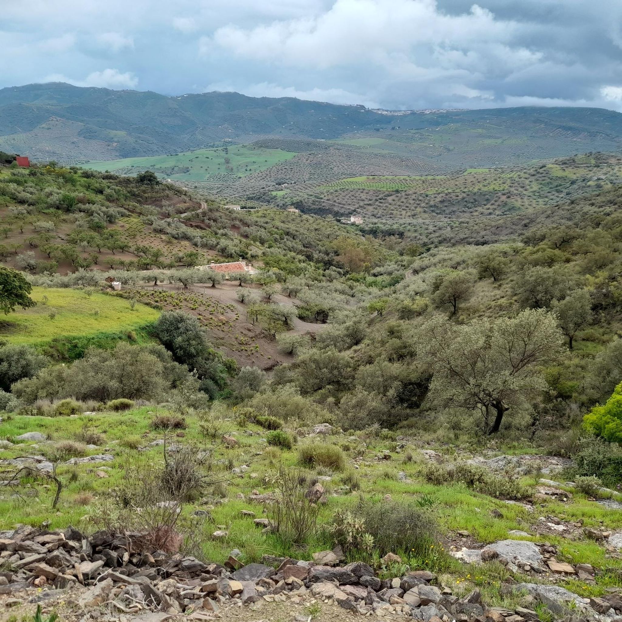
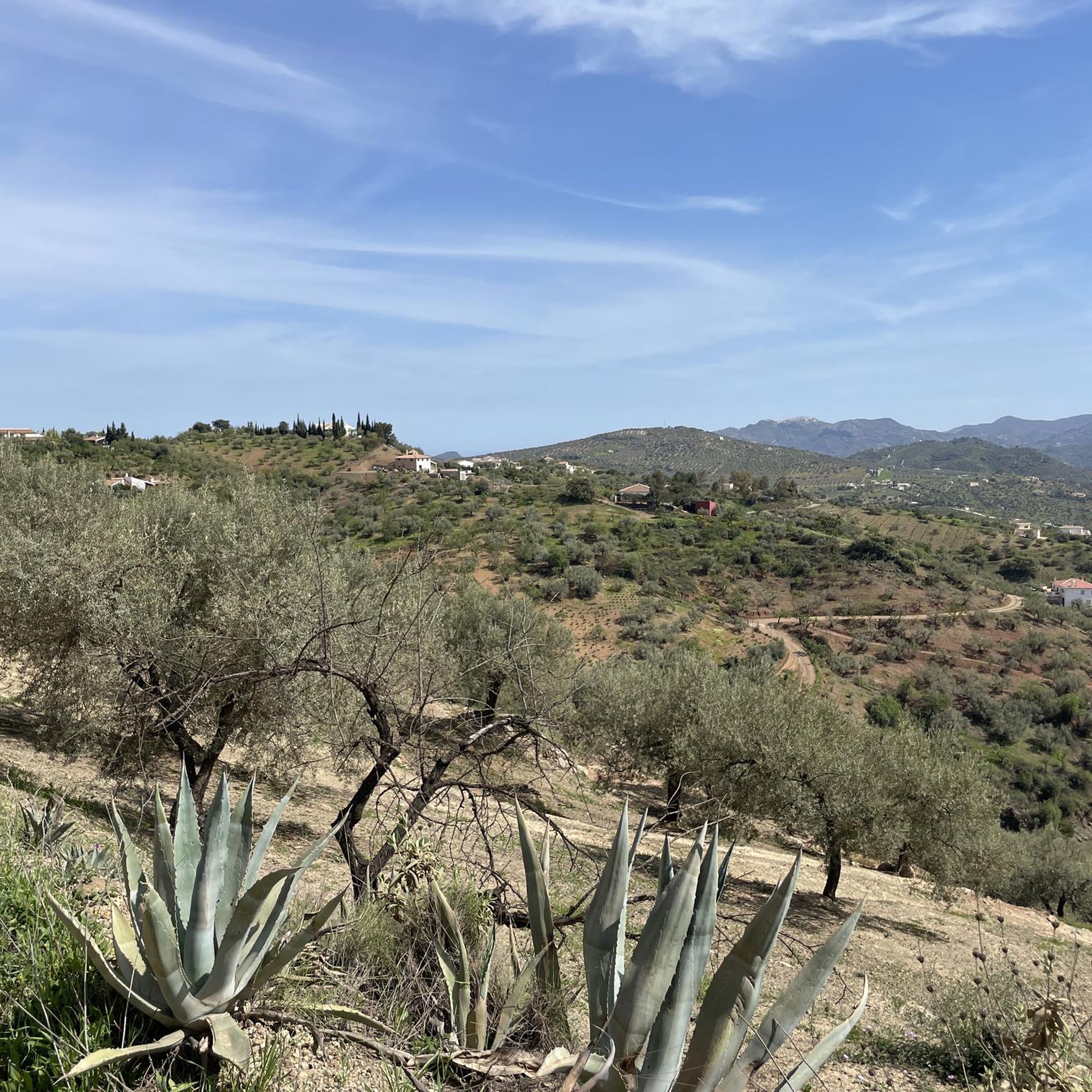
Hiking around Riogordo provides access to a varied landscape characterized by hills, farmland, and rocky terrain. The region features significant natural elements such as the Río de la Cueva, dramatic rock formations like the Tajos, and extensive olive groves. Hikers can explore oak forests and open areas adorned with aromatic shrubs, offering a range of experiences across different elevations.
Best hiking trails around Riogordo
- The most popular hiking route is Hiking loop from Majiaza, a 3.9 miles (6.3 km) trail that takes 1 hour 50 minutes to complete, offering an easy outing through the local landscape.
- Another top favourite among local hikers is Tajos Gomer – Summit of Tajo de Fraile loop from Alfarnatejo, a moderate 6.0 miles (9.7 km) path that winds through dramatic rock formations and offers expansive views.
- Local hikers also love the Alfarnatejo Water Wheel – Kiss Me in This Corner loop from El Aguilar Libre, a 6.4 miles (10.3 km) trail leading through varied terrain, often completed in about 3 hours 37 minutes.
- Hiking around Riogordo is defined by its mix of river valleys, rugged rock formations, and agricultural landscapes with olive groves. The network offers options for different ability levels, from gentle strolls to more challenging ascents.
- The routes in Riogordo are highly rated by the komoot community with an average score of 4.3 stars from over 500 reviews. More than 1,800 hikers have used komoot to explore Riogordo's varied terrain.
Last updated: July 5, 2026
5.0
(10)
31
hikers
6.27km
01:50
180m
180m
Easy hike. Great for any fitness level. Easily-accessible paths. Suitable for all skill levels.
2.7
(3)
11
hikers
Moderate hike. Good fitness required. Mostly accessible paths. Sure-footedness required.

Sign up for free
4.5
(4)
13
hikers
7.90km
02:24
260m
270m
Moderate hike. Good fitness required. Easily-accessible paths. Suitable for all skill levels.
7
hikers
13.9km
04:07
390m
390m
Moderate hike. Good fitness required. Easily-accessible paths. Suitable for all skill levels.
4.0
(2)
5
hikers
4.78km
01:23
120m
120m
Easy hike. Great for any fitness level. Easily-accessible paths. Suitable for all skill levels.
Get access to more routes and recommendations from other explorers.
Sign up for free
Already have an account?
Our route recommendations are based on thousands of hikes, rides, and runs completed by other people on komoot.
Start today with a free account
Your next adventure awaits.
Login or Signup


Other adventures around Riogordo

Tips from the Community

In May, Riogordo celebrates “Snail Day” with a big festival and people come from far and wide to try the local snail dish.
1
0

A steep scrambly descent West from the summit gives a good circuit.
0
0

This ethnographic museum has a continuous exhibition of utensils and tools used in the past. One of the great attractions is the oil mill, among other elements. In addition, there are also temporary exhibitions of contemporary painters. It can be visited from Thursday to Sunday throughout the year.
1
0

These are two of the Sábar pits that form part of the Central Malagueño Limestone Arch. The Doña Ana pit is 1,202 meters high, and the Gomer pit is 1,129 meters high. Both formations are separated from each other by a depression called Tallón. The third and highest of the pits is that of Fraile, which at 1,229 meters is hidden behind these two.
1
0
Frequently Asked Questions
What kind of hiking trails can I find around Riogordo?
Riogordo offers a diverse range of hiking trails, from gentle riverside strolls along the Río de la Cueva to challenging paths through dramatic rock formations like the Tajos de Gomer. You'll encounter varied terrain including olive groves, oak forests, and open landscapes with aromatic shrubs, catering to different fitness levels.
Are there hiking routes suitable for families in Riogordo?
Yes, Riogordo has options for families. The region features easier routes that combine river views with glimpses of village life and orchards. For example, the Hiking loop from Majiaza is an easy 6.3 km trail that takes less than two hours, perfect for a shorter outing.
Can I bring my dog on the hiking trails in Riogordo?
Many trails in Riogordo are suitable for dogs, offering varied landscapes from river paths to open hillsides. However, it's always recommended to keep dogs on a leash, especially in areas with wildlife or near agricultural land, and to check specific trail regulations if available.
What natural features and landmarks can I see while hiking in Riogordo?
Hikers can explore significant natural features such as the Río de la Cueva, dramatic rock formations like the Tajos de Gomer, Doña Ana, and Fraile, and extensive olive groves. From higher elevations, you can enjoy panoramic views stretching across multiple villages. You might also spot highlights like the Tajo Gomer Summit or the Peña Negra Summit.
Are there many circular hiking routes available in Riogordo?
Yes, Riogordo offers several circular routes. Many trails are designed as loops, allowing you to start and end in the same location without retracing your steps. An example is the Folklore Museum – Riogordo loop from Riogordo, a moderate 7.9 km trail.
What is the best time of year to go hiking in Riogordo?
The best time to hike in Riogordo is typically during the spring and autumn months when temperatures are milder and the landscape is vibrant. Spring brings blooming wildflowers, while autumn offers pleasant weather and beautiful colors. Summer can be very hot, making early morning or late afternoon hikes preferable, and winter can be cooler but still suitable for hiking on many days.
Are there any historical or cultural points of interest along the hiking trails?
Beyond natural beauty, some routes incorporate archaeological sites such as Phoenician tombs in the Sierra del Rey and Roman remains. The village of Riogordo itself has an ethnographic museum. The Riogordo – Snail Sculpture in Riogordo loop from Camping Rural JeSuNoJa offers a longer route that passes through the local area.
What kind of wildlife might I encounter on the trails around Riogordo?
The region's diverse habitats support various wildlife. On trails like the Ruta de la Sierra, you might have the chance to spot local animals such as mountain goats, foxes, and different bird species, including eagles.
Is parking available near the trailheads in Riogordo?
Parking is generally available in and around the village of Riogordo, which serves as a common starting point for many trails. For specific trailheads further afield, it's advisable to check local maps or komoot tour details for designated parking areas.
What do other hikers enjoy the most about hiking in Riogordo?
The hiking experience in Riogordo is highly rated by the komoot community, with an average score of 4.3 stars from over 500 reviews. Hikers frequently praise the varied landscape, from serene olive groves to dramatic rock formations, and the options available for different ability levels. The panoramic views from higher points are also a common highlight.
How many hiking trails are available in the Riogordo area?
There are over 110 hiking trails available around Riogordo, offering a wide selection for all preferences. These include 36 easy routes, 67 moderate routes, and 7 more challenging options, ensuring there's a path for every adventurer.
Are there any challenging hikes with extensive views in Riogordo?
Yes, for those seeking a challenge and breathtaking vistas, the 'Rutas de los Tajos' (Cliffs Routes) are ideal. These trails wind through rough terrain and showcase impressive natural sculptures. The Tajos Gomer – Summit of Tajo de Fraile loop from Alfarnatejo is a moderate 9.7 km path known for its dramatic rock formations and expansive views.
Most popular attractions around Riogordo

Get inspired with the komoot mobile app


Explore more
Browse the best Hikes in other regions.
