The best walks and hikes around Gata De Gorgos
4.3
(716)
3,088
hikers
50
hikes
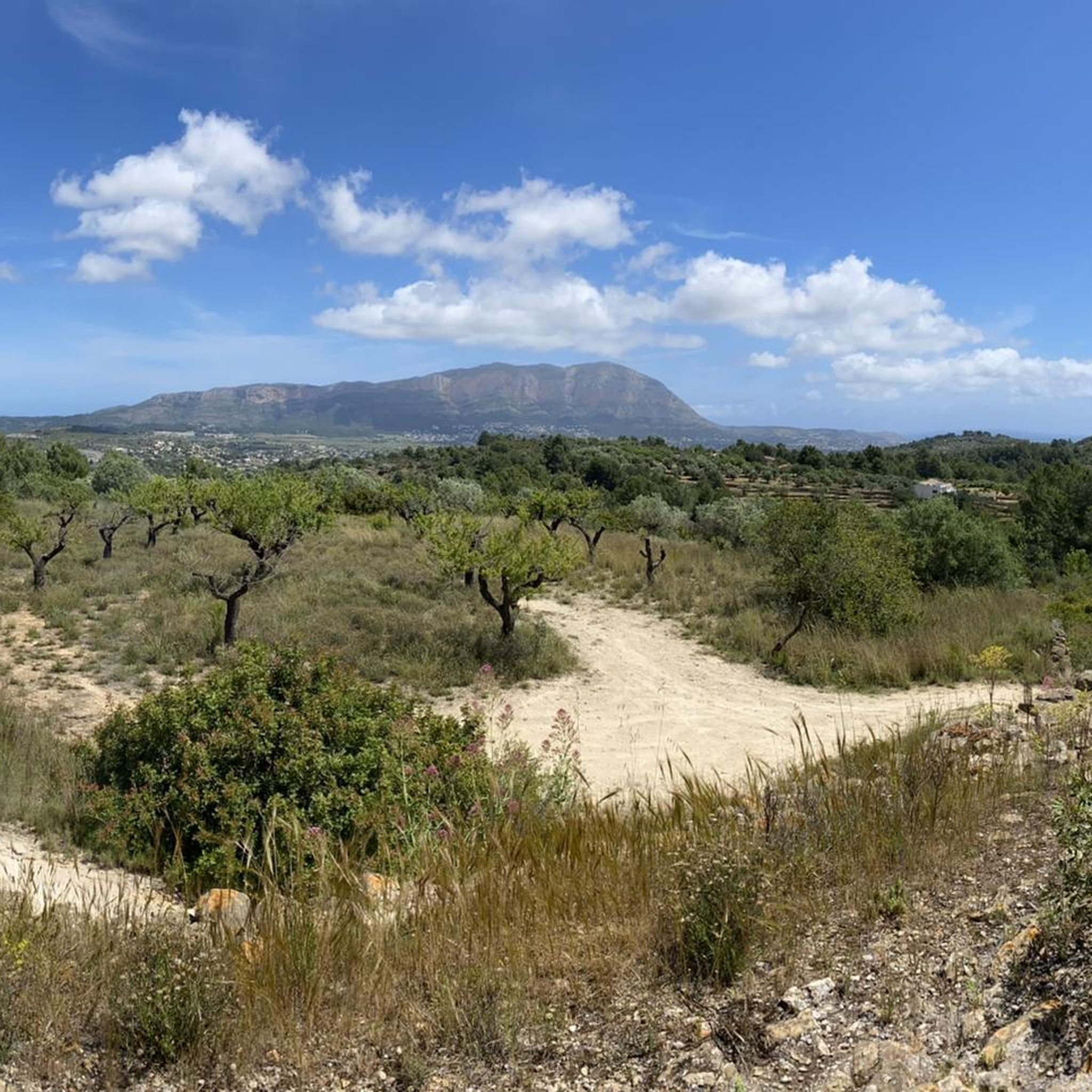
Hiking around Gata De Gorgos offers diverse landscapes within the Alicante province, characterized by the Montgó Massif and the fertile Gorgos River Valley. The region features extensive nature trails that traverse forests, cliffs, and varied rock formations. Surrounding mountains and agricultural terraces provide varied terrain, from gentle river paths to more challenging ascents. This area serves as a base for exploring natural beauty and a network of trails.
Best hiking trails around Gata De Gorgos
- The most popular hiking route…
Last updated: August 18, 2026
4.8
(12)
67
hikers
13.5km
04:33
400m
400m
Hard hike. Good fitness required. Sure-footedness, sturdy shoes and alpine experience required.
4.0
(1)
1
hikers
16.3km
04:42
330m
320m
Moderate hike. Good fitness required. Mostly accessible paths. Sure-footedness required.

Sign up for free
4.7
(15)
63
hikers
Moderate hike. Good fitness required. Mostly accessible paths. Sure-footedness required.
3.9
(9)
25
hikers
Hard hike. Good fitness required. Sure-footedness, sturdy shoes and alpine experience required.
4.0
(5)
16
hikers
5.44km
01:38
130m
130m
Moderate hike. Great for any fitness level. Mostly accessible paths. Sure-footedness required.
Get access to more routes and recommendations from other explorers.
Sign up for free
Already have an account?
Our route recommendations are based on thousands of hikes, rides, and runs completed by other people on komoot.
Start today with a free account
Your next adventure awaits.
Login or Signup
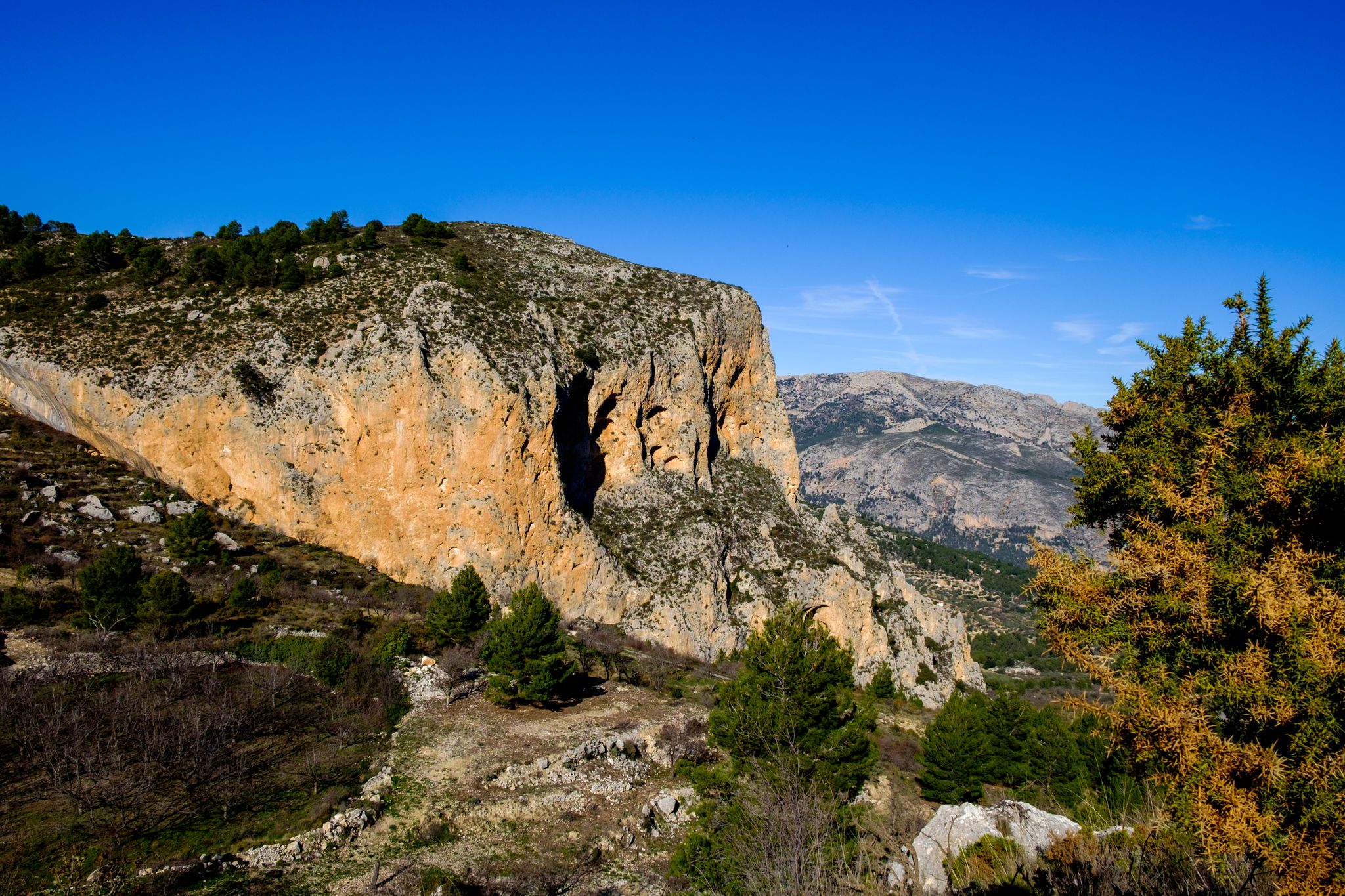
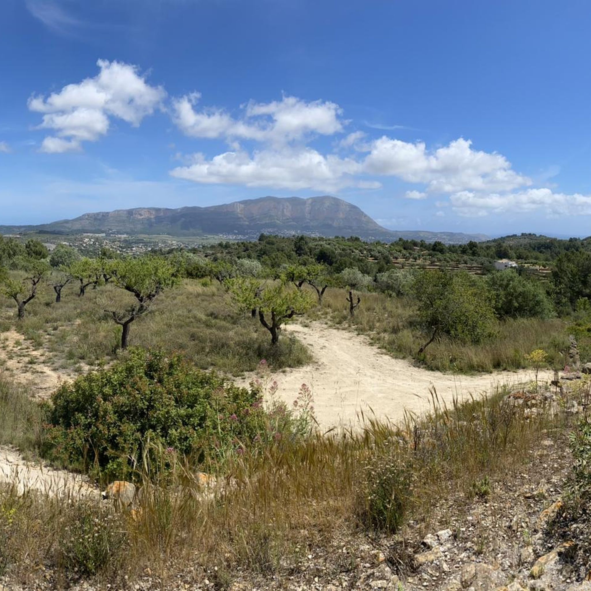
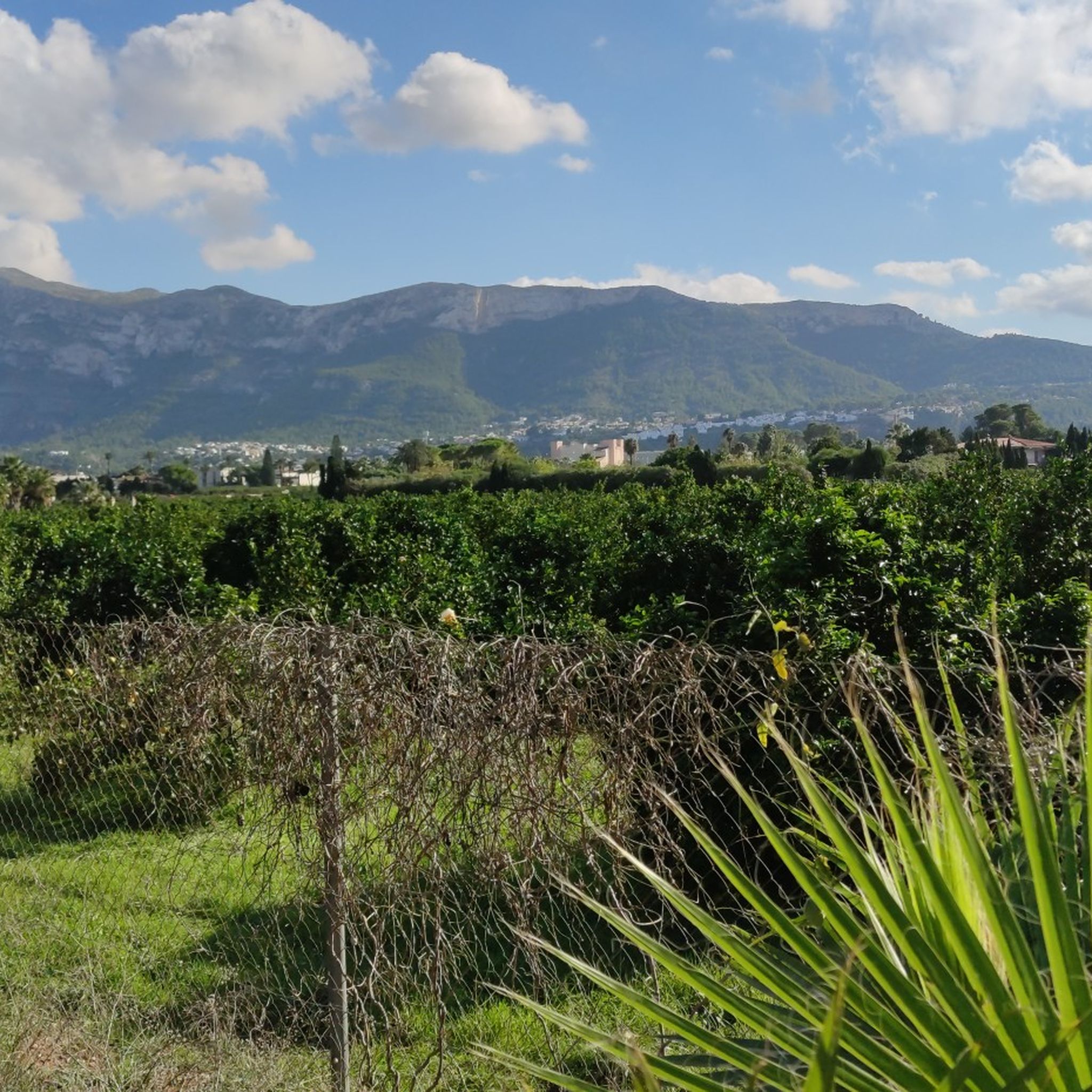
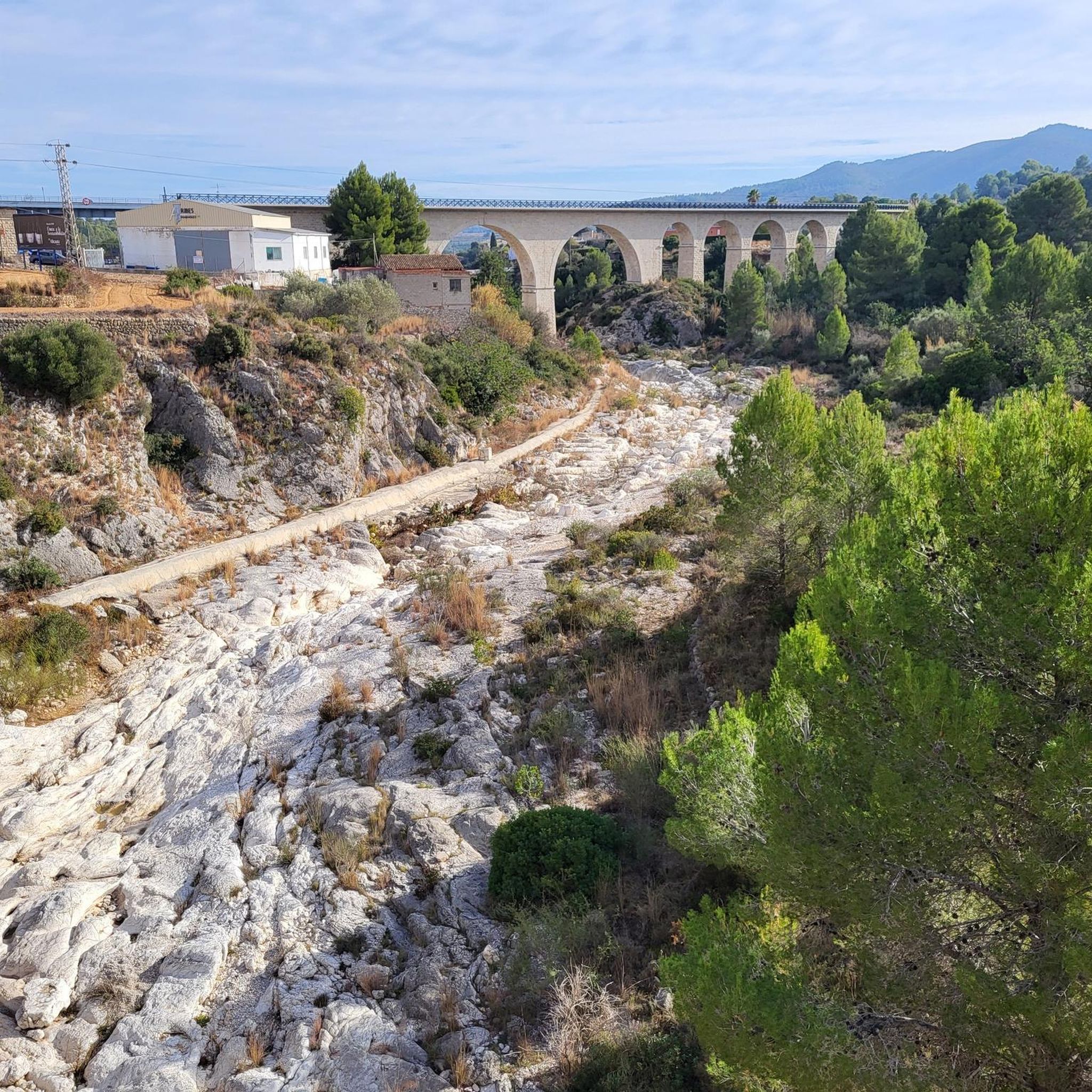


Other adventures around Gata De Gorgos

Tips from the Community

Short length of trail with significant (but safe???) exposure. Not for the very faint hearted but otherwise OK. Links Font d'Aixa to Castell d'Aixa peak via Coll del Trencall. You need to crouch slightly to get through the narrow route. One of my local special places to pause have a cup of coffee from a flask and think how lucky we are to have such fantastic locations.
1
0

The current church is not the first to be built in Llíber. In the 16th century there was a first church to convert the mosque. The church as we know it today was built in 1859 and completed in 1875. It is neoclassical, rectangular with a single nave of three sections and side chapels. The church has a typically Mediterranean façade with mixed and curvilinear shapes. Above the modest built-in door there is a window with a semicircular arch that illuminates the interior of the church. The bell tower, set back from the façade, is made of carved stones and has four sections separated by moldings. Only the upper section has semicircular openings, three of which house the bells. The oldest bell dates from 1947 and comes from the traditional rose workshop, the other two are from 2013. The hexagonal bell tower is crowned with four pointed spherical finials (roof decorations).
2
0

A beautiful area for climbing enthusiasts. Already equipped with safety ropes in some places.
0
0
Small pond with water even in very dry times
0
0
A wide view over the fields to the hills of Bernia
0
0

Nice starting point where your car can be parked in the shade.
0
0

This could be difficult to cross in very wet weather
0
1
As you get up from the thick woods you get a great view back towards the Montgo
0
1
Frequently Asked Questions
How many hiking trails are available around Gata de Gorgos?
Gata de Gorgos offers a wide selection of routes, with over 50 hiking trails to explore. These range from easy walks to more challenging ascents, catering to various fitness levels.
What kind of terrain can I expect on hikes in Gata de Gorgos?
The terrain around Gata de Gorgos is quite varied, characterized by the Montgó Massif with its forests, caves, and rock formations, as well as the fertile Gorgos River Valley. You'll find a mix of paths traversing agricultural terraces, riverbeds, and mountain slopes, offering diverse landscapes.
Are there any easy or family-friendly hiking options in Gata de Gorgos?
Yes, Gata de Gorgos has several easy routes suitable for families or those seeking a gentle walk. For instance, the Gorgos River Crossing – Font de la Mata Stone Well loop from Gata is a moderate 5.5-mile (8.9 km) trail that follows the Gorgos River valley and passes the historic Font de la Mata, offering a pleasant experience for most.
Can I bring my dog on the hiking trails in Gata de Gorgos?
While many trails in the region are dog-friendly, it's always best to check local regulations, especially within protected areas like the Montgó Nature Reserve. Generally, dogs should be kept on a leash to protect wildlife and ensure the safety of other hikers.
Are there any circular hiking routes around Gata de Gorgos?
Yes, many of the trails around Gata de Gorgos are designed as circular routes, allowing you to start and end in the same location. A popular option is the Alt Serrellars (PR-CV 412) — Circular from Gata de Gorgos, which offers varied terrain and panoramic views.
What natural landmarks or points of interest can I see while hiking?
The region is rich in natural beauty. You can explore the dramatic landscapes of the Montgó Massif, including the Montgó Summit, or discover the unique Cova Tallada (Cut Cave). The Gorgos River Valley itself offers picturesque scenery, and you might encounter the reddish Roges Caves with their ancient cave art.
Are there any historical sites to explore on the trails?
Yes, hiking around Gata de Gorgos allows you to discover historical vestiges. You can find old mills like El Tossal de Pedreguer, El Llavador de Rana, and El Tío Romualdo molinetas. The La Rana Nature Area also features the ruins of an old leprosarium and a lovely washhouse, providing interesting historical points along walking routes.
What do other hikers enjoy most about hiking in Gata de Gorgos?
The area is highly rated by the komoot community, with an average score of 4.4 stars from over 600 reviews. Hikers often praise the diverse landscapes, the mix of natural and historical features, and the variety of trails suitable for different ability levels.
What is the best time of year to go hiking in Gata de Gorgos?
Gata de Gorgos offers pleasant hiking conditions for much of the year. Spring and autumn generally provide mild temperatures, ideal for longer excursions. Winter can also be a good time for hiking, with cooler weather and clear skies, while summer might be best for early morning or late afternoon walks to avoid the midday heat.
Are there any challenging hikes for experienced trekkers?
Absolutely. For experienced trekkers, the region offers several challenging routes. The Montgó Massif provides opportunities for more demanding climbs. An example of a more difficult trail is the Alt Serrellars (PR-CV 412) — Circular from Gata de Gorgos, which features significant elevation gain and varied terrain.
Are there good viewpoints along the hiking trails?
Yes, many trails offer stunning panoramic views. The Montgó Massif is renowned for its vistas, and the Roges Caves area also provides extraordinarily beautiful panoramic views. The Coll de Rates pass, a popular hiking destination, offers breathtaking views across the coastline and, on clear days, even a glimpse of Ibiza.
Is parking available at the trailheads in Gata de Gorgos?
Gata de Gorgos is a town that serves as a base for exploring the region. While specific trailhead parking details vary, you can generally find parking within or on the outskirts of the town, providing access to the extensive network of trails. It's advisable to check local signage for designated parking areas.
Most popular routes around Gata De Gorgos
Most popular attractions around Gata De Gorgos

Get inspired with the komoot mobile app


Explore more
Browse the best Hikes in other regions.
