The best road cycling routes around Nerva
140
riders
15
rides
Road cycling routes around Nerva, located in the province of Huelva, Spain, traverse a landscape characterized by significant elevation changes and historical mining areas. The terrain features numerous hills and valleys, providing challenging climbs and descents for road cyclists. This region offers a network of roads that wind through both natural and industrial heritage sites, with routes often featuring substantial elevation gain. The area's geology contributes to varied road surfaces and scenic vistas.
Best road cycling routes around Nerva
- The…
Last updated: May 11, 2026
22
riders
87.0km
04:31
1,540m
1,540m
Hard road ride. Very good fitness required. Some segments of this route may be unpaved and difficult to ride.
6
riders
58.5km
03:15
1,140m
1,140m
Hard road ride. Very good fitness required. Some segments of this route may be unpaved and difficult to ride.

Sign up for free
6
riders
53.5km
03:04
950m
950m
Hard road ride. Very good fitness required. Some segments of this route may be unpaved and difficult to ride.
5
riders
69.0km
03:35
1,250m
1,250m
Hard road ride. Very good fitness required. Some segments of this route may be unpaved and difficult to ride.
49
riders
101km
05:17
1,620m
1,620m
Hard road ride. Very good fitness required. Some segments of this route may be unpaved and difficult to ride.
Get access to more routes and recommendations from other explorers.
Sign up for free
Already have an account?
Our route recommendations are based on thousands of hikes, rides, and runs completed by other people on komoot.
Start today with a free account
Your next adventure awaits.
Login or Signup
Tips from the Community


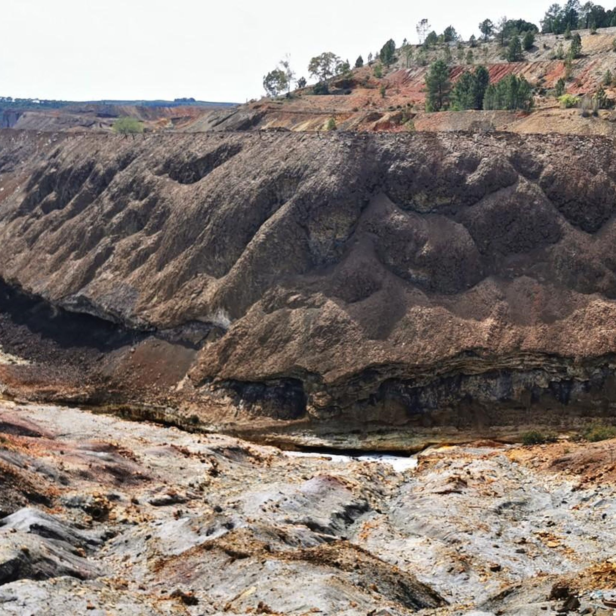
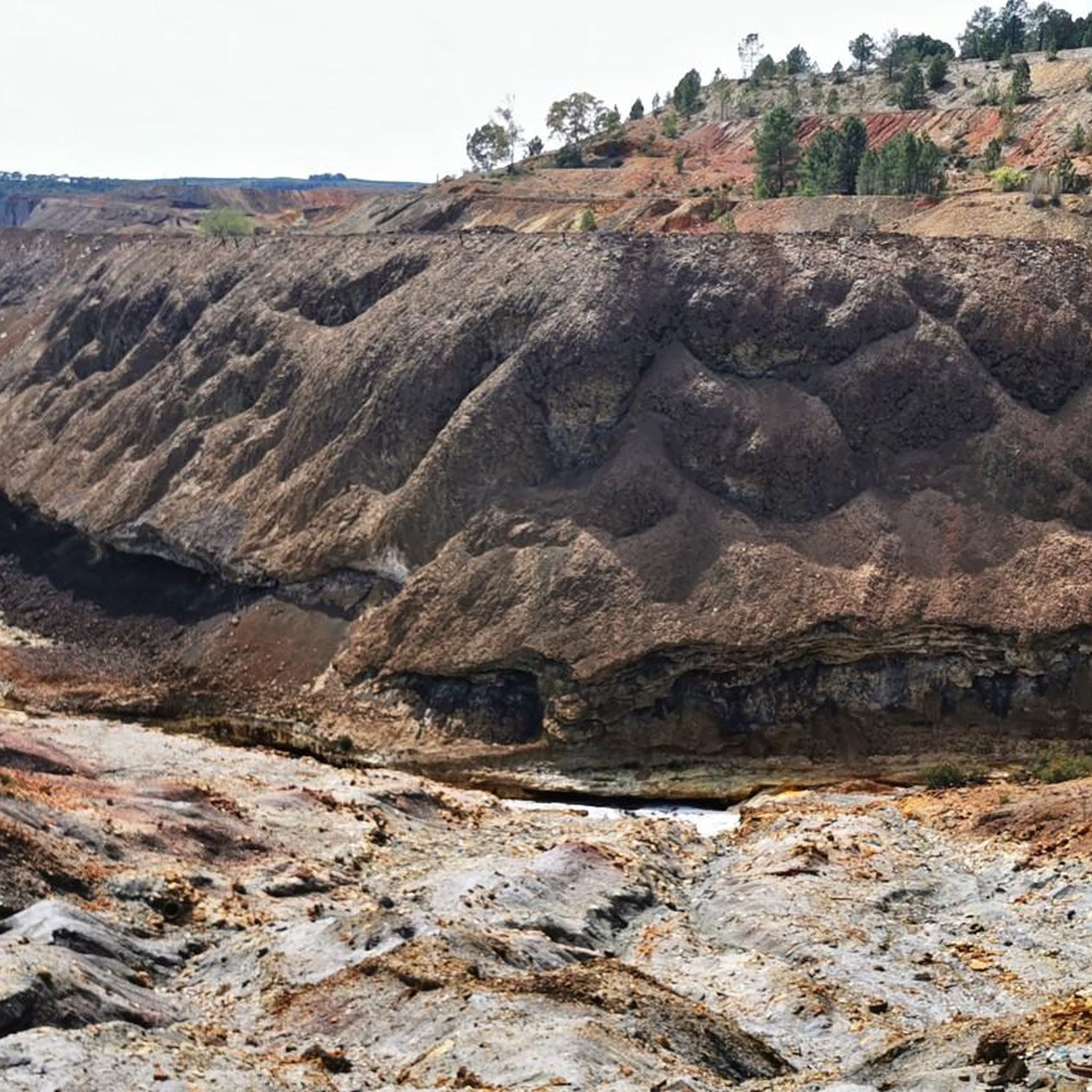
Obligatory stopping point if you take the road. There are incredible views even of the Rio Tinto mining railway.
0
0

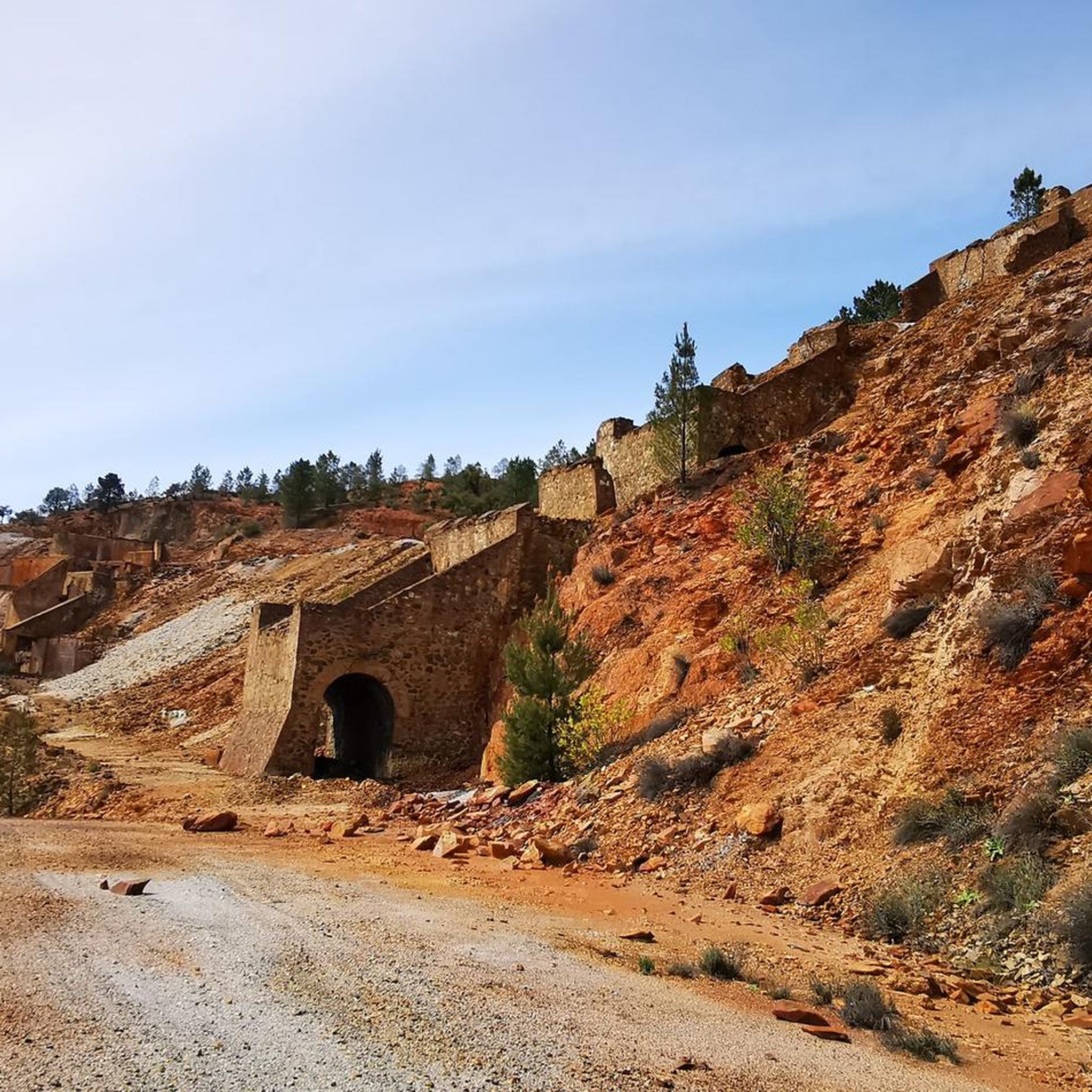
Old station that is located a few kilometers from the town of Nerva and that was used to transport the materials extracted from the mine.
1
0
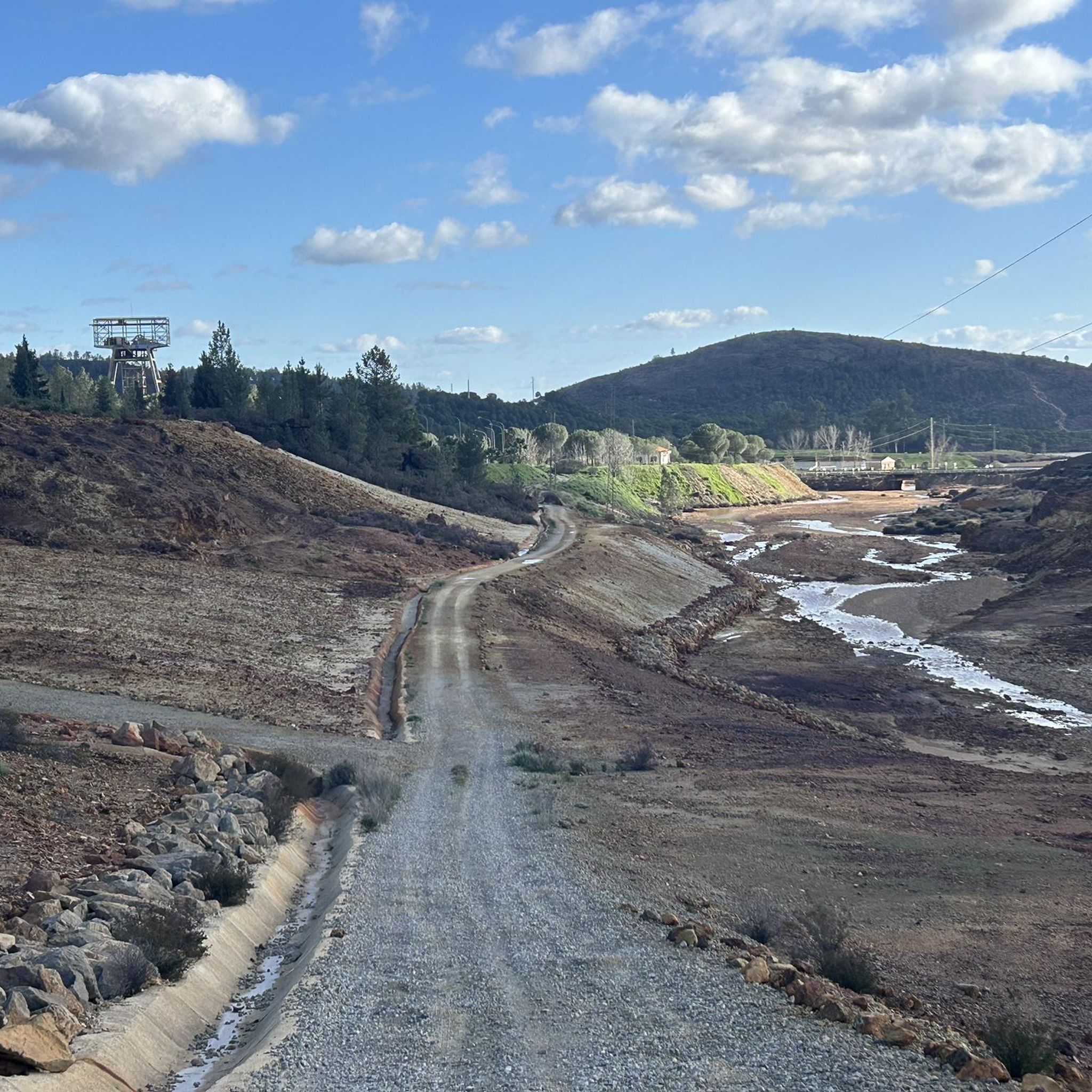
Road that passes through where there are the train tracks that brought the materials that came out of the mines to the town of Nerva. These tracks are currently still used by the tourist train that runs there, but the path allows you to see them perfectly as well as the river that is nearby.
2
0
Section of river that is crossed by the road but from where you can see the water passage before entering again towards the mountains near El Madroño.
1
0
This beautiful town is located between Alájar and Aracena, in the center of the Sierra de Aracena y Picos de Aroche Natural Park, one of the most important protected areas in the Community. Its cobbled streets, the Parish Church of San Juan Bautista, the public laundry and its crowded houses stand out.
0
0
A museum dedicated to mining activity in the area and its history. It has an important museographic collection that ranges from archaeological pieces to mining extraction machinery and railway locomotives. The Museum building is the former mining hospital of the Rio Tinto Company Limited.
1
0

The municipality known above all for its pyrite mines (exploited since ancient times by the Romans) temporarily closed after one of the biggest environmental disasters in Europe - when in 1998 the Aznalcóllar mining dam burst and caused a polluting spill in this area.
2
0
Frequently Asked Questions
What kind of terrain can I expect when road cycling around Nerva?
Road cycling around Nerva is characterized by significant elevation changes, offering challenging climbs and descents. The routes traverse a landscape of rolling hills and valleys, often featuring substantial elevation gain. You'll encounter varied road surfaces as you explore both natural and historical mining areas.
Are there road cycling routes suitable for beginners in Nerva?
The road cycling routes around Nerva are generally geared towards moderate to difficult ability levels due to the hilly terrain and elevation changes. There are no easy routes listed in the area, with 3 routes rated moderate and 12 rated difficult.
What are some notable natural features or landmarks I can see while cycling in Nerva?
The Nerva region is rich in natural and industrial heritage. Along your rides, you might encounter significant sites such as the Source of the Río Tinto, the impressive Corta Atalaya Mine, or the geological formation of Peña del Hierro. The Gossán Reservoir also offers scenic views.
Are there any circular road cycling routes in Nerva?
Yes, there are circular road cycling routes available. For example, you can explore the Nerva, Minas de Riotinto, Zalamea La Real – circular route, which covers approximately 53.5 km with significant elevation.
What is a challenging road cycling route in the Nerva area?
For a challenging experience, consider the Old Zarandas-Naya Station – Riotinto Mines loop from Zarandas-Naya. This difficult route spans about 97.3 km and involves over 1500 meters of elevation gain, taking around 5 hours to complete.
Can I find routes that combine cycling with historical exploration in Nerva?
Absolutely. Many routes in Nerva wind through historical mining landscapes. The Old Zarandas-Naya Station – Riotinto Mining Museum loop from Zarandas-Naya is a prime example, offering sustained climbing and views of the mining museum area over a distance of nearly 96 km.
What are the typical durations for road cycling routes around Nerva?
The durations for road cycling routes in Nerva vary depending on the distance and elevation. For instance, the Nerva, El Madroño, route typically takes about 3 hours and 14 minutes for its 58.5 km, while longer, more difficult routes can take over 5 hours.
Are there any viewpoints along the road cycling routes in Nerva?
Yes, the hilly terrain of Nerva offers several scenic viewpoints. The El Berrocal Viewpoint – El Madroño loop from Nerva is a route that specifically highlights a viewpoint, providing panoramic vistas of the surrounding landscape.
What kind of attractions can I visit near the cycling routes in Nerva?
Beyond the natural beauty, you can visit man-made attractions that reflect the region's history. The Touristic Railway for Rio Tinto Mines offers a unique historical experience, and the Cachán Bridge is another point of interest.
How many road cycling routes are available in the Nerva area?
There are 15 road cycling routes documented around Nerva, offering a variety of options for cyclists looking to explore the region's unique landscape.
What makes road cycling in Nerva unique?
Road cycling in Nerva is unique due to its combination of challenging, hilly terrain and its rich industrial heritage. Cyclists can experience significant elevation changes while passing through historical mining landscapes and natural features, offering a distinct blend of physical challenge and cultural exploration.
Most popular attractions around Nerva

Get inspired with the komoot mobile app


Explore more
Browse the best Road cycling routes in other regions.
