The best running trails around Villagalijo
5.0
(1)
277
runners
35
runs
Jogging around Villagalijo offers routes through mountainous terrain with significant elevation changes. The region is characterized by its peaks, such as Pico San Millán and Trigaza Peak, providing challenging ascents and panoramic views. Many routes traverse natural landscapes, connecting villages and high-altitude refuges. This environment is well-suited for runners seeking demanding trails with varied gradients.
Best jogging routes around Villagalijo
- The most popular jogging route is Pico San Millán - Enrique del Ribero Loop, a 9.1 miles (14.6 km)…
Last updated: October 29, 2026
30
runners
14.6km
02:47
1,090m
1,090m
5.0
(1)
26
runners
30.3km
05:02
1,780m
1,780m
Hard run. Very good fitness required. Sure-footedness, sturdy shoes and alpine experience required.

35
runners
24.1km
03:59
1,310m
1,310m
Hard run. Very good fitness required. Sure-footedness, sturdy shoes and alpine experience required.
16
runners
35.9km
05:28
1,720m
1,720m
Hard run. Very good fitness required. Sure-footedness, sturdy shoes and alpine experience required.
15
runners
47.4km
07:42
2,770m
2,770m
Hard run. Very good fitness required. Sure-footedness, sturdy shoes and alpine experience required.
Get access to more routes and recommendations from other explorers.
Already have an account?
Our route recommendations are based on thousands of hikes, rides, and runs completed by other people on komoot.
Start today with a free account
Your next adventure awaits.
Tips from the Community

El Mencilla is the highest summit of the Mencilla mountain range, which in turn is part of the Sierra de la Demanda within the Iberian system. With an altitude of 1932 meters above sea level and a prominence of 532 meters, it gives its name to the homonymous mountain range. It is located in the Sierra de la Demanda natural space and the municipal terms of Pineda de la Sierra and Tinieblas de la Sierra converge here, part of the Sierra de la Demanda region, in the province of Burgos.
0
0

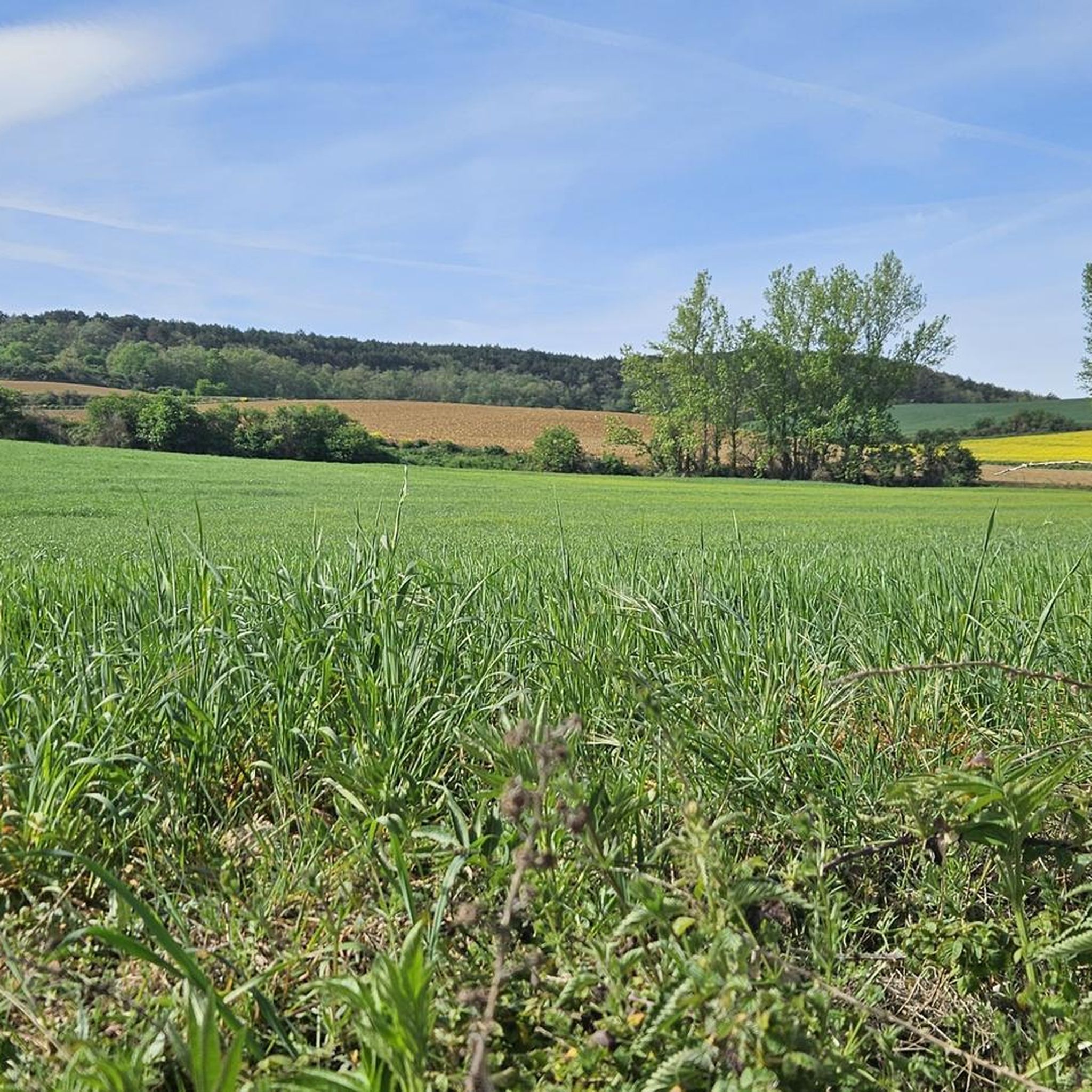
a highly recommended area for hiking.
0
0
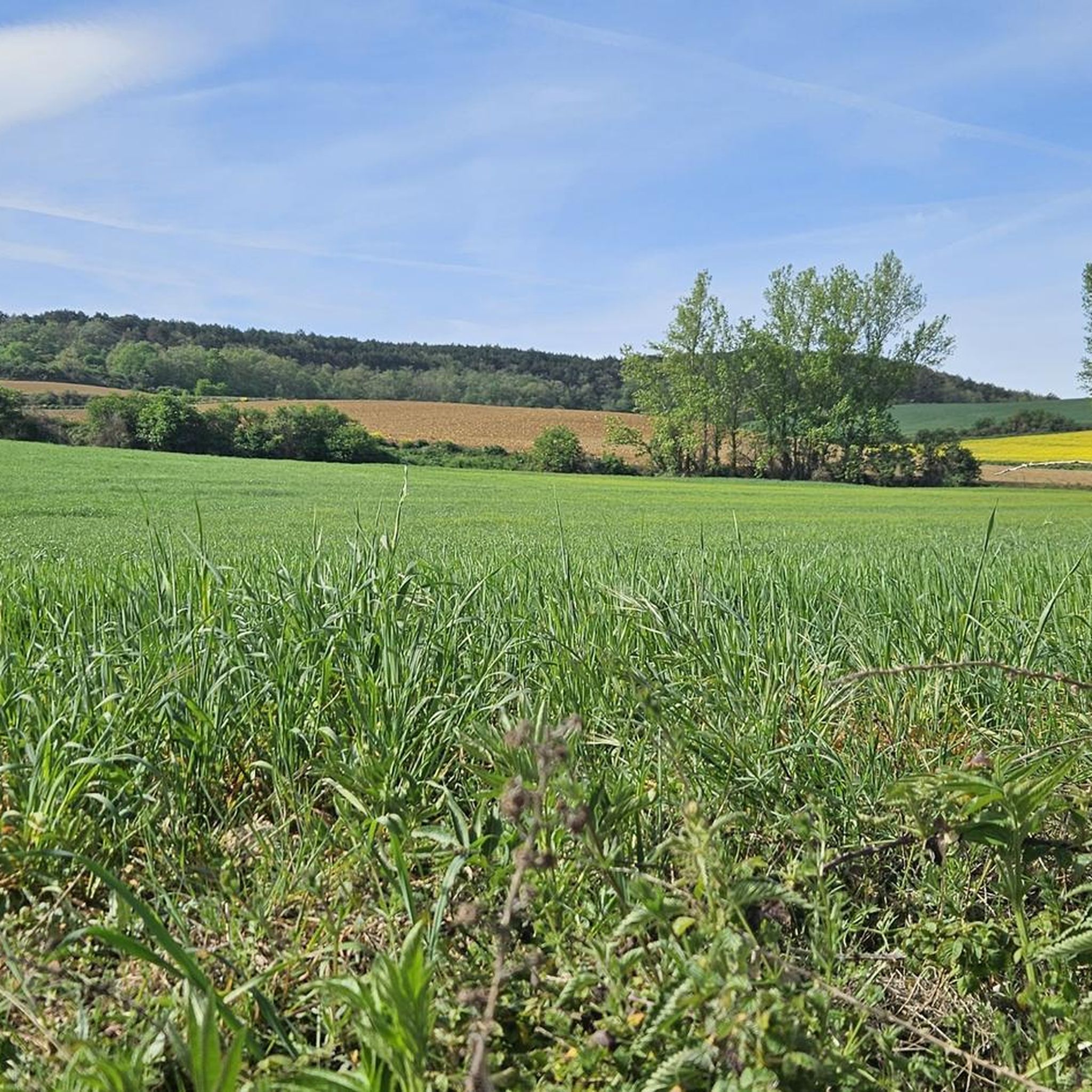
a highly recommended area for hiking.
0
0
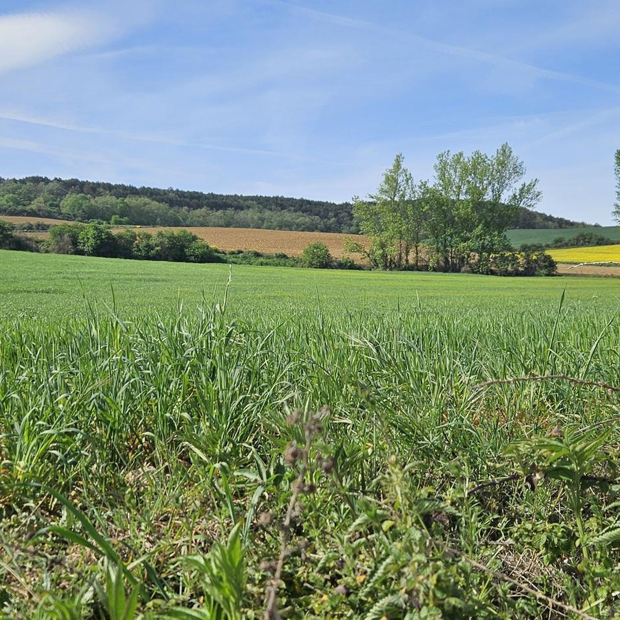
a highly recommended area for hiking.
0
1
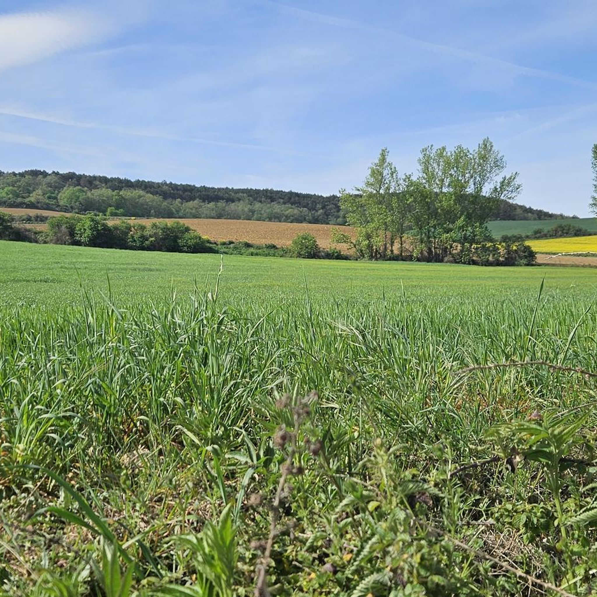
Nice area for hiking and mountain biking trails in La Demanda
0
0
Nice area for hiking and mountain biking trails
0
0

The path leaves El Portillo on the east side, goes up a few meters along a channel and enters the north side. If the mountain has snow, this section is dangerous because the cold and shady conditions keep the path icy and the fall is fatal; crampons and ice axes would be essential. The alternative is to climb directly along the channel on the east face, with less slope, sunnier and direct to the summit of San Millán (2,131 m), also called El Torruco. At the top there is a small circular stone tower adorned with a metal house and other festival motifs left by mountaineers. The southern slope of the mountain is a large mass of gentle slopes with no remains of glacial activity towards the valley of the Arlanzón River. The descent continues along the west face, enjoying extraordinary views of the Urbión River valley and the glacial cirque where the San Millán lagoon appears half frozen.
0
0

From the top of Pico Mencilla, you can see Pico Trigaza and San Millan
2
0
Frequently Asked Questions
How many running routes are available around Villagalijo?
There are over 20 dedicated running routes around Villagalijo, offering a variety of experiences for those seeking challenging mountain trails.
What is the general difficulty level of jogging routes in Villagalijo?
The jogging routes in Villagalijo are primarily designed for experienced runners, featuring mountainous terrain with significant elevation changes. Most routes are classified as difficult, with a few moderate options available.
Are there any circular running routes in Villagalijo?
Yes, many routes in Villagalijo are circular. For example, the challenging San Millán loop from Pradoluengo offers a substantial mountain experience, and the Zarcia Refuge – Trigaza Peak loop from Refugio de Zárcia is another excellent circular option with impressive elevation.
What kind of natural features or landmarks can I expect to see along the running trails?
Runners in Villagalijo can expect to encounter stunning mountainous landscapes, including prominent peaks like San Millán (2,131 m) and Cruz De Guirnaldo. You might also discover natural monuments and viewpoints such as View of San Lorenzo from Masoga, and even the beautiful Altuzarra Waterfalls.
What do other runners say about the trails in Villagalijo?
The running routes in Villagalijo are highly regarded by the komoot community, holding an average score of 5.0 stars. Runners often praise the challenging ascents, panoramic views, and the opportunity to explore high mountain landscapes and connect between villages and refuges.
Are there any running routes that pass through villages or towards mountain shelters?
Absolutely. The region's routes often connect villages and high-altitude refuges. A notable example is the demanding Pradoluengo Village – La Pasada Shelter loop from Pradoluengo, which includes significant climbs and passes through both village areas and towards mountain shelters.
What is the best time of year for running in Villagalijo?
Given the mountainous terrain and significant elevation, the best time for running in Villagalijo is typically during the warmer months, from late spring to early autumn, when trails are less likely to be affected by snow or ice and weather conditions are more stable for high-altitude activities.
Are there any easy or beginner-friendly jogging routes in Villagalijo?
The routes around Villagalijo are predominantly challenging, characterized by mountainous peaks and demanding ascents. There are no routes classified as 'easy' in this guide, with the majority being 'difficult' and a few 'moderate' options. Beginners might find these trails very strenuous.
Can I find routes that offer panoramic views?
Yes, the mountainous nature of Villagalijo ensures many routes offer spectacular panoramic views. Trails leading to peaks like San Millán (2,131 m) or Cruz De Guirnaldo are particularly known for their expansive vistas.
Are there any specific points of interest or recreation areas along the trails?
Beyond the peaks, you might find points of interest such as the Zarcia Recreation Area, which can serve as a good spot for a break or to start a route. The trails themselves offer continuous natural beauty and challenging terrain.
What kind of terrain should I expect on the running trails?
Expect varied and rugged terrain, typical of mountainous regions. Trails will include steep ascents and descents, rocky paths, and natural surfaces. Runners should be prepared for challenging gradients and uneven footing.
Most popular attractions around Villagalijo

Get inspired with the komoot mobile app


Explore more
Browse the best Running Trails & Routes in other regions.
