The best road cycling routes around Villafranca Montes De Oca
4.6
(10)
576
riders
22
rides
Road cycling routes around Villafranca Montes de Oca traverse a landscape characterized by rolling hills, extensive oak and pine forests, and the Montes de Oca mountain range. The region's terrain offers mostly paved surfaces suitable for road cyclists. Situated on the French Way of the Camino de Santiago, the area combines natural features with historical significance. Cyclists can expect varied elevation profiles, including ascents like Alto de la Pedraja.
Best road cycling routes around Villafranca Montes de Oca
- The most…
Last updated: October 29, 2026
4.0
(1)
17
riders
66.1km
03:02
800m
800m
5.0
(1)
90
riders
82.4km
04:34
1,740m
1,740m
Hard road ride. Very good fitness required. Mostly well-paved surfaces and easy to ride.

4.0
(3)
56
riders
73.6km
03:51
1,300m
1,300m
Hard road ride. Very good fitness required. Mostly well-paved surfaces and easy to ride.
50
riders
122km
05:28
980m
980m
Hard road ride. Very good fitness required. Some segments of this route may be unpaved and difficult to ride.
28
riders
43.6km
02:05
480m
480m
Moderate road ride. Good fitness required. Some segments of this route may be unpaved and difficult to ride.
Get access to more routes and recommendations from other explorers.
Already have an account?
Our route recommendations are based on thousands of hikes, rides, and runs completed by other people on komoot.
Start today with a free account
Your next adventure awaits.


Tips from the Community

Spectacular area for hiking routes
0
0

Fresneda de la Sierra Tirón is a small town in Burgos, located in the heart of the Sierra de la Demanda, very close to La Rioja. It is an attractive destination for hikers due to its mountainous surroundings and the proximity of places like Pozo Negro, a turquoise glacial lagoon in the shadow of Otero Peak. The town preserves historical remains and traditions, with the Church of the Assumption and hermitages as points of interest. From here, trails depart to peaks such as Otero, Cabeza Aguílez, and Torocuervo, ideal for enjoying panoramic views and beech and oak forests.
1
0

There are many routes, both easy and difficult, to choose from. The Sierra is very beautiful, especially in autumn.
0
0

The perfect stop to replenish your energy after a bike ride (or walking, or skiing...) around Ezcaray
0
0
Romanesque church dating back to the 12th century on the outskirts of Valgañón, a town in the Sierra de la Demanda near Ezcaray. A great stop to get water on the way up to the top of Pradilla.
0
0
A comfortable mountain pass that connects the provinces of Burgos and La Rioja. Both sides have beautiful views, and it is worth climbing both.
0
0

Completely paved in 2024. Perfect road surface.
0
0

With good shade in summer, beautiful in autumn
1
1
Frequently Asked Questions
How many road cycling routes are available around Villafranca Montes De Oca?
There are over 20 road cycling routes around Villafranca Montes De Oca, offering a variety of options for different skill levels. The komoot community has explored these routes over 400 times.
What kind of terrain can I expect on road cycling routes in Villafranca Montes De Oca?
The region is characterized by rolling hills and the Montes de Oca mountain range, with mostly paved surfaces. You'll encounter extensive oak and pine forests, providing scenic and often shaded routes. Expect varied elevation profiles, including significant ascents like Alto de la Pedraja.
Are there challenging climbs for experienced road cyclists?
Yes, the region offers challenging climbs. A notable ascent is Alto de la Pedraja, reaching an elevation of 1150 meters (3,773 feet), which provides spectacular views. Routes like the Alto de Pradilla – Valdezcaray Ski Resort loop from Pradoluengo and the Alarcia – Alto de Pradilla loop from Rábanos are rated as difficult and feature significant elevation gains.
What are some scenic viewpoints or natural features I can discover while cycling?
Cyclists can enjoy spectacular views from ascents like Alto de la Pedraja. The region also features the dramatic Oca Gorge, carved by the Oca River, and extensive oak and pine forests within the Montes de Oca mountain range. You might also encounter highlights like Castilian landscape and Cruz De Guirnaldo.
Are there any routes that pass by historical landmarks or cultural sites?
Many routes in the region are steeped in history, particularly due to its location on the French Way of the Camino de Santiago. You can cycle past sites like the Church of Santiago el Mayor and the Pilgrims' Hospital of San Antonio Abad in Villafranca Montes de Oca. A short detour could also lead to the isolated 12th-century Monastery of San Juan de Ortega.
What is the best time of year for road cycling in Villafranca Montes De Oca?
The region is generally appealing for outdoor activities. While the Montes de Oca Forest offers beautiful stretches, routes can be muddy in rainy conditions. For optimal enjoyment of the paved roads and scenic views, spring and autumn typically offer pleasant temperatures and drier conditions.
Are there any family-friendly road cycling options?
While many routes feature rolling hills and ascents, there are options suitable for various ability levels. Among the 20 available routes, 2 are classified as easy, which could be more suitable for families or those seeking a less strenuous ride. Always check the route's elevation profile and distance before setting out.
What do other road cyclists think about the routes in Villafranca Montes De Oca?
The road cycling routes around Villafranca Montes De Oca are highly rated by the komoot community, with an average score of 4.8 stars from over 6 reviews. Cyclists often praise the varied terrain, from rolling hills to challenging climbs, and the beautiful natural surroundings of the Montes de Oca region.
Can I find routes that include reservoirs or lakes?
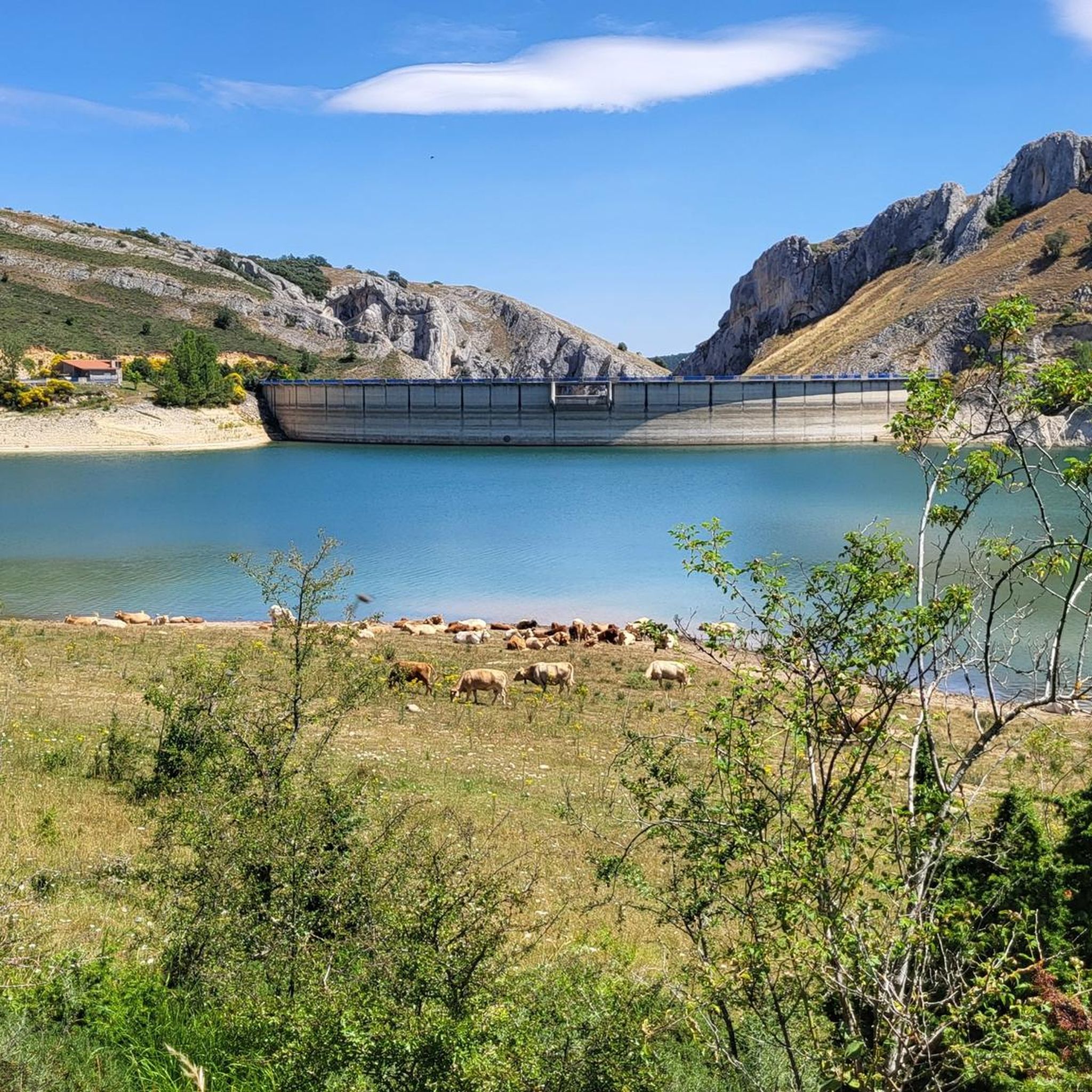
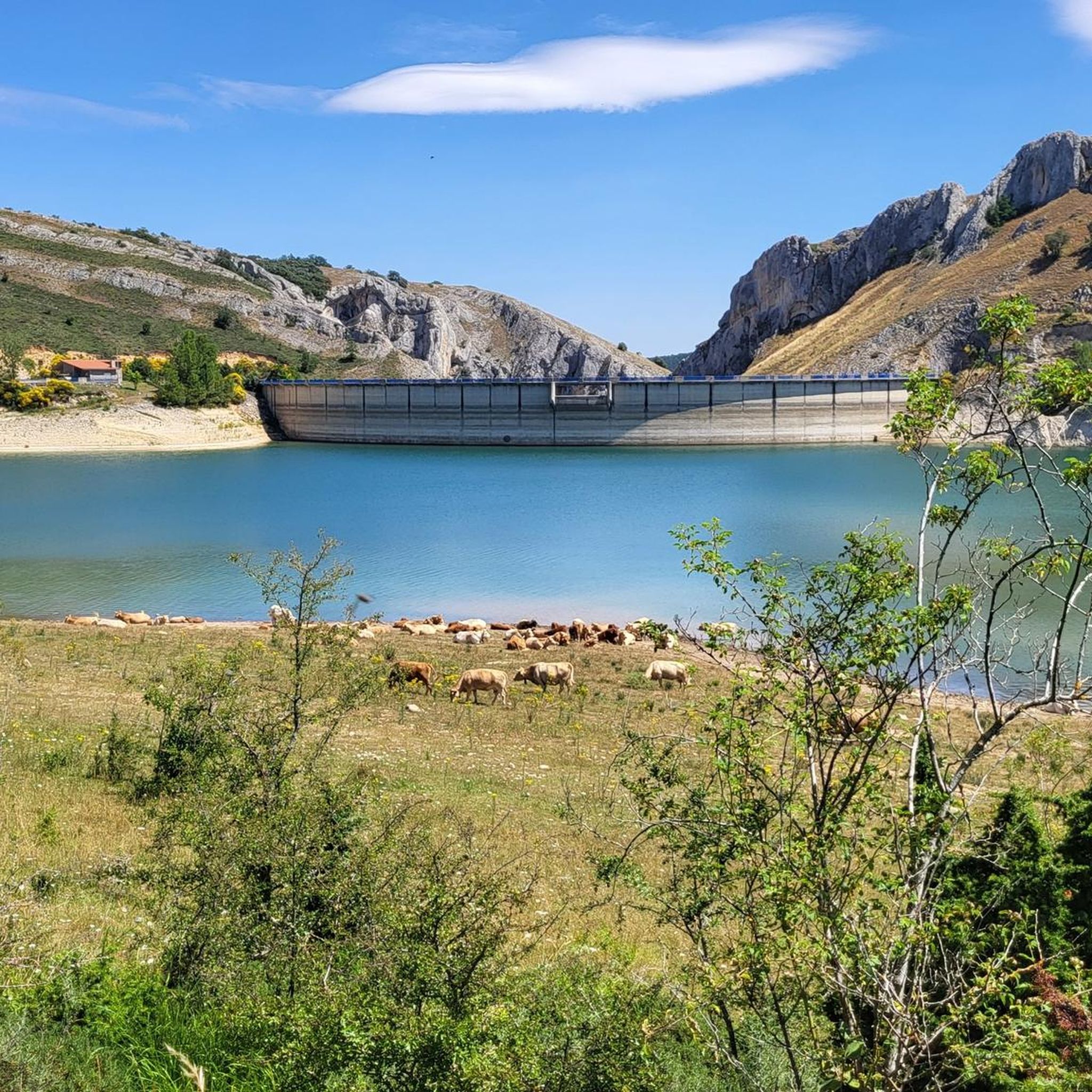
Yes, some routes incorporate natural water features. For instance, the Viewpoint - Úzquiza Reservoir – Alto de Pradilla loop from Villasur de Herreros passes by the Úzquiza Reservoir. You can also find highlights like Beautiful views over the Arlanzón reservoir and EmbalseDeAlba in the wider area.
Are there any long-distance road cycling routes available?
Yes, the region offers several longer routes for endurance cyclists. For example, the Retorto River Valley – Road before Tosantos loop from Tosantos covers approximately 122.4 km (76 miles) and is rated as difficult, providing a significant challenge.
What are the difficulty levels of the road cycling routes?
The routes around Villafranca Montes De Oca cater to various skill levels. Out of 20 routes, 2 are considered easy, 12 are moderate, and 6 are difficult, featuring significant elevation gains and longer distances. This variety ensures options for both casual riders and experienced cyclists seeking a challenge.
Are there any waterfalls accessible by road bike?
While the primary focus for road cycling is paved routes, the region does feature natural attractions like the Altuzarra Waterfalls. Depending on the specific route and road conditions, some waterfalls might be accessible or visible from nearby roads, though direct access might require dismounting and walking.
Most popular routes around Villafranca Montes De Oca
Most popular attractions around Villafranca Montes De Oca

Get inspired with the komoot mobile app


Explore more
Browse the best Road cycling routes in other regions.
