The best walks and hikes around Mambrillas De Lara
4.3
(15)
96
hikers
28
hikes
Hiking around Mambrillas De Lara offers diverse natural landscapes within the Sierra de la Demanda region of Burgos. The terrain is characterized by mountainous relief, with the Sierra de las Mamblas to the south and other isolated elevations. Streams carve small valleys through these zones, contributing to the scenic beauty and varied hiking terrain. The altitudinal range in the municipality spans from 980 meters to 1296 meters.
Best hiking trails around Mambrillas De Lara
- The most popular hiking route is…
Last updated: October 29, 2026
4.3
(3)
18
hikers
14.3km
04:38
640m
640m
Moderate hike. Good fitness required. Mostly walkable paths. Sure-footedness required.
3.0
(1)
8
hikers
17.7km
04:55
330m
330m
Moderate hike. Good fitness required. Mostly walkable paths. Sure-footedness required.

4.0
(1)
2
hikers
20.0km
05:42
450m
450m
Hard hike. Very good fitness required. Mostly walkable paths. Sure-footedness required.
1
hikers
11.9km
03:37
400m
400m
Moderate hike. Good fitness required. Mostly walkable paths. Sure-footedness required.
4.3
(3)
17
hikers
12.4km
03:46
410m
410m
Moderate hike. Good fitness required. Mostly walkable paths. Sure-footedness required.
Get access to more routes and recommendations from other explorers.
Already have an account?
Our route recommendations are based on thousands of hikes, rides, and runs completed by other people on komoot.
Start today with a free account
Your next adventure awaits.

Tips from the Community

This humble rural church stands out for housing an authentic artistic gem inside: an exceptional Romanesque baptismal font from the 12th century.
0
0
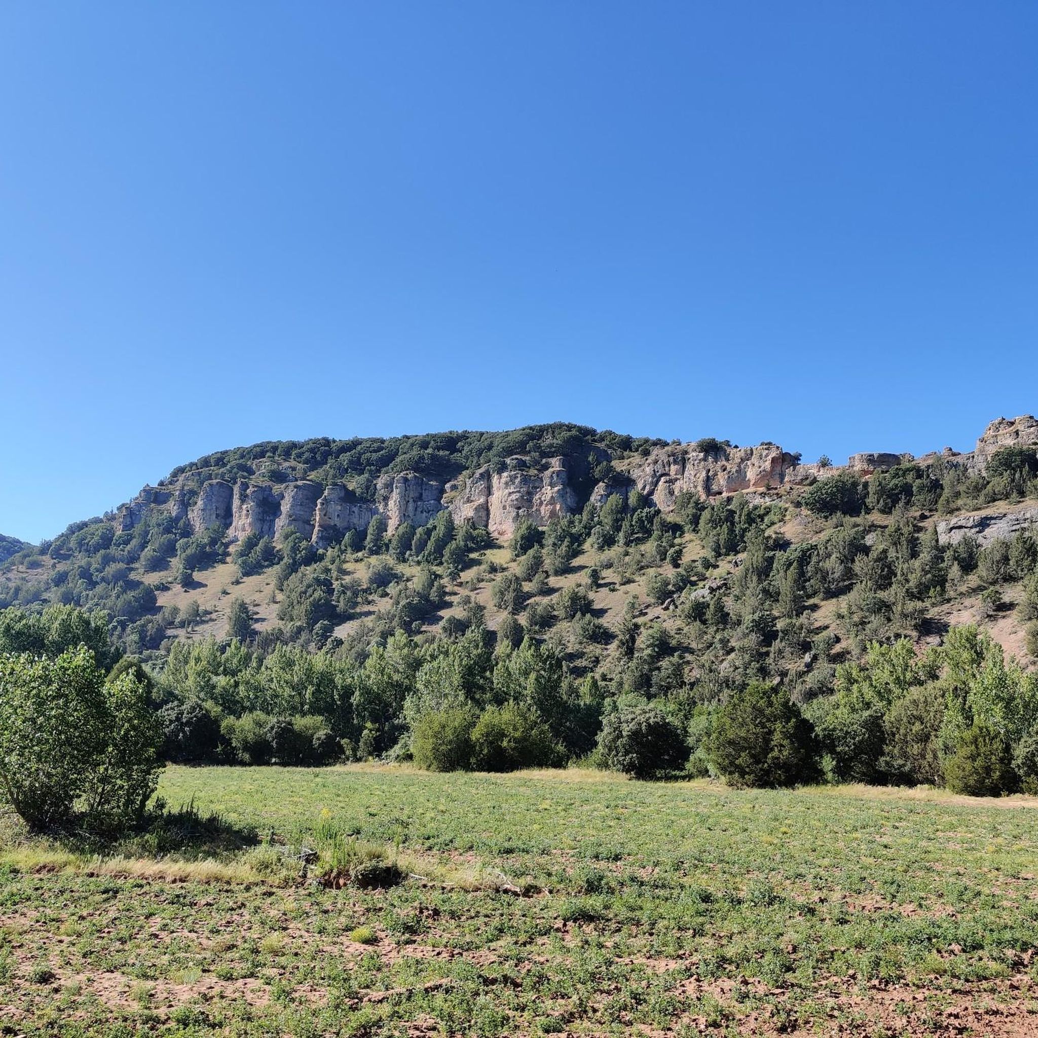
The summit of Peñalara in Burgos (also known as Peña Lara or Sierra de Lara) rises to 1,296 meters in altitude in the heart of the Sierra de la Demanda region, overlooking the historic valley of Tierra de Lara.
0
0
Peñalara is a rocky mountain range and an impressive natural viewpoint of 1,296 meters in altitude, located in the Sierra de Lara (Lara region / Sierra de la Demanda). The hike is worth it to enjoy the views from its summit.
0
0
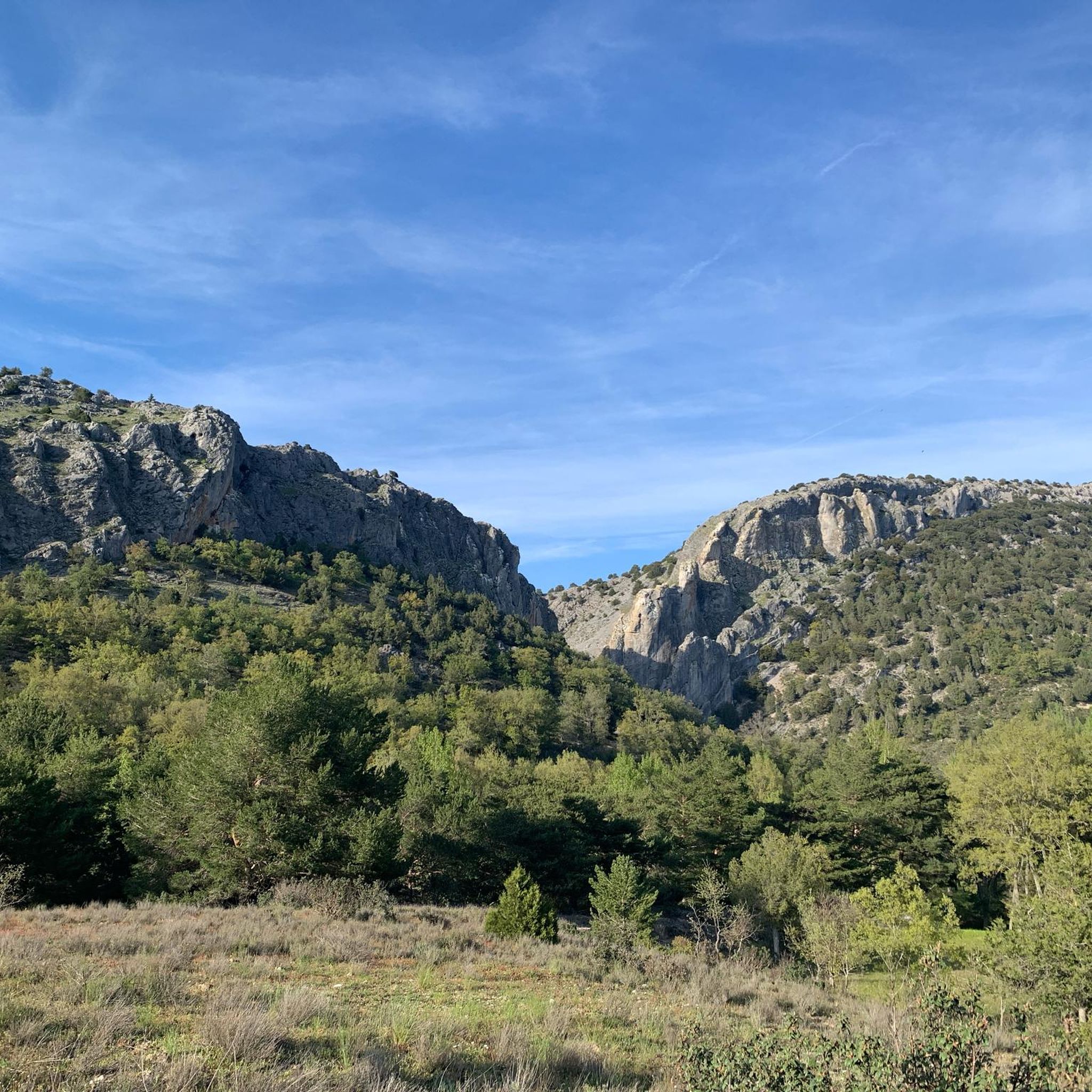
El Castillejo (1,347 m) is a twin peak located in the Sierra de las Mamblas, 5 km north of the town of Covarrubias (Burgos). It owes its name to its natural defensive rock formations. On its summit, an artificial cavity is preserved that served as a strategic watchtower. The mountain offers a spectacular panoramic view of the Arlanza valley and the Sierra de la Demanda. At its foothills lies the Hermitage of Our Lady of Mamblas (Ermita de Nuestra Señora de Mamblas). The terrain features rocky barriers that served as a defensive settlement in antiquity.
0
0
Hermitage located in a spectacular setting, at the foot of the Sierra de las Mamblas. Its origin was an old rural parish whose inhabitants, transferred to Covarrubias, wanted to preserve the temple, which is from the late 16th century.
0
0

The Cubillejo/Mazariegos dolmen is considered the prototype of the megalithic passage tomb and preserves, on one of the large stone blocks that form its structure, a series of interesting rock carvings.
0
0
Ideal places for mountain biking and hiking routes
0
0
Frequently Asked Questions
How many hiking trails can I find around Mambrillas de Lara?
There are over 20 hiking routes available around Mambrillas de Lara, offering a variety of experiences. These include 4 easy trails, 17 moderate routes, and 2 more challenging options.
What kind of terrain can I expect when hiking in Mambrillas de Lara?
The terrain around Mambrillas de Lara is predominantly mountainous, characterized by the Sierra de las Mamblas to the south and other isolated elevations. You'll encounter ancient juniper forests, diverse dehesa woodlands, and small valleys carved by streams. The altitude ranges from 980 meters to 1296 meters.
Are there easy hiking trails suitable for beginners or casual walkers?
Yes, there are 4 easy hiking trails around Mambrillas de Lara. While specific easy routes aren't detailed, the region offers options for various ability levels, including less strenuous paths through woodlands and valleys.
Can I find circular hiking routes in the Mambrillas de Lara area?
Yes, several circular routes are available. For example, the Sierra de las Mamblas — circular desde Covarrubias is a moderate 14.3 km loop. Another option is the Hortigüela, Enraizados Forest and San Cristóbal Loop, which is 11.9 km.
Are there any family-friendly hiking options around Mambrillas de Lara?
While specific 'family-friendly' routes are not explicitly listed, the presence of 4 easy trails suggests suitable options for families. The 'Tierras de Lara' route, a 6 km round trip through a gorge with an ancient juniper forest, is described as a 'paradise for nature lovers' and could be a good choice for families.
Are dogs allowed on the hiking trails in Mambrillas de Lara?
Generally, dogs are welcome on hiking trails in natural areas like Mambrillas de Lara, especially if kept on a leash and waste is properly disposed of. However, always check local regulations or signage for specific restrictions, particularly within protected areas like the Sabinares de Arlanza - La Yecla Natural Park.
What natural features or landmarks can I see while hiking?
Hikers can explore the Sierra de las Mamblas, including Cerro de la Cueva (1278m), and enjoy views of peaks like Peñalara. The Dehesa de Mambrillas de Lara offers unique oak and beech forests. You can also visit the Alto de Peña Alta (1078 m) for panoramic views, or the ancient Dolmen of Cubillejo de Lara.
Are there historical sites or attractions near the hiking trails?
Yes, the region is rich in history. You can find the unique Sad Hill Cemetery, famous from 'The Good, the Bad and the Ugly' film. The Historic Center of Covarrubias with its traditional houses is also nearby. The Quintanilla de las Viñas, Peñalara, and Cubillejo Dolmen Loop passes a historical dolmen.
What is the best time of year to go hiking in Mambrillas de Lara?
The region offers beauty year-round. Spring and autumn are ideal for comfortable temperatures and vibrant landscapes. Summer can be warm but is suitable for early morning or late afternoon hikes. Winter hiking is possible, especially on lower elevation trails, but requires appropriate gear for colder conditions.
Is there parking available for hikers in Mambrillas de Lara?
While specific parking locations are not detailed, Mambrillas de Lara is a municipality with various trailheads. It is generally advisable to look for designated parking areas near the start of popular routes or in the village itself. Always ensure you park responsibly and legally.
What wildlife might I encounter on the trails?
The Sabinares de Arlanza - La Yecla Natural Park, near Mambrillas de Lara, is home to diverse fauna. Hikers might spot griffon vultures, eagles, wolves, and wild boars, particularly in the more secluded areas of the park and surrounding forests.
What do other hikers say about the trails in Mambrillas de Lara?
The trails in Mambrillas de Lara are highly rated by the komoot community, with an average score of 4.4 stars from over 10 reviews. Hikers often praise the varied mountainous terrain, ancient juniper forests, and diverse dehesa woodlands, noting the options for different ability levels.
Are there any viewpoints offering panoramic views?
Yes, the region offers several points with excellent views. The Alto de Peña Alta (1078 m) within the Sabinares de Arlanza - La Yecla Natural Park provides panoramic vistas. Additionally, the Peñas del Tuero Viewpoint is another notable spot for scenic outlooks.
Most popular attractions around Mambrillas De Lara

Get inspired with the komoot mobile app


Explore more
Browse the best Hikes in other regions.
