The best running trails around Villaespasa
45
runners
5
runs
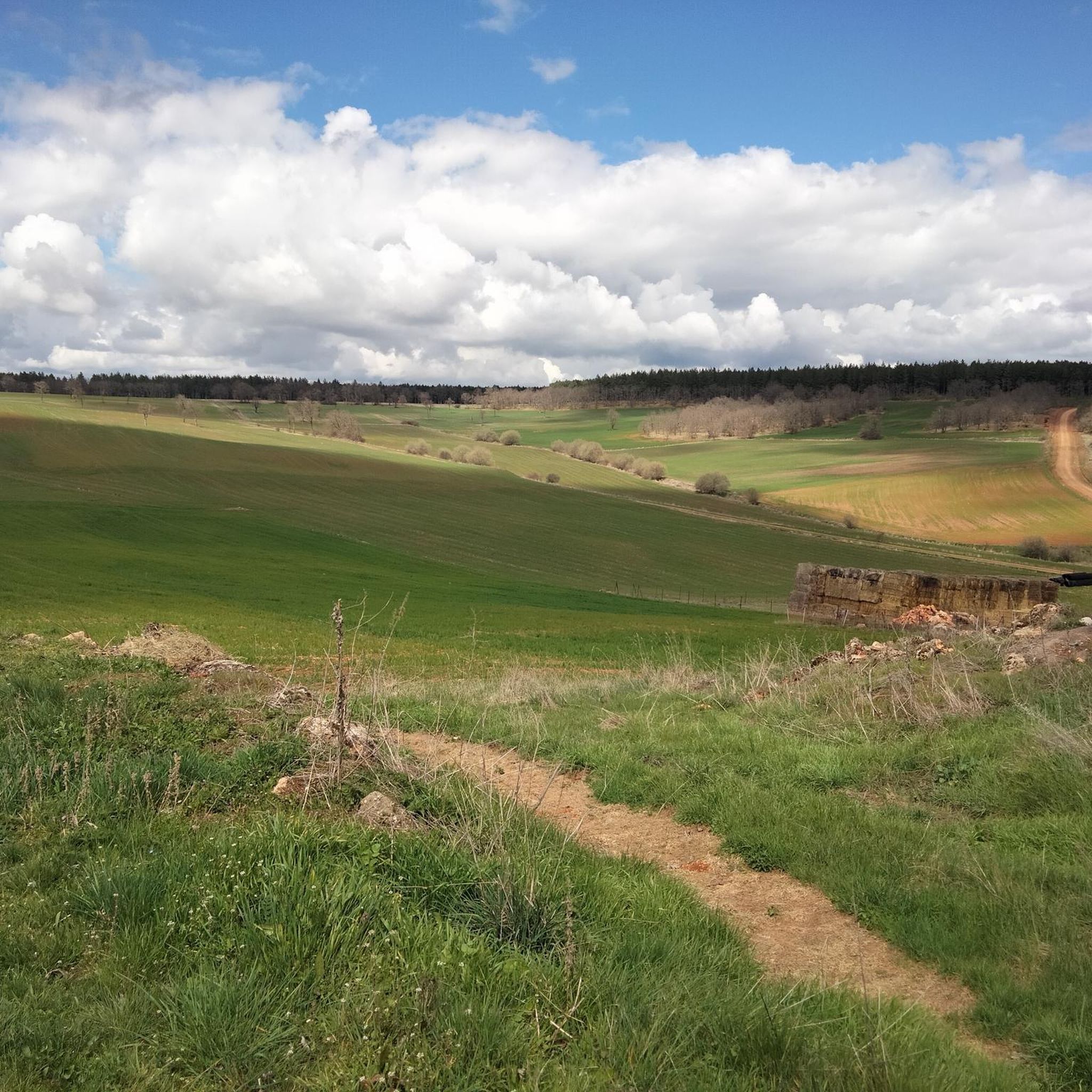
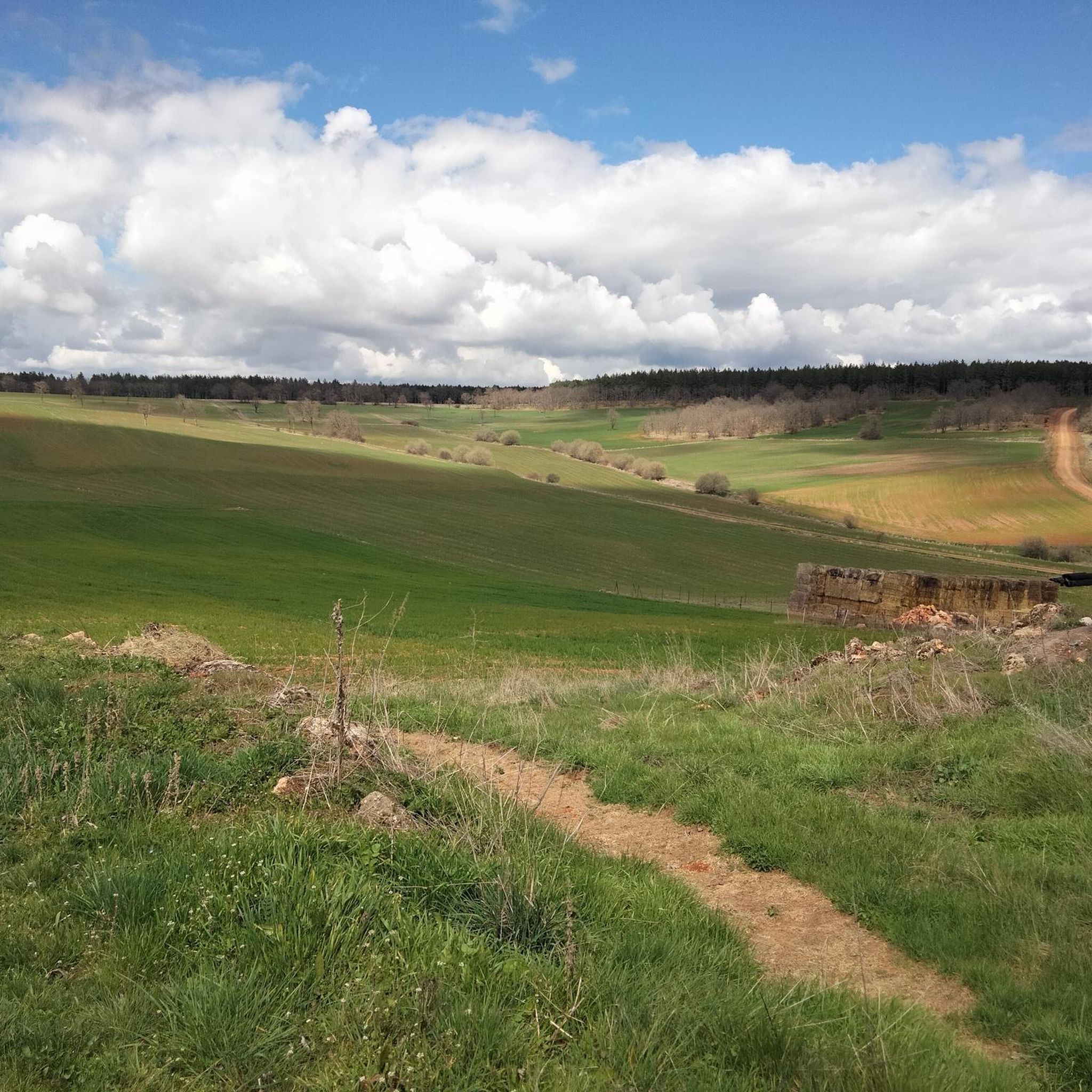
Jogging routes around Villaespasa traverse a diverse landscape within Spain's Sierra de la Demanda mountain range. The region features rolling hills, meandering streams, and extensive oak and beech forests, providing varied terrain for runners. A significant feature is the Vía Verde de la Sierra de la Demanda, a 33.6 miles (54 km) greenway offering a mix of flat sections, descents, and uphill climbs on a compact gravel surface. This area provides a serene environment with opportunities to observe local wildlife…
Last updated: May 16, 2026
Hard run. Very good fitness required. Mostly accessible paths. Some sure footedness required.
25
runners
35.1km
05:27
1,720m
1,720m
Hard run. Very good fitness required. Sure-footedness, sturdy shoes and alpine experience required.

Sign up for free
7
runners
21.1km
02:57
810m
800m
Hard run. Very good fitness required. Mostly paved surfaces. Suitable for all skill levels.
6
runners
32.5km
04:44
1,430m
1,430m
Hard run. Very good fitness required. Mostly paved surfaces. Suitable for all skill levels.
5
runners
Hard run. Very good fitness required. Mostly paved surfaces. Suitable for all skill levels.
Our route recommendations are based on thousands of hikes, rides, and runs completed by other people on komoot.
Start today with a free account
Your next adventure awaits.
Login or Signup


Tips from the Community

Spectacular area for hiking routes
0
0
Spectacular area for hiking routes
0
0

Crossing of the hill path with the path down to Tinieblas de la Sierra.
1
1
a highly recommended area for hiking.
0
1
Ideal places for mountain biking and hiking routes
0
0

There is always the solution to difficult points: doing them by road.
0
0
Frequently Asked Questions
What kind of terrain can I expect on running routes around Villaespasa?
The running routes around Villaespasa, nestled in the Sierra de la Demanda, offer a diverse landscape. You'll encounter rolling hills, meandering streams, and extensive oak and beech forests. A significant feature is the Vía Verde de la Sierra de la Demanda, a 54 km greenway with a compact gravel surface, featuring a mix of flat sections, descents, and uphill climbs.
Are there many options for long-distance running near Villaespasa?
Yes, the region offers several challenging long-distance options. The Vía Verde de la Sierra de la Demanda alone spans 54 km, providing an excellent long-distance path. Additionally, routes like the San Millán loop from Valle del Sol cover over 34 km with significant elevation changes, ideal for endurance runners.
What makes the running experience in Villaespasa unique?
Running in Villaespasa offers a unique blend of natural beauty and tranquility. The region's 'empty Spain' characteristic means less traffic and undisturbed nature, allowing for a peaceful and immersive experience. You can enjoy shaded trails through ancient oak and beech forests, spot local wildlife, and traverse historical paths like the Cañada Real de las Merinas de Semprú.
Are there any circular running routes available near Villaespasa?
Yes, several circular running routes are available. For example, the Camino del Cid from Covarrubias is a 16.3 km circular trail exploring the Sabinares de Arlanza Natural Park. Another option is the Hortigüela – Castillejo loop from Hortigüela, which is a 21.1 km circular route.
What kind of natural landmarks or scenic viewpoints can I find along the running trails?
The region boasts several natural landmarks and scenic viewpoints. You can enjoy panoramic views of the Arlanza Valley from the Peñas del Tuero Viewpoint, or spectacular outlooks over the Sierra del Mencilla and Sierra de Cervera from summits like Castillejo. The Vía Verde also offers views of the Arlanzón reservoir and diverse forest landscapes.
Are there any historical sites or attractions to see while running?
Yes, some routes pass by or near historical sites. The Historic Center of Covarrubias – Casa de Doña Sancha loop, for instance, takes you through the Historic Center of Covarrubias and past Casa de Doña Sancha. You might also encounter the Sad Hill Cemetery, a unique historical site, near some trails.
What is the best time of year for jogging in Villaespasa?
The region offers good running conditions for much of the year. The extensive oak and beech forests provide shaded trails, which are particularly pleasant during warmer months. From October to May, the highest peaks in the Sierra de la Demanda can be snow-covered, offering a different, more challenging winter running experience for those prepared for it.
Can I expect to see any wildlife on the running routes?
Absolutely. The serene environment and dense forests around Villaespasa provide excellent opportunities for wildlife spotting. Along the Vía Verde and other trails, you might encounter birds of prey, squirrels, foxes, and even deer and wild boars in the extensive oak and beech forests.
Are there any running routes that are particularly scenic?
Many routes in the Sierra de la Demanda are scenic due to the diverse natural landscapes. The Camino del Cid from Covarrubias explores the beautiful Sabinares de Arlanza Natural Park. The Morro de Cabeza Rubia – Mogosa loop from Valle del Sol also offers stunning mountain vistas.
What are the typical distances and durations for running routes in this area?
The running routes around Villaespasa tend to be longer and more challenging. You can expect distances ranging from approximately 16 km (10 miles) to over 34 km (21 miles). Durations vary significantly based on the route's length and elevation, typically from around 2 hours for shorter loops to over 5 hours for the most demanding trails.
Are there any routes that offer significant elevation gain for a challenging workout?
Yes, the region is known for its challenging routes with significant elevation gain. The San Millán loop from Valle del Sol, for example, features over 1700 meters of elevation gain. Similarly, the Morro de Cabeza Rubia – Mogosa loop includes over 1400 meters of ascent, providing a strenuous workout.
Most popular attractions around Villaespasa

Get inspired with the komoot mobile app


Explore more
Browse the best Running Trails & Routes in other regions.
