The best walks and hikes around Doña Mencía
4.5
(323)
1,558
hikers
72
hikes
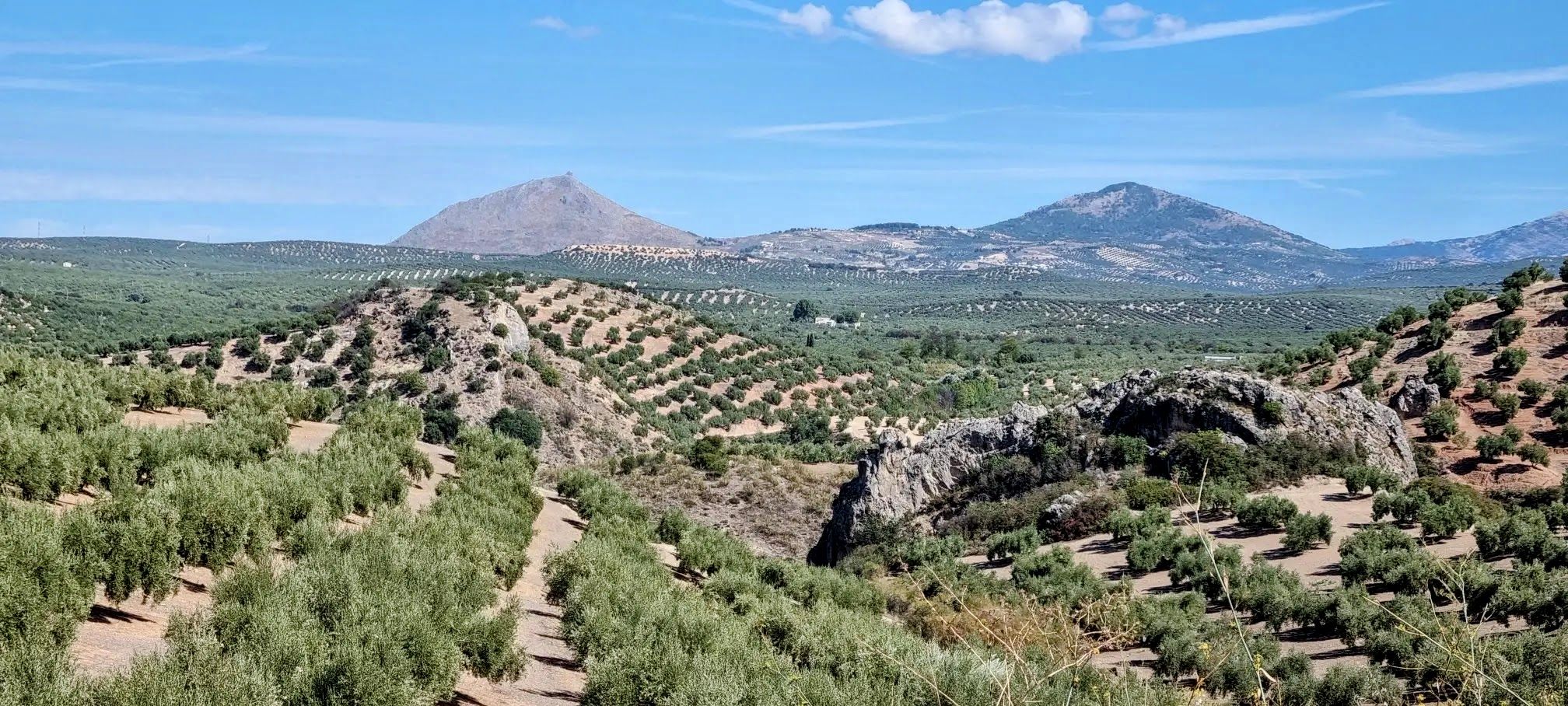
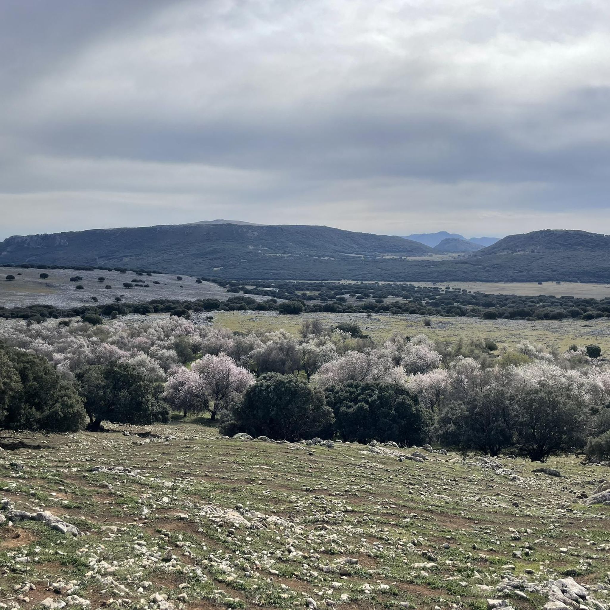
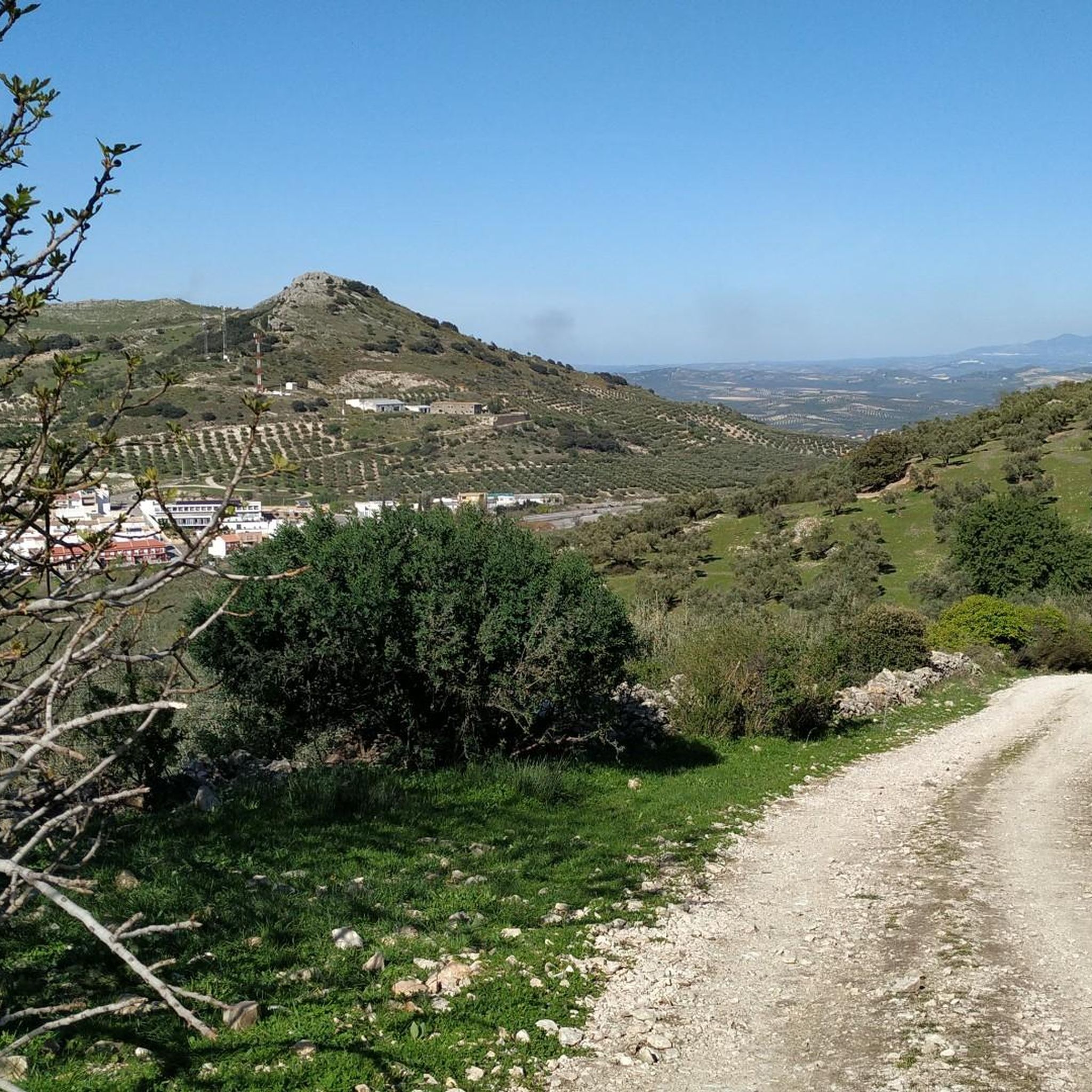
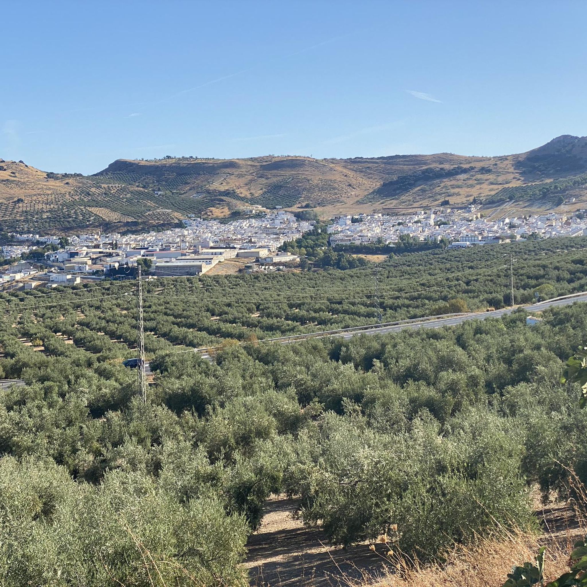
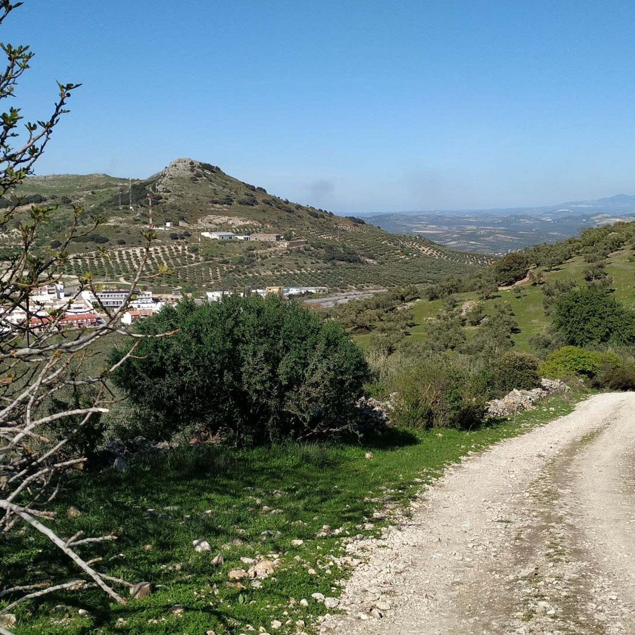
Hiking around Doña Mencía offers access to the Parque Natural Sierras Subbéticas, an area characterized by limestone formations, deep canyons, and Mediterranean scrubland. The region features varied elevations, including river valleys and hills, providing diverse hiking experiences. Many trails follow ancient paths and offer views of the surrounding Andalusian landscape.
Best hiking trails around Doña Mencía
- The most popular hiking route is Río Bailón Canyon Trail, a 7.6 miles (12.3 km) trail that takes 3 hours 43 minutes to…
Last updated: June 25, 2026
4.7
(46)
187
hikers
12.3km
03:43
410m
410m
Moderate hike. Good fitness required. Mostly accessible paths. Sure-footedness required.
4.7
(9)
42
hikers
Moderate hike. Good fitness required. Easily-accessible paths. Suitable for all skill levels.

Sign up for free
4.1
(9)
37
hikers
11.2km
03:26
420m
420m
Moderate hike. Good fitness required. Easily-accessible paths. Suitable for all skill levels.
4.8
(4)
20
hikers
16.0km
04:46
470m
470m
Moderate hike. Good fitness required. Easily-accessible paths. Suitable for all skill levels.
5.0
(1)
7
hikers
2.15km
00:38
60m
60m
Moderate hike. Great for any fitness level. Mostly accessible paths. Sure-footedness required.
Get access to more routes and recommendations from other explorers.
Sign up for free
Already have an account?
Our route recommendations are based on thousands of hikes, rides, and runs completed by other people on komoot.
Start today with a free account
Your next adventure awaits.
Login or Signup

Other adventures around Doña Mencía

Tips from the Community

Be careful when exploring! You've left the official path for this.
1
0

El Castillo de Zuheros is a historic fortress in the small municipality of Zuheros. The castle sits spectacularly on a rock and has become a landmark of the region. The castle's origins date back to the Moors in the 9th century. It was strategically built on a limestone cliff to control and defend the region. Its location made it almost impregnable.
0
0
El Castillo de Zuheros stands spectacularly on a rock and offers impressive views of the Sierra Subbética. The castle is a major landmark in the region. The castle's origins date back to the Moors in the 9th century. It was strategically built on a limestone cliff to control and defend the region. Its location made it almost impregnable. It was part of a network of castles designed to secure Moorish influence in Andalusia. In 1240, Zuheros was conquered by the troops of Ferdinand III of Castile. The castle passed into Christian ownership and was integrated into the kingdom's defensive structure. With the end of its military importance in the region, after the conquest of Granada in 1492, the castle began to decline in importance. Parts of the complex were destroyed by earthquakes and neglect over the centuries. In 1964, the towers were reconstructed as they can be seen in their current form. The ruins of the castle are now one of the main attractions of Zuheros and can be visited.
9
0

The remains date from two different periods. The massive, crenellated square tower is of Moorish origin, while the remains of the Renaissance palace date from the 16th century. At the same time, the Plaza de la Paz offers a natural viewpoint (622m), with shooting views** over the hills with their carpet of olive groves and Baena in the background.
11
0

The viewpoint gives you impressive views of the canyon formed by the Bailón River and the town of Zuheros.
1
0
This cave is known as the Friar's because of the stalacmite at the entrance, which many say resembles one of these religious people.
1
0

One of the viewpoints in Zuheros that allow you to enjoy the beautiful views of an impressive canyon carved by the stream of the same name. This viewpoint is located together with the parking area at the entrance to Zuheros.
2
0

Construction located in the highest rocky part of the town whose purpose was to protect against any external invasion, whose views are worth enjoying.
10
0
Frequently Asked Questions
How many hiking trails are there around Doña Mencía?
There are over 70 hiking trails available around Doña Mencía, catering to various skill levels. You'll find a good mix, with 23 easy routes, 46 moderate options, and 4 more challenging trails.
Are there any easy or beginner-friendly hikes in Doña Mencía?
Yes, Doña Mencía offers 23 easy hiking routes perfect for beginners or those looking for a relaxed stroll. One example is the short Loop through Zuheros, which is just over 2 km and takes less than an hour.
What kind of terrain can I expect on hikes in Doña Mencía?
The hiking trails in Doña Mencía are primarily characterized by the limestone formations, deep canyons, and Mediterranean scrubland of the Parque Natural Sierras Subbéticas. You'll encounter varied elevations, from river valleys to hills, often following ancient paths with views of the Andalusian landscape.
Are there any circular walks available in Doña Mencía?
Yes, there are several circular routes. A popular option is the Chorreras de la Fuenseca from Zuheros — circular through the Parque Natural Sierras Subbéticas, which is a moderate 16.1 km trail traversing diverse park terrain.
What are some notable attractions or landmarks I can see while hiking?
Many trails offer views of historical and natural landmarks. You can explore sites like Zuheros Castle and the charming village of Zuheros. The Doña Mencía Station is also a point of interest, often serving as a starting point for routes along the Vía Verde de la Subbética.
What do other hikers enjoy most about hiking in Doña Mencía?
The area is highly rated by the komoot community, with an average score of 4.5 stars from over 280 reviews. Hikers frequently praise the stunning natural beauty of the canyons and the well-maintained paths that offer a true immersion in the Andalusian landscape.
What is the best time of year to go hiking in Doña Mencía?
Spring (March to May) and autumn (September to November) are generally the best times for hiking in Doña Mencía. The weather is milder, and the natural scenery is vibrant. Summers can be very hot, making early morning or late afternoon hikes preferable, while winters are generally mild but can have occasional rain.
Are there any hikes that feature river canyons?
Absolutely. The region is known for its impressive river canyons. The Cañón del río Bailón – Sierras Subbéticas Natural Park is a prime example, offering a 11.2 km trail directly through the river canyon landscape.
Are the hiking trails around Doña Mencía suitable for families with children?
Yes, with 23 easy routes, many trails are suitable for families. Shorter, less strenuous paths, particularly those along the Vía Verde, offer safe and enjoyable experiences for children. Always check the route's distance and elevation gain to ensure it matches your family's ability.
Is there public transport available to access hiking trails in Doña Mencía?
Doña Mencía is connected by local bus services, which can provide access to the town itself. For specific trailheads within the Parque Natural Sierras Subbéticas, public transport options might be limited, so planning with a car or local taxi service is often recommended for greater flexibility.
Where can I find parking for hiking trails in Doña Mencía?
Parking is generally available in Doña Mencía town center and near popular access points to the Vía Verde de la Subbética, such as the old Doña Mencía Station. For trails deeper within the Parque Natural Sierras Subbéticas, look for designated parking areas near trailheads, especially around villages like Zuheros.
Are there any places to eat or drink near the hiking routes?
Yes, you'll find options in Doña Mencía itself and in nearby villages like Zuheros. For example, the Restaurant and Olive Oil Interpretation Center in the Old Luque Station is a great spot along the Vía Verde where you can enjoy local cuisine and learn about olive oil production.
Most popular routes around Doña Mencía
Most popular attractions around Doña Mencía

Get inspired with the komoot mobile app


Explore more
Browse the best Hikes in other regions.
