The best road cycling routes around Fernán-Núñez
4.8
(21)
688
riders
55
rides
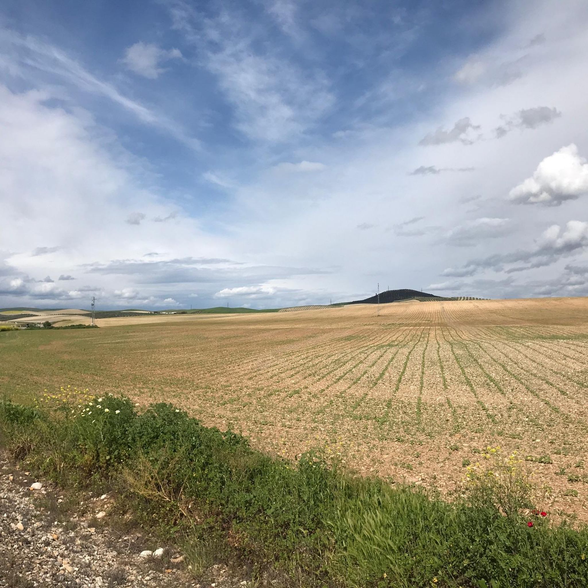
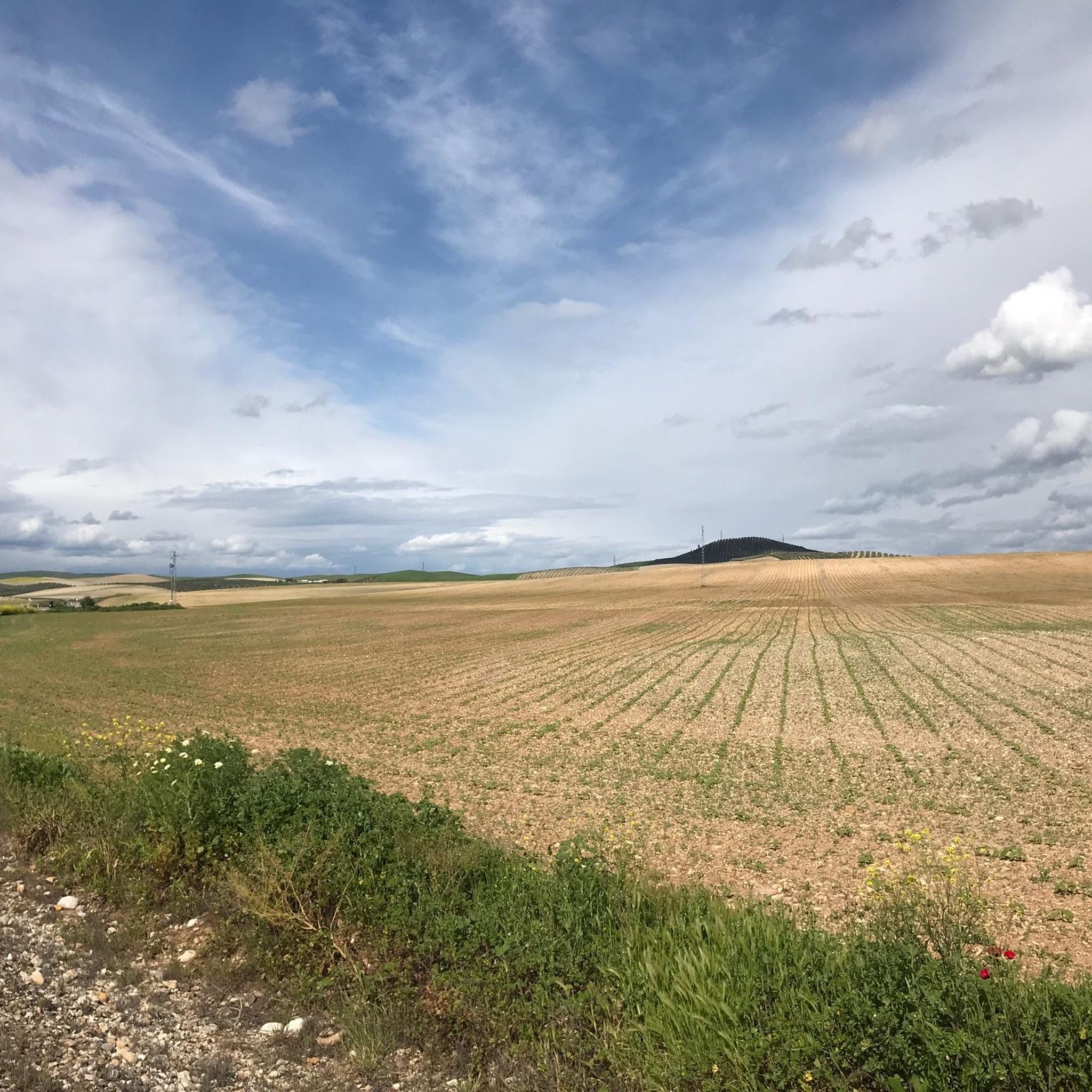
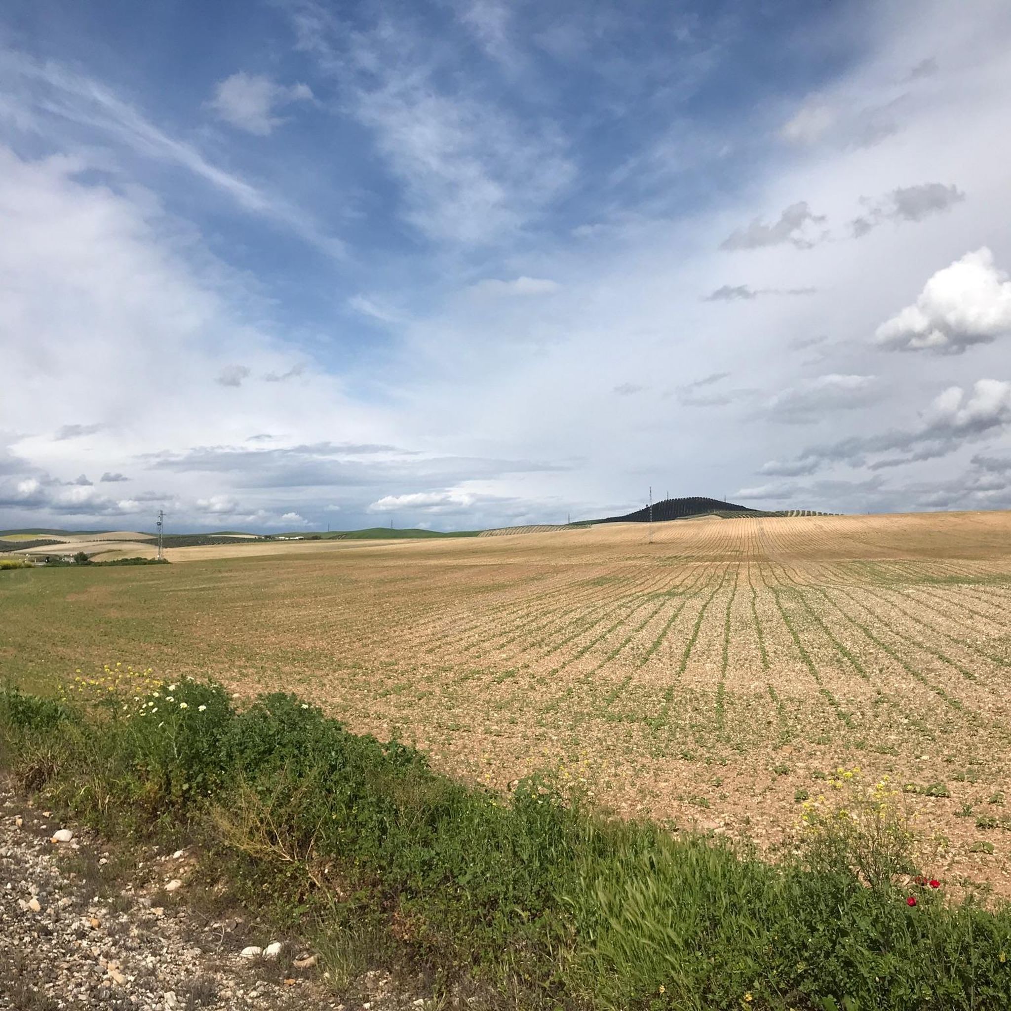
Road cycling routes around Fernán-Núñez traverse a landscape characterized by rolling hills, expansive cereal fields, and vast olive groves. The region's terrain features gentle hills and well-paved rural roads, offering varied conditions for cyclists. Agricultural land, including wheat and sunflowers, creates scenic routes that are often less trafficked. These natural features provide engaging road cycling experiences without being overly mountainous.
Best road cycling routes around Fernán-Núñez
- The most popular road cycling route is Montilla – Ducal Palace of Fernán Núñez…
Last updated: September 4, 2026
5.0
(2)
43
riders
41.8km
02:01
440m
440m
Moderate road ride. Good fitness required. Mostly well-paved surfaces and easy to ride.
5.0
(4)
40
riders
51.3km
02:24
590m
580m
Moderate road ride. Good fitness required. Mostly well-paved surfaces and easy to ride.

Sign up for free
5.0
(9)
32
riders
54.1km
02:39
590m
590m
Moderate road ride. Good fitness required. Mostly well-paved surfaces and easy to ride.
59
riders
30.4km
01:22
250m
250m
Easy road ride. Great for any fitness level. Mostly well-paved surfaces and easy to ride.
30
riders
46.2km
02:20
520m
520m
Moderate road ride. Good fitness required. Some segments of this route may be unpaved and difficult to ride.
Get access to more routes and recommendations from other explorers.
Sign up for free
Already have an account?
Our route recommendations are based on thousands of hikes, rides, and runs completed by other people on komoot.
Start today with a free account
Your next adventure awaits.
Login or Signup

Tips from the Community

Aguilar de la Frontera [2] is a Spanish municipality in the southwest of the province of Córdoba, in the autonomous community of Andalusia. The municipality is located in the region of Campiña Sur Cordobesa [3] and is the seat of the judicial district of the same name. [4] It lies at an altitude of 280 m above sea level [5] and about 47 km from the provincial capital, Córdoba. [6] In 2017, it had 13,476 inhabitants and a population density of 82.01 inhabitants/km². [7]
0
0


Birthplace of Gonzalo Fernández de Córdoba, the Great Captain, born in 1453 in the castle of Montilla. City famous for the quality of its Pedro Ximénez grape, integrating the region with the Montilla-Moriles Designation of Origin. Passing through the oldest part of Montilla, it is worth visiting the 16th century church of Santiago.
0
0
Birthplace of Gonzalo Fernández de Córdoba, the Great Captain, born in 1453 in the castle of Montilla. City famous for the quality of its Pedro Ximénez grape, integrating the region with the Montilla-Moriles Designation of Origin. Passing through the oldest part of Montilla, it is worth visiting the 16th century church of Santiago.
2
0
Church from the 16th century, probably built on the site of an old mosque, which after various modifications lost its Gothic-Mudejar appearance, becoming a classic Andalusian Baroque-style church. The church is located in the oldest part of the town, within the old castle enclosure.
2
0
Work of the architect Juan Vicente Gutiérrez de Salamanca is an octagonal square. Built in 1806 in the neoclassical style, declared a Historic-Artistic Site in May 1974. It is one of the few squares of this type in Spain.
2
0
Neoclassical style palace, from the 18th century, declared an Asset of Cultural Interest. Inspiration for the design of the palace was the façade of the Palacio de las Necesidades, where the Spanish embassy in Lisbon was located.
2
0

In the heart of the Cordoba countryside, this town is especially known for its vineyards, even having its own designation of origin: Montilla-Moriles. Olive trees and cereals are also cultivated. The town is located in a sea of hills among which the Sierra de Montilla timidly stands out.
2
1
Frequently Asked Questions
How many road cycling routes are available in Fernán-Núñez?
There are over 50 road cycling routes around Fernán-Núñez, offering a wide range of options for different skill levels and preferences. The komoot community has explored these routes more than 1000 times.
What is the typical terrain like for road cycling around Fernán-Núñez?
The region is characterized by rolling hills, expansive cereal fields, and vast olive groves. You'll find a landscape of gentle hills and well-paved rural roads, providing varied and scenic conditions for road cyclists without being overly mountainous.
What are the difficulty levels of road cycling routes in this region?
Road cycling routes around Fernán-Núñez cater to various abilities. There is 1 easy route, 29 moderate routes, and 22 difficult routes, ensuring options for beginners to experienced cyclists.
What do other cyclists say about road cycling in Fernán-Núñez?
The komoot community highly rates the road cycling experience in Fernán-Núñez, with an average score of 4.98 stars from over 30 reviews. Cyclists often praise the picturesque agricultural landscapes and the engaging terrain.
Are there any circular road cycling routes in Fernán-Núñez?
Yes, many routes in the area are designed as loops, allowing you to start and finish in the same location. For example, the Montilla – Ducal Palace of Fernán Núñez loop from Montemayor is a popular circular option that also incorporates historical sites.
What historical landmarks can I see while road cycling near Fernán-Núñez?
You can incorporate several historical sites into your rides. The Ducal Palace of Fernán Núñez, an 18th-century neoclassical gem, is a notable landmark. Other historical sites include the Iglesia de Santa Marina de Aguas Santas and the Ermita Hospital de la Caridad.
Are there any routes that pass through unique natural features or agricultural areas?
Absolutely. Many routes traverse the region's characteristic agricultural landscapes, featuring vast olive groves, cereal fields, and sunflowers. The Montilla loop from Montemayor is a great example, leading you through these scenic rural areas.
What is a good moderate-difficulty route for road cycling in the area?
A great moderate option is the Montalbán de Córdoba – Plaza de San José loop from Montemayor. This 36.3-mile (58.4 km) trail takes you through rolling hills and agricultural areas, typically completed in about 2 hours and 58 minutes.
Can I find longer, more challenging road cycling routes around Fernán-Núñez?
Yes, for a more challenging ride, consider the Plaza Jesus Nazareno – Plaza de San José loop from Montemayor. This difficult route covers approximately 53 miles (85.3 km) with significant elevation gain, offering a substantial workout.
Are there routes that explore nearby towns or villages?
Yes, some routes connect Fernán-Núñez with neighboring villages. For instance, the La Rambla, Pottery City – Olive and almond fields loop from Montemayor allows you to explore the area around La Rambla, known as the 'Pottery City', and its surrounding agricultural landscapes.
What is the best time of year for road cycling in Fernán-Núñez?
While specific weather data isn't provided, the region's climate suggests spring and autumn would be ideal for road cycling, offering milder temperatures compared to the summer heat. These seasons also showcase the vibrant agricultural landscapes at their best.
Are there any specific viewpoints or scenic spots along the routes?
The general landscape of rolling hills and expansive agricultural fields naturally offers many scenic vistas. Routes passing through olive groves and cereal fields, like the Montilla loop from Montemayor, provide picturesque views of the countryside.
Most popular attractions around Fernán-Núñez

Get inspired with the komoot mobile app


Explore more
Browse the best Road cycling routes in other regions.
