The best walks and hikes around Sant Joan De Vilatorrada
4.6
(202)
1,347
hikers
24
hikes
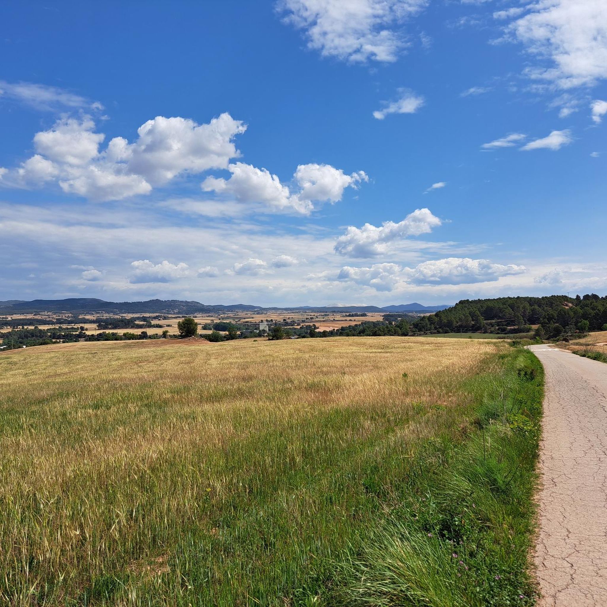
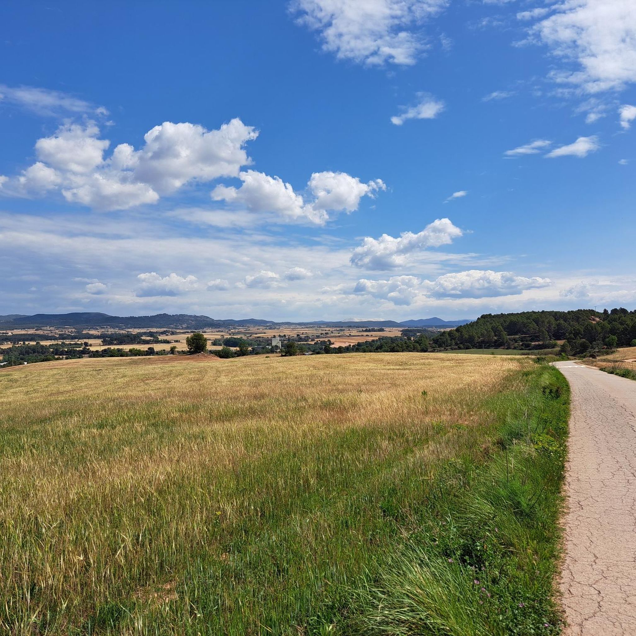
Hiking around Sant Joan De Vilatorrada offers diverse terrain within the Bages region of Catalonia, Spain. The landscape features varied mountainous reliefs, including the prominent Collbaix Summit, which provides panoramic views. The area's geology, shaped by ancient seas and the rise of the Pyrenees, contributes to its unique formations. The Cardener River also flows through the region, adding picturesque riverside landscapes to the hiking experience.
Best hiking trails around Sant Joan De Vilatorrada
- The most popular hiking route is Cal…
Last updated: July 1, 2026
33
hikers
3.67km
01:25
210m
210m
Moderate hike. Great for any fitness level. Mostly accessible paths. Sure-footedness required.
5.0
(2)
8
hikers
7.97km
02:09
110m
110m
Moderate hike. Good fitness required. Easily-accessible paths. Suitable for all skill levels.

Sign up for free
7
hikers
Hard hike. Very good fitness required. Easily-accessible paths. Suitable for all skill levels.
5.0
(1)
10
hikers
2.88km
01:16
210m
210m
Moderate hike. Great for any fitness level. Mostly accessible paths. Sure-footedness required.
8
hikers
4.60km
01:16
80m
80m
Easy hike. Great for any fitness level. Easily-accessible paths. Suitable for all skill levels.
Get access to more routes and recommendations from other explorers.
Sign up for free
Already have an account?
Our route recommendations are based on thousands of hikes, rides, and runs completed by other people on komoot.
Start today with a free account
Your next adventure awaits.
Login or Signup
Tips from the Community

The Cave of Saint Ignatius is one of Manresa's most emblematic sites, a sanctuary commemorating Ignatius of Loyola's stay during his spiritual retreat. The grotto, now a chapel, is notable for its alabaster reliefs and the traditional markings attributed to the saint, while the complex includes a Baroque church and a Neoclassical convent that enhance the visit. It is the final destination for those following the Ignatian Way.
0
0

The Old Bridge of Manresa (Pont Vell) is one of the city's most emblematic monuments and forms part of its most distinctive skyline, along with the Basilica of La Seu and the Cave of Saint Ignatius. Of Roman origin, the current structure is a faithful reconstruction of a 12th-century medieval bridge. It was destroyed in 1939 during the Civil War and rebuilt between 1960 and 1962 by architect J. Pons Sorolla.
15
0

Pont Vell de Manresa, crosses the Cardener river and connects the old Abrera road and Rodalies station with the Santuari de Sant Ignasi and the Old quarter.
1
0


Collbaix is a 543 meter peak, located in Sant Joan de Vilatorrada. It is the highest in the district of Manresa, to the west of Pla de Bages, which has an excellent observation point. It is listed as a large park by the Planning Plan of Manresa. The mountain is located between the streams of Rajadell and Fonollosa. The south side belongs to Manresa, the east to Sant Joan de Vilatorrada, where the town's expansion area is located. Rajadell has the area of Punta Sabata and Fonollosa with most of the summit, the west and the obac slope. Collbaix originated from the erosion of the surrounding land. A resistant layer of conglomerates protects the flat top from erosion, forming a plateau. The summit is made up of large blocks of stone separated from each other. At the top we can find a geodesic vertex (reference 280109001) A metal table with an engraved map of the region. This peak is included in the list of the 100 peaks of the FEEC.
1
0
The tubs are constructions that have very similar characteristics. Its exterior plan can be quadrangular or circular, but the interior structure is basically the same. The lower part of it is made with stone and mortar. The interior is usually circular, and is covered with varnished ceramic pieces. Then, as an extension of the tub, some dry stone walls were built that gave its square or circular outer structure, where an opening was built. The roof is usually formed by a conical vault of dry stone covered with earth to make it waterproof. The vat usually has an upper access from where the must was poured once pressed, and at the bottom were the spouts through which it was emptied. Sometimes they have an attached hut that closes the access to the tub from the bottom and can also be used to store tools. In the area of Sant Joan de Vilatorrada and Sant Martí de Torruella some tubs are preserved as isolated architectural elements, in some cases it is simply the tub without any other element in the middle of a field. On other occasions it is a group of tubs (three or four) to which a hut has been added at the foot of each tub.
1
0
Medieval bridge to cross the Cardener river in Manresa, capital of Bages. It is the access point to the Seu and old town, and also the departure point to the old Rajadell path. A very nice way to get to the city.
0
0

Pont Nou de Manresa is one of the best-preserved medieval bridges in Catalonia, built at the beginning of the 14th century under the direction of the Barcelona architect Berenguer de Montagut, who also designed La Seu and Carme churches. It is a Gothic structure bridge that has a structure of eight semi-circular arches made of stone ashlars and with a completely flat track. Until the construction of the Pont Nou, there was only one bridge over the Cardener river on the edge of the city of Manresa, which became known as Pont Vell. Due to the growing economic and commercial weight of the city, and its situation as a communications node within the road network of Central Catalonia, the construction of a new bridge must have been considered important. In this way, Lleida's rural road would be provided with a stable crossing over the river. On March 1312, King James the Fair granted the city of Manresa the construction of a new bridge. In 1939 the retreating republican army blew up three of its arches, which were redone in 1940. During 2015, rehabilitation and structural reinforcement works were carried out on part of the bridge, and in 2022 they finished the restoration work on the other side.
0
0
Frequently Asked Questions
How many hiking trails are available around Sant Joan De Vilatorrada?
There are over 20 hiking trails around Sant Joan De Vilatorrada, offering a variety of experiences for different skill levels. You'll find 2 easy routes, 19 moderate routes, and 3 difficult routes to explore.
What kind of terrain can I expect on hikes in Sant Joan De Vilatorrada?
The terrain around Sant Joan De Vilatorrada is diverse, featuring varied mountainous reliefs and green spaces. You can expect paths that lead through areas shaped by ancient seas and the rise of the Pyrenees, including the prominent Collbaix Summit. The Collbaix Summit itself is known for its unique geology. The Cardener River also flows through the region, offering picturesque riverside landscapes.
Are there any easy hiking trails suitable for beginners or casual walkers?
Yes, there are easy trails available. For a pleasant and accessible walk, consider the South-Facing Viewpoint loop from Sant Joan de Vilatorrada. This route is 4.6 km long and typically takes about 1 hour 16 minutes to complete.
What are some notable landmarks or points of interest to see while hiking?
The region is rich in landmarks. You can hike to the Collbaix Summit for panoramic views, or discover historical sites like the Cal Jepot wine vat. Other attractions in the wider area include the impressive Basilica of Santa Maria de la Seu de Manresa and the historic Pont Vell de Manresa.
Are there any circular hiking routes in the area?
Yes, many routes in Sant Joan De Vilatorrada are circular. An example is the Hiking loop from Sant Joan de Vilatorrada, which is a moderate 8.0 km path offering a varied experience through the local landscape.
What do other hikers say about the trails in Sant Joan De Vilatorrada?
The hiking trails in Sant Joan De Vilatorrada are highly regarded by the komoot community, with an average rating of 4.5 out of 5 stars from over 170 reviews. Hikers often praise the diverse terrain and the scenic views, especially from the Collbaix Summit.
Are there any challenging hikes for experienced trekkers?
Yes, for experienced trekkers seeking a challenge, there are difficult routes available. One such option is the Sant Ignasi Cave – Pont Vell de Manresa loop from Sant Joan de Vilatorrada, which is a demanding 21.6 km trail.
Can I find routes that include historical sites or castles?
Absolutely. The region has several historical sites and castles. While hiking, you might encounter structures like the Castellnou Castle Tower or Rajadell Castle. These add a cultural dimension to your outdoor adventure.
What is the highest point I can reach on a hike in this area?
The highest point you can reach on a hike in the Manresa district is the Collbaix Summit, standing at approximately 543 or 554 meters. It offers superb panoramic views of the surrounding area and is a distinctive natural monument.
Are there any routes that feature the Cardener River?
Yes, the Cardener River flows through the area, and some routes will offer picturesque riverside landscapes. While specific routes focusing solely on the river aren't highlighted here, the river is an integral part of the region's natural beauty and can be enjoyed on various trails.
What is a good moderate hike to experience the local landscape?
A great moderate option is the Cal Jepot wine vat – Collbaix Summit loop from Sant Joan de Vilatorrada. This 3.7 km trail takes about 1 hour 25 minutes and ascends to the Collbaix Summit, providing excellent views and a taste of the local scenery.
Most popular routes around Sant Joan De Vilatorrada
Most popular attractions around Sant Joan De Vilatorrada

Get inspired with the komoot mobile app


Explore more
Browse the best Hikes in other regions.
