The best walks and hikes around Monteagudo Del Castillo
4.6
(14)
171
hikers
20
hikes
Hiking around Monteagudo Del Castillo offers exploration of a transitional geographical zone in Teruel, Aragon. The region is characterized by its elevated position between the Sierra de Gúdar and the depression of El Pobo, providing panoramic views of valleys and the southern Iberian mountain system. Hikers will encounter diverse landscapes including cultivated fields, pastures, and pine forests, with undulating reliefs and the Río Seco flowing through the municipality. This varied terrain provides a compelling backdrop for outdoor activities.
Best hiking…
Last updated: June 28, 2026
5.0
(1)
3
hikers
7.66km
02:23
270m
270m
Hike the moderate 4.8-mile (7.7 km) Alcala de la Selva - Peña Ojerada trail in Sierra de Gúdar, featuring panoramic views and a unique rock
4.8
(4)
30
hikers
Hard hike. Very good fitness required. Easily-accessible paths. Suitable for all skill levels.

Sign up for free
20
hikers
Easy hike. Great for any fitness level. Easily-accessible paths. Suitable for all skill levels.
9
hikers
Hard hike. Very good fitness required. Easily-accessible paths. Suitable for all skill levels.
7
hikers
Moderate hike. Good fitness required. Easily-accessible paths. Suitable for all skill levels.
Get access to more routes and recommendations from other explorers.
Sign up for free
Already have an account?
Our route recommendations are based on thousands of hikes, rides, and runs completed by other people on komoot.
Start today with a free account
Your next adventure awaits.
Login or Signup

Tips from the Community

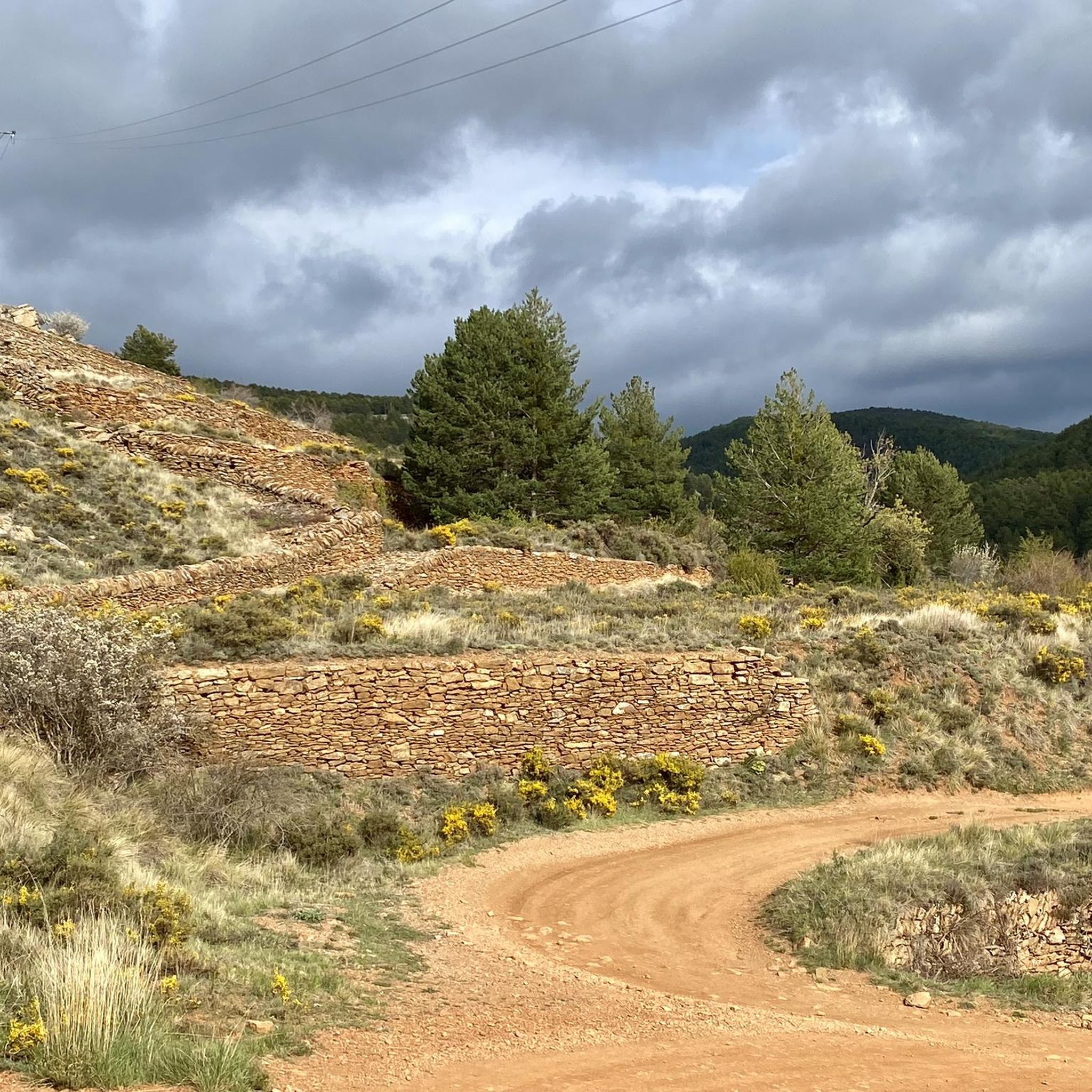
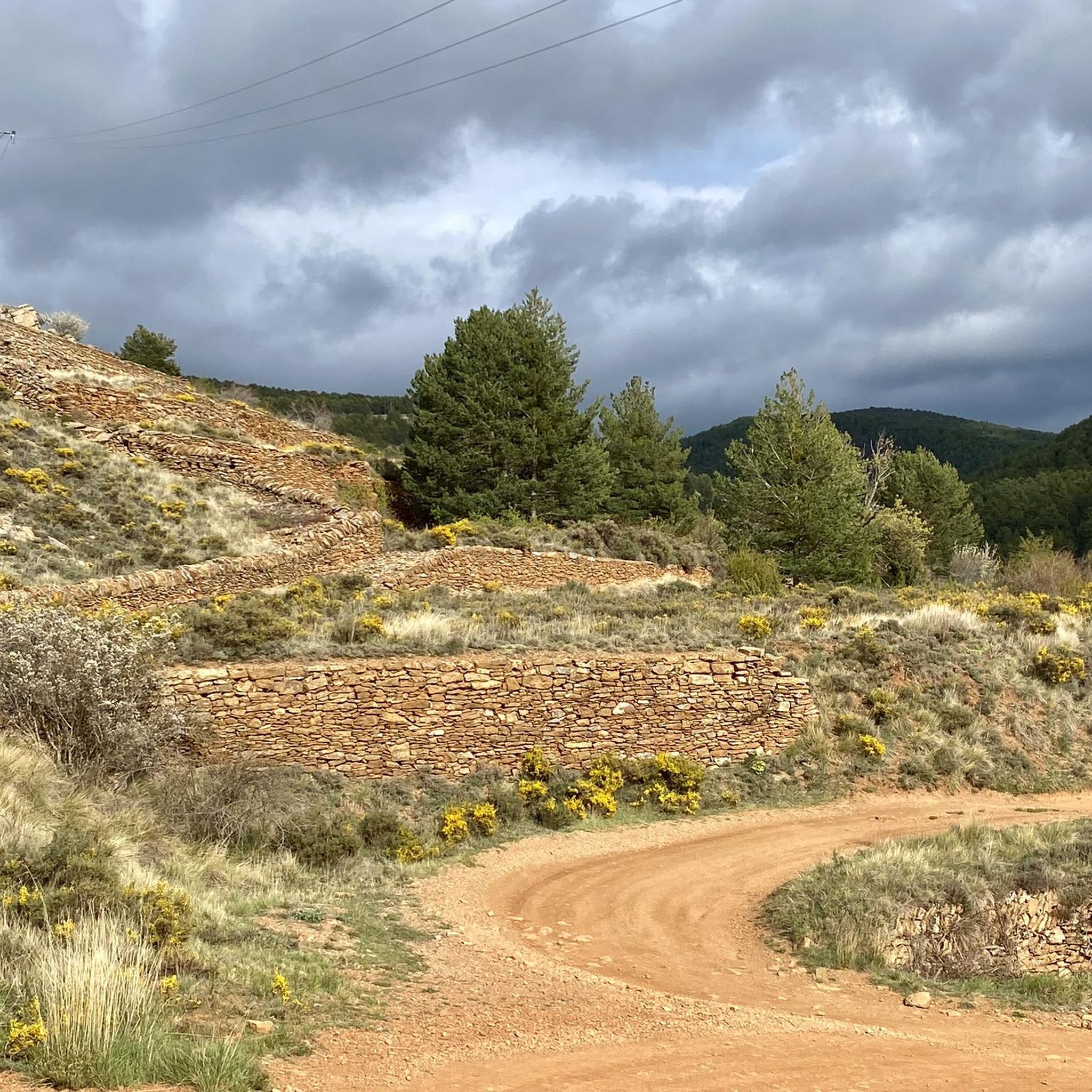
Alcalá de la Selva is a charming municipality in the province of Teruel, Aragon. Of Arab origin, it offers a stunning view of the town.
4
0

Alcalá de la Selva is located at an altitude of 1,400 m in the Sierra de Gúdar mountain range. The Alcalá River flows at its feet, feeding an abundance of small vegetable gardens. Today, Alcalá de la Selva, with around 500 inhabitants, is the main winter resort in the province of Teruel.
1
0
The Peña Ojerada in Alcalá de la Selva is a popular destination for hiking enthusiasts. One of the most recommended routes is the Circular Route of the Viewpoints, which includes the Peña Ojerada and Monte Pinar.
7
0

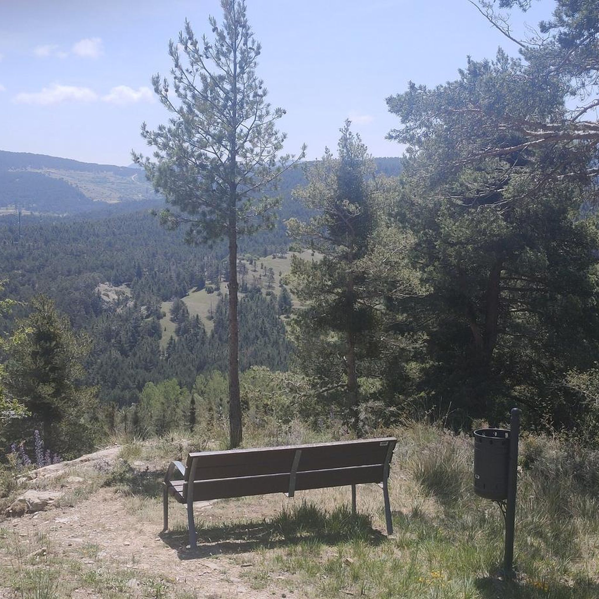
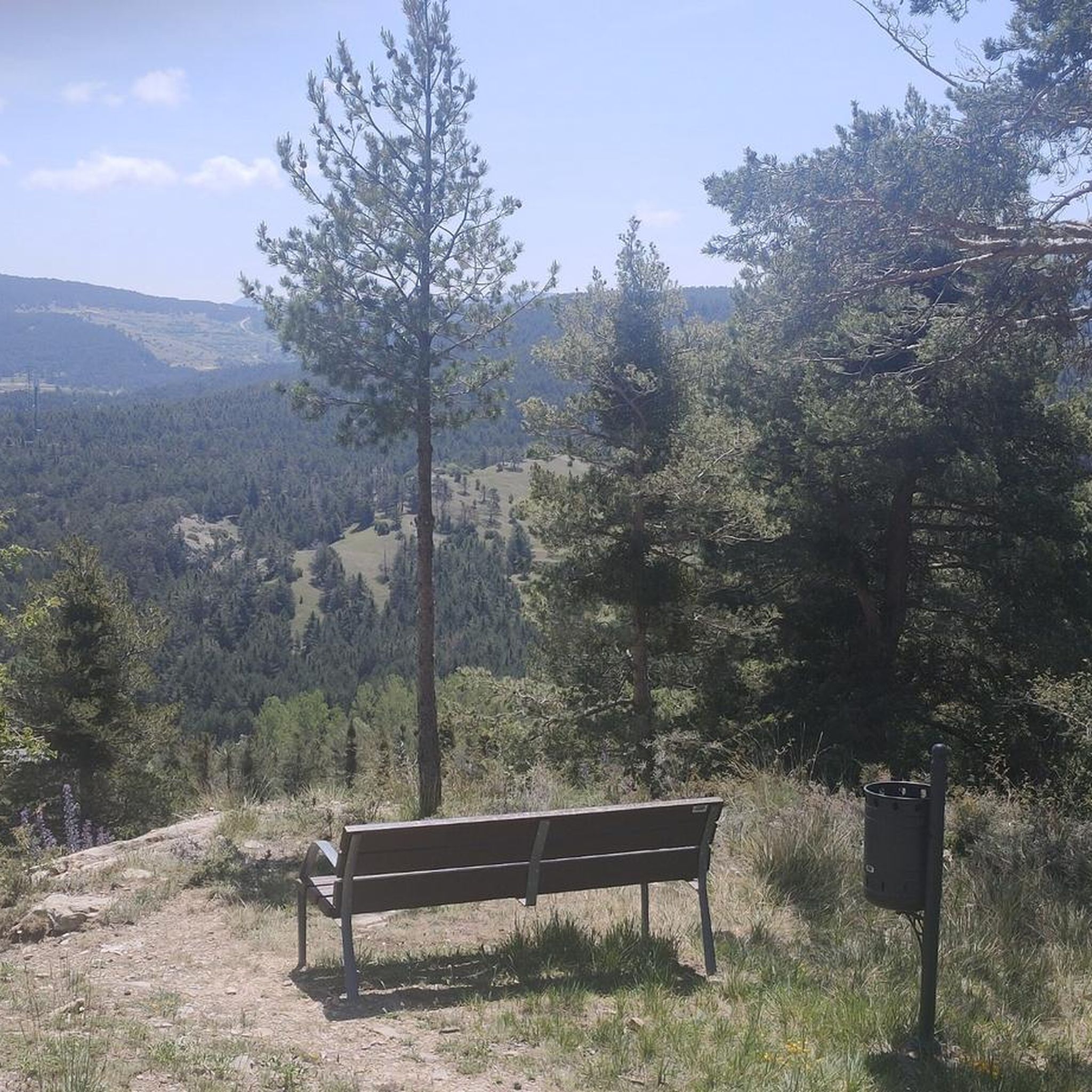
Viewpoint at the geodetic point. Stone turret with iron ladder that allows you to climb over the tree line to enjoy the views.
0
0
The Mirador de Peñarroya is a panoramic viewpoint located in the Matarraña region, in the province of Teruel. The trail is part of the PR-TE 157 circular route, suitable for families. If you are in the area, you can also explore other viewpoints such as El Peñón, which offers impressive panoramic views of Peñarroya and the Alto Valle del Guadiato. Happy hiking! 🚶♀️🌄🌞
8
0
It is located southwest of Collado de la Gitana, accessible via a dirt track and surrounded by forests. If you are interested in exploring the area, you can consider the LA CHAPARRILLA REFUGIO – FUEN ROYA – LAS LAVADERAS WATERFALL Route. This hiking route will take you through impressive landscapes in the Hoya del Colmillo region, Aragon. Enjoy nature and tranquility in this beautiful corner of Spain! 🏞️
8
0

Place to recover strength after going down the Valdelinares ski slope. Town that has services and bars to eat. There are bars that can prepare simple vegetarian options. Place to recover strength after going down the Valdelinares ski slope. It is a town that has shops and bars to eat. There are bars that can prepare simple vegetarian options.
1
0

Located in the Sierra de Gúdar and very close to the Valdelinares ski resort, we find this mountain refuge at an altitude of more than 1800 meters next to the path (GR 8) and the passing area of the popular bikepacking route Montañas Vacías . We will find a fireplace for the colder winter months.
2
0
Frequently Asked Questions
What kind of terrain can I expect when hiking around Monteagudo Del Castillo?
The region offers a diverse landscape, characterized by its elevated position between the Sierra de Gúdar and the depression of El Pobo. You'll find a mix of cultivated fields, pastures, and significant pine forests, particularly in areas like Monte del Pinar. The terrain features undulating reliefs and the Río Seco flowing through the municipality, providing varied scenery for hikers.
Are there easy hiking options suitable for beginners or families in Monteagudo Del Castillo?
Yes, there are easy routes available. For instance, the Alcalá de la Selva loop from La Virgen de la Vega is an easy 5.2 km trail with gentle elevation changes, perfect for a relaxed walk. The region also features the 'Ruta de los Miradores de Monteagudo del Castillo', an easy, circular 3.54 km route showcasing village monuments and panoramic viewpoints.
What are some notable natural features or viewpoints to look out for on hikes?
Hikers can enjoy exceptional vistas from Peñarroya Summit and Observation Tower, which offers panoramic views of the surrounding valleys and mountain ranges. Another significant natural feature is the Monte del Pinar, a large Scots pine forest. The 'Ruta de los Miradores de Monteagudo del Castillo' also provides excellent elevated viewpoints, including one with views of the Río Seco valley and the Sierra de El Pobo.
Are there any historical landmarks or attractions I can visit while hiking?
Absolutely. The area is rich in history. You can explore the remains of the 13th or 14th-century medieval castle perched on a hill overlooking the village. The Alcalá de la Selva Castle is another prominent historical site. Within the village, you'll find the 16th-century Iglesia Nuestra Señora de los Ángeles and the 18th-century Ermita de la Virgen del Pilar. The Peirón de la Joya, a medieval-looking cross, also adds cultural interest.
Are there any circular hiking routes in the Monteagudo Del Castillo area?
Yes, several routes offer circular options. The 'Ruta de los Miradores de Monteagudo del Castillo' is an easy, circular route within the village itself. For a more challenging option, consider the Alcalá de la Selva Castle – Peñarroya Summit Viewpoint loop from Alcalá de la Selva, a 16.7 km trail with significant ascents.
What do other hikers enjoy most about hiking in Monteagudo Del Castillo?
The area is highly rated by the komoot community, with an average score of 4.4 stars from over 11 reviews. Hikers often praise the diverse landscapes, from pine forests to undulating reliefs, and the stunning panoramic viewpoints. The integration of historical sites like the castle ruins into the natural trails is also a highlight for many.
What is a moderately challenging hike I could try in the region?
For a moderate challenge, the Alcala de la Selva - Peña Ojerada route is a popular choice. This 7.7 km path includes an elevation gain of 271 meters, offering varied terrain and scenic views without being overly strenuous. Another moderate option is the Alcalá de la Selva Castle – Alcalá de la Selva loop from Alcalá de la Selva, an 8.08 km route.
Are there any facilities like picnic areas available for hikers?
Yes, approximately 6 km from the village, you'll find the El Saladar Picnic Area. It's equipped with tables, chairs, and barbecue facilities, providing a convenient spot to rest and enjoy a meal amidst nature after your hike.
Can I find longer, more difficult hikes in the Monteagudo Del Castillo area?
Yes, for experienced hikers seeking a greater challenge, there are more difficult routes. The La Chaparrilla Refuge – Peñarroya Summit Viewpoint loop from Urbanización Sol y Nieve is a demanding 17.18 km trail with significant elevation changes, often taking several hours to complete.
What is the Pico de San Cristóbal and can I hike to it?
Pico de San Cristóbal is a prominent peak standing at 1,624 meters above sea level. While not a specific komoot route in the provided data, it offers exceptional panoramic views of the municipality's diverse environmental units and up to seven neighboring villages. Many local trails provide access to viewpoints that offer glimpses of this significant peak and its surroundings.
Are there any water features or rivers along the hiking trails?
The Río Seco flows through the municipality, and you can often catch views of its valley from various elevated points, such as those along the 'Ruta de los Miradores'. While many historical fountains have dried up, some, like Fuente de los Cantos and Fuente del Monte, still provide water. There are also several water reservoirs used for livestock.
Most popular routes around Monteagudo Del Castillo
Most popular attractions around Monteagudo Del Castillo

Get inspired with the komoot mobile app


Explore more
Browse the best Hikes in other regions.
