The best walks and hikes around Polentinos
4.4
(123)
1,023
hikers
38
hikes
Hiking around Polentinos offers diverse terrain within the Palencia Mountain region, part of the larger Cantabrian Mountains. The area features prominent peaks like Curavacas Mountain, reaching 2524 meters, and significant yew forests such as the Tejeda de Tosande. Hikers can explore varied landscapes, including river valleys along the Pisuerga River and general mountainous terrain with glacial lagoons.
Best hiking trails around Polentinos
- The most popular hiking route is Path "El Roblón de Estalaya" (PRC-P 4) — circular through the Montaña…
Last updated: June 25, 2026
4.7
(14)
100
hikers
Easy hike. Great for any fitness level. Easily-accessible paths. Suitable for all skill levels.
4.5
(8)
43
hikers
Easy hike. Great for any fitness level. Easily-accessible paths. Suitable for all skill levels.

Sign up for free
6.43km
01:44
80m
80m
Easy hike. Great for any fitness level. Easily-accessible paths. Suitable for all skill levels.
5.0
(4)
32
hikers
8.48km
02:35
300m
300m
Moderate hike. Good fitness required. Easily-accessible paths. Suitable for all skill levels.
18
hikers
3.35km
01:03
140m
140m
Easy hike. Great for any fitness level. Easily-accessible paths. Suitable for all skill levels.
Get access to more routes and recommendations from other explorers.
Sign up for free
Already have an account?
Our route recommendations are based on thousands of hikes, rides, and runs completed by other people on komoot.
Start today with a free account
Your next adventure awaits.
Login or Signup
Tips from the Community

One of the most beautiful Romanesque churches in the area.
0
0

Impressive oak tree over 600 years old, easy walk, well signposted and very pleasant.
0
0

A jewel of Palencia that must be visited.
0
0

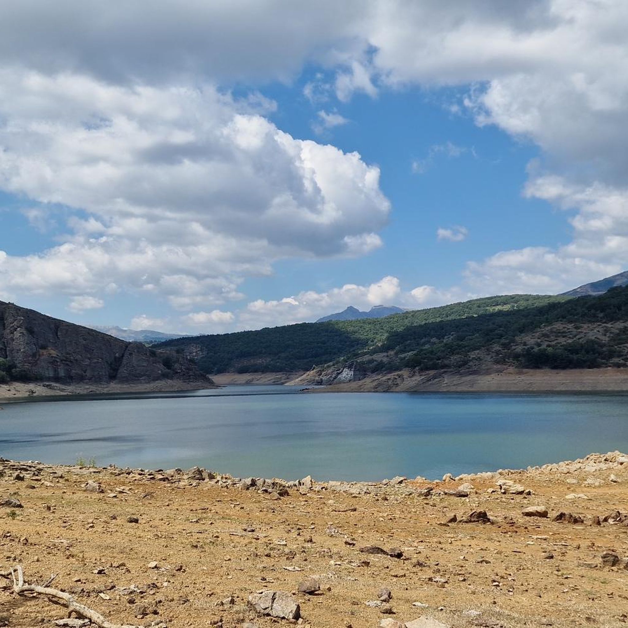
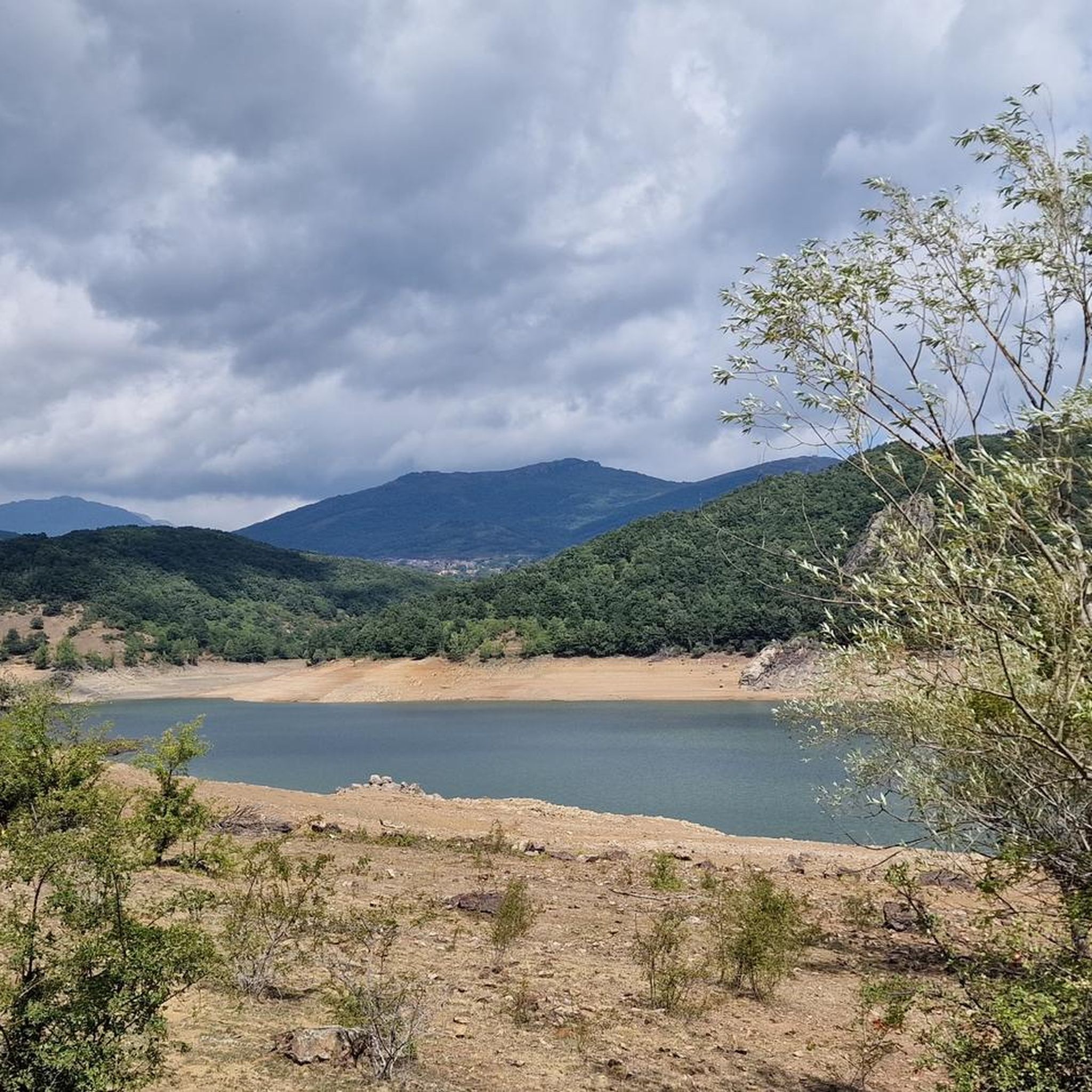
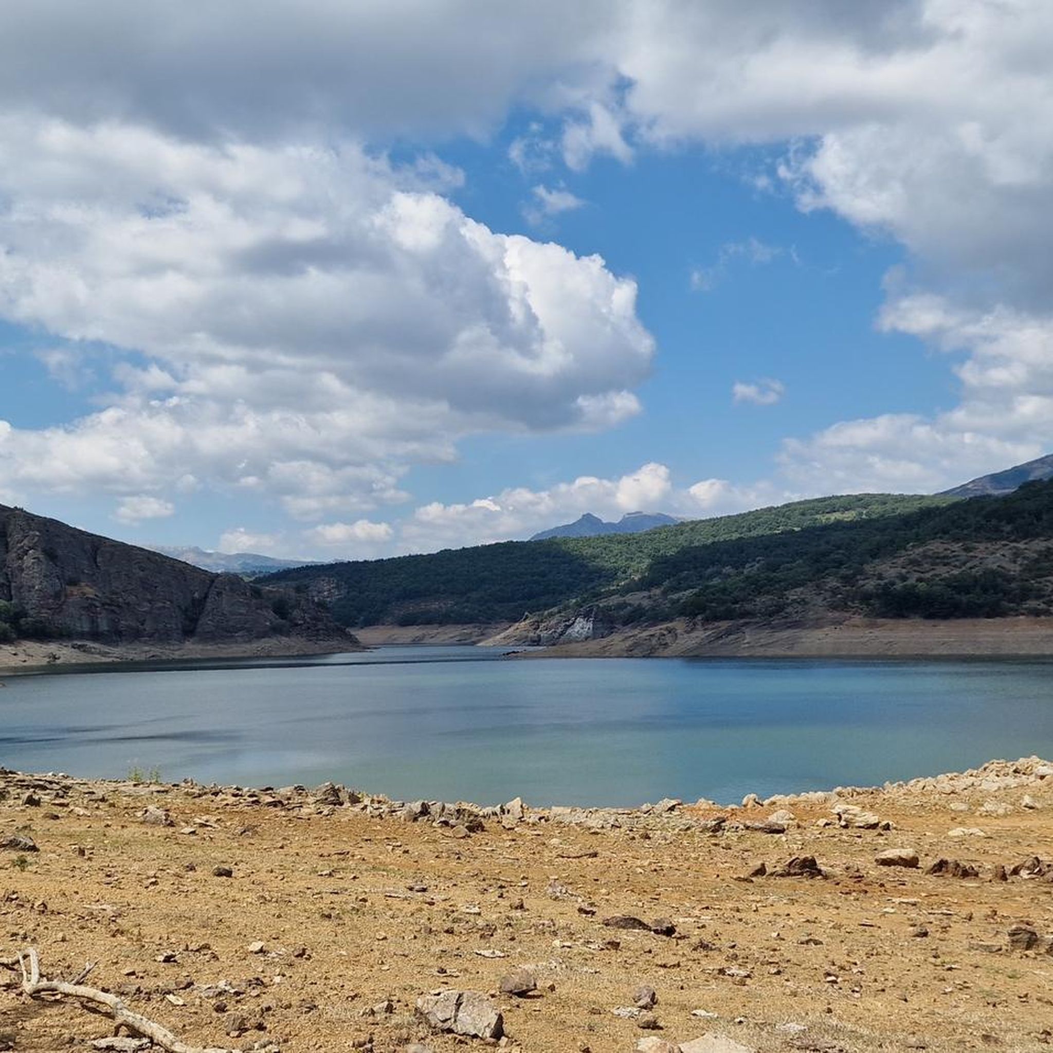
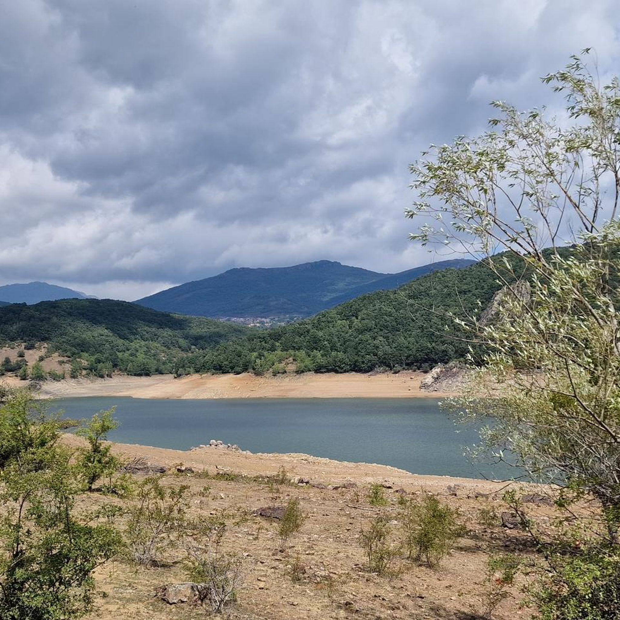
The views from the path are magnificent. In the foreground you can see the town of Vañes and, in the background, the beautiful Requejada reservoir.
1
0

This is a beautiful little wooded trail that takes you past a rock face with fossilized trees. Fossils are millions of years old.
0
0
Current parish church of San Salvador de Cantamuda, in the heart of the Palentina Mountain Natural Park. Dated in the 12th century, It has a very beautiful western façade, with a spectacular Romanesque style belfry with a double hole for bells.
0
0
The Requejada Reservoir is formed by the Pisuerga River reservoir. From here you can see the entire other side of the lake and the forest that surrounds it.
0
0
Mirador del Portillo de Carro is one of several large viewpoints along the Senda del Oso. There are signs to help you identify the surrounding mountains and great views.
2
0
Frequently Asked Questions
How many hiking trails are available around Polentinos?
Polentinos offers a diverse selection of over 35 hiking trails. These range from easy strolls to more challenging ascents, catering to various skill levels. You'll find approximately 10 easy routes, 19 moderate routes, and 8 difficult routes to explore.
Are there any easy, circular hiking routes suitable for families in Polentinos?
Yes, Polentinos has several easy, circular routes perfect for families. One popular option is the Path "El Roblón de Estalaya" (PRC-P 4), which is about 4.5 km long and takes around 1 hour 20 minutes. Another great choice is the Senda del Bosque Fósil desde Verdeña (PRC-P 9), a 3.7 km trail through a fossil forest, typically completed in just over an hour.
What kind of natural features and landmarks can I expect to see on hikes near Polentinos?
Hiking around Polentinos offers a rich variety of natural features. You can encounter prominent peaks like Curavacas (2524m), significant yew forests such as the Tejeda de Tosande Yew Forest Trail, and unique geological sites like the Fossil Forest Cliff. The region also features stunning glacial lagoons and river valleys, providing diverse landscapes.
Are there any trails that offer views of reservoirs or water bodies?
Yes, you can find trails with scenic reservoir views. The Mirador del Portillo de Carro – View of the Reservoir loop from Arbejal is a moderate 8.5 km route that follows the Pisuerga River and offers beautiful vistas of the Requejada reservoir and its riparian environments.
What do other hikers say about the trails in Polentinos?
The trails in Polentinos are highly regarded by the komoot community, holding an average rating of 4.4 stars from over 100 reviews. Hikers often praise the varied terrain, from ancient yew forests to mountainous landscapes, and the well-maintained paths that cater to different ability levels.
Can I find trails that pass through unique forests or ancient trees?
Absolutely. The region is home to the Tejeda de Tosande Yew Forest Trail, which winds through one of the most important yew forests on the Iberian Peninsula. You can also explore the area around Roblón de Estalaya, a notable natural monument, on the Path "El Roblón de Estalaya".
Are there any trails near Polentinos that are known for wildlife spotting, like the Senda del Oso?
While the Senda del Oso (Bear Trail) is a well-known route for its name, it's located near Cervera de Pisuerga, which is close to Polentinos. This trail follows the Pisuerga River and explores riparian environments. While direct bear sightings are rare, the Montaña Palentina Natural Park is a habitat for diverse wildlife, and quiet observation on any trail can be rewarding.
What is the best time of year to go hiking in Polentinos?
Polentinos offers hiking opportunities throughout much of the year. Spring and autumn generally provide pleasant temperatures and vibrant scenery, with wildflowers in spring and rich colors in autumn. Summer is also popular, especially for higher altitude trails, though it can be warmer. Winter hiking is possible, particularly on lower elevation routes, but requires appropriate gear and awareness of snow conditions in the mountains.
Are there any trails that lead to viewpoints or offer panoramic vistas?
Many trails in the mountainous terrain around Polentinos offer excellent viewpoints. The Peña del Águila y mirador del Caldacio route, for instance, is designed to lead to scenic overlooks, providing panoramic views of the surrounding valleys and peaks.
What is the general difficulty level of hiking in Polentinos?
Polentinos offers a good mix of difficulty levels. You'll find a significant number of easy and moderate trails, making it accessible for casual hikers and families. However, the region's mountainous character also provides more challenging routes and ascents for experienced hikers looking for a greater physical test.
Are there any historical or cultural points of interest accessible via hiking trails?
Yes, some trails can lead you to or near historical sites. For example, the route Colegiata de San Salvador by San Salvador de Cantamuda is an easy hike that allows you to explore the area around the Collegiate Church of San Salvador, offering a blend of nature and cultural heritage.
Can I find information on trail distances and estimated completion times?
Yes, komoot provides detailed information for each trail, including its distance and estimated completion time. For example, the Path "El Roblón de Estalaya" is 4.5 km and takes about 1 hour 21 minutes, while the moderate Mirador del Portillo de Carro loop is 8.5 km and typically takes around 2 hours 35 minutes.
Most popular attractions around Polentinos

Get inspired with the komoot mobile app


Explore more
Browse the best Hikes in other regions.
