The best road cycling routes around Robledo De Chavela
4.0
(51)
4,285
riders
21
rides
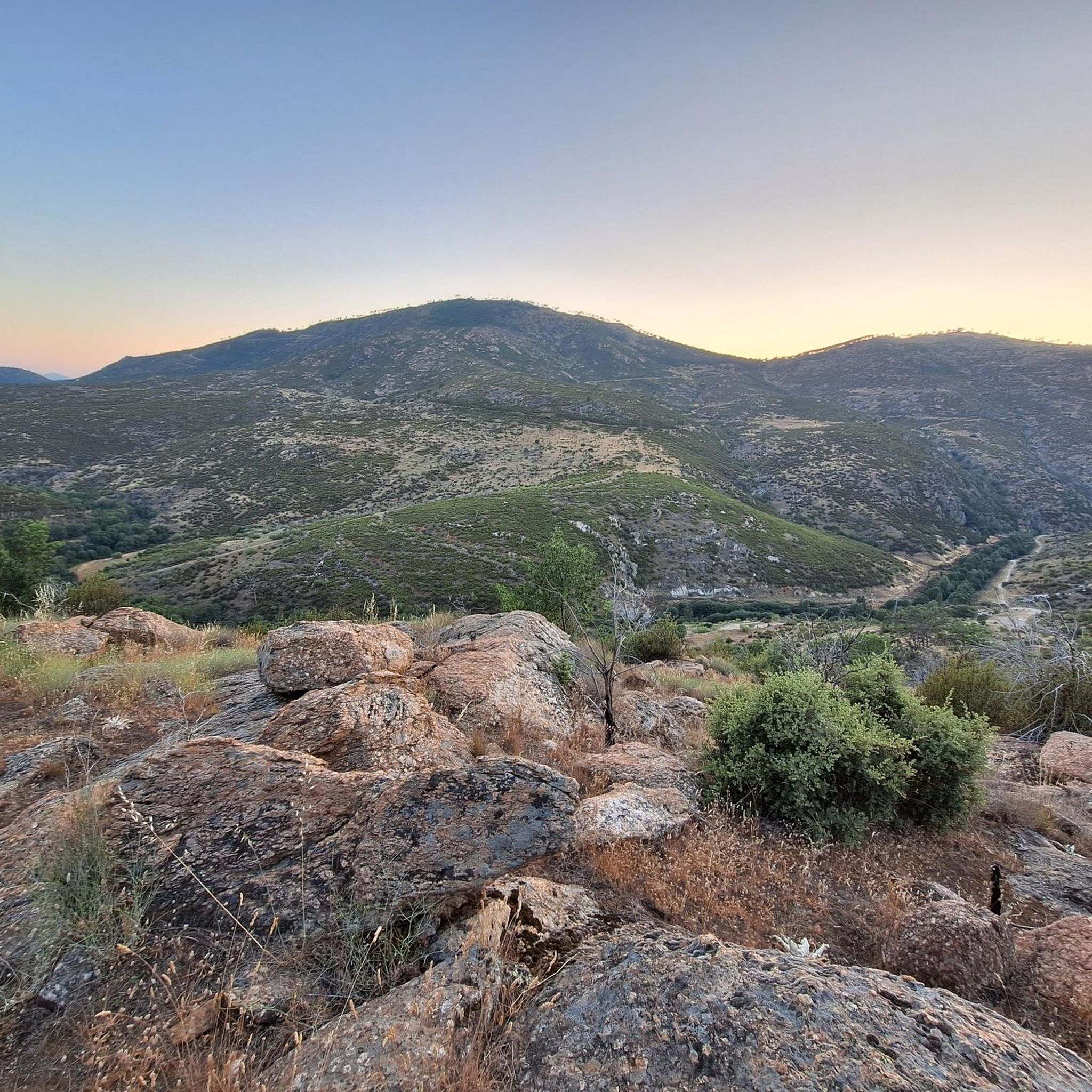
Road cycling routes around Robledo De Chavela are situated in the Sierra Oeste of Madrid, nestled between the Guadarrama and Gredos mountain ranges. The region features varied topography, including significant mountainous terrain with peaks like El Almojón and San Benito. Cyclists can expect diverse ecosystems, including extensive oak and stone pine forests, dehesas, and ash groves, with riparian vegetation along the Cofio River. This landscape provides a range of road cycling terrain, from moderate climbs to more strenuous ascents.
Best…
Last updated: October 3, 2026
74
riders
58.0km
02:50
880m
880m
Moderate road ride. Good fitness required. Mostly well-paved surfaces and easy to ride.
44
riders
147km
07:31
2,550m
2,550m
Hard road ride. Very good fitness required. Some segments of this route may be unpaved and difficult to ride.

4.0
(2)
50
riders
69.1km
03:35
1,230m
1,230m
Hard road ride. Very good fitness required. Mostly well-paved surfaces and easy to ride.
16
riders
43.3km
02:16
790m
790m
Moderate road ride. Good fitness required. Mostly well-paved surfaces and easy to ride.
5.0
(4)
16
riders
77.9km
04:02
1,380m
1,380m
Hard road ride. Very good fitness required. Mostly well-paved surfaces and easy to ride.
Get access to more routes and recommendations from other explorers.
Already have an account?
Our route recommendations are based on thousands of hikes, rides, and runs completed by other people on komoot.
Start today with a free account
Your next adventure awaits.
Popular around Robledo De Chavela

The treasures of Guadarrama – on foot along the GR 10 in Madrid
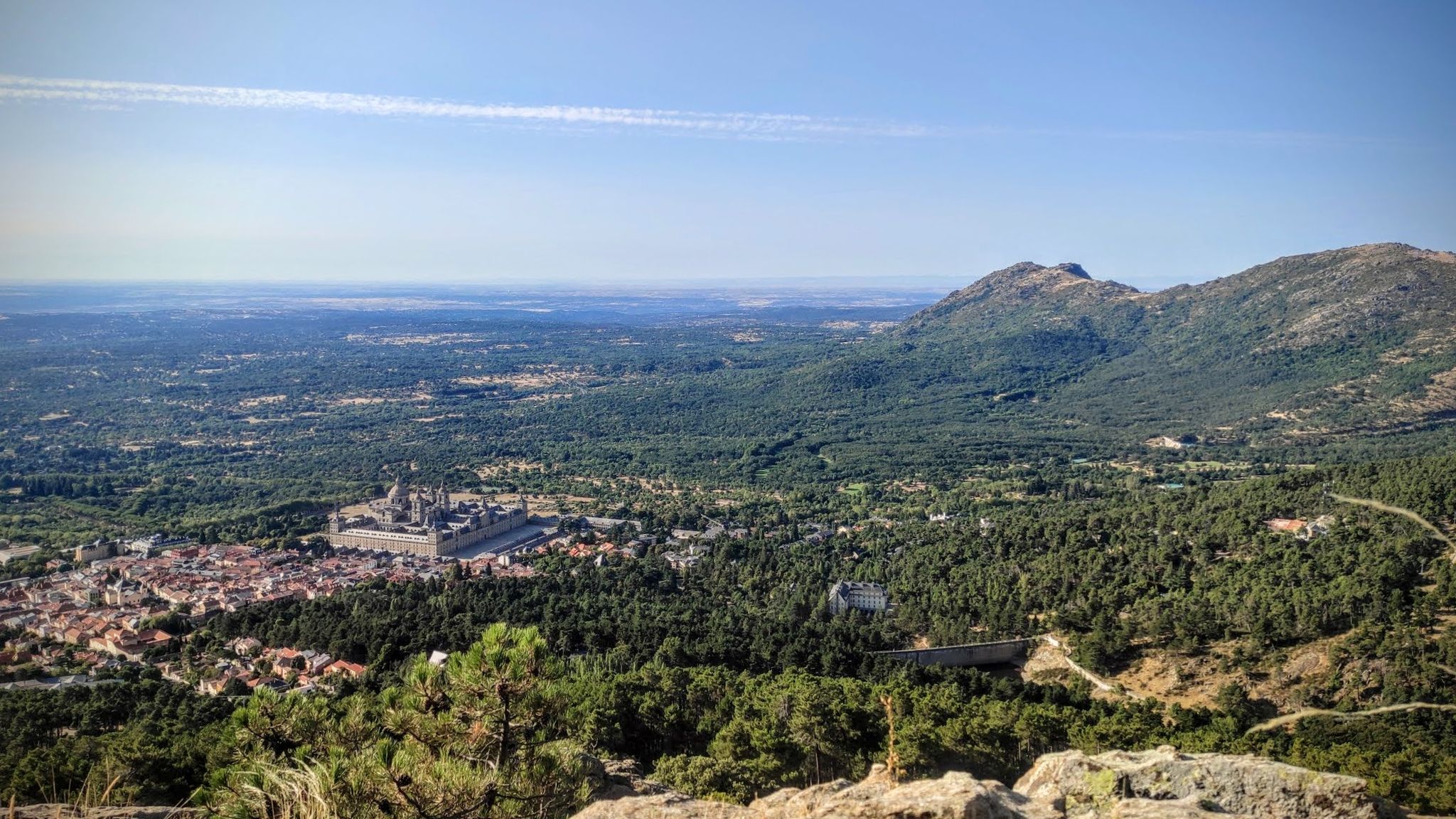
Sierras, countryside, reservoirs and history – Tour of Madrid gravel
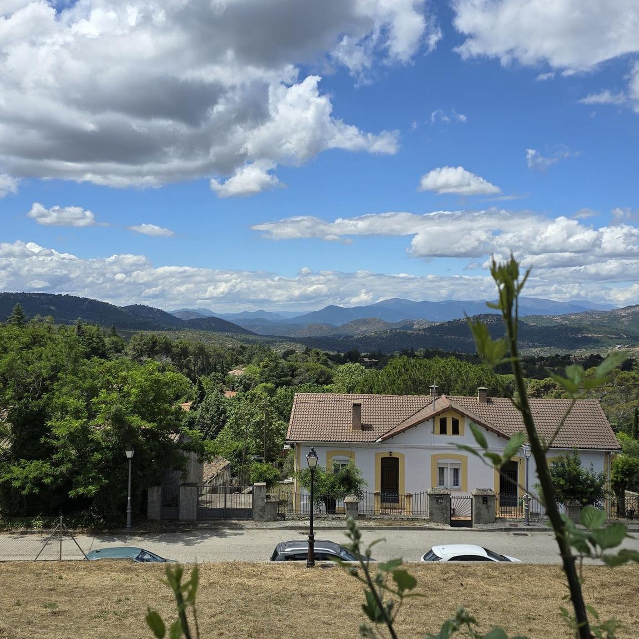
MTB Trails around Robledo De Chavela
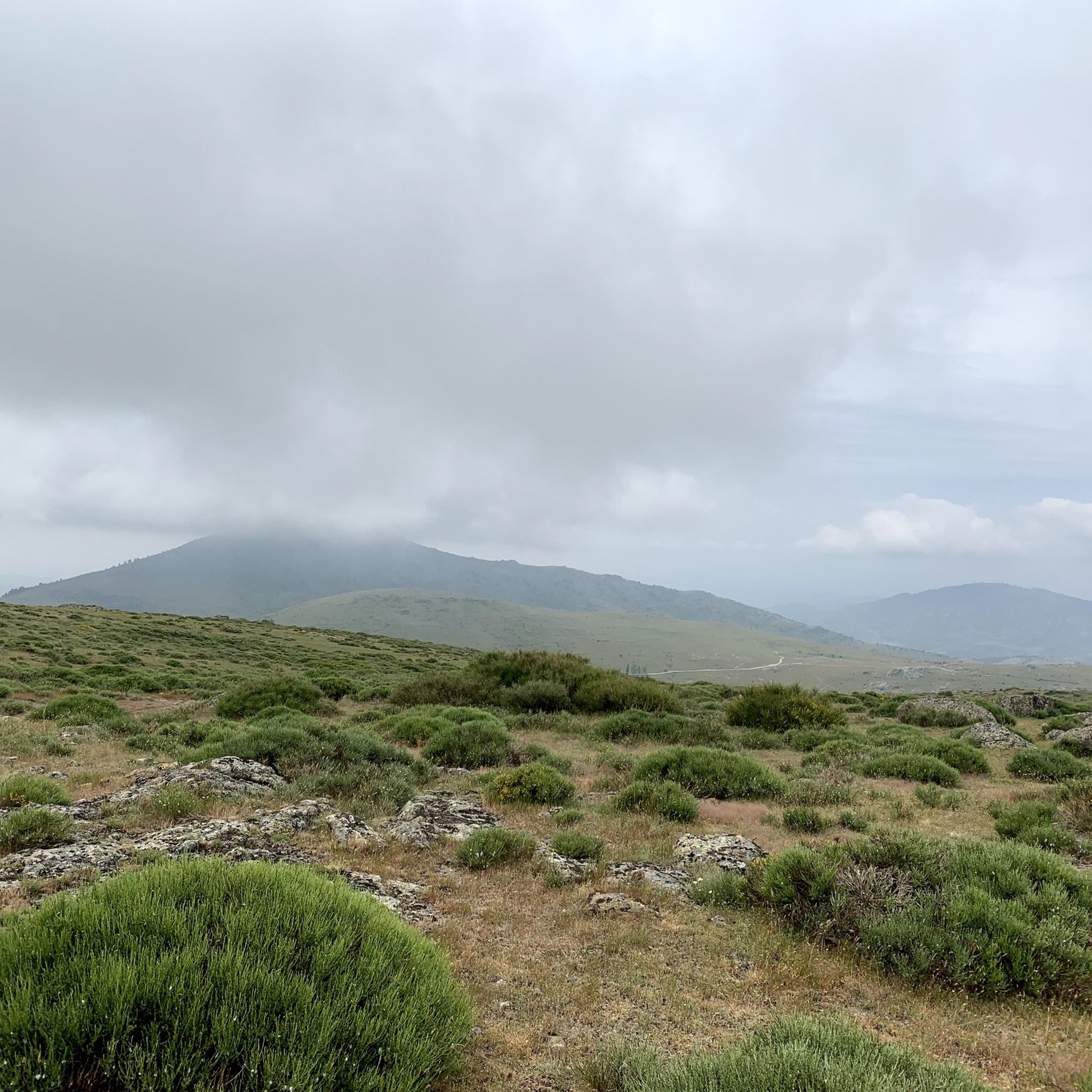
Hiking around Robledo De Chavela

Gravel biking around Robledo De Chavela
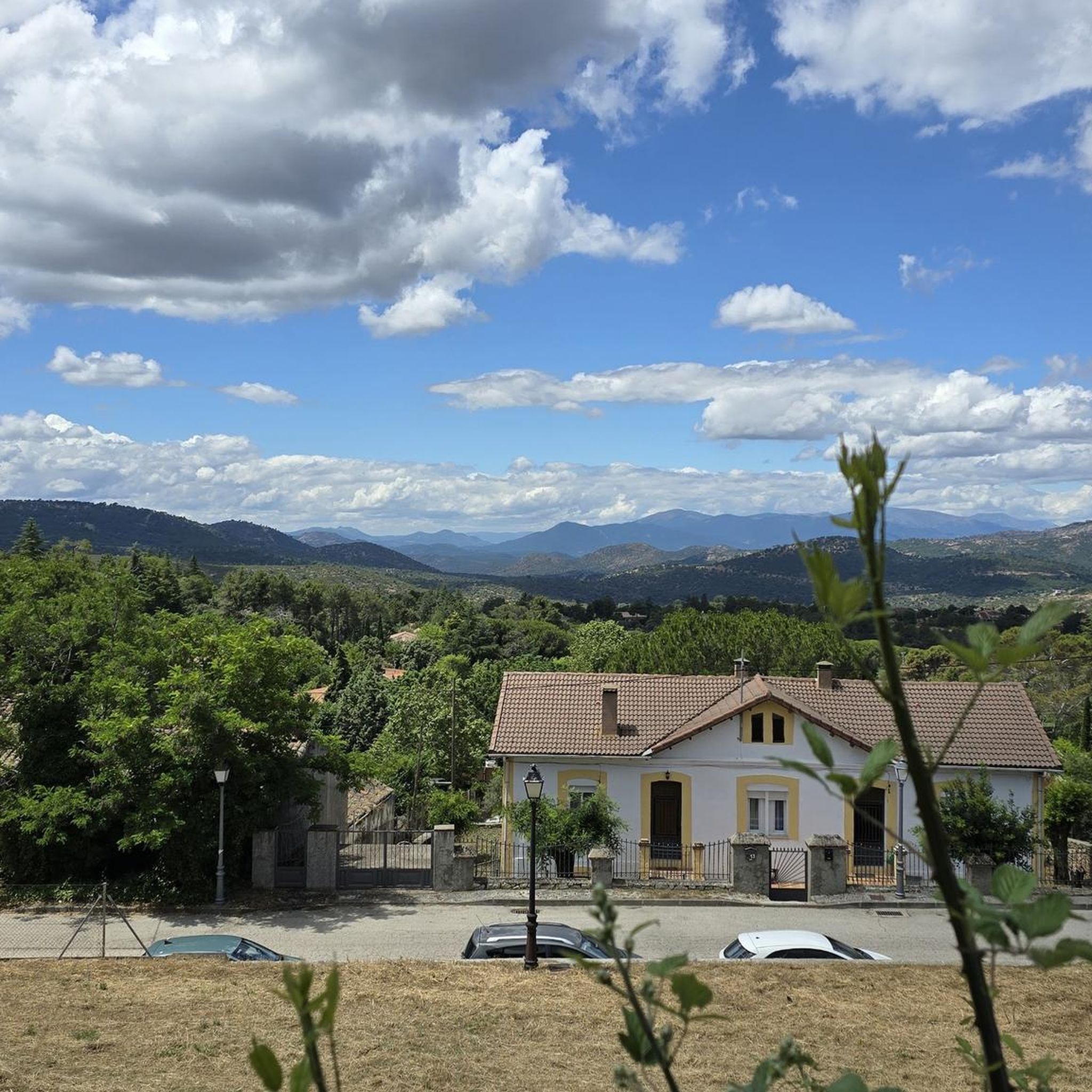
Cycling around Robledo De Chavela
Running Trails around Robledo De Chavela

Tips from the Community

Impressive antenna installation. Beautiful road with little traffic.
0
0

Navalagamella is known for its hiking trails and natural surroundings, perfect for outdoor activities. In addition, its historical and cultural heritage offers an enriching experience for visitors.
6
0

The Hermitage of Santisimo Cristo de Gracia may date from the late 15th century. The ranchers' brotherhood was founded in this hermitage.
1
0

Robledo de Chavela is a crossroads between the high mountains of Guadarrama and the western mountains of Madrid. It is an ideal place for a stop along the way and to get supplies.
0
1

Affordable place to shelter from a storm or sleep. It's a bit dirty, but it cleans up quickly and it's a place recommended by residents of Robledo
0
0

Beautiful mountain pass located in the Sierra de Guadarrama and joining La Cruz de Hierro port, together with La Lancha, create a tough but beautiful route!
0
0
After leaving the town of Urraca Miguel, some immense and long straights appear that take us directly to the Serones Reservoir, located further east.
0
0
From this point before arriving at the town of Hoyo de Pinares. The core, nestled in a small depression, has this name due to the pine forests that are located around the core.
0
0
Frequently Asked Questions
What kind of terrain can I expect on road cycling routes around Robledo De Chavela?
The region offers varied topography, situated between the Guadarrama and Gredos mountain ranges. You'll encounter significant mountainous terrain with peaks like El Almojón and San Benito, as well as diverse ecosystems including oak and stone pine forests, dehesas, and riparian vegetation along the Cofio River. Routes range from moderate climbs to more strenuous ascents.
Are there road cycling routes suitable for beginners or more advanced cyclists?
While many routes feature significant elevation changes, there are options for different ability levels. The area has 9 moderate routes and 12 difficult routes. For example, the Robledo de Chavela, Valdemorillo, Navalagamella – circular route is considered moderate, while the Cruz Verde Pass – La Escondida loop from Robledo de Chavela is a challenging option with substantial elevation gain.
How long do road cycling routes typically take in this area?
Route durations vary significantly based on distance and difficulty. For instance, a moderate route like the Robledo de Chavela, Valdemorillo, Navalagamella – circular route can take around 2 hours 50 minutes, while more difficult and longer routes, such as the Views of Hoyo de Pinares – Puerto de la Lancha loop from Robledo de Chavela, might require over 7 hours to complete.
What natural features or landmarks can I see while road cycling in Robledo De Chavela?
The region is rich in natural beauty. You can encounter extensive oak and stone pine forests, dehesas, and riparian vegetation along the Cofio River. Notable natural landmarks include the Seat of Philip II, a natural viewpoint, and Mount Abantos. The area is also part of the Natura 2000 network, supporting a vibrant bird population.
Are there any specific viewpoints along the road cycling routes?
Yes, several routes offer panoramic views. The Views of Hoyo de Pinares – Puerto de la Lancha loop from Robledo de Chavela is known for its expansive vistas. Additionally, the Seat of Philip II provides sweeping views of the Guadarrama Valley and Sierra de Navacerrada, and the Viewpoint of the city of Madrid – Cruz Verde Pass loop from Robledo de Chavela offers unique perspectives.
Is there parking available for cyclists in Robledo De Chavela?
As a hub for outdoor activities, Robledo De Chavela typically offers public parking options within the town, making it convenient to start your cycling routes. Specific parking details may vary, so it's advisable to check local signage upon arrival.
How can I reach Robledo De Chavela by public transport to access the cycling routes?
Robledo De Chavela is located about 60 kilometers from Madrid. Public transport, such as bus services, connects the town to the capital and surrounding areas, providing an option for cyclists to reach the starting points of various routes without a car.
Are there places to stop for refreshments or accommodation along the routes?
Many routes pass through picturesque villages and near historical sites, offering opportunities to stop for refreshments. Robledo De Chavela itself, and nearby towns like San Lorenzo de El Escorial and San Martín de Valdeiglesias, provide cafes, restaurants, and accommodation options for cyclists.
Are there circular road cycling routes available?
Yes, many of the road cycling routes in Robledo De Chavela are designed as circular loops. Examples include the Robledo de Chavela, Valdemorillo, Navalagamella – circular route and the Cruz Verde Pass – La Escondida loop from Robledo de Chavela, allowing you to start and finish in the same location.
What is the best time of year for road cycling in Robledo De Chavela?
Given its location between mountain ranges, spring and autumn generally offer the most pleasant conditions for road cycling, with milder temperatures and beautiful scenery. Summer can be warm, especially at lower elevations, while winter may bring colder temperatures and potential for snow in higher areas.
Are the road cycling routes in Robledo De Chavela suitable for families?
The road cycling routes in Robledo De Chavela are generally categorized as moderate to difficult, often involving significant elevation changes and longer distances. While some sections might be manageable, families with younger children or those seeking very easy, flat rides might find these routes challenging. It's best to review individual route profiles for suitability.
Can I bring my dog on road cycling routes in Robledo De Chavela?
Road cycling routes are typically designed for human cyclists and may not be suitable for dogs, especially given the distances, speeds, and potential traffic. While the region is environmentally protected and rich in wildlife, it's generally recommended to explore dog-friendly hiking or walking trails if you wish to bring your pet, rather than road cycling routes.
How many road cycling routes are available in Robledo De Chavela?
There are over 20 road cycling routes available around Robledo De Chavela, offering a wide variety of distances and difficulty levels to explore the region's diverse landscapes.
What do other road cyclists enjoy the most about road cycling in Robledo De Chavela?
The area is highly rated by the komoot community, with an average score of 3.25 stars from over 7 reviews. Cyclists often praise the varied topography, the scenic routes through oak and stone pine forests, and the challenging ascents like the Cruz Verde Pass, which offer rewarding panoramic views.
Most popular routes around Robledo De Chavela
Most popular attractions around Robledo De Chavela

Get inspired with the komoot mobile app


Explore more
Browse the best Road cycling routes in other regions.
