The best MTB trails around Artesa De Segre
4.7
(63)
1,148
riders
23
rides
Mountain bike trails around Artesa De Segre are set within a diverse and tranquil natural environment, characterized by the Montsec and Comiols mountain ranges, and the Segre river valley. This pre-Pyrenean region offers varied terrain, from undulating paths along watercourses to more strenuous climbs in the mountains. The landscape provides a mix of trails, including singletracks and paths connecting historical sites and small villages.
Best mountain bike trails around Artesa De Segre
- The most popular mountain bike trail is Artesa…
Last updated: June 28, 2026
Moderate mountain bike ride. Good fitness required. Advanced riding skills necessary.
4.8
(5)
118
riders
48.3km
04:44
1,000m
1,000m
Hard mountain bike ride. Very good fitness required. Advanced riding skills necessary.

Sign up for free
5.0
(1)
94
riders
Hard mountain bike ride. Very good fitness required. Advanced riding skills necessary.
4.7
(3)
46
riders
41.6km
04:11
1,190m
1,190m
Hard mountain bike ride. Very good fitness required. Suitable for all skill levels.
5.0
(1)
16
riders
46.9km
03:36
510m
510m
Moderate mountain bike ride. Good fitness required. Suitable for all skill levels.
Get access to more routes and recommendations from other explorers.
Sign up for free
Already have an account?
Our route recommendations are based on thousands of hikes, rides, and runs completed by other people on komoot.
Start today with a free account
Your next adventure awaits.
Login or Signup

Tips from the Community

Good refuge Water from a cistern (rainwater), amazing view, well-maintained refuge
0
0

The Canal d'Urgell is a hydraulic infrastructure intended for irrigation, which carries water from the Segre River to the fields of crops in different municipalities in the counties of Urgell, Pla d'Urgell, Noguera, Segrià and Garrigues, with a total irrigated area of about 70,000 hectares and serving about 77,000 inhabitants. This infrastructure is on the left bank of the Segre River. It begins in the Segre River downstream of the town of Ponts and after traveling about 144 km it ends its route in the town of Montoliu de Lleida. Source: Wikipedia.
0
0
Sports area for kayaking and rafting on the Segre River, near the Roca del Call Park, in the town of Ponts. It is also the starting point of the Ranxo Gravel walk.
0
0
Small wooden bridge that allows you to cross the Llobregós at the level of its confluence with the Segre River.
0
0
It begins on the Segre River downstream from the town of Ponts and after traveling about 144 km it ends its route in the town of Montoliu de Lleida.
0
0
Small town located on top of a hill, abandoned, and part of the La Noguera region.
0
0

From the main road you cannot appreciate the rustic beauty of this town on the plain of Lleida. It is worth entering the town and walking through the streets of the historic center.
0
0

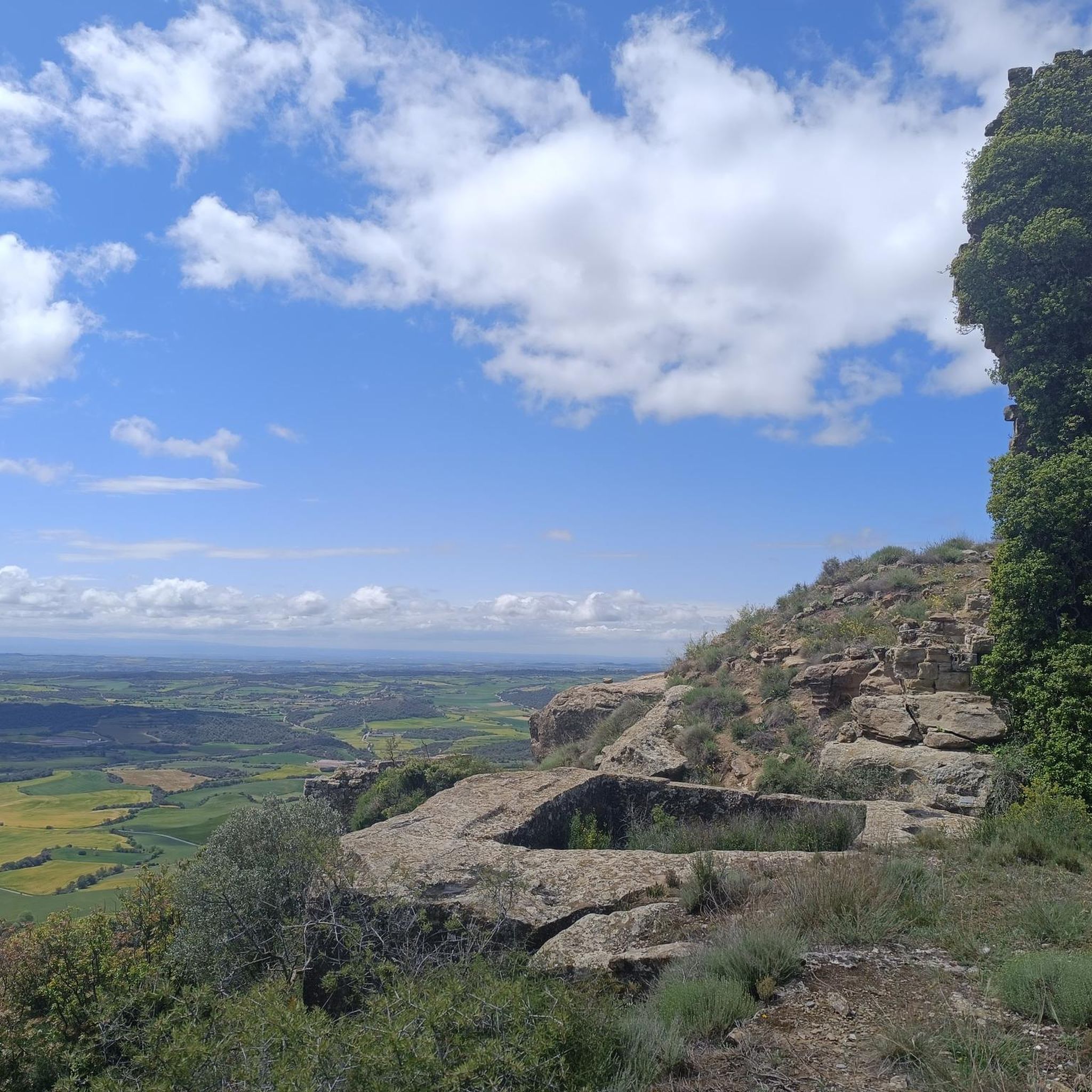
Within the municipality of Oliola, we find this abandoned town, on top of a small hill. Much of the town is already in ruins. There is a church dedicated to the Madre de Dios del Carme.
2
0
Frequently Asked Questions
How many mountain bike trails are available in Artesa De Segre?
Artesa De Segre offers a network of 23 mountain bike trails. These routes cater to various skill levels, with 16 moderate and 6 difficult options, ensuring there's something for every mountain biker.
Are there any easy mountain bike trails for beginners or families?
Yes, Artesa De Segre has 1 easy mountain bike trail. While the majority are moderate to difficult, this option provides a gentler introduction to the region's beautiful landscapes, suitable for beginners or families looking for a less strenuous ride.
What kind of terrain can I expect on mountain bike trails in Artesa De Segre?
The terrain in Artesa De Segre is highly varied, ranging from undulating paths along the Segre river valley to more strenuous climbs within the Montsec and Comiols mountain ranges. You'll encounter a mix of singletracks and wider paths, often connecting historical sites and small villages, offering both technical challenges and scenic cruising.
Are there any circular mountain bike routes in Artesa De Segre?
Yes, many routes in Artesa De Segre are circular. For example, the popular Artesa de Segre - Montclar - La Donzell - Claret - Oliola — Ruta circular Sierra de Montclar is a moderate 41 km loop that explores the Sierra de Montclar. Another challenging option is the View from Lo Castellot – Plaza Mayor Artesa de Segre loop from Artesa de Segre, a difficult 48 km route with significant elevation gain.
What are some challenging mountain bike routes for experienced riders?
Experienced riders seeking a challenge will find several difficult routes. The Alòs de Balaguer – Sant Mamet Summit loop from Baldomar is a demanding 41 km trail with over 1190 meters of elevation gain. Another option is the Plaza Mayor Artesa de Segre – View from Lo Castellot loop from Artesa de Segre, a 46 km route featuring notable climbs.
What do other mountain bikers enjoy most about the trails in Artesa De Segre?
The mountain bike trails in Artesa De Segre are highly rated by the komoot community, with an average score of 4.8 stars from over 60 reviews. Riders often praise the varied terrain, the tranquility of the natural environment, and the scenic views offered by the Montsec and Comiols mountain ranges.
Are there any historical sites or landmarks I can see along the mountain bike trails?
Yes, the region is rich in history. Many trails connect to or pass by historical sites and charming villages. You can explore places like Florejacs Castle, Alòs de Balaguer Castle, or the Ruins of San Vicente de Almenara. The Sant Jordi Hermitage also offers a cultural point of interest.
What natural attractions can I discover while mountain biking in Artesa De Segre?
Beyond the stunning mountain ranges, you can discover natural attractions such as the Cova del Tabac (a cave) or ride through the scenic Segre river valley. The Coll de Comiols mountain pass also offers expansive views of the surrounding landscape.
What is the best time of year for mountain biking in Artesa De Segre?
Artesa De Segre's diverse landscape makes it suitable for mountain biking across various seasons. Spring and autumn generally offer pleasant temperatures and vibrant scenery. While specific winter conditions are not detailed, the pre-Pyrenean ranges suggest that higher elevations might experience colder weather or snow, so checking local forecasts is advisable during those months.
Are there any routes that follow watercourses or canals?
Yes, the Segre river flows through the valley, and the Urgell canal also runs through the municipality, providing opportunities for gentler rides. The Wooden Bridge – Canal Rapids loop from el Pont d'Alentorn is a moderate 43 km route that incorporates elements of these water features, offering a different kind of scenic experience.
What is the typical duration for mountain bike trails in Artesa De Segre?
The duration of mountain bike trails in Artesa De Segre varies significantly based on difficulty and distance. Moderate routes, such as the 41 km Artesa de Segre - Montclar - La Donzell - Claret - Oliola — Ruta circular Sierra de Montclar, typically take around 3.5 hours. More difficult routes, like the 48 km View from Lo Castellot – Plaza Mayor Artesa de Segre loop from Artesa de Segre, can take closer to 4.5 hours or more, depending on your pace and stops.
Most popular routes around Artesa De Segre
Most popular attractions around Artesa De Segre

Get inspired with the komoot mobile app


Explore more
Browse the best MTB trails in other regions.
