The best walks and hikes around Gavet De La Conca
4.2
(88)
536
hikers
64
hikes
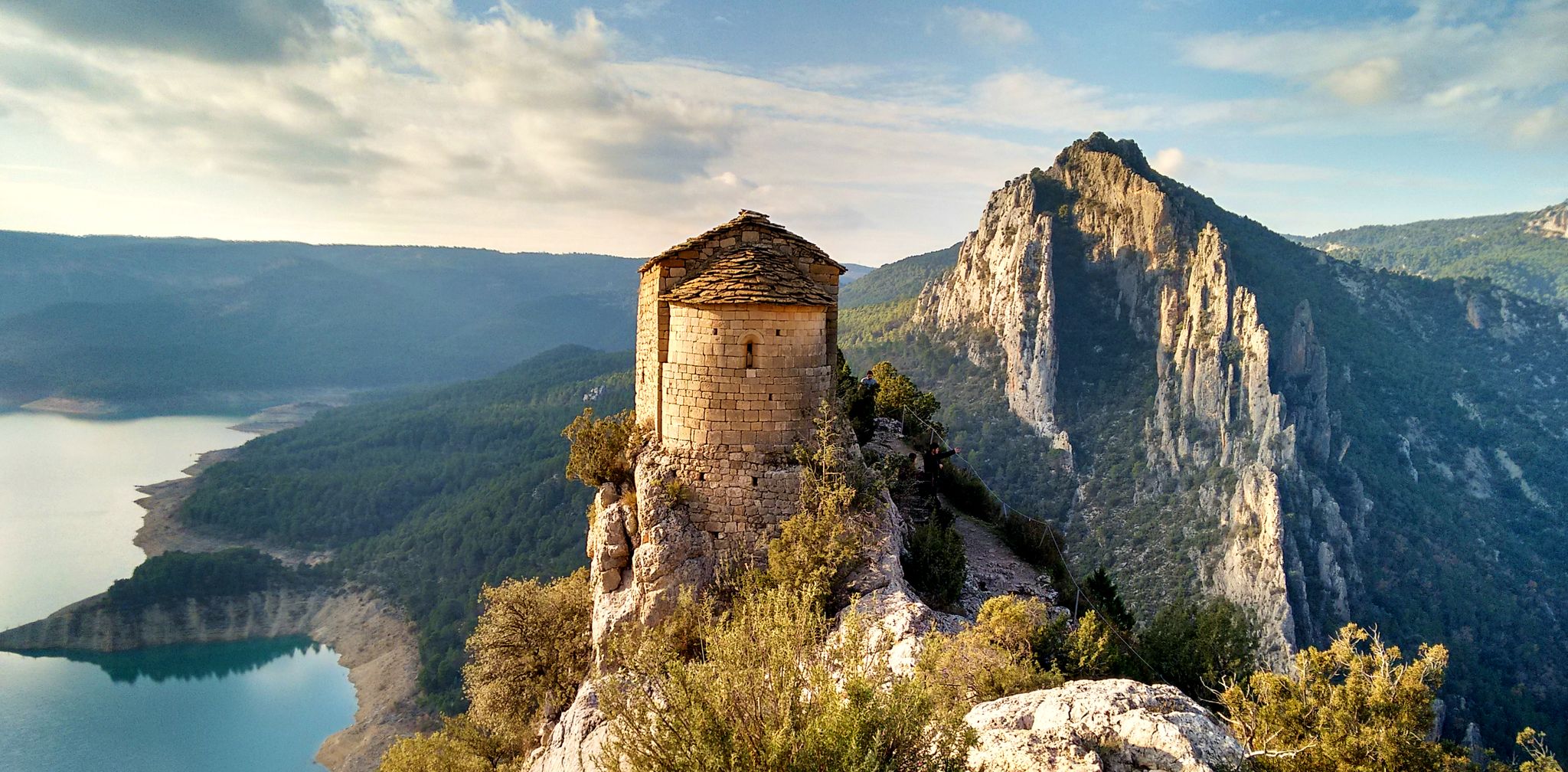
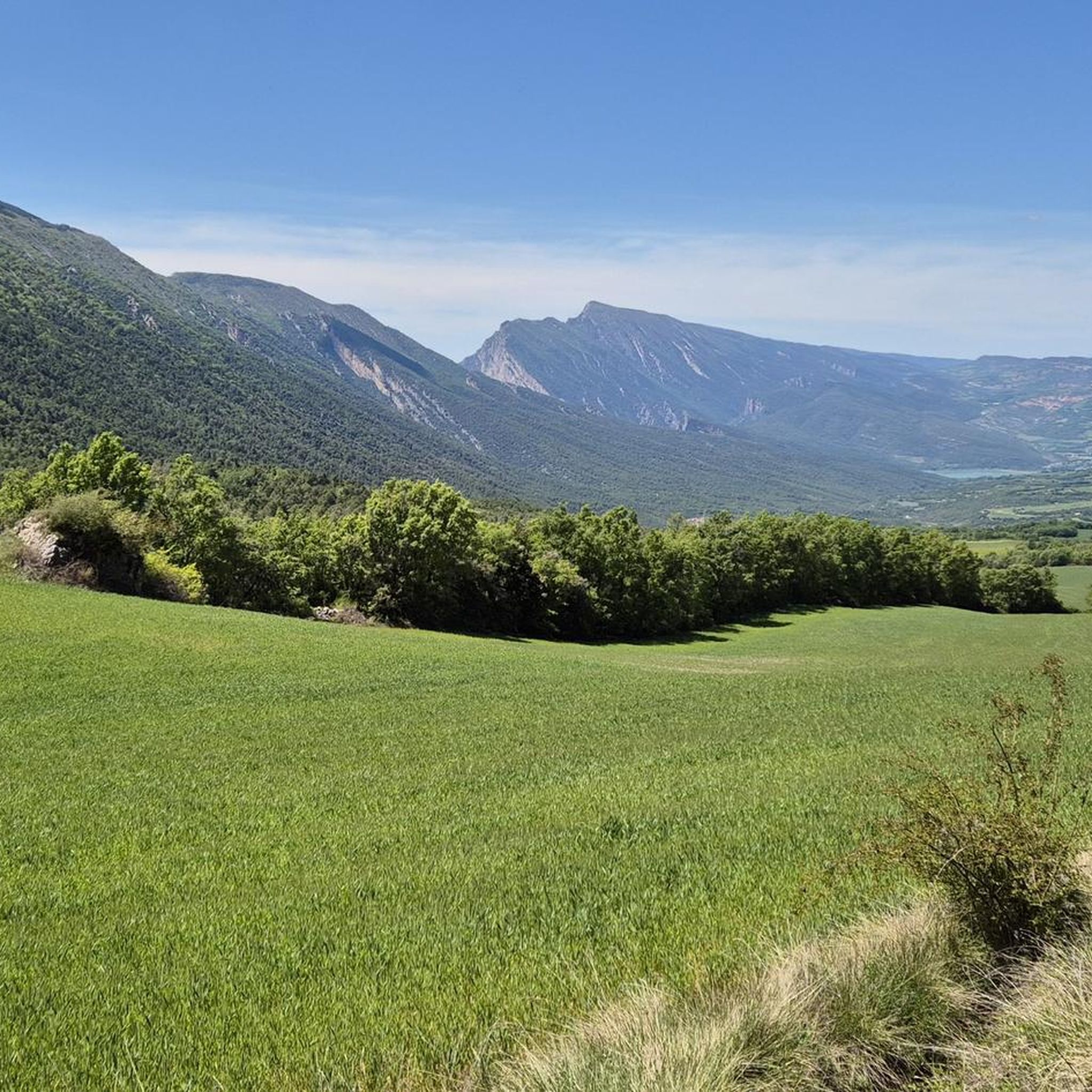
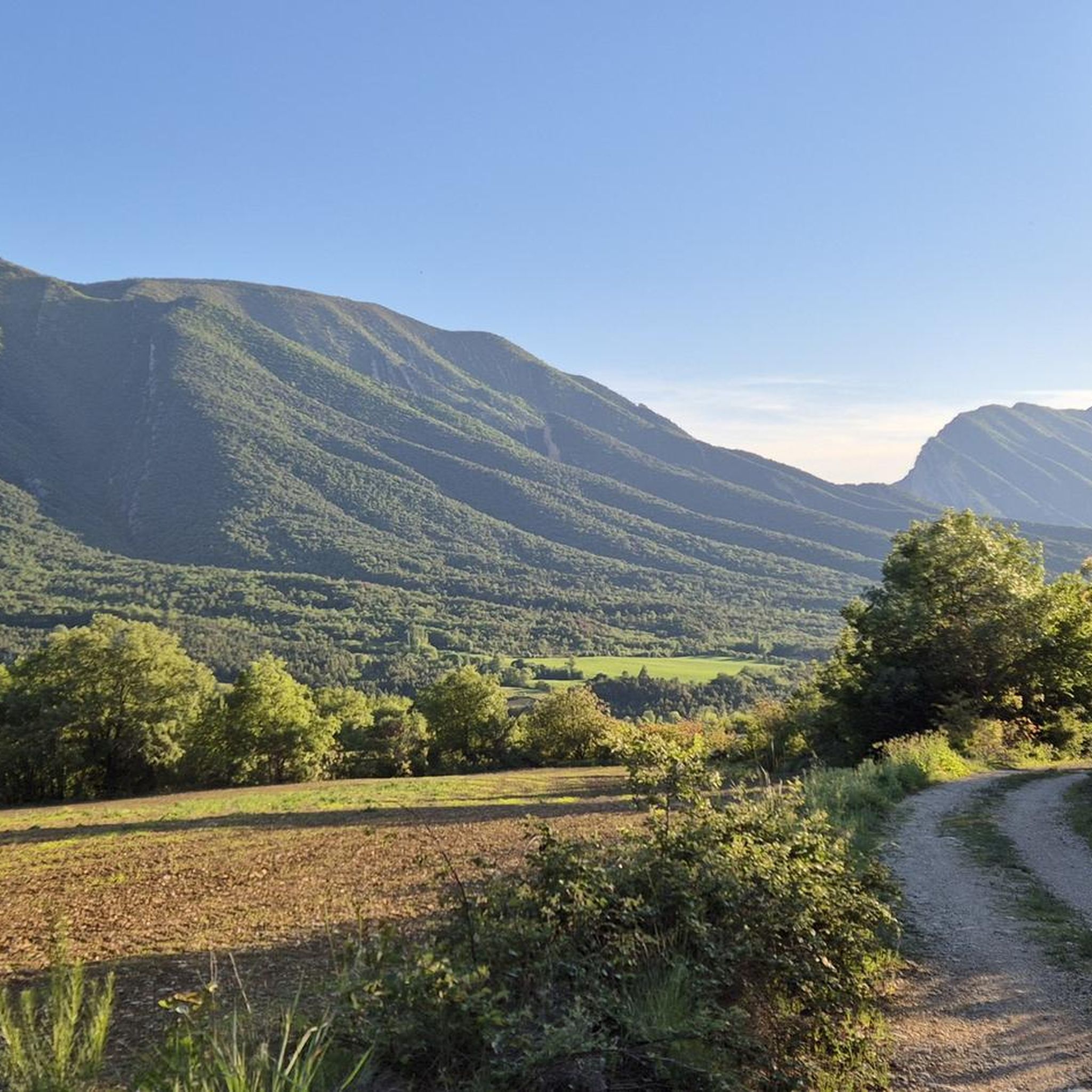
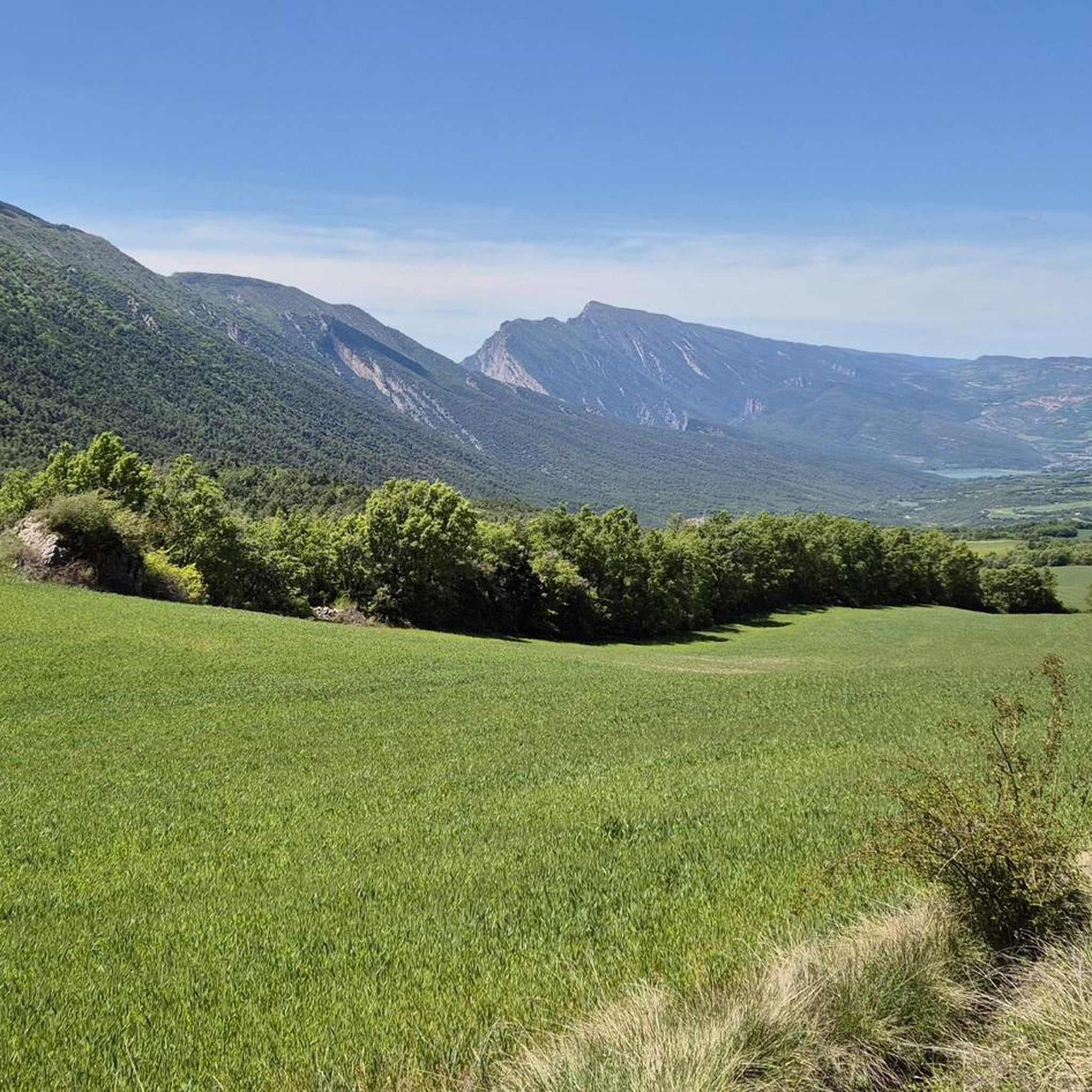
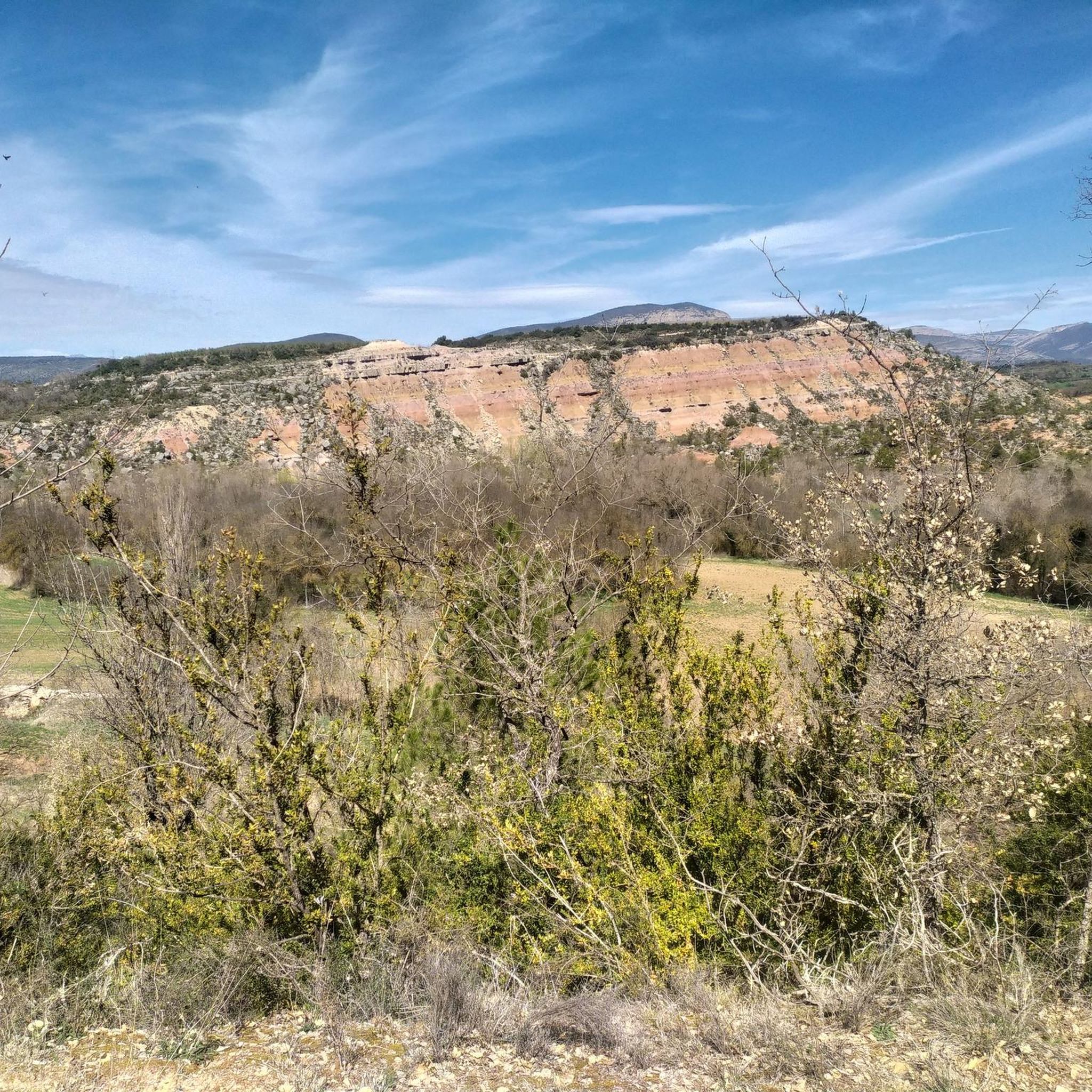
Hiking around Gavet De La Conca offers diverse terrain characterized by rugged hills, rocky outcrops, and scenic valleys. The region features a mix of open landscapes and forested areas, providing varied environments for outdoor exploration. Elevations range across the area, with several prominent hills and ridges defining the hiking experience.
Best hiking trails around Gavet De La Conca
- The most popular hiking route is Collado de Comiols y Roc de Benavent — circular por Roca Roja, a 8.6 miles…
Last updated: June 24, 2026
5.0
(4)
14
hikers
13.8km
04:06
370m
370m
Moderate hike. Good fitness required. Mostly accessible paths. Sure-footedness required.
3
hikers
18.5km
06:04
730m
730m
Hike the challenging 11.5-mile circular route through Montsec de Rúbies, featuring rugged terrain, panoramic views, and Montllor Castle ruin

Sign up for free
13.3km
03:53
370m
370m
Hike the moderate 8.2-mile (13.3 km) Gramenet and Sant Salvador de Toló circular route, featuring historical sites and diverse landscapes.
3.0
(1)
11
hikers
18.5km
05:33
610m
610m
Hard hike. Very good fitness required. Easily-accessible paths. Suitable for all skill levels.
9
hikers
14.9km
05:06
600m
610m
Hard hike. Very good fitness required. Mostly accessible paths. Sure-footedness required.
Get access to more routes and recommendations from other explorers.
Sign up for free
Already have an account?
Our route recommendations are based on thousands of hikes, rides, and runs completed by other people on komoot.
Start today with a free account
Your next adventure awaits.
Login or Signup
Popular around Gavet De La Conca

Other adventures around Gavet De La Conca

Tips from the Community

Next to the Coll d'Ares, it is the most iconic port in the Montsec mountain range and the Lleida Pre-Pyrenees. The views from above, either towards the Pyrenees and the Isona and Tremp valley, as well as the Plana de Lleida, are magnificent. It is a port with 4 aspects, each one different: - The southern slope, which begins in Artesa de Segre, is almost 24 km long and runs along a road with a lot of traffic, very wide and with long straights. After passing the town of Folquer, you face the hardest section of the climb, now with continuous curves and horseshoes, although with a road that is still very wide. The best are the views of the Lleida plain. It is not a side that I like since it is very stinky. - The southeast slope, the one that begins in Pons, is longer than the previous one, with 29 km. It has 2 rest sections, with some descent, and the road is narrow and twisty. There are good views along the climb. This slope joins the southern slope that comes from Artesa de Segre at the height of Folquer, where the hardest 7 km remain until reaching the top of the pass. - The main northern slope begins in Tremp and is 28.2 km. It is similar to the Artesa de Segre slope, with a similar gradient and a wide, busy road with a progressive slope, although it is true that there are no kilometers that reach 7%. I don't like. - The northwest slope, which also begins in Tremp, takes the old road that goes up through the town of Sant Salvador de Toló. It is a climb without traffic, on an irregular asphalt road, one of the old ones, which is grippy and difficult to roll, but in good condition. If you plan to go up to Comiols on the northern slope, you have to do it here and forget about the slope that runs along the main road.
0
0

The name of Sant Salvador is due to the dedication of the parish of the town. Toló comes from the name of the castle around which the old town was formed.
0
0
The center of Gramanet is located about two kilometers west of Benavent and about two kilometers south of Covet, in an area of depression and agricultural fields that in the rainy and spring seasons, it is very beautiful to walk around!
0
0
Small town located below the Coll de Comiols and at the foot of the Roc de Benavent, a stone structure that can be reached on foot from the town itself.
0
0
There is a viewpoint that is located at the edge of the cliff and that provides a space of tranquility enjoying one of the best views in the area.
0
0
La Roca Roja is a mountain of 1,239 meters that is located just above the town of Benavent de la Conca and that gives impressive views of the Conca de Tremp
1
0
La Portella Blanca is a hill located at 1,442.7 meters above sea level on the border between the municipalities of Camarasa, in La Noguera, and Llimiana, in Pallars Jussà.
0
0
A Tossal is a "hill" in Spanish, and this is located in the west direction of the Mirapallars, both almost at the same altitude, above sixteen hundred meters high.
0
0
Frequently Asked Questions
How many hiking trails are available in Gavet De La Conca?
Gavet De La Conca offers a wide selection of hiking opportunities, with over 60 routes available. These trails cater to various skill levels, from easy walks to more challenging excursions.
Are there easy hiking trails suitable for beginners or families in Gavet De La Conca?
Yes, Gavet De La Conca has 14 easy hiking trails, perfect for beginners or families looking for a relaxed outdoor experience. These routes typically feature gentler terrain and shorter distances.
What are some of the more challenging hiking routes in Gavet De La Conca?
For experienced hikers seeking a challenge, there are 17 difficult routes. One notable option is the GR 1 Historic Trail: Montsec de Rúbies Loop, an 11.5-mile (18.5 km) path with significant elevation changes and expansive mountain scenery.
Are there circular hiking routes in Gavet De La Conca?
Yes, many trails in the region are circular. For example, the Collado de Comiols y Roc de Benavent — circular por Roca Roja offers panoramic views, and the Sant Salvador de Toló and Gramenet Loop takes you through varied landscapes.
What do other hikers say about the trails in Gavet De La Conca?
The hiking trails in Gavet De La Conca are highly regarded by the komoot community, holding an average rating of 4.3 stars from over 70 reviews. Hikers often praise the diverse terrain, from rocky hills to historic paths, and the varied natural landscapes.
What kind of natural landscapes can I expect to see while hiking?
The region is characterized by rugged hills, rocky outcrops, and scenic valleys. You'll encounter a mix of open landscapes and forested areas, with prominent hills and ridges defining the views.
Are there any interesting landmarks or attractions near the hiking trails?
Yes, there are several points of interest. You can visit Coll de Comiols, a mountain pass offering great views, or the natural monument Font de la O. The historic Salàs de Pallars Historic Village and the Talarn Railway Bridge are also nearby.
Is Gavet De La Conca suitable for dog-friendly hiking?
While specific dog-friendly regulations can vary by trail, many natural areas in Gavet De La Conca are generally welcoming to dogs, especially if kept on a leash. Always check local signage and be mindful of wildlife and other hikers.
What is the best time of year to go hiking in Gavet De La Conca?
The best time for hiking in Gavet De La Conca is typically during spring and autumn when temperatures are milder and the landscapes are vibrant. Summer can be hot, especially at lower elevations, while winter offers a different, often quieter, experience, though some higher routes may be affected by weather.
Are there any facilities like cafes or restaurants near the hiking routes?
Gavet De La Conca is a rural area, so facilities like cafes and restaurants are generally found in the main villages or towns. It's advisable to carry sufficient water and snacks, especially on longer routes, and plan your stops accordingly.
Where can I find parking for the hiking trails?
Parking availability varies by trailhead. Many routes start from villages or designated parking areas. It's recommended to check the specific route details on komoot for information on starting points and potential parking options before you head out.
What kind of wildlife might I encounter on the trails?
Given the region's diverse natural landscapes, hikers might spot various bird species, small mammals, and reptiles. The rugged terrain and forested areas provide habitats for local fauna, offering opportunities for wildlife observation, particularly in quieter areas.
Most popular routes around Gavet De La Conca
Most popular attractions around Gavet De La Conca

Get inspired with the komoot mobile app


Explore more
Browse the best Hikes in other regions.
