The best MTB trails around Alamedilla
32
riders
3
rides
Mountain bike trails around Alamedilla offer a diverse landscape for riders. The region features a mix of arid terrain, such as the Desierto de Gorafe, alongside areas with more varied elevation. Riders can expect routes that traverse open landscapes and provide views of the surrounding natural features. The area's topography includes moderate climbs and descents, suitable for different skill levels.
Best mountain bike trails around Alamedilla
- The most popular mountain bike trail is Los Colorados – circular desde Villanueva de…
Last updated: May 15, 2026
6
riders
Moderate mountain bike ride. Good fitness required. Suitable for all skill levels.
22
riders
44.5km
04:08
800m
800m
Moderate mountain bike ride. Good fitness required. Suitable for all skill levels.

Sign up for free
2
riders
16.0km
01:21
230m
230m
Easy mountain bike ride. Great for any fitness level. Suitable for all skill levels.
2
riders
44.9km
03:29
750m
750m
Moderate mountain bike ride. Good fitness required. Suitable for all skill levels.
Our route recommendations are based on thousands of hikes, rides, and runs completed by other people on komoot.
Start today with a free account
Your next adventure awaits.
Login or Signup
Popular around Alamedilla
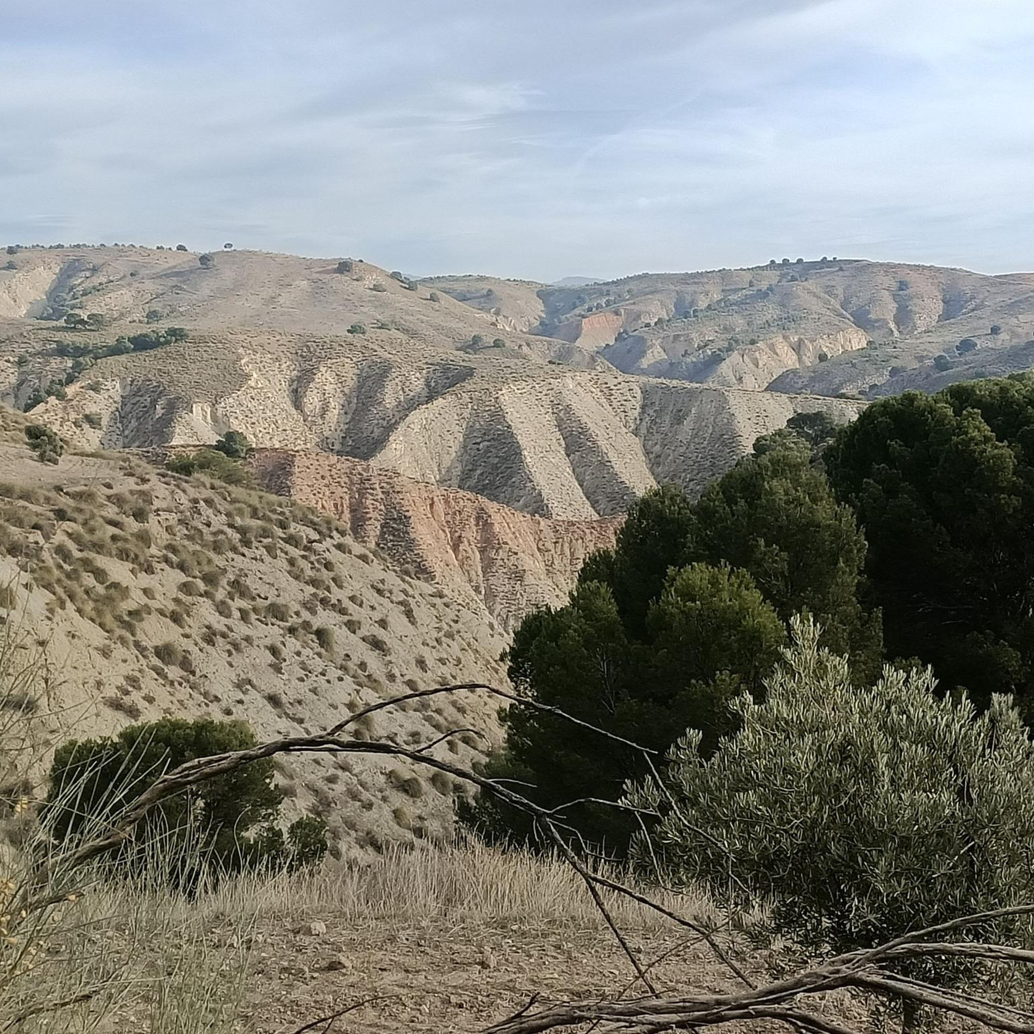
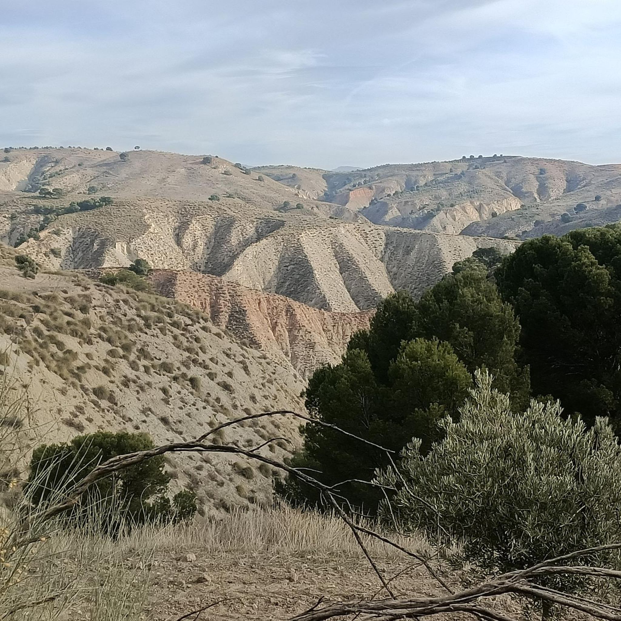
Tips from the Community

The 47 km loop is breathtaking for about half of the tour: mind-blowing views as far as the eye can see over 360°. Then in the second part, lots of roads that climb constantly... you have to be in good shape for this loop. The little extra: the tapas bar in the city center after that.
1
0

Surrounded by an impressive landscape, the town is located at an altitude of 633 meters, in a valley near the Fardes River. The town is located within the UNESCO World Geopark of Granada, where the archaeological site of the Gorafe Megalithic Park is located. As a curiosity, the municipality is also popularly known as 'The town of the three lies' because it is not a town, nor is it new, nor does it have towers.
1
0

The view is just mind-blowing! This is truly gravel riding paradise.
2
0
Beautiful area of clayey soil located in Gorafe. It receives the name of Los Coloraos due to the color of the geological formations. Sunrise and sunset are especially ideal to enjoy this natural wonder in all its splendor.
4
0

Cabra del Santo Cristo is located in the Sierra Mágina, a massif that exceeds two thousand meters in height. The town is located in a hollow, surrounded by mountains and on one of the slopes that reach the Rambla del Royo.
0
0

The gorges/canyons of this unique landscape never cease to amaze. Great conditions for gravel riders and mountain bikers. When it rains or shortly after it rains, it can get quite muddy/sticky, so caution is advised.
5
0

If it's raining or has recently rained, don't even think about going down the ravines: it's impossible to pedal on such sticky clay.
9
0

The track goes down the desolate Loma de las Yeguas and enters the Los Coloraos desert, the environmental heart of the Gorafe desert steppes. The name is due to the ocher, yellow and reddish color of the clay soils that build the reliefs of the unique landscape, used in countless locations for movies and television commercials. The trail deviates from the main route to visit a group of more spectacular clay towers and continues through colored gullies.
3
0
Frequently Asked Questions
How many mountain bike trails are available around Alamedilla?
There are currently 3 mountain bike trails documented on komoot around Alamedilla. These routes offer a mix of easy and moderate difficulties, catering to various skill levels.
What kind of terrain can I expect on mountain bike trails around Alamedilla?
The region features a mix of arid terrain, notably the Desierto de Gorafe, alongside areas with more varied elevation. Riders can expect routes that traverse open landscapes and provide views of the surrounding natural features, with moderate climbs and descents.
Are there easy mountain bike trails suitable for beginners in Alamedilla?
Yes, there is at least one easy mountain bike trail. For example, the Balsa de repelón – Mirador de la Escalerilla loop from Pedro Martínez is an easy 9.9-mile (16.0 km) trail, often completed in about 1 hour 21 minutes, leading through varied terrain.
Are there any challenging mountain bike trails for experienced riders?
While there are no trails classified as 'difficult' in this guide, experienced riders can enjoy moderate routes with significant elevation gain. The Mirador de la Escalerilla loop from Pedro Martínez, for instance, is a 27.6-mile (44.5 km) moderate path featuring substantial elevation gain and expansive views.
Are there circular mountain bike routes available in Alamedilla?
Yes, several routes around Alamedilla are circular, allowing you to start and end in the same location. A popular option is Los Colorados – circular desde Villanueva de las Torres por el Desierto de Gorafe, a 19.1-mile (30.7 km) moderate route traversing the unique Desierto de Gorafe.
What natural features or viewpoints can I see along the mountain bike trails?
Many routes offer scenic views, particularly from elevated points. The Mirador de la Escalerilla loop from Pedro Martínez provides expansive views from the Mirador de la Escalerilla. Additionally, trails often traverse the unique arid landscapes of the Desierto de Gorafe.
What are some interesting places to explore near the mountain bike trails?
Beyond the trails, you can explore several nearby attractions. Consider visiting the Parish Church of Santa Ana in Villanueva de la Torre, or the natural monument of Acequia del Toril. The Alicún de las Torres Thermal Springs also offer a unique natural experience.
What is the best time of year for mountain biking in Alamedilla?
Given the arid landscapes, spring and autumn generally offer the most pleasant conditions for mountain biking in Alamedilla, with milder temperatures. Summers can be very hot, and winters can be cooler, so checking the local weather forecast is always recommended.
Are there any routes that pass through the Desierto de Gorafe?
Yes, the Los Colorados – circular desde Villanueva de las Torres por el Desierto de Gorafe route specifically traverses the unique Desierto de Gorafe, offering riders a chance to experience its distinctive arid landscape.
What do other mountain bikers say about the trails in Alamedilla?
Over 30 mountain bikers have used komoot to explore Alamedilla's varied terrain. While specific reviews are not detailed here, the community frequently praises the unique arid landscapes and the opportunities for scenic views from elevated points.
Are there any routes starting from Pedro Martínez?
Yes, two popular routes start from Pedro Martínez: the Mirador de la Escalerilla loop from Pedro Martínez and the Balsa de repelón – Mirador de la Escalerilla loop from Pedro Martínez. Both offer distinct experiences of the local landscape.
Most popular routes around Alamedilla
Most popular attractions around Alamedilla

Get inspired with the komoot mobile app


Explore more
Browse the best MTB trails in other regions.
