The best walks and hikes around Vilassar De Dalt
4.3
(163)
1,355
hikers
25
hikes
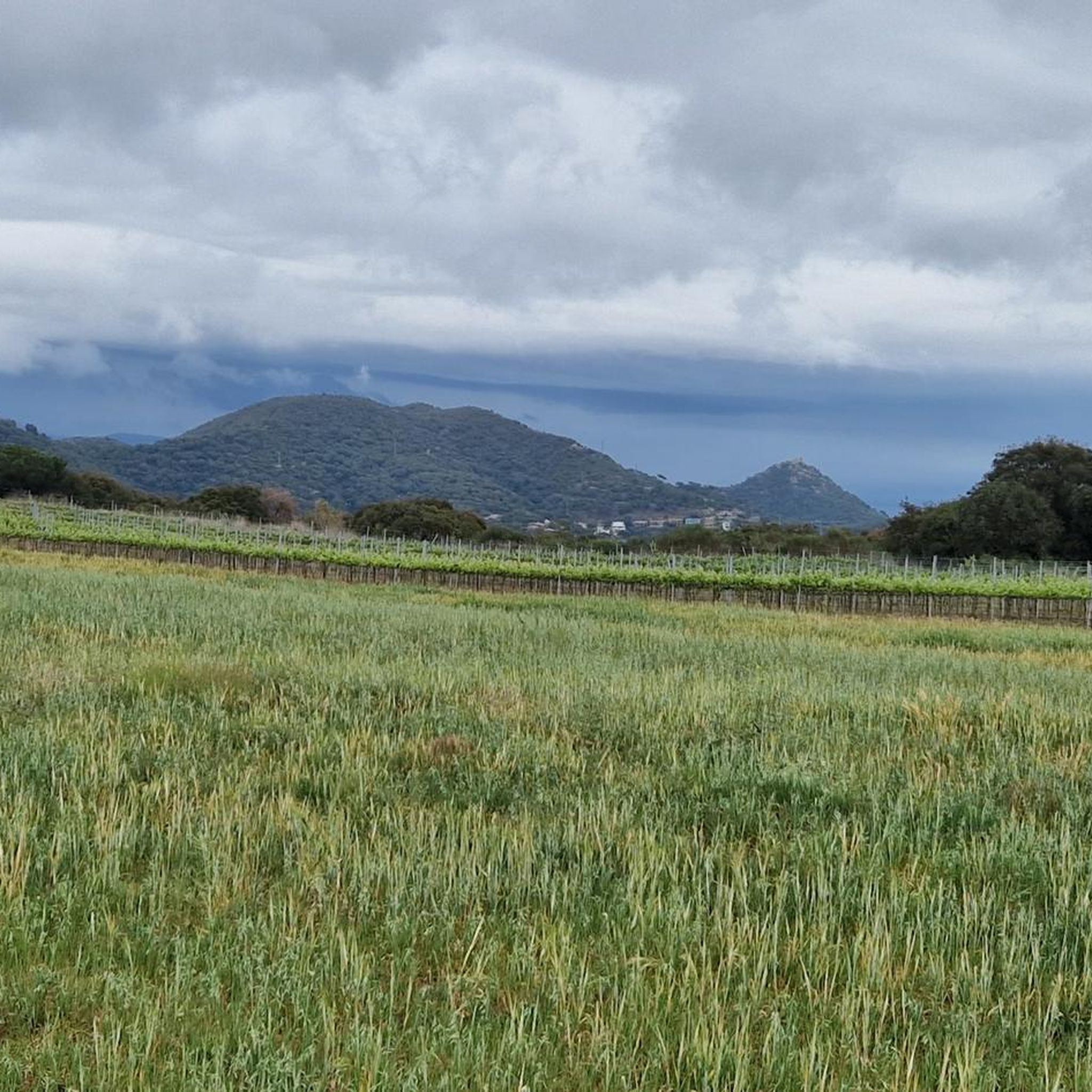
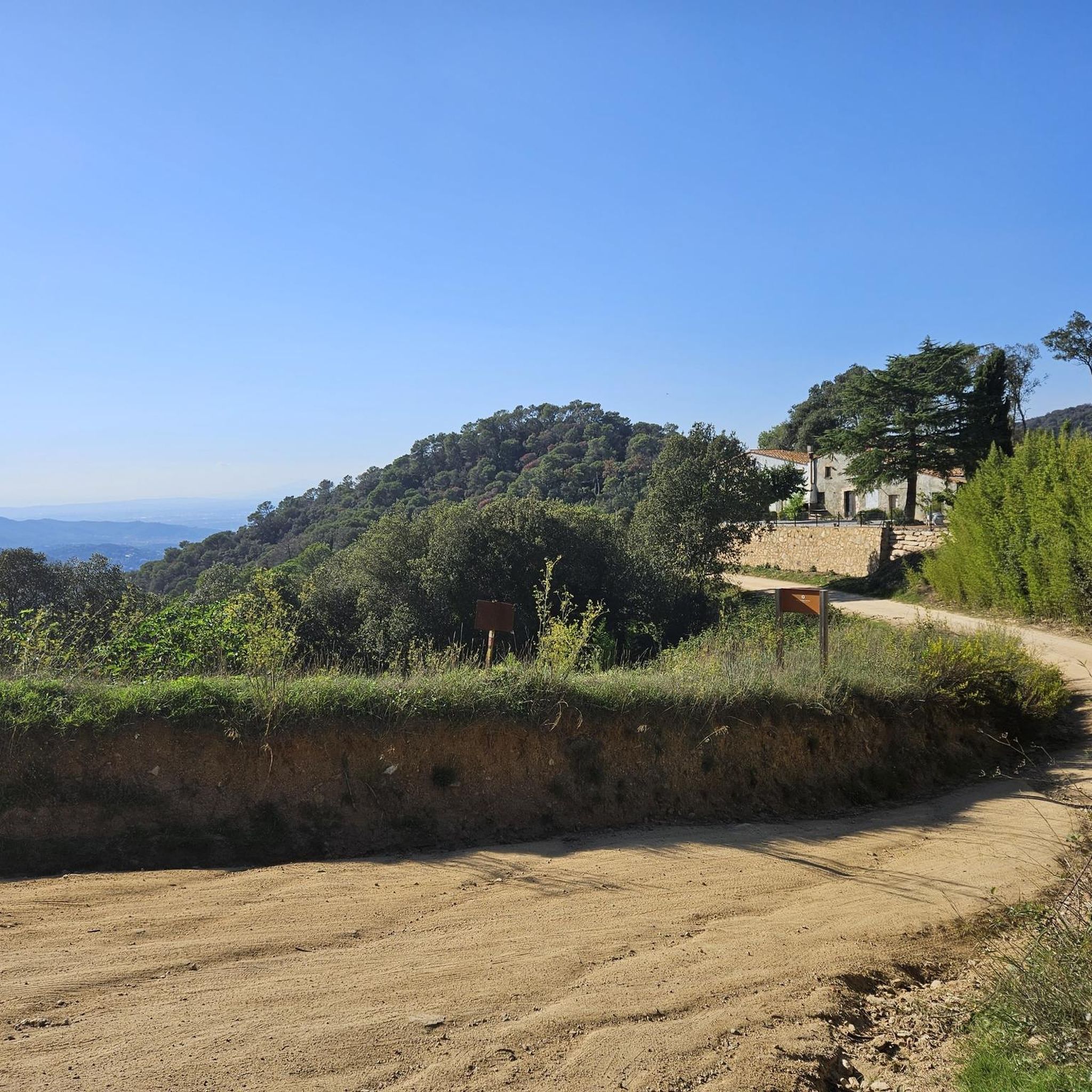
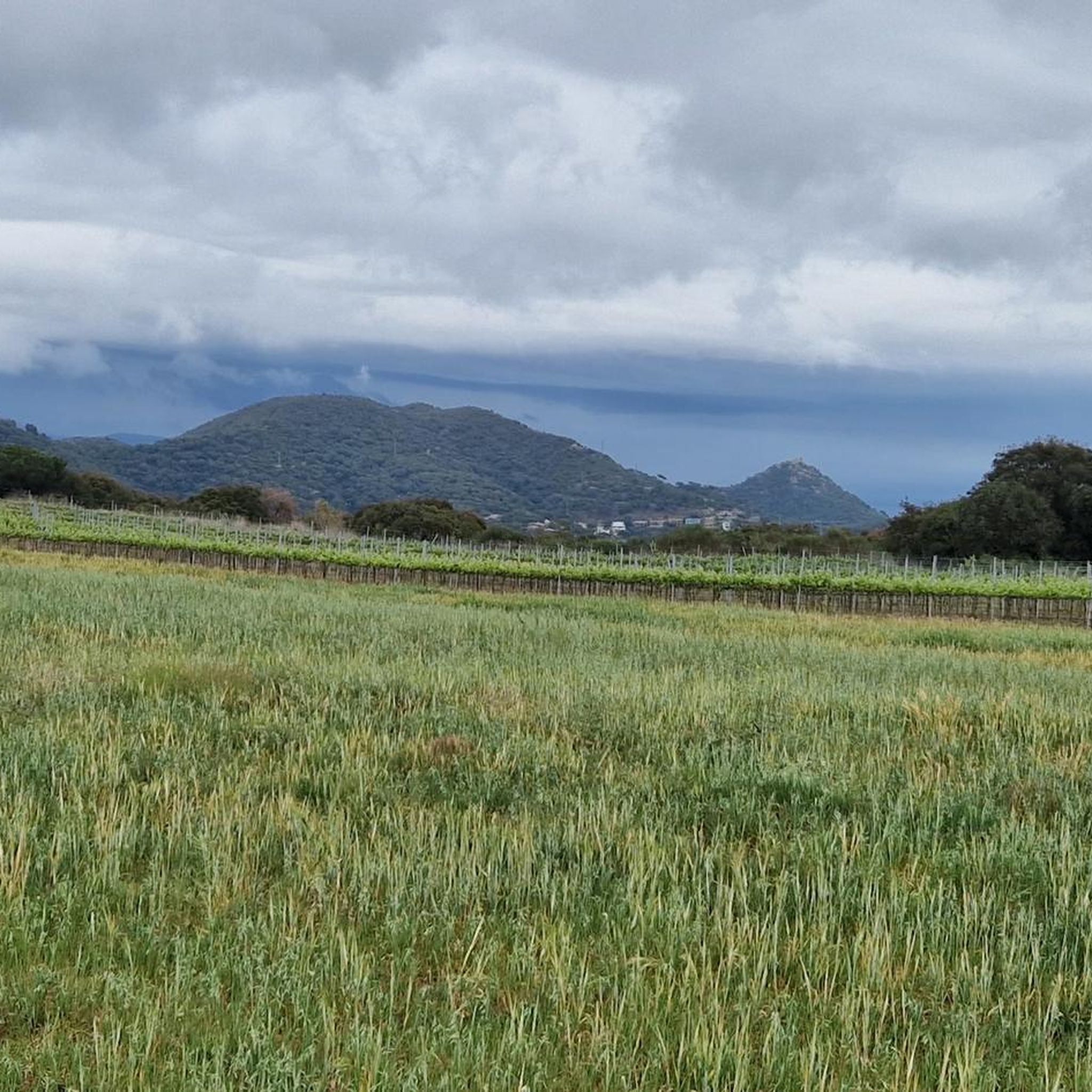
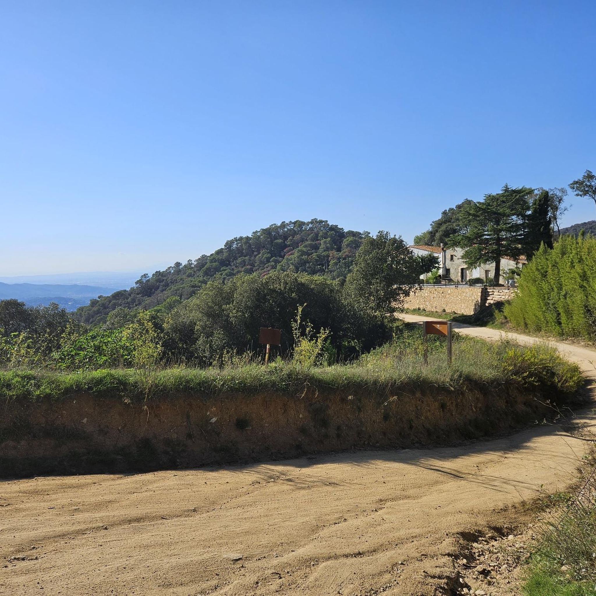
Hiking around Vilassar De Dalt offers access to the Parc de la Serralada Litoral, a protected natural area characterized by Mediterranean forests of pine and oak. The region features gentle, rounded mountains and varied terrain shaped by erosion, with altitudes generally not exceeding 600 meters. Hikers can explore valleys, natural monuments, and historical sites within this landscape. The area provides a diverse network of trails suitable for various outdoor activities.
Best hiking trails around Vilassar De Dalt
- The most popular…
Last updated: July 7, 2026
5.0
(2)
6
hikers
8.20km
02:32
300m
300m
Moderate hike. Good fitness required. Easily-accessible paths. Suitable for all skill levels.
16
hikers
3.99km
01:08
90m
90m
Easy hike. Great for any fitness level. Easily-accessible paths. Suitable for all skill levels.

Sign up for free
5.0
(1)
11
hikers
6.86km
01:55
140m
140m
Easy hike. Great for any fitness level. Easily-accessible paths. Suitable for all skill levels.
8
hikers
Moderate hike. Good fitness required. Easily-accessible paths. Suitable for all skill levels.
13
hikers
5.08km
01:37
220m
220m
Easy hike. Great for any fitness level. Easily-accessible paths. Suitable for all skill levels.
Get access to more routes and recommendations from other explorers.
Sign up for free
Already have an account?
Our route recommendations are based on thousands of hikes, rides, and runs completed by other people on komoot.
Start today with a free account
Your next adventure awaits.
Login or Signup

Tips from the Community

Jaciment funerari associat a assentaments antics, d'interès per a la comprensió de les pràctiques rituals de la regió.
0
0
Un monument megalític datat entre el final del neolític i l'edat del bronze, considerat un dels jaciments prehistòrics més importants del Maresme.
0
0

For centuries it was the Sunday getaway of the surrounding villages, and it is said that, on foggy days, the bell tower served as a guide to orientate oneself among the paths of the mountain range. Old meetings and gatherings were held on the esplanade, and you can still see the space where people sat to have breakfast after the climb. The access is direct and sustained, and the arrival offers a clear view of the sea and mountains that explains why Sant Mateu has always been a point of passage and a mandatory stop.
1
0
In addition to the spout and the pond, it preserves the old paved landing where, according to the long-time residents, people who went up to the sanctuary stopped to have a drink and “gain strength”. For decades it was a meeting point for hikers and farmers, and it was said that if the spring flowed strongly, a good year of rain would come. The access is short and easy, and the clearing in the surrounding forest still maintains the cool and shady atmosphere of the routes of the past.
0
0

The Dolmen of Can Boquet, also known as Roca d'en Toni, is a megalithic structure in Catalonia. The name Roca d'en Toni probably comes from the fact that, according to 19th century records, the landowner was called Toni Puig.
6
0
It is a very simple Romanesque-style hermitage, with a single nave covered with a barrel vault, with a semicircular apse, which has a double-flow window. The nave is very short, which suggests that it was shortened during the restoration, We must highlight the arrangement of the belfry bell tower, perpendicular to the façade, for its originality. Next to the chapel is the hermit's house. In the 15th century it was known as San Mateo del Bosque and was property of the Priory of Sant Miquel del Fai. The chapel has been documented since the year 993. In a pastoral visit from 1498 it is recorded that it is in a ruinous state but it had to be restored shortly after since in the 16th century it had worship again. In the 16th century restoration, the nave had to be cut off, now quite short in relation to the apse, and with a very simple façade. On Saint Matthew's Day, its traditional pilgrimage is celebrated. From the hermitage you can enjoy good views of the Maresme, an area frequented by several hiking and mountain biking routes.
4
0

19th century fountain on Artail Street. As for its structure, the central axis of the fountain is a rectangular column topped by a hydra and has a niche with the image of Saint Peter. The entire fountain is surrounded by a balustrade.
2
0

Fountain from the 19th century, located on Artail Street. Regarding its structure, the central axis of the fountain is a rectangular pillar crowned by a hydra, and with a niche with the image of Saint Peter. The entire fountain is surrounded by a balustrade.
2
0
Frequently Asked Questions
How many hiking trails are there around Vilassar de Dalt?
Vilassar de Dalt and the surrounding Parc de la Serralada Litoral offer a rich network of trails. You'll find over 25 hiking routes to explore, catering to various preferences and fitness levels.
Are there easy hiking trails suitable for families in Vilassar de Dalt?
Yes, Vilassar de Dalt has many easy trails perfect for families. For instance, the Turó de Sant Mateu – Cornice Viewpoint loop from Premià de Dalt is an easy 4 km path that takes you past the historic Ermita de Sant Mateu and offers scenic vistas. Another great option is the Dolmen of the Roca d'en Toni – Mas Truch loop from Roca d'en Toni, an easy 6.9 km route featuring a well-preserved megalithic monument.
What kind of natural features can I expect to see on hikes in this region?
Hiking around Vilassar de Dalt immerses you in the Mediterranean landscape of the Parc de la Serralada Litoral. You'll encounter diverse terrain, from pine and oak forests to valleys with lush vegetation. Many routes offer stunning panoramic views of both the coast and the mountains, and you might discover natural monuments and unique rock formations shaped by erosion.
Are there any circular hiking routes in Vilassar de Dalt?
Absolutely. Many trails in the area are circular, allowing you to start and end at the same point. A popular moderate option is the Vilassar de Dalt Green Ring Trail, an 8.2 km loop offering Mediterranean views and passing by natural monuments within the park.
What historical landmarks can be found along the hiking trails?
The region is rich in history. You can discover ancient sites like the Dolmen of the Roca d'en Toni, a megalithic monument, or the Romanesque Ermita de Sant Mateu. Other historical points of interest include ancient farmhouses, Iberian remains, and castles like Burriac Castle.
What do other hikers enjoy most about hiking in Vilassar de Dalt?
The hiking experience in Vilassar de Dalt is highly rated by the komoot community, with an average score of 4.3 stars from over 140 reviews. Hikers often praise the varied terrain, the beautiful Mediterranean forests, and the combination of natural beauty with historical sites. The well-marked paths and diverse difficulty levels also contribute to its popularity.
Are there any trails with good viewpoints?
Yes, many trails lead to fantastic viewpoints. The Parc de la Serralada Litoral offers numerous spots for panoramic vistas. For example, the La Coscollada Observation Tower and the Fire lookout tower on Turó d'en Galceran are excellent places to enjoy expansive views of the surrounding landscape and coastline.
What is the best time of year to go hiking in Vilassar de Dalt?
The Mediterranean climate makes Vilassar de Dalt suitable for hiking for much of the year. Spring and autumn generally offer the most pleasant temperatures for exploring the trails. Summers can be warm, so early morning or late afternoon hikes are recommended, while winters are mild, allowing for comfortable walks.
Are there any moderate trails for more experienced hikers?
Yes, there are several moderate trails for those looking for a bit more challenge. The Can Boquet Cross – Font d'en Mamet loop from Poblat ibèric de la Cadira del Bisbe is a moderate 8.2 km route that takes you through varied terrain and past interesting points like the Cross of Can Boquet and Font d'en Mamet.
Can I find trails that combine natural beauty with cultural sites?
Absolutely. The Maresme region, including Vilassar de Dalt, is recognized for its trails that blend nature and culture. Many routes traverse Mediterranean forests while also passing by ancient farmhouses, Iberian remains, and historical chapels, offering a rich experience that connects you with both the natural environment and the heritage of the area.
Is there parking available near the trailheads in Vilassar de Dalt?
While specific parking details vary by trailhead, many popular starting points for hikes in and around Vilassar de Dalt, especially those leading into the Parc de la Serralada Litoral, typically have designated parking areas or roadside parking options. It's advisable to check specific route details for the most convenient parking spots.
Are there any trails that pass by natural springs or water features?
Yes, some trails in the area feature natural springs. For example, the Font d'en Dirol – Roca Llobatera de Cabrils loop from Vilassar de Dalt passes by the Font d'en Dirol, offering a refreshing stop amidst the hike. The region's topography, shaped by erosion, also creates various small streams and valleys, especially after rainfall.
Most popular routes around Vilassar De Dalt
Most popular attractions around Vilassar De Dalt

Get inspired with the komoot mobile app


Explore more
Browse the best Hikes in other regions.
