The best walks and hikes around Santovenia De Pisuerga
4.5
(130)
1,270
hikers
146
hikes
Hiking around Santovenia De Pisuerga offers a landscape characterized by the meandering Pisuerga river, agricultural plains, and distinctive "cortados" or escarpments. The region provides a mix of riverside paths and trails that traverse the slightly elevated terrain. These routes often feature open views across the Castilian countryside.
Best hiking trails around Santovenia De Pisuerga
- The most popular hiking route is Senda de los Cortados Trail, a 6.9 miles (11.2 km) trail that takes 3 hours 10 minutes to complete.…
Last updated: July 4, 2026
4.6
(12)
51
hikers
11.2km
03:11
240m
240m
Moderate hike. Good fitness required. Easily-accessible paths. Suitable for all skill levels.
5.0
(1)
11
hikers
6.02km
01:39
100m
100m
Easy hike. Great for any fitness level. Easily-accessible paths. Suitable for all skill levels.

Sign up for free
10
hikers
Moderate hike. Good fitness required. Easily-accessible paths. Suitable for all skill levels.
4.8
(5)
52
hikers
Moderate hike. Good fitness required. Easily-accessible paths. Suitable for all skill levels.
22
hikers
5.30km
01:21
20m
20m
Easy hike. Great for any fitness level. Easily-accessible paths. Suitable for all skill levels.
Get access to more routes and recommendations from other explorers.
Sign up for free
Already have an account?
Our route recommendations are based on thousands of hikes, rides, and runs completed by other people on komoot.
Start today with a free account
Your next adventure awaits.
Login or Signup

Tips from the Community

The Ribera de Castilla Park is located in Valladolid, in the north of the city, next to the Pisuerga River. This park is one of the largest in the city and offers a variety of activities for all ages. The park has wide paths for walking, cycling or skating, and is accessible for people with reduced mobility. There are also play areas for children, a picnic area to enjoy an outdoor picnic, and a pond with a fountain. In addition, it is an ideal place for bird watching, as it is home to numerous native and migratory species.
3
0

It is a very worthwhile route. From what we have seen when doing it, there is a change in the route right at the viewpoint. Currently, the markings indicate that you have to continue along the path with the large green fence, which then joins up again with the path indicated on the route, it is like a shortcut. As a tip, if it has frozen or rained, wear good mountain footwear that allows you to climb muddy slopes, since there is one quite steep one that, with mud, is difficult to climb. Otherwise, a very pleasant route, not very long and with beautiful landscapes.
1
0

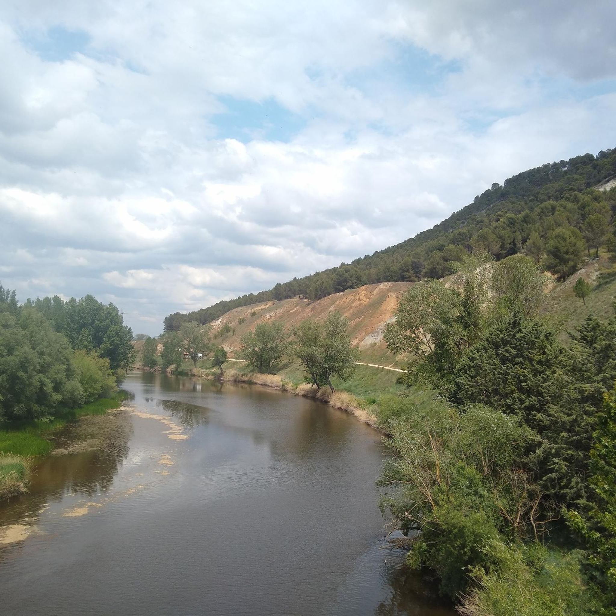
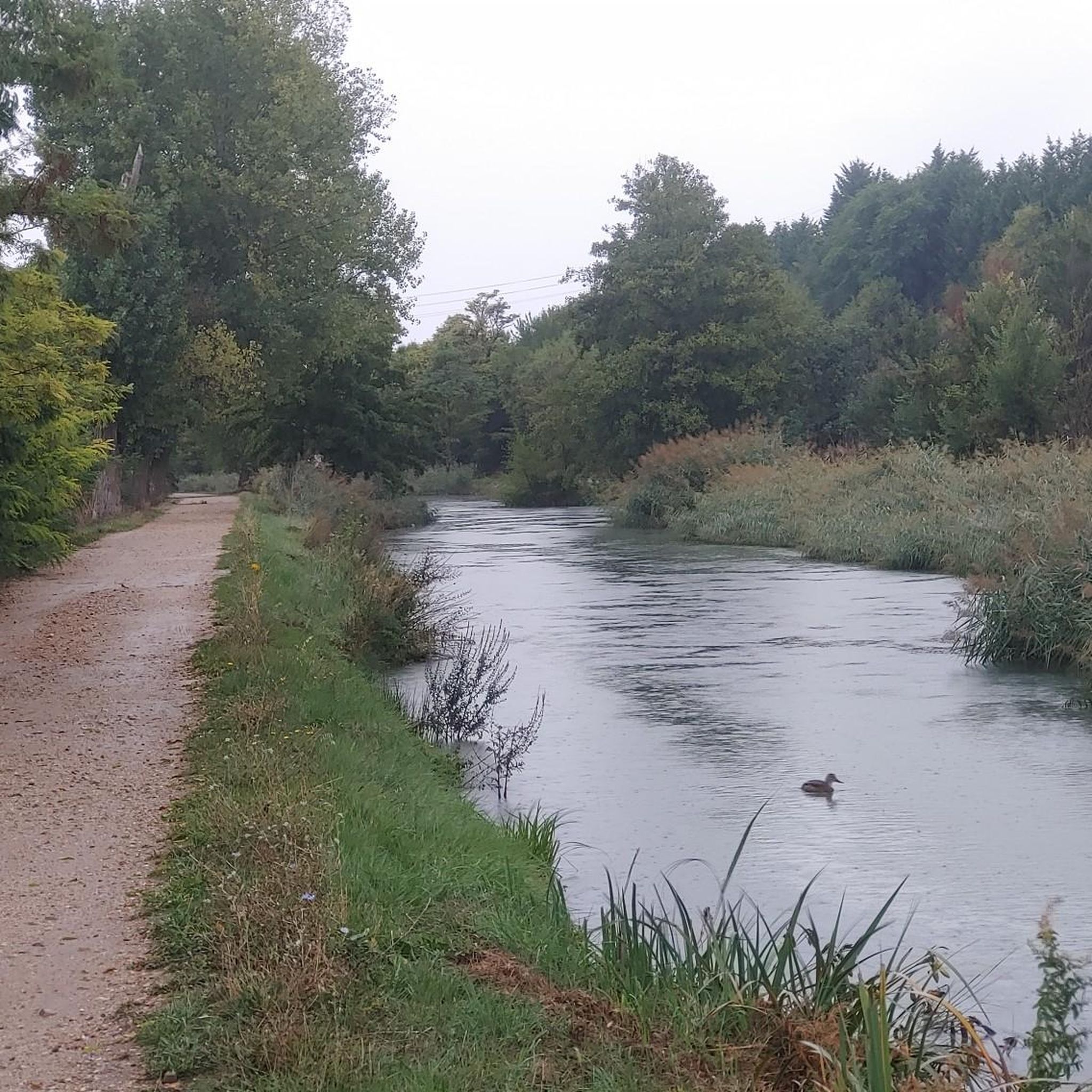
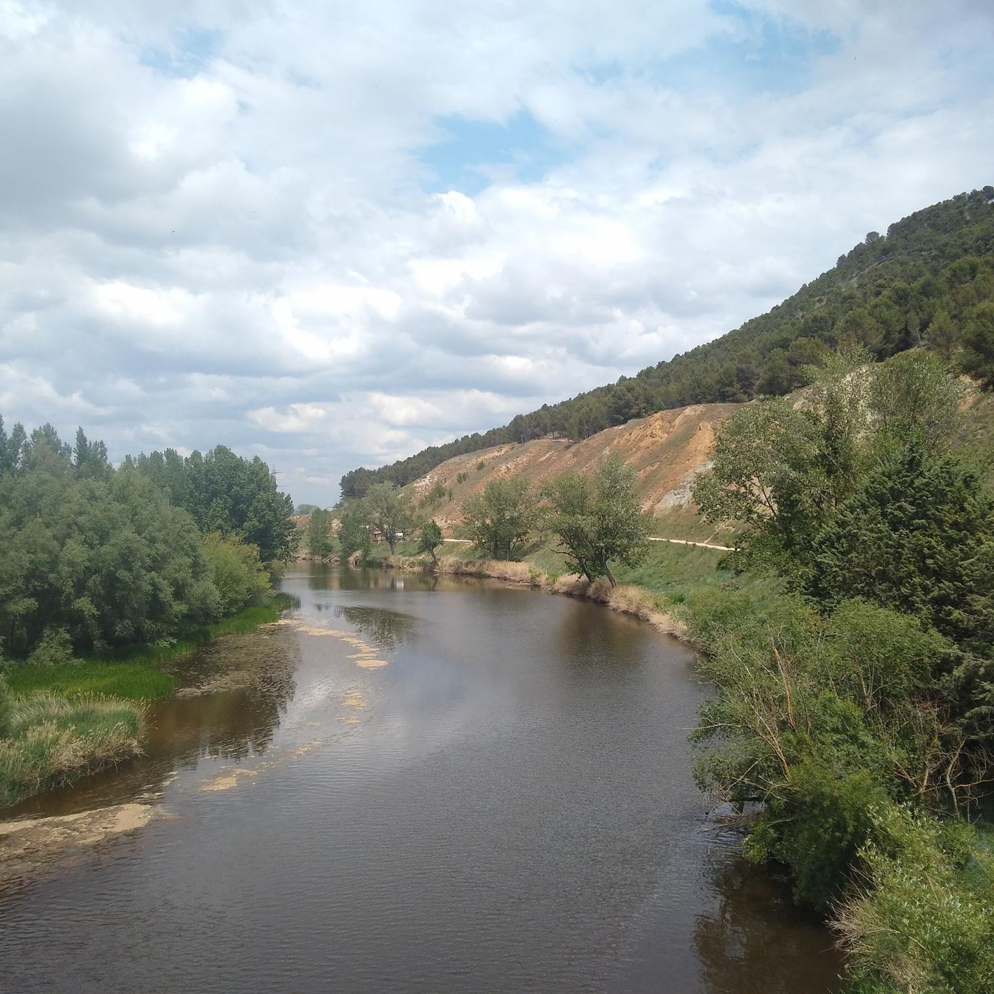
One of the points where the Canal and the Pisuerga River approach each other without meeting.
1
0
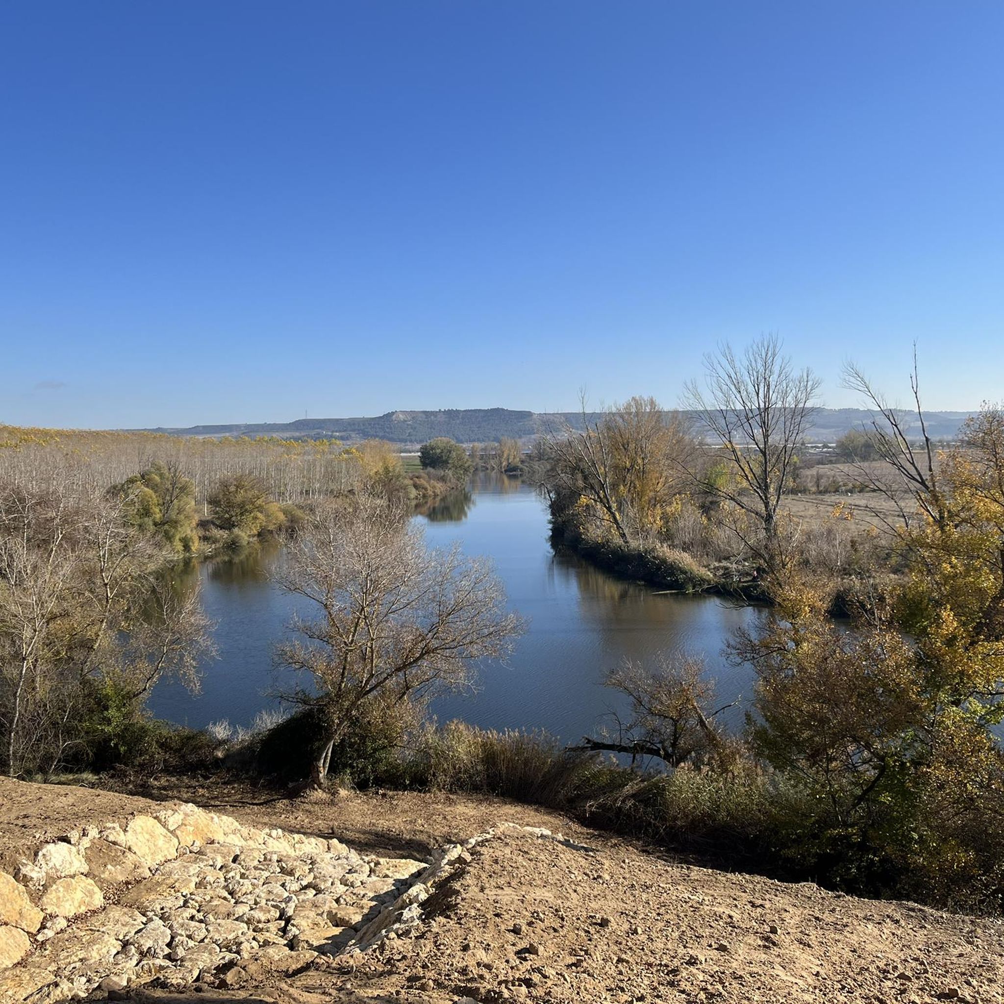
The Mirador de los Cortados is an impressive place that offers panoramic views in the province of Valladolid, near the municipality of Cabezón de Pisuerga. The viewpoint is located on the Senda de los Cortados, a hiking route that runs through the province of Valladolid. From this point, you can enjoy spectacular views of the Pisuerga Valley.
3
0

A historical jewel reformed in the 16th century on previous structures of the bridge of Roman origin that connected the Roman road between Asturica Augusta and Clunia. It stands out for its arches. It is an emblematic crossing point that connects the town and represents an important part of the architectural heritage of the region.
1
0

It is a single lane bridge with traffic regulated by traffic lights but wide enough to entertain yourself to take photos
0
0

Bridge that crosses the Pisuerga river, cataloged in Roman times, although it has been greatly reformed over the centuries. Also known as the Nine-eyed Bridge because of the nine arches that form it.
1
1
Viewpoint located on top of the Cortados de Cabezón with impressive views of the Pisuerga River and the entire plain with its surrounding agricultural fields.
1
1
Frequently Asked Questions
How many hiking trails are available around Santovenia De Pisuerga?
There are over 150 hiking trails around Santovenia De Pisuerga, providing a wide variety of options for different skill levels and preferences.
Are there easy hikes suitable for beginners or families in Santovenia De Pisuerga?
Yes, Santovenia De Pisuerga offers many easy trails perfect for beginners and families. The Vecilla Trail is a gentle 3.7-mile (6.0 km) path, and the Ribera de Castilla Park loop from Valladolid-Universidad is another easy option that follows the river.
What kind of terrain can I expect on hikes around Santovenia De Pisuerga?
The landscape around Santovenia De Pisuerga is characterized by the meandering Pisuerga river, open agricultural plains, and distinctive 'cortados' or escarpments. You can expect a mix of riverside paths and trails that traverse slightly elevated terrain, often offering open views across the Castilian countryside.
Are there any circular walking routes in the area?
Yes, many routes in the region are circular. For example, the Cortados de Cabezón – Mirador de los Cortados loop from Cabezón de Pisuerga is a moderate 4.3-mile (7.0 km) circular trail that offers scenic views.
What are some notable landmarks or attractions I can see while hiking?
While hiking, you can encounter several interesting landmarks. The Mirador de los Cortados offers panoramic views, and you might also pass by historical sites like Fuensaldaña Castle or the Plaza Mayor of Valladolid if your route extends towards the city.
What do other hikers enjoy most about the trails in Santovenia De Pisuerga?
The trails around Santovenia De Pisuerga are highly rated by the komoot community, with an average score of 4.4 stars. Hikers often praise the peaceful riverside paths, the open views from the escarpments, and the well-maintained routes that are suitable for various fitness levels.
Are there any trails that follow the Canal de Castilla?
Yes, some routes incorporate sections along the historic Canal de Castilla. The Meandros del río Pisuerga por el Canal de Castilla (GR-89) desde Valladolid is a 7.4-mile (12.0 km) trail that leads through riverside meanders and alongside the canal.
What is the best time of year to go hiking in Santovenia De Pisuerga?
Spring and autumn are generally the most pleasant seasons for hiking in Santovenia De Pisuerga, with milder temperatures and beautiful natural colors. Summer can be quite hot, so early morning or late afternoon hikes are recommended. Winter offers a different charm, though some paths might be muddy after rain.
Are there any viewpoints along the trails?
Yes, the region is known for its 'cortados' or escarpments, which offer excellent viewpoints. The Senda de los Cortados Trail, for instance, provides great views from these elevated positions. The Mirador de los Cortados is a specific highlight for panoramic vistas.
What are the typical distances and durations for hikes in this area?
Hikes in Santovenia De Pisuerga vary widely. Easy paths like the Vecilla Trail are around 3.7 miles (6.0 km) and take under 2 hours. Moderate routes, such as the Senda de los Cortados Trail, can be about 6.9 miles (11.2 km) and take over 3 hours to complete.
Is there public transport access to the trailheads?
While some trails, particularly those closer to Valladolid, might be accessible via local bus routes, it's generally recommended to check specific public transport options for individual trailheads. Many visitors find it more convenient to reach the starting points by car.
Are there cafes or places to eat near the hiking trails?
Santovenia De Pisuerga and nearby towns offer various local establishments where you can find refreshments and meals. It's advisable to check the specific location of your chosen trail and plan accordingly, as not all trailheads will have immediate access to cafes.
Most popular routes around Santovenia De Pisuerga
Most popular attractions around Santovenia De Pisuerga

Get inspired with the komoot mobile app


Explore more
Browse the best Hikes in other regions.
