The best road cycling routes around Mijares
4.6
(13)
1,539
riders
29
rides
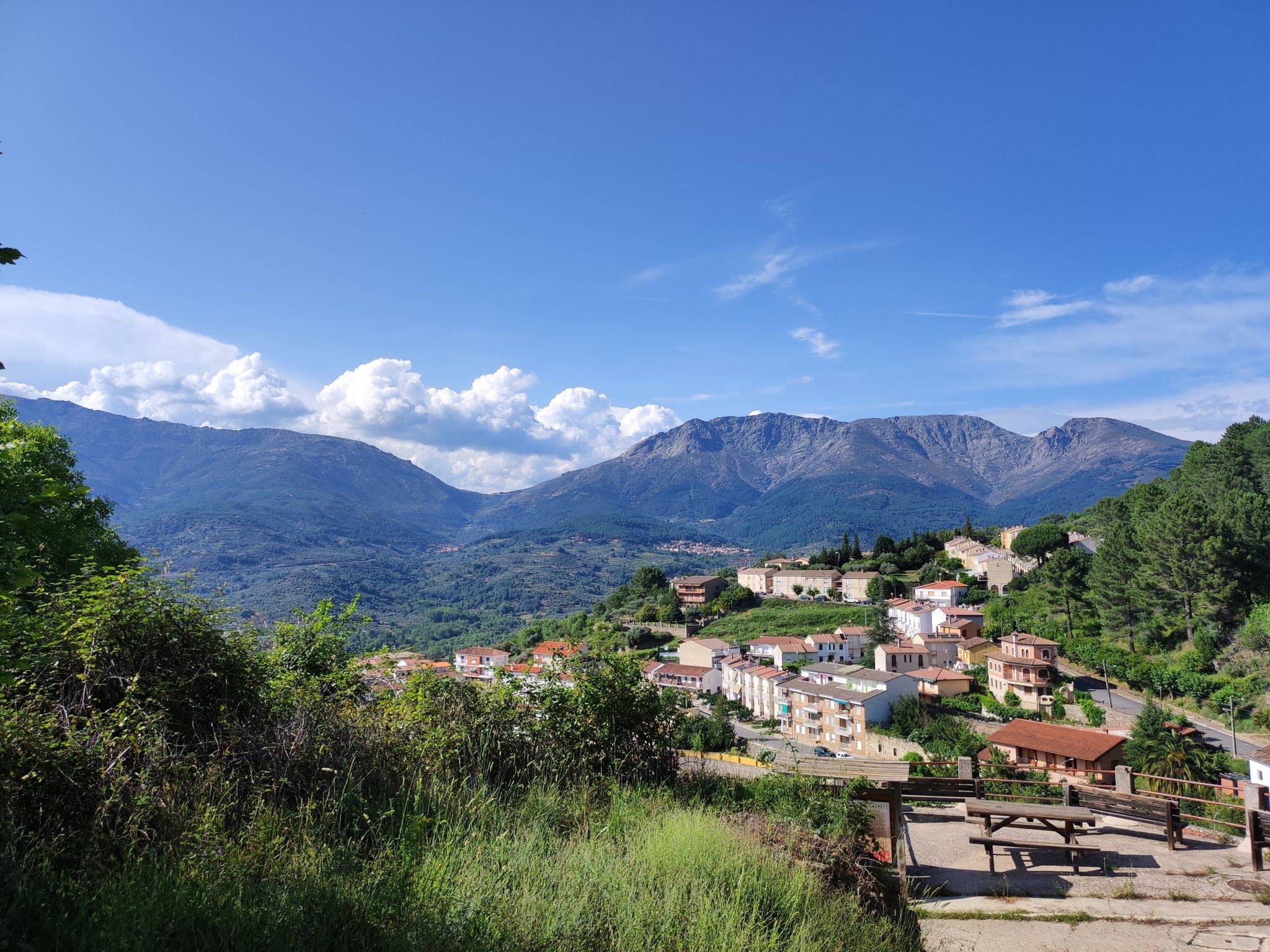
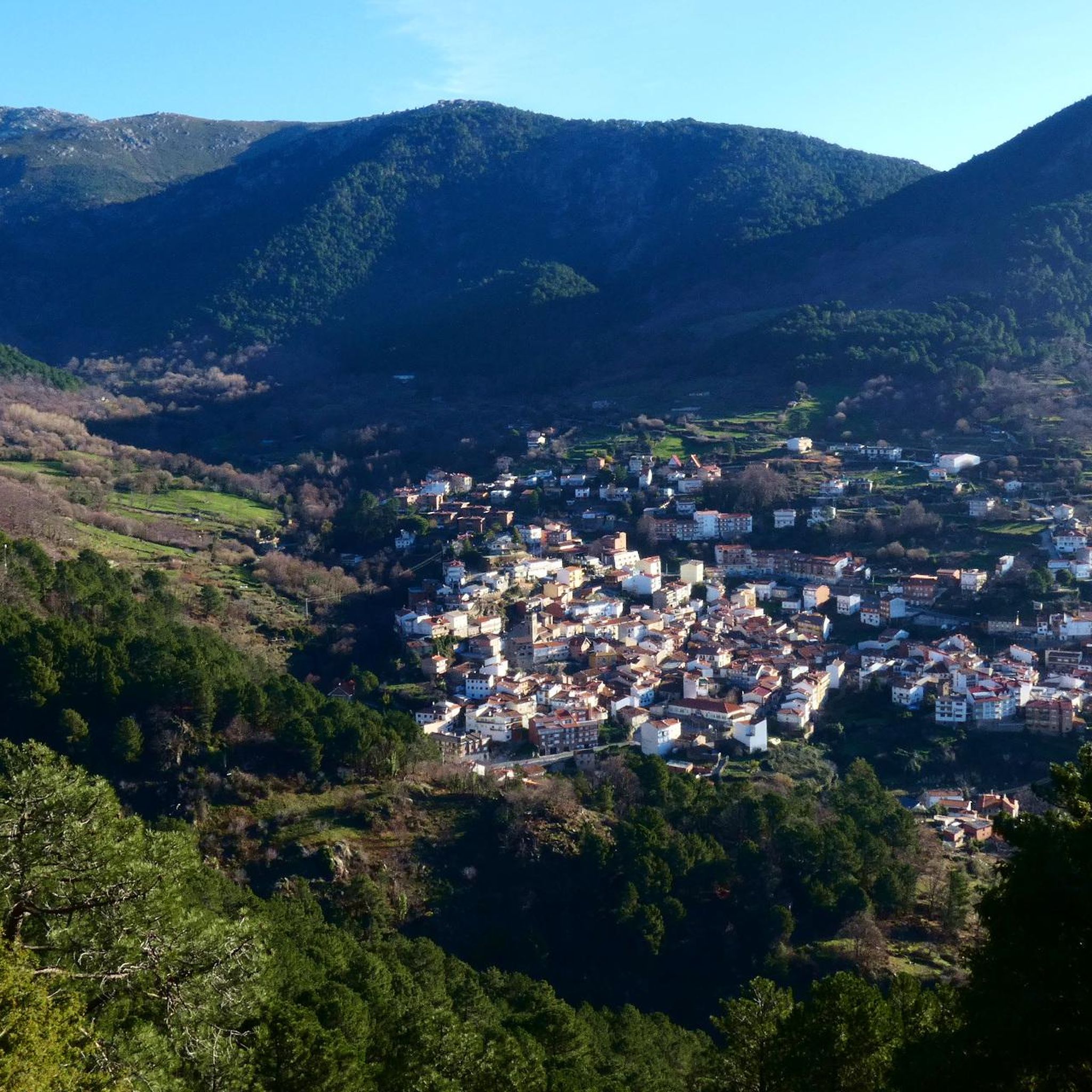
Road cycling routes around Mijares traverse a diverse landscape shaped by the Mijares River, which flows through rugged calcareous mountains in its upper reaches and transitions to fertile plains downstream. The region features significant elevation changes, particularly in the Alto Mijares area, offering challenging climbs and descents. Cyclists can expect routes that follow river valleys, ascend mountain passes, and wind through gorges, providing varied terrain for road biking.
Best road cycling routes around Mijares
- The most popular road cycling route…
Last updated: October 28, 2026
4.8
(4)
95
riders
75.8km
03:56
1,330m
1,330m
Hard road ride. Very good fitness required. Mostly well-paved surfaces and easy to ride.
80
riders
82.2km
04:12
1,350m
1,350m
Hard road ride. Very good fitness required. Mostly well-paved surfaces and easy to ride.

54
riders
109km
05:23
1,680m
1,680m
Hard road ride. Very good fitness required. Mostly well-paved surfaces and easy to ride.
51
riders
52.4km
03:01
1,180m
1,180m
Hard road ride. Very good fitness required. Mostly well-paved surfaces and easy to ride.
37
riders
62.7km
03:08
1,000m
1,000m
Hard road ride. Very good fitness required. Mostly well-paved surfaces and easy to ride.
Get access to more routes and recommendations from other explorers.
Already have an account?
Our route recommendations are based on thousands of hikes, rides, and runs completed by other people on komoot.
Start today with a free account
Your next adventure awaits.


Other adventures around Mijares

Tips from the Community

From the Puerto de El Piélago, the Sierra de San Vicente opens up over a landscape of mountains, pine forests, and wide Castilian horizons. The road climbs through forests until it reaches one of the most spectacular natural viewpoints in the province of Toledo, with views that reach the Sierra de Gredos on the clearest days.
1
0

Very good, comfortable and affordable hotel.
0
0
The Mijares Pass is one of the great mountain passes in the Sierra de Gredos, highly prized by cyclists for its length, elevation gain, and scenic beauty. Maximum gradient: 11% (on short ramps before Mijares). There are several steep sections in the villages and near the Horcajo area, as well as another one 2 km from the summit.
2
0
The Pedro Bernardo Pass is one of the classic climbs in the Sierra de Gredos mountains, highly prized by cyclists and a regular feature of races like the Vuelta a España. First section: Up to the village (Pedro Bernardo), with gradients of 5-6%, a road in good condition, and spectacular views of the Tiétar Valley. Urban section: In the village, the gradient eases, even offering some flatter sections. Second section: After the village, the asphalt becomes rougher, and the toughest kilometer (7-8%) appears, followed by a "balcony" section with incredible views and a sustained 5% gradient to the summit.
1
0
The views of Mombeltrán Castle from the N-502 are truly spectacular, especially when coming from Arenas de San Pedro towards Ramacastañas. The castle stands atop a hill with the Sierra de Gredos mountains in the background, creating a very photogenic scene.
7
0

You cool down very quickly up here, especially when it's windy.
7
0

Highest point 1580 on this route, there is a large parking lot to enjoy the view.
16
0

A pretty town worth a stroll through.
0
0
Frequently Asked Questions
What kind of terrain can I expect on road cycling routes in Mijares?
Road cycling routes in Mijares are characterized by a diverse landscape. You'll find significant elevation changes, especially in the mountainous Alto Mijares region, offering challenging climbs and descents. Routes often follow the scenic Mijares River valley, ascend mountain passes, and wind through impressive gorges. The upper reaches feature rugged calcareous mountains, while downstream areas transition to more fertile plains.
How many road cycling routes are available in Mijares?
There are over 30 road cycling routes available in Mijares, catering to various skill levels. While many routes present a considerable challenge, there are also options for those seeking a more moderate ride.
Are there many challenging road cycling routes in Mijares?
Yes, Mijares is known for its challenging road cycling routes. Out of the 33 available routes, 23 are classified as difficult, featuring significant climbs and elevation gains. For example, the Mijares – Puerto de Mijares loop from Casavieja includes substantial ascents to the Puerto de Mijares.
What natural attractions can I see along the road cycling routes in Mijares?
The Mijares region offers stunning natural attractions. You can cycle past features like the Valley of the Garganta del Niño Cojo, the beautiful El Chorro Waterfall, and the Mijares natural pool. Mountain passes like Puerto de Mijares and Serranillos Pass also offer breathtaking views.
What do other road cyclists enjoy most about road cycling in Mijares?
The komoot community highly rates road cycling in Mijares, with an average score of 4.8 stars from over 10 reviews. Cyclists often praise the varied terrain, from river valleys to challenging mountain passes, and the scenic beauty of the region's gorges and natural features.
Are there any circular road cycling routes in Mijares?
Yes, many of the road cycling routes in Mijares are circular, allowing you to start and finish in the same location. Examples include the difficult Puerto de Pedro Bernardo – Ramacastañas loop from Gavilanes and the Garganta de Torinas – El Piélago Pass loop from Casavieja.
What is the best time of year for road cycling in Mijares?
Given its Mediterranean climate and mountainous terrain, spring and autumn are generally the best seasons for road cycling in Mijares. Temperatures are milder, and the natural scenery is vibrant. Summer can be very hot, especially in the river valleys, while winter might bring colder temperatures and potential snow at higher elevations.
Are there any family-friendly or easy paved road cycling routes in Mijares?
While many routes in Mijares are classified as difficult, there are 10 moderate routes that might be more suitable for families or those seeking an easier ride. These routes often follow the river valleys, offering less strenuous options compared to the mountain passes. It's advisable to check individual route details for specific difficulty and elevation profiles.
Where can I find parking for road cycling routes in Mijares?
Parking availability varies by starting point. Many routes begin in or near towns like Casavieja, Gavilanes, or Serranillos, where public parking options are usually available. It's recommended to check the specific starting location of your chosen route for detailed parking information.
Are there cafes or accommodation options for cyclists in the Mijares region?
Yes, towns and villages throughout the Mijares region, such as Montanejos and Casavieja, offer various cafes, restaurants, and accommodation options suitable for cyclists. These places provide opportunities to refuel and rest after your rides, often with local specialties.
What kind of elevation gain can I expect on road cycling routes in Mijares?
Road cycling routes in Mijares often feature significant elevation gains due to the mountainous terrain. For instance, the El Berraco – Embalse del Burguillo loop from Serranillos, a difficult route, includes over 1,600 meters of ascent, providing a substantial challenge for experienced riders.
Most popular attractions around Mijares

Get inspired with the komoot mobile app


Explore more
Browse the best Road cycling routes in other regions.
