The best walks and hikes around Vilallonga / Villalonga
4.5
(753)
2,852
hikers
19
hikes
Hiking around Vilallonga / Villalonga, located in the Valencian Community of Spain, offers diverse landscapes for outdoor exploration. The region is characterized by the Serra de la Safor mountain range, featuring impressive peaks, deep ravines, and Mediterranean forests. The Serpis River and its greenway provide scenic paths through a protected landscape, including tunnels and bridges. This area combines rugged inland beauty with varied geological formations and characteristic Mediterranean flora.
Best hiking trails around Vilallonga / Villalonga
- The most popular hiking…
Last updated: August 18, 2026
4.3
(11)
50
hikers
26.6km
07:28
500m
500m
Hard hike. Very good fitness required. Easily-accessible paths. Suitable for all skill levels.
4.6
(16)
91
hikers
9.67km
02:51
270m
270m
Moderate hike. Good fitness required. Easily-accessible paths. Suitable for all skill levels.

Sign up for free
4.3
(23)
63
hikers
11.6km
03:06
140m
140m
Moderate hike. Good fitness required. Easily-accessible paths. Suitable for all skill levels.
4.7
(18)
39
hikers
13.7km
04:33
630m
630m
Moderate hike. Good fitness required. Mostly accessible paths. Sure-footedness required.
4.7
(14)
74
hikers
17.1km
04:47
320m
320m
Moderate hike. Good fitness required. Easily-accessible paths. Suitable for all skill levels.
Get access to more routes and recommendations from other explorers.
Sign up for free
Already have an account?
Our route recommendations are based on thousands of hikes, rides, and runs completed by other people on komoot.
Start today with a free account
Your next adventure awaits.
Login or Signup

Tips from the Community

Good tires, no fear of gravel, and good lights for the tunnels are a must.
2
0
There are several tunnels on the route. 2 to 3 longer ones: you absolutely need light. Otherwise, it's pitch dark.
3
0

A beautiful hike through the Hell's Gorge. The actual route along the railway line, and probably the most interesting section between L'Orcha and Mare de Deu (Barranco del Infierno = Hell's Gorge), is unpaved and unpaved, in some parts very gravelly and rough. Five metal bridges are missing, two stone bridges remain, and six tunnels are traversed, all without lighting.
2
0
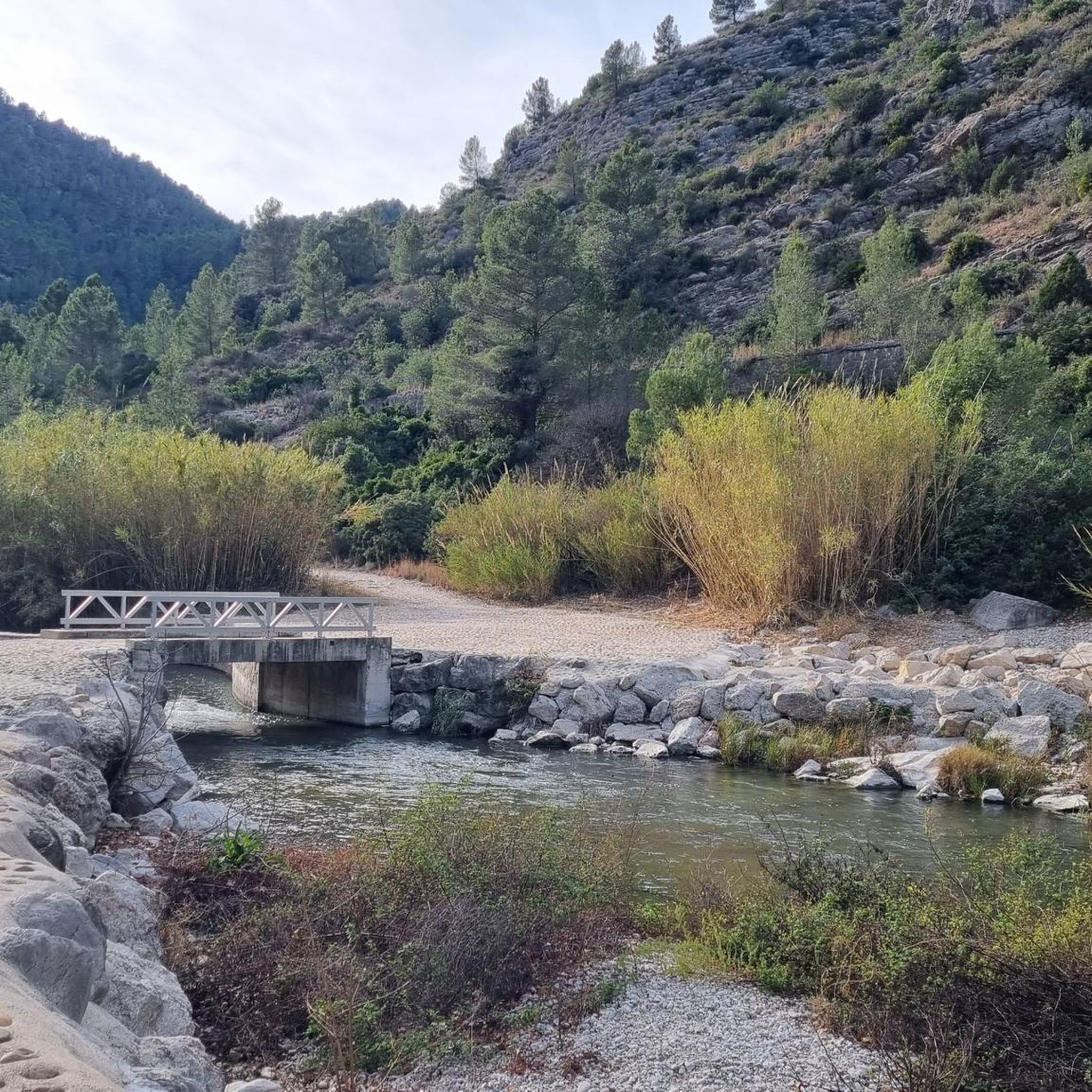
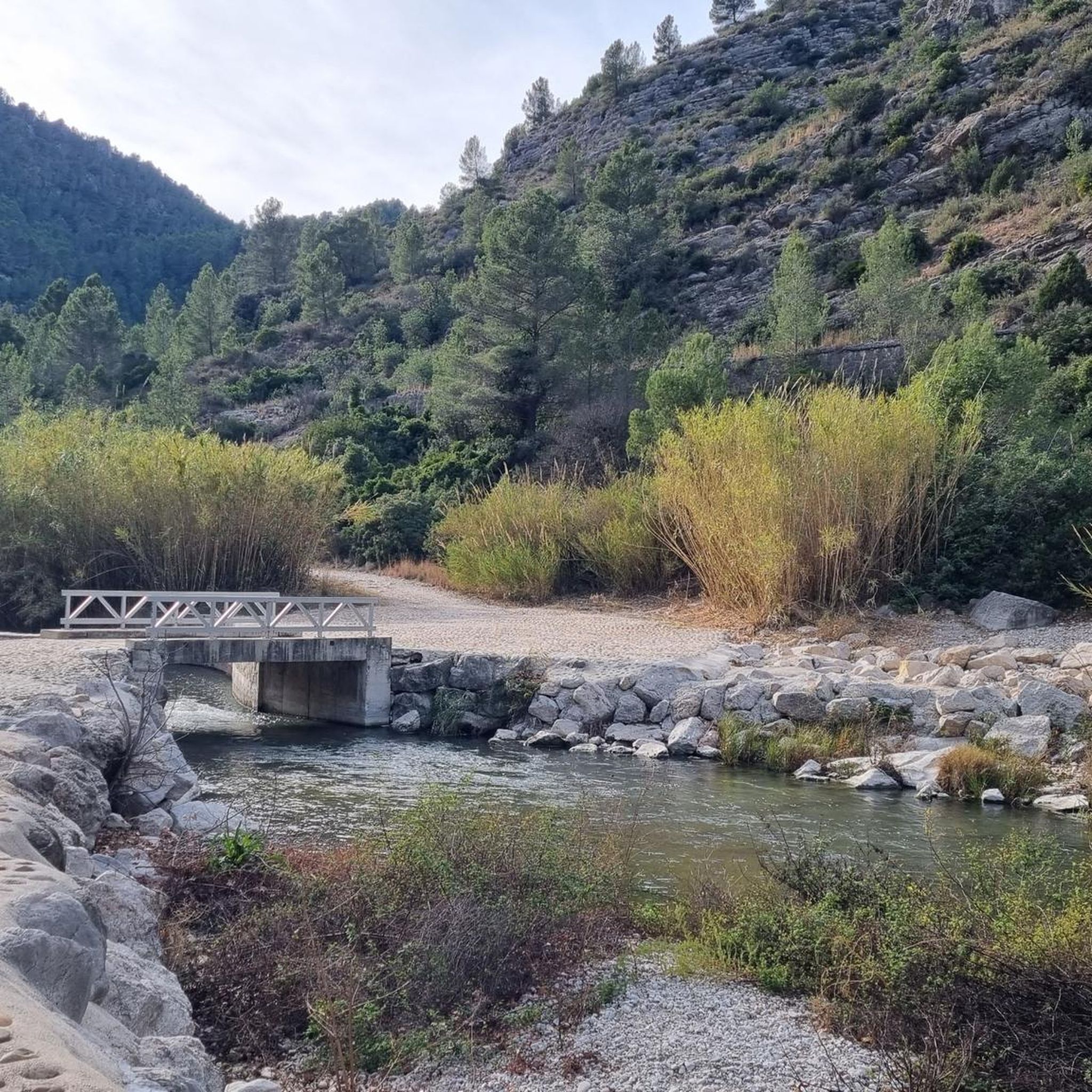
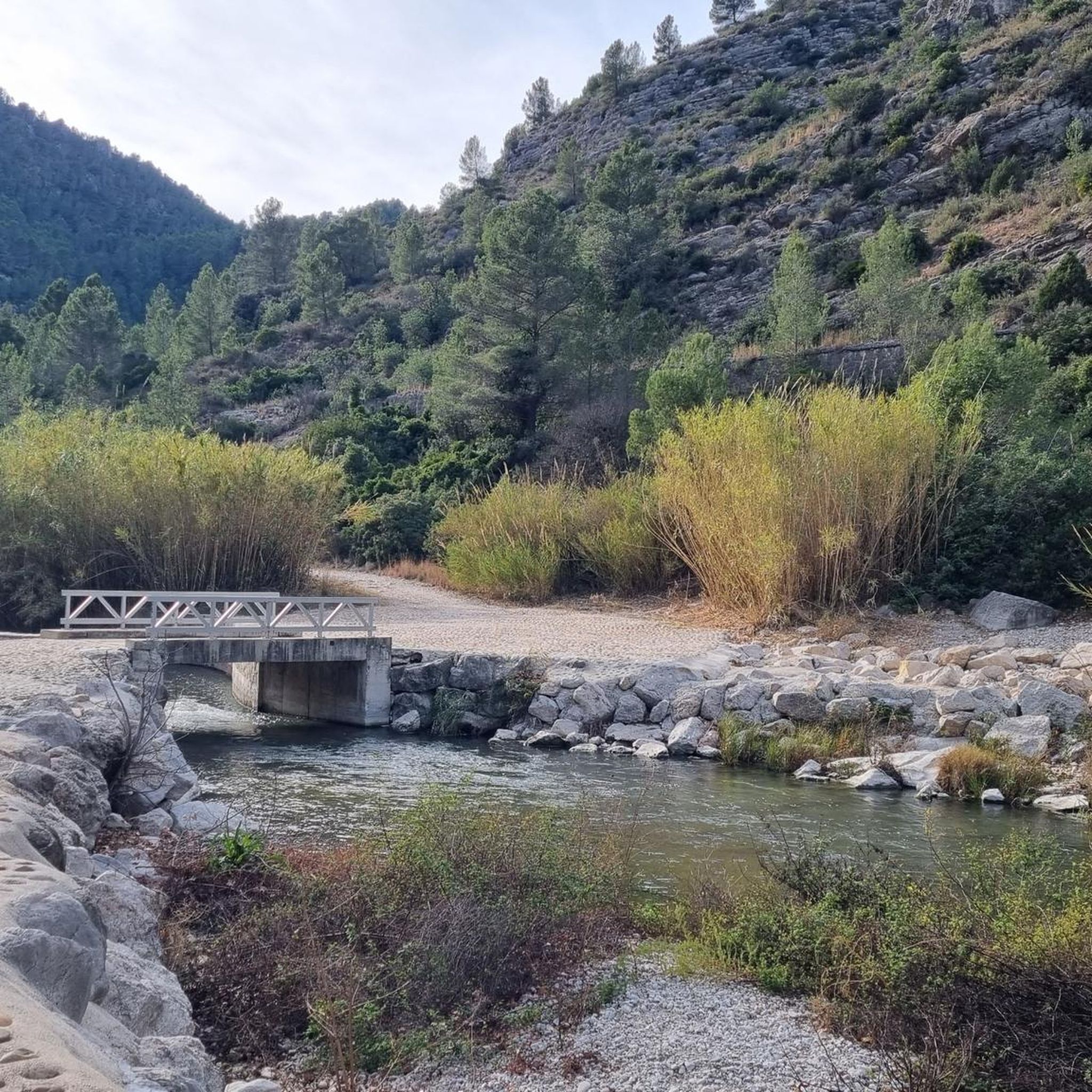
The ford was replaced by a "bridge".
1
0

Forna is a small, very quiet village in the municipality of L’Atzúbia, in the hinterland of the Costa Blanca. It lies nestled in a hilly, Mediterranean landscape characterized by orange groves and unspoiled valleys. With fewer than one hundred inhabitants, the village has an almost familial atmosphere and has retained its traditional, rural character: narrow streets, whitewashed houses, and flowers adorning doorways. Above the village rises the impressive Castillo de Forna, a fortified palace dating from the late Middle Ages. Its towers and walls define the village's appearance and are a reminder of the region's Moorish past. Later, the castle served as a lord's residence and remains a central landmark of Forna. The village's history stretches far back, as the area was already settled during the Islamic period. Even after the resettlement of new inhabitants in the 17th century, Forna remained a small, agricultural village that has preserved its historical structure. Visitors to Forna will experience a tranquil and charming place. The tranquility, the surrounding nature and the immediate proximity to the mountains make it an ideal destination for anyone seeking an authentic atmosphere and historical architecture away from mass tourism.
1
0

On Grabel, it's advisable to keep your tire pressures correct. I recommend over-inflating rather than underinflating. There are some cobblestone areas.
1
0

If you go from Villalonga through the tunnels don’t forget some lights. A great ride.
1
0

An old hydroelectric power station
1
0
Frequently Asked Questions
How many hiking trails are available in Vilallonga / Villalonga?
There are nearly 20 hiking routes around Vilallonga / Villalonga, offering a variety of experiences. These include 12 moderate trails, 5 difficult trails, and 1 easy route, catering to different fitness levels and preferences.
What kind of landscapes can I expect to see while hiking in Vilallonga / Villalonga?
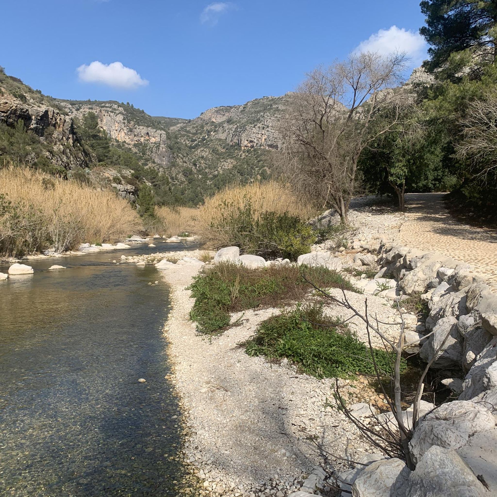
Hikers in Vilallonga / Villalonga will encounter diverse landscapes, from the rugged peaks and deep ravines of the Serra de la Safor to the lush Mediterranean forests. The Serpis River Greenway offers scenic paths through a protected landscape, featuring tunnels and bridges, and sections through the dramatic Barranco del Infierno. You'll also find unique geological formations and characteristic Mediterranean flora.
Are there any family-friendly hiking options in Vilallonga / Villalonga?
Yes, there are routes suitable for families. While most trails are moderate, the region offers paths that can be enjoyed by various ages. For a relatively shorter and less strenuous option, consider the Ruined Mill by the River – Serpis River Weir loop from Arenal de Palmer, which is 4.6 miles long and takes about 2 hours 12 minutes, exploring the Serpis River valley.
Are there any circular hiking routes in the area?
Yes, Vilallonga / Villalonga offers several circular routes. For example, the Serpis Greenway – Fábrica de l'Infern loop from L'Udol Reprimala is a moderate 7.8-mile loop. Another option is the Serpis Greenway – Ruined Mill by the River loop from Vilallonga, which is 11.5 miles long and also circular.
What are some notable natural attractions or landmarks to see along the trails?
The region is rich in natural and historical points of interest. You can explore various caves like Cova de la Verge or Cova Obrada del Moro. The Cim de la Safor (1,013 m) offers spectacular panoramic views. Additionally, the nearby Natural area of the "Font Salà" features thermal waters known for their beneficial properties.
Are there any challenging hikes for experienced trekkers?
Yes, for experienced hikers seeking a challenge, Vilallonga / Villalonga offers several difficult routes. The La Via Verde del Serpis — Tour from Villalonga is a demanding 16.5-mile trail that takes over 7 hours to complete, featuring significant elevation changes and sections through the Barranco del Infierno.
What do other hikers say about the trails in Vilallonga / Villalonga?
The hiking trails in Vilallonga / Villalonga are highly regarded by the komoot community, with an average rating of 4.5 stars from over 660 reviews. Hikers often praise the diverse landscapes, the well-maintained paths along the Serpis Greenway, and the stunning panoramic views from the Serra de la Safor.
Can I find historical sites or cultural elements on the hiking routes?
Yes, some trails in the region incorporate historical and cultural elements. Along the Serpis River, you can discover ruins of old mills. The 'Al-Azraq Castle Route' (not explicitly listed in the provided routes but mentioned in region research) offers a journey through history, leading to the ruins of an ancient castle, blending nature with the area's past.
Are there good viewpoints or panoramic vistas on the hikes?
Absolutely. Many routes provide breathtaking panoramic views. From the peaks of the Serra de la Safor, you can often see the Mediterranean coast on one side and the valleys around Alcoy on the other. The Vall d'Ebo Pass also offers a spectacular double panorama of the coastline and the lush green valley.
What is the best time of year to go hiking in Vilallonga / Villalonga?
While specific seasonal recommendations are not provided, the Mediterranean climate of the Valencian Community generally makes spring and autumn ideal for hiking. Temperatures are milder, and the natural scenery is vibrant. Summers can be hot, making early morning or late afternoon hikes preferable, while winters are generally mild.
Are there any routes that follow old railway lines?
Yes, the Serpis Greenway is a prominent feature of the region's hiking network, partially following an old railway line. This route is known for its tunnels and bridges, offering a unique historical perspective alongside natural beauty. The La Via Verde del Serpis — Tour from Villalonga is a prime example of a trail utilizing this greenway.
Most popular routes around Vilallonga / Villalonga
Most popular attractions around Vilallonga / Villalonga

Get inspired with the komoot mobile app


Explore more
Browse the best Hikes in other regions.
