The best running trails around Los Altos
5.0
(1)
116
runners
16
runs
Jogging routes around Los Altos offer a diverse range of experiences, from suburban paths to trails winding through natural preserves. The region features rolling hills and lush landscapes, providing varied terrain for runners. Proximity to the Santa Cruz Mountains contributes to scenic routes with elevation changes. This area maintains a semi-rural atmosphere, with broad dirt shoulders and extensive trail networks suitable for different fitness levels.
Best jogging routes around Los Altos
- The most popular jogging route is Mirador del Cañón…
Last updated: May 16, 2026
7
runners
Moderate run. Good fitness required. Mostly paved surfaces. Suitable for all skill levels.
20
runners
20.5km
02:50
620m
620m
Hard run. Very good fitness required. Sure-footedness, sturdy shoes and alpine experience required.

Sign up for free
5.0
(1)
8
runners
Moderate run. Good fitness required. Mostly paved surfaces. Suitable for all skill levels.
6
runners
Moderate run. Good fitness required. Mostly paved surfaces. Suitable for all skill levels.
8
runners
14.5km
02:08
650m
650m
Hard run. Very good fitness required. Mostly paved surfaces. Suitable for all skill levels.
Get access to more routes and recommendations from other explorers.
Sign up for free
Already have an account?
Our route recommendations are based on thousands of hikes, rides, and runs completed by other people on komoot.
Start today with a free account
Your next adventure awaits.
Login or Signup
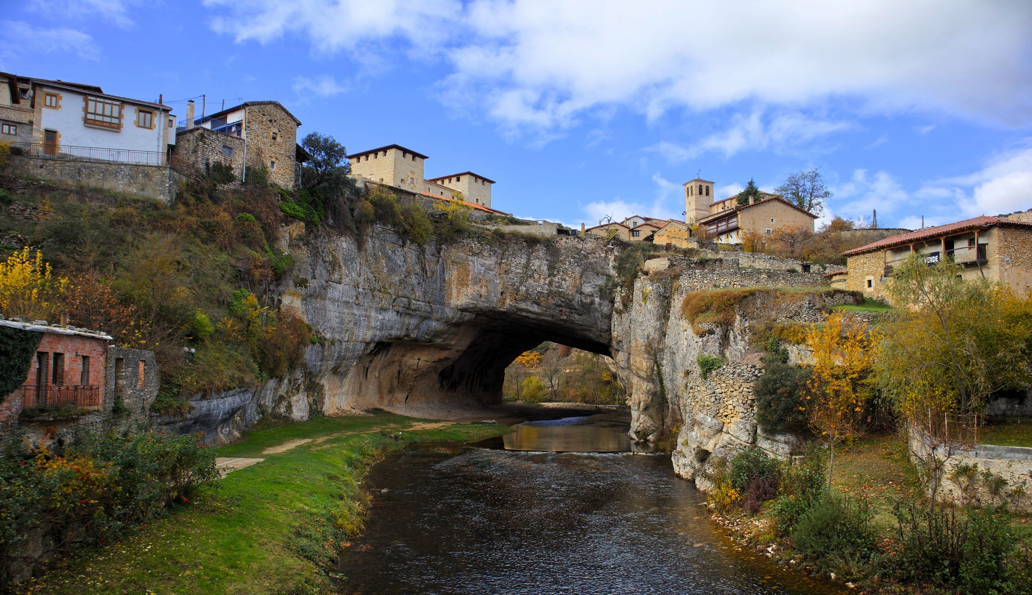
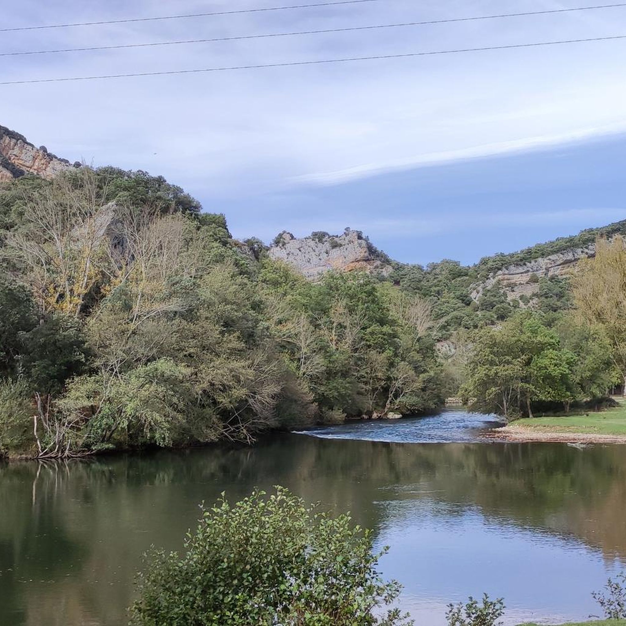
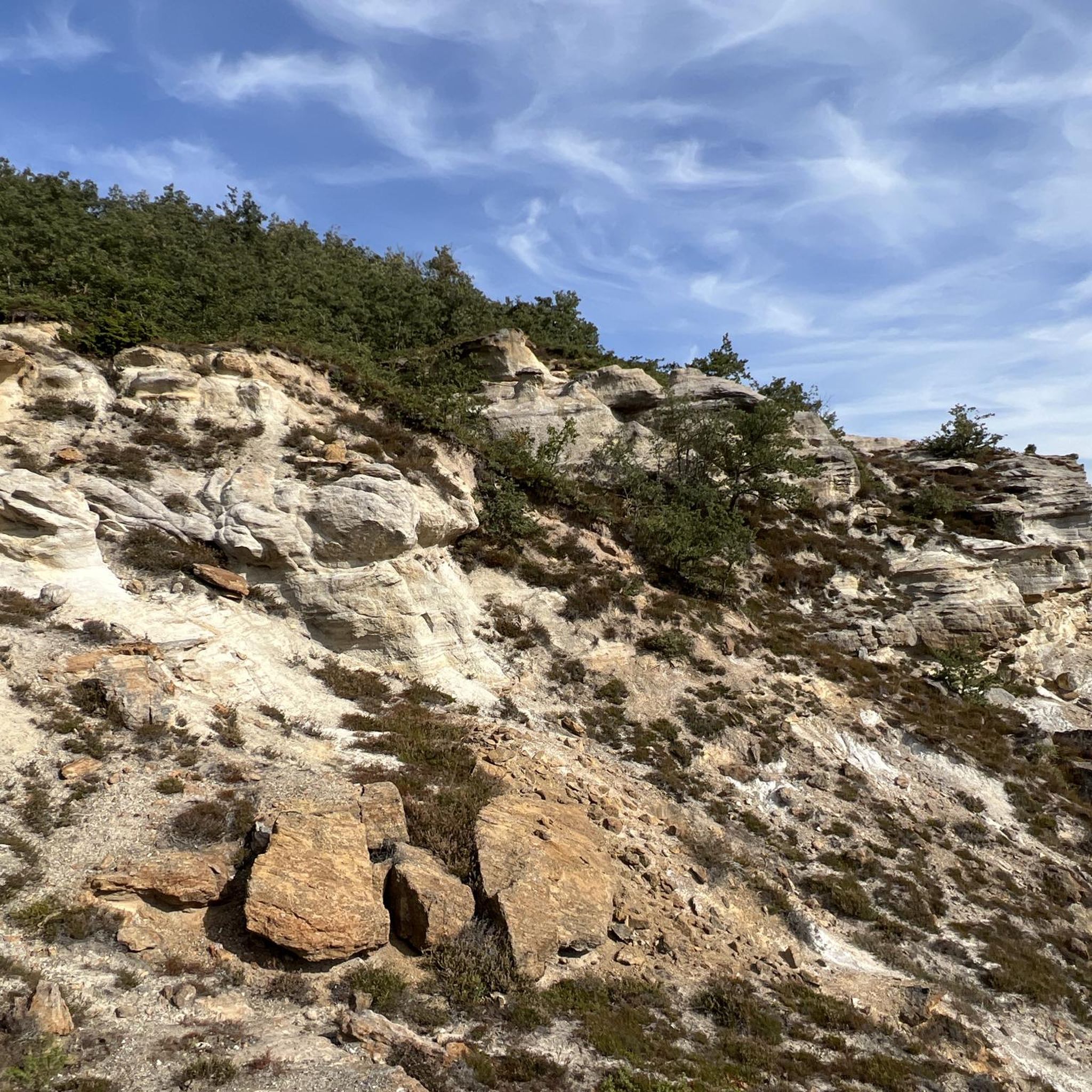

Other adventures around Los Altos

Tips from the Community


Spectacular area for hiking routes
0
0
Spectacular area for hiking routes
0
0

The waterfall springs from the Cueva del Agua from a height of over 20 meters, at the base of the rocky cirque that embraces the village, originating from an aquifer located in the subsoil of the Páramo de Bricia, and it leaps everywhere, dividing the village into two halves, the Villa and the Puebla, and descends among the stone houses, creating a most photogenic scene.
2
0
A spectacular area for hiking trails
0
0

You might not want to go up to the village because you're too lazy, but once you get there, I assure you, you won't regret it. You can walk up the stairs or bike along the road from the village exit (heading upriver). It's clear that this is a tourist destination because it's home to most of the area's bars and restaurants.
0
0

Very nice and comfortable route, there is a stretch of about 6km of narrow road and the vehicles do not respect it.
0
0

Stunning views from any point on the PR above Orbaneja.
4
0
Frequently Asked Questions
How many running routes are available in Los Altos?
There are over 15 dedicated running routes around Los Altos, offering a diverse range of experiences from moderate paths to more challenging trails with significant elevation changes. The komoot community has explored these routes over 100 times.
What kind of terrain can I expect on jogging trails in Los Altos?
Jogging routes in Los Altos feature varied terrain, including rolling hills, lush landscapes, and suburban pathways. You'll find trails winding through natural preserves like Rancho San Antonio County Park and Open Space Preserve, offering a mix of open grasslands, shaded redwood groves, and chaparral-covered hillsides. The area maintains a semi-rural feel with broad dirt shoulders in many places.
Are there any running routes with significant elevation for a challenging workout?
Yes, Los Altos offers several challenging running routes with significant elevation gains, especially those closer to the Santa Cruz Mountains. For instance, the Hoz de Orbaneja del Castillo – Orbaneja del Castillo loop from Escalada is a difficult 12.8-mile path with over 600 meters of elevation gain. You can also find challenging trails in areas like Monte Bello Open Space Preserve, leading to peaks like Black Mountain.
Can I find family-friendly jogging paths in Los Altos?
While specific family-friendly routes are not detailed in the guide, Los Altos has several parks with walking paths suitable for leisurely jogs or strolls with family. Redwood Grove Nature Preserve offers peaceful trails along Adobe Creek, and Shoup Park is known for its serene atmosphere and lush greenery, perfect for a relaxed family outing.
Are there any dog-friendly running trails in Los Altos?
Many parks and open spaces in Los Altos, such as Rancho San Antonio County Park and Open Space Preserve, generally welcome dogs on trails, often requiring them to be on a leash. Hillview Park also features a dog park, making it a versatile option for joggers with canine companions. Always check specific park regulations before heading out.
What are some scenic viewpoints or natural features I can see while running in Los Altos?
Los Altos offers picturesque backdrops for running. You can enjoy panoramic views of Silicon Valley and the San Francisco Bay from elevated positions. Trails in Rancho San Antonio provide stunning views of the Santa Cruz Mountains. Additionally, you might encounter natural monuments like the View of the Ebro Meander from Hoces del Alto Ebro y Rudrón Natural Park, or the Orbaneja del Castillo Rock Formations. The region is also home to beautiful waterfalls, such as the Turquoise Pools and Waterfalls of Orbaneja del Castillo.
Are there any circular running routes in the Los Altos area?
Yes, Los Altos features several circular running routes. A popular moderate option is the Mirador del Cañón del Ebro — circular Parque Natural Hoces del Alto Ebro y Rudrón, which is 5.4 miles long. Another option is the Plaza Mayor – Villarcayo Town Hall loop from Villarcayo de Merindad de Castilla la Vieja, also around 5.4 miles, leading through varied terrain.
What is the best season for jogging in Los Altos?
Los Altos generally offers pleasant running conditions year-round. Spring is particularly beautiful with wildflowers blooming in preserves like Rancho San Antonio. The semi-rural atmosphere and varied terrain make it enjoyable in most seasons, though summer mornings or evenings might be preferable to avoid peak heat.
Are there any less crowded running routes in Los Altos?
While popular spots like Rancho San Antonio can get busy, exploring the extensive trail networks in Los Altos Hills Pathways or the quieter sections of Stevens Creek Trail might offer a more secluded experience. The Redwood Grove Nature Preserve also provides a peaceful environment for a less crowded jog.
What do other runners say about jogging in Los Altos?
The running routes in Los Altos are highly rated by the komoot community, with an average score of 5.0 stars. Runners often praise the diverse terrain, from rolling hills to natural preserves, and the scenic views of the Santa Cruz Mountains and Silicon Valley.
Are there any long-distance running routes available?
Yes, for those seeking longer distances, Los Altos offers several options. The Hoz de Orbaneja del Castillo – Orbaneja del Castillo loop from Escalada is a challenging 12.8-mile route. Another difficult long-distance option is the Peña Corva loop from Bisjueces, spanning over 14.5 miles with significant elevation.
Are there any waterfalls near the jogging routes in Los Altos?
Yes, the region around Los Altos features several beautiful waterfalls that can be highlights of your run or a nearby excursion. Notable waterfalls include the Turquoise Pools and Waterfalls of Orbaneja del Castillo, Tubilla del Agua Waterfalls, and Tubilla Waterfall. These can add a refreshing element to your outdoor activity.
Most popular attractions around Los Altos

Get inspired with the komoot mobile app


Explore more
Browse the best Running Trails & Routes in other regions.
