The best walks and hikes around Національний природний парк «Сколівські Бескиди»
4.9
(23)
302
hikers
26
hikes
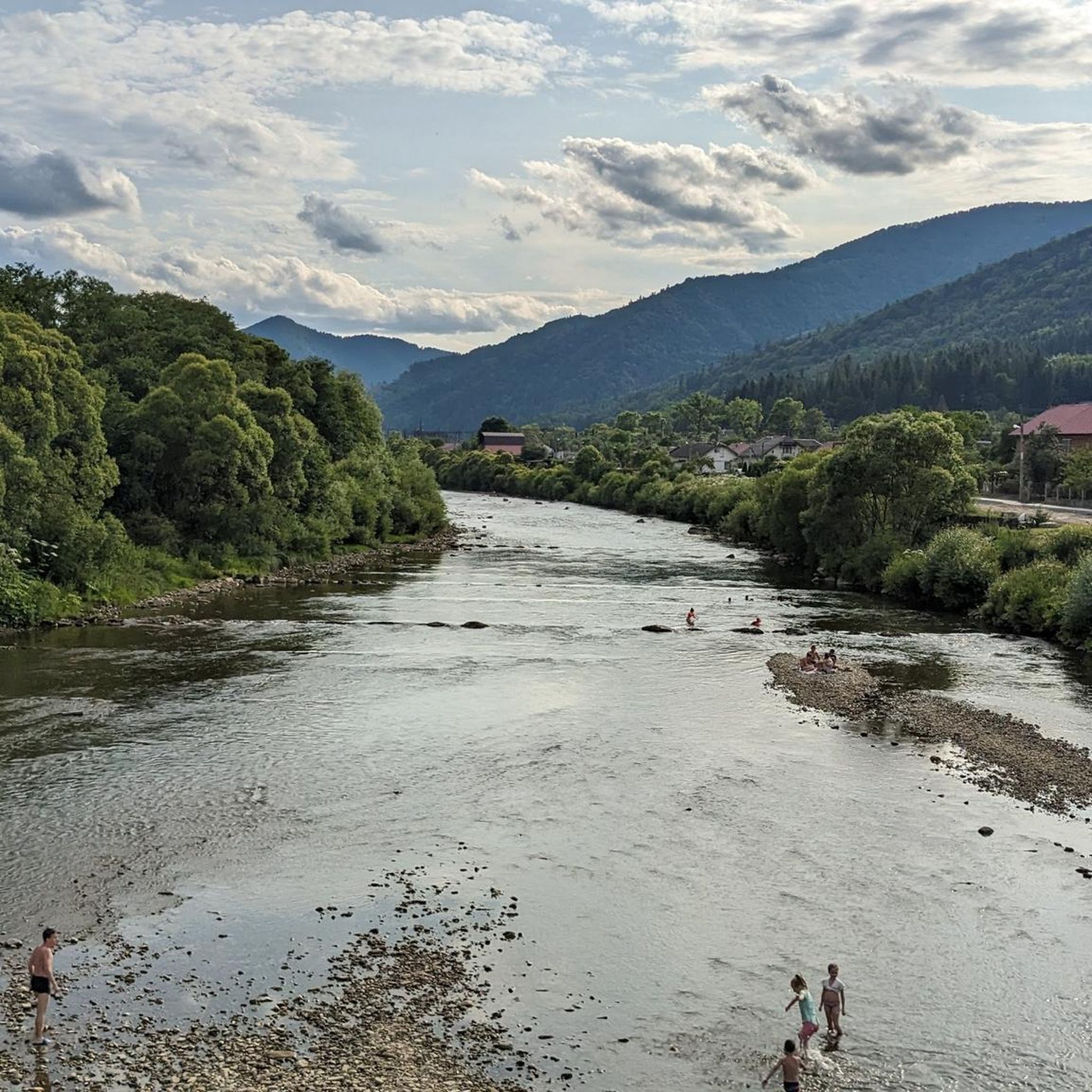
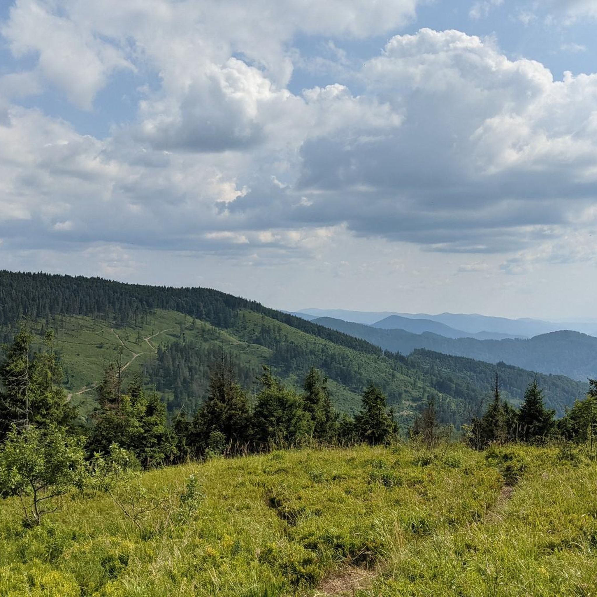
Hiking around Національний природний парк «Сколівські Бескиди» offers diverse trails within the Ukrainian Carpathians. The region features picturesque, relatively low mountain ranges with rounded peaks, such as Mount Parashka (1268 m) and Mount Lopata (1210 m). Extensive ancient forests of beech, spruce, and fir trees cover much of the park, alongside numerous mountain streams and waterfalls like Kamianka. Unique geological formations, including the impressive Dovbush Rocks, also characterize the landscape.
Best hiking trails around Національний природний парк «Сколівські Бескиди»
- The…
Last updated: July 8, 2026
4.7
(7)
82
hikers
20.2km
06:48
970m
970m
Hard hike. Very good fitness required. Easily-accessible paths. Suitable for all skill levels.
5.0
(1)
25
hikers
16.2km
05:24
750m
750m
Hard hike. Very good fitness required. Easily-accessible paths. Suitable for all skill levels.

Sign up for free
4.5
(2)
17
hikers
16.8km
05:49
850m
850m
Hard hike. Very good fitness required. Easily-accessible paths. Suitable for all skill levels.
5.0
(1)
16
hikers
Easy hike. Great for any fitness level. Easily-accessible paths. Suitable for all skill levels.
5.0
(1)
14
hikers
5.36km
01:28
90m
90m
Easy hike. Great for any fitness level. Easily-accessible paths. Suitable for all skill levels.
Get access to more routes and recommendations from other explorers.
Sign up for free
Already have an account?
Our route recommendations are based on thousands of hikes, rides, and runs completed by other people on komoot.
Start today with a free account
Your next adventure awaits.
Login or Signup
Popular around Національний природний парк «Сколівські Бескиди»
Tips from the Community

The highest mountain of the Lviv region. There are 3 ways to get there. The most popular one is from Skole. The easiest one, to my mind is from Korostiv. All the ways have track marks somewhere, there are not enough of them, so make sure you GPS device is charged and ready :)
0
0
There is another way to Chorna Klyva, without a wade :)
0
0

Unfortunately, there will not be very good views at the top because of the surrounding trees and bushes. Not really worth the effort to climb.
0
0

Ascent is possible only on foot, descent on MTB
0
0
Frequently Asked Questions
How many hiking trails are available in Національний природний парк «Сколівські Бескиди»?
The park offers a comprehensive network of over 25 marked hiking trails, spanning approximately 145 km. These routes cater to various skill levels, from easy strolls to challenging mountain ascents.
Are there easy hiking trails suitable for beginners or families?
Yes, the park has several easy routes perfect for beginners or families. For instance, the Little Rock – Ostryi Kamin loop from Державний історико-культурний заповідник «Тустань» is an easy 3.3-mile (5.3 km) trail near the historic Tustan fortress. Another accessible option is the Hiking loop from Korchyn, which is also rated as easy.
What kind of natural attractions can I expect to see while hiking?
While hiking, you'll encounter diverse natural beauty. The park is known for its ancient forests of beech, spruce, and fir. You can also discover numerous mountain streams and beautiful waterfalls, such as the well-known Kamianka Waterfall and Sopit Waterfall. Unique alpine lakes like Lake Zhuravlyne (Dead Lake) and rare raised swamps also add to the scenic variety.
Are there any historical or cultural sites to explore near the trails?
Absolutely. A significant historical attraction is the ancient Rus city-fortress of Tustan, carved into the rocks, which once served as a defense against invaders. The impressive Dovbush Rocks also offer a blend of natural beauty and historical intrigue, with stone giants up to 60 meters high. The park also contains historic wooden churches and examples of traditional folk architecture.
What are the options for public transport to reach the hiking areas?
The region is generally accessible, but specific public transport options to individual trailheads within the park can vary. It's advisable to check local bus or train schedules to towns like Skole, which often serve as starting points for many routes, and then plan for local connections or taxis to reach more remote trailheads.
Is parking available at the trailheads?
Parking availability varies depending on the specific trailhead. Major access points and popular attractions like the Dovbush Rocks or areas near Skole often have designated parking facilities. For less frequented routes, roadside parking might be an option, but it's always recommended to check local regulations and signage.
Are there any circular hiking routes in the park?
Yes, many of the park's trails are designed as circular routes, allowing you to start and end at the same point. Examples include the challenging Lopata Summit loop from Сколе and the easier Little Rock – Ostryi Kamin loop from Державний історико-культурний заповідник «Тустань».
What is the best time of year to go hiking in Національний природний парк «Сколівські Бескиди»?
The park is beautiful year-round, but the best time for hiking is typically from late spring (May) through early autumn (October). During these months, the weather is generally mild, trails are clear of snow, and the forests are lush. Autumn offers spectacular fall foliage. Winter hiking is possible but requires appropriate gear and experience due to snow and ice.
What do other hikers say about their experience in Національний природний парк «Сколівські Бескиди»?
The hiking experiences in Національний природний парк «Сколівські Бескиди» are highly rated by the komoot community, with an average score of 4.9 stars from over 20 reviews. Hikers often praise the park's ancient, untouched forests, the panoramic views from mountain summits like Parashka, and the unique geological formations such as the Dovbush Rocks.
Are there any challenging routes for experienced hikers?
Experienced hikers will find several challenging routes. For instance, the Zelemin Mountain Summit – Lopata Summit loop from Сколе is a difficult 10.4-mile (16.8 km) path with significant elevation gain, leading through dense forests to mountain summits.
Can I bring my dog on the hiking trails?
While the park is a natural area, specific regulations regarding dogs on trails can vary. It's generally recommended to keep dogs on a leash to protect wildlife and ensure the safety of other hikers. Always check the latest park rules or contact the park administration directly for detailed information on pet policies before your visit.
Where can I find refreshments or accommodation near the park?
Towns bordering the park, such as Skole, offer various options for refreshments and accommodation, including cafes, restaurants, and guesthouses. Some popular tourist areas within or near the park, like the vicinity of Tustan or the Dovbush Rocks, may also have small eateries or souvenir shops. Camping is also an option in designated areas.
Most popular routes around Національний природний парк «Сколівські Бескиди»

Get inspired with the komoot mobile app


Explore more
Browse the best Hikes in other regions.
