The best road cycling routes around Fuenterroble De Salvatierra
4.6
(8)
816
riders
56
rides
Road cycling routes around Fuenterroble De Salvatierra traverse the Entresierras region, a transitional landscape between the mountainous Sierra de Francia and Sierra de Béjar and the Salamanca plateau. The area features diverse terrain, including sections of the historic Vía de la Plata and the western part of the Sierra de Tonda. Cyclists encounter varied environments, from dehesa pasturelands with Holm oaks to areas with granite formations and views of the Alagón River Valley. The region offers undulating terrain suitable for…
Last updated: May 16, 2026
71.5km
03:31
1,080m
1,080m
This difficult 44.4-mile road cycling route from Guijuelo features significant climbs, scenic views, and the Embalse de Santa Teresa.
68
riders
99.5km
04:55
1,270m
1,270m
Hard road ride. Very good fitness required. Some segments of this route may be unpaved and difficult to ride.

Sign up for free
55
riders
110km
05:38
1,890m
1,890m
Hard road ride. Very good fitness required. Mostly well-paved surfaces and easy to ride.
86
riders
109km
05:41
1,920m
1,920m
Hard road ride. Very good fitness required. Mostly well-paved surfaces and easy to ride.
40
riders
116km
06:08
2,070m
2,070m
Hard road ride. Very good fitness required. Some segments of this route may be unpaved and difficult to ride.
Get access to more routes and recommendations from other explorers.
Sign up for free
Already have an account?
Our route recommendations are based on thousands of hikes, rides, and runs completed by other people on komoot.
Start today with a free account
Your next adventure awaits.
Login or Signup
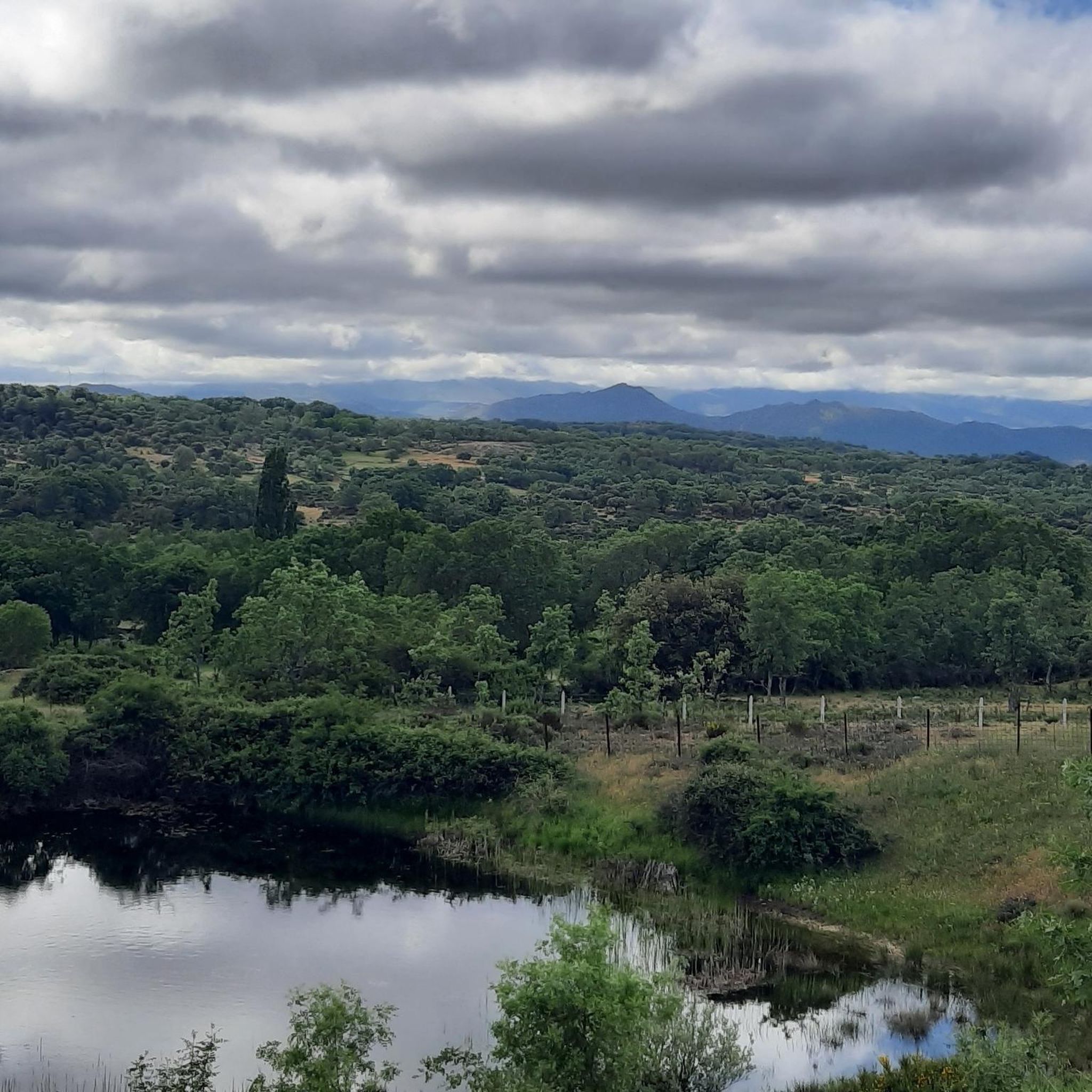
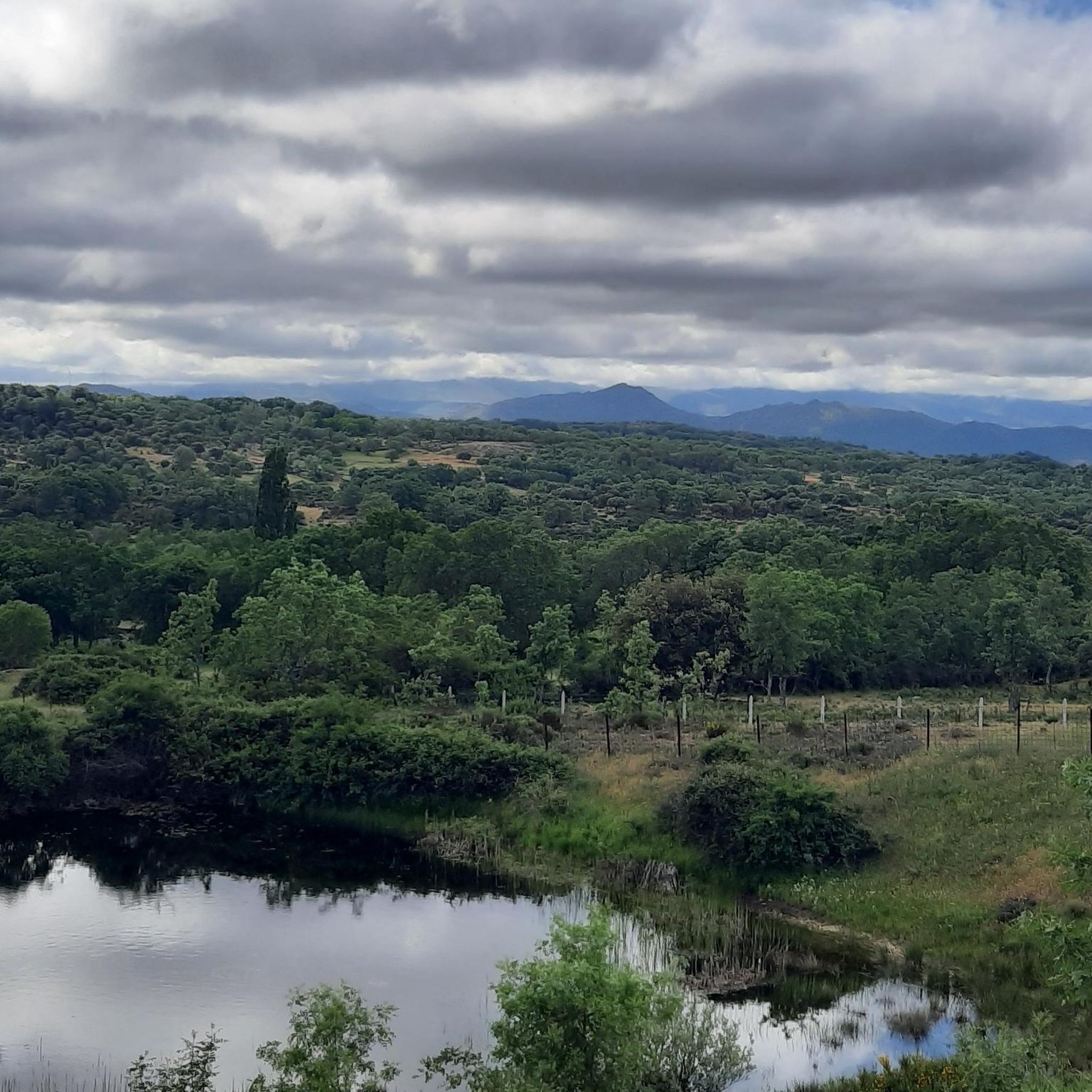
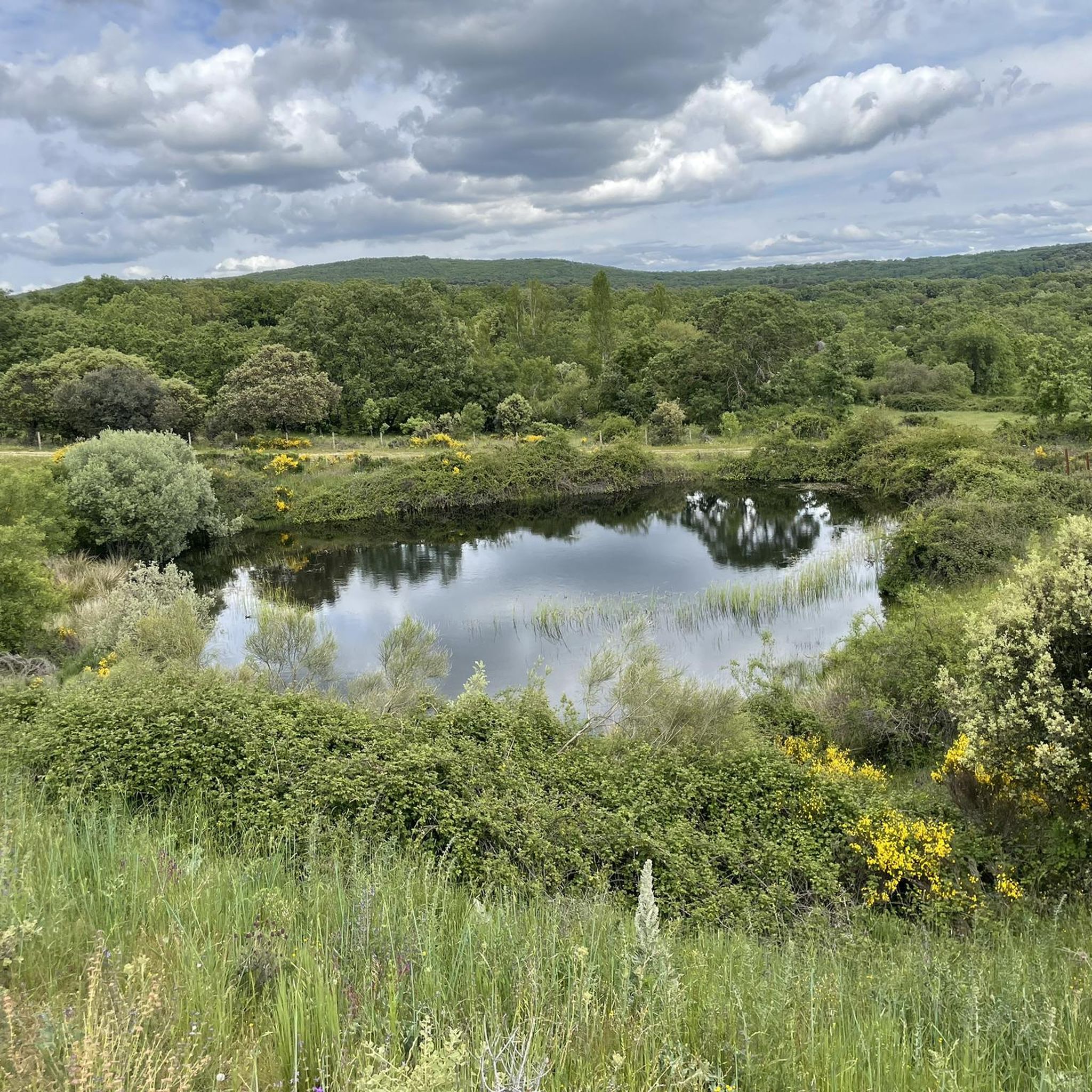

Tips from the Community

On the SA-205 highway, just outside San Esteban de la Sierra heading towards Santibáñez de la Sierra, you'll find the entrance to the Sierra Viewpoints Route, which includes several spectacular panoramic viewpoints. Views: The Alagón River Valley and its meanders. The Sierra de Francia mountain range with the Peña de Francia peak in the background. The Sierra de Béjar mountain range and the Las Quilamas Natural Area. This viewpoint is a magnificent natural balcony, perfect for photography and birdwatching (vultures, eagles, black storks).
2
0
What to see in Miranda del Castañar Medieval Walls: Over 600 meters remain intact, with four gates facing the cardinal directions: San Ginés, Nuestra Señora, La Villa, and El Postigo. Zúñiga Castle: A 15th-century fortress, symbol of the former County of Miranda. Although the interior is not open to the public, its exterior and keep are impressive. Square Bullring: Considered one of the oldest in Spain, built in the 16th century on the site of the former parade ground. Church of Santiago and San Ginés: Gothic in style (13th-16th centuries), with a detached 17th-century bell tower. Houses with Coats of Arms: More than 80 noble coats of arms adorn the facades, reflecting the town's aristocratic past.
8
0
Miranda del Castañar, one of the most beautiful villages in Spain, is located in the Sierra de Francia (Salamanca): Founded in 1213 by Alfonso IX of León as a town and council, it was the administrative capital of the Sierra de Francia. In the 15th century, the County of Miranda was created under the control of the Zúñiga family, consolidating its strategic importance.
9
0
The Soto Bridge, also known as the Roman Bridge of Sotoserrano, is a historic stone structure that spans the Alagón River in the Las Batuecas-Sierra de Francia Natural Park. It is located in the town of Sotoserrano, famous for being at the confluence of three rivers: the Alagón, the Francia, and the Cuerpo de Hombre. The bridge is one of the town's symbols and a key point on several hiking and cycling routes.
2
0
The Old Bridge of El Barco de Ávila, also known as the Medieval Bridge, is one of the most representative symbols of this town in Ávila. It crosses the Tormes River and connects the historic center with the old communication route to Castile and León. Although its current structure is medieval (12th–13th centuries), it is believed to have been built on Roman foundations.
1
0
Valdecorneja Castle, located in El Barco de Ávila, is a medieval gem that dominates the Tormes River valley from a strategic, elevated position. It is one of the most emblematic monuments in the province of Ávila and a must-see for history and architecture lovers.
2
0

Built on a Vettonian fort that was destroyed by the Romans, it was built in the 12th century and rebuilt in the 14th century. After being conquered from the Arabs, King Alfonso VI donated the Lordship of Valdecorneja to his daughter and son-in-law, Ramon de Borgoña, for repopulation. At the beginning of the 14th century, Henry II of Trastamara donated these lands to the House of Alba in the person of Don García Álvarez de Toledo. The House of Alba was responsible for building the castle. Grand Duke Don Fernando Álvarez de Toledo had his second residence here. During the Peninsular War, it suffered significant deterioration, not only due to the war itself but also because its stones were used to build private homes. The old interior arcade (which apparently formed a double gallery on the inside of the tower) was dismantled and rebuilt to provide arcades for the town hall building, located in the Plaza Mayor. Between 1851 and 1904, the interior of the castle grounds was used as a municipal cemetery, which further deteriorated its condition. Today, the exterior is in perfect condition after restorations carried out in 1985 and 2004, preserving its original perimeter. The pavement and part of the keep were repaired. Access to the monument is free, and visitors can see the well located in the center of the courtyard, a vaulted cistern excavated in the subsoil rock, and the ancient windows and oriel windows with double pointed arches. The courtyard is used for certain cultural events held in this town.
1
0

A spectacular place to ride a bike, a small port with a constant slope, but with spectacular views. Be careful on the descent because the road is not in the best possible condition, lots of gravel and the occasional pothole.
0
0
Frequently Asked Questions
How many road cycling routes are available in the Fuenterroble De Salvatierra area?
There are over 50 road cycling routes around Fuenterroble De Salvatierra, offering a diverse range of experiences from moderate rides to challenging climbs. These routes traverse the unique Entresierras region, which lies between the mountainous Sierra de Francia and Sierra de Béjar, and the Salamanca plateau.
What kind of terrain can I expect on road cycling routes around Fuenterroble De Salvatierra?
The terrain is quite varied, reflecting the region's position in the Entresierras. You'll encounter undulating landscapes, sections of the historic Vía de la Plata, and areas within the western part of the Sierra de Tonda. Expect picturesque dehesa pasturelands with Holm oaks, unique granite formations, and views of the Alagón River Valley. Some routes, particularly towards the Sierra de la Dueña, can reach elevations up to 1,170 meters.
Are there any challenging road cycling routes for experienced riders?
Yes, the region offers several challenging routes. For instance, the Puerto de Béjar – Puerto de Honduras loop from Antigua Estación de Guijuelo is a difficult 156 km ride with nearly 3,000 meters of elevation gain, designed for experienced cyclists seeking significant climbs and long distances. Another demanding option is the Puerto de Béjar – Miranda de Castañar loop from Antigua Estación de Guijuelo, covering over 120 km with substantial elevation.
Can I find moderate road cycling routes suitable for a good workout?
Absolutely. Many routes in the area are classified as moderate, providing a good balance of distance and elevation. A popular choice is the Ventorro Pelayo Viewpoint – Ascent to Puerto de Cristóbal loop from Antigua Estación de Guijuelo, a 65.9 km path that features undulating terrain and panoramic viewpoints, perfect for a rewarding ride without extreme difficulty.
What are some interesting landmarks or viewpoints I can see along the road cycling routes?
The routes often pass by significant historical and natural features. You might encounter sections of the ancient Vía de la Plata, which has historical importance. Near Los Santos, you can observe unique granite formations, and the Granite Theme Park is a notable attraction. The Guijuelo Jamón District is also nearby, offering a glimpse into local traditions. Many routes also provide scenic viewpoints over the Entresierras landscape.
Are there any circular road cycling routes in the area?
Yes, many of the road cycling routes around Fuenterroble De Salvatierra are designed as loops, allowing you to start and end in the same location. For example, the El Mirón Castle and Puente del Congosto Loop from Guijuelo is a popular circular route that takes you past historical landmarks.
What is the best time of year for road cycling in Fuenterroble De Salvatierra?
The region generally offers pleasant conditions for road cycling during spring and autumn. These seasons typically provide milder temperatures and less extreme weather, making for more comfortable rides. Summers can be hot, especially in the middle of the day, while winters can be cooler with a higher chance of rain.
Are there any facilities like cafes or accommodation along the road cycling routes?
While specific cafes are not listed for every route, the towns and villages along the Vía de la Plata and within the Entresierras region, such as Fuenterroble de Salvatierra itself, offer amenities. You can often find places to rest, refuel, and even stay overnight. The Albergue Parroquial Santa María is an example of a facility that caters to travelers, including cyclists.
What do other road cyclists enjoy most about cycling in Fuenterroble De Salvatierra?
The area is highly rated by the komoot community, with an average score of 4.6 stars from 8 reviews. Cyclists often praise the varied terrain, the scenic beauty of the Entresierras region, and the historical context provided by routes like the Vía de la Plata. The mix of challenging climbs and enjoyable undulating sections also contributes to a rewarding experience.
Is it possible to combine road cycling with exploring local culture or history?
Absolutely. Fuenterroble de Salvatierra is a significant point along the Vía de la Plata, an ancient route rich in history. Cycling here allows you to trace the paths of Romans, pilgrims, and cattle drovers. You can also explore local cultural elements like the parish church and the hermitage of Fuenterroble, dedicated to Cristo del Socorro, directly from your bike.
Are there any long-distance road cycling options available?
Yes, the region is part of longer cycling networks. The Vía de la Plata itself is a long-distance route, and sections of the EuroVelo 1 route pass through the area, such as the 'Salamanca - Fuenterroble de Salvatierra' segment. These provide opportunities for extended tours, connecting various towns and landscapes across the province of Salamanca.
Most popular routes around Fuenterroble De Salvatierra
Most popular attractions around Fuenterroble De Salvatierra

Get inspired with the komoot mobile app


Explore more
Browse the best Road cycling routes in other regions.
