The best cycling routes around Olmos De Ojeda
4.7
(29)
248
riders
37
rides
Touring cycling around Olmos De Ojeda offers a diverse landscape characterized by rolling hills, river valleys, and historical sites. The region features a mix of open countryside and areas with significant elevation changes, providing varied terrain for cyclists. Routes often incorporate views of the surrounding natural environment and cultural landmarks.
Best touring cycling routes around Olmos De Ojeda
- The most popular touring cycling route is Palencian Romanesque Loop, an 18.7 miles (30.1 km) trail that takes about 2 hours…
Last updated: October 5, 2026
30.1km
02:24
430m
430m
This 18.7-mile touring cycling route near Monasterio de San Andrés de Arroyo offers moderate difficulty and rich Romanesque history.
4.8
(4)
15
riders
121km
08:12
1,960m
1,960m
Hard bike ride. Very good fitness required. Mostly paved surfaces. Suitable for all skill levels.

4.0
(2)
10
riders
29.7km
02:17
280m
280m
Hard bike ride. Good fitness required. You may need to push your bike for some segments of this route.
12
riders
60.8km
05:27
1,090m
1,090m
Hard bike ride. Very good fitness required. You may need to push your bike for some segments of this route.
10
riders
Hard bike ride. Very good fitness required. Mostly paved surfaces. Suitable for all skill levels.
Get access to more routes and recommendations from other explorers.
Already have an account?
Our route recommendations are based on thousands of hikes, rides, and runs completed by other people on komoot.
Start today with a free account
Your next adventure awaits.
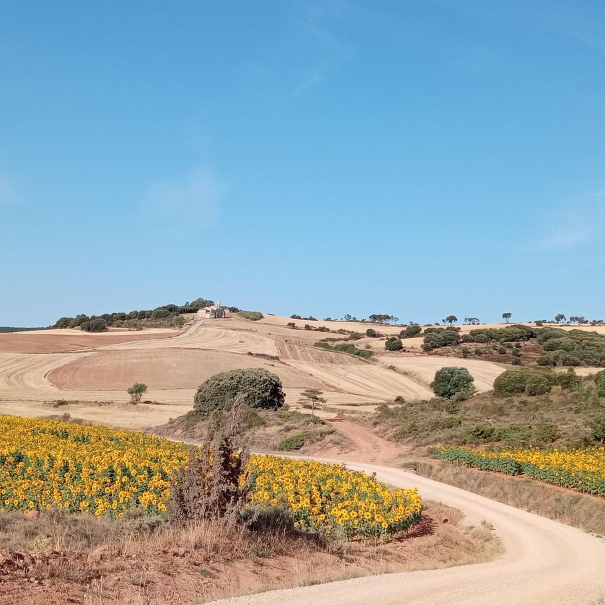
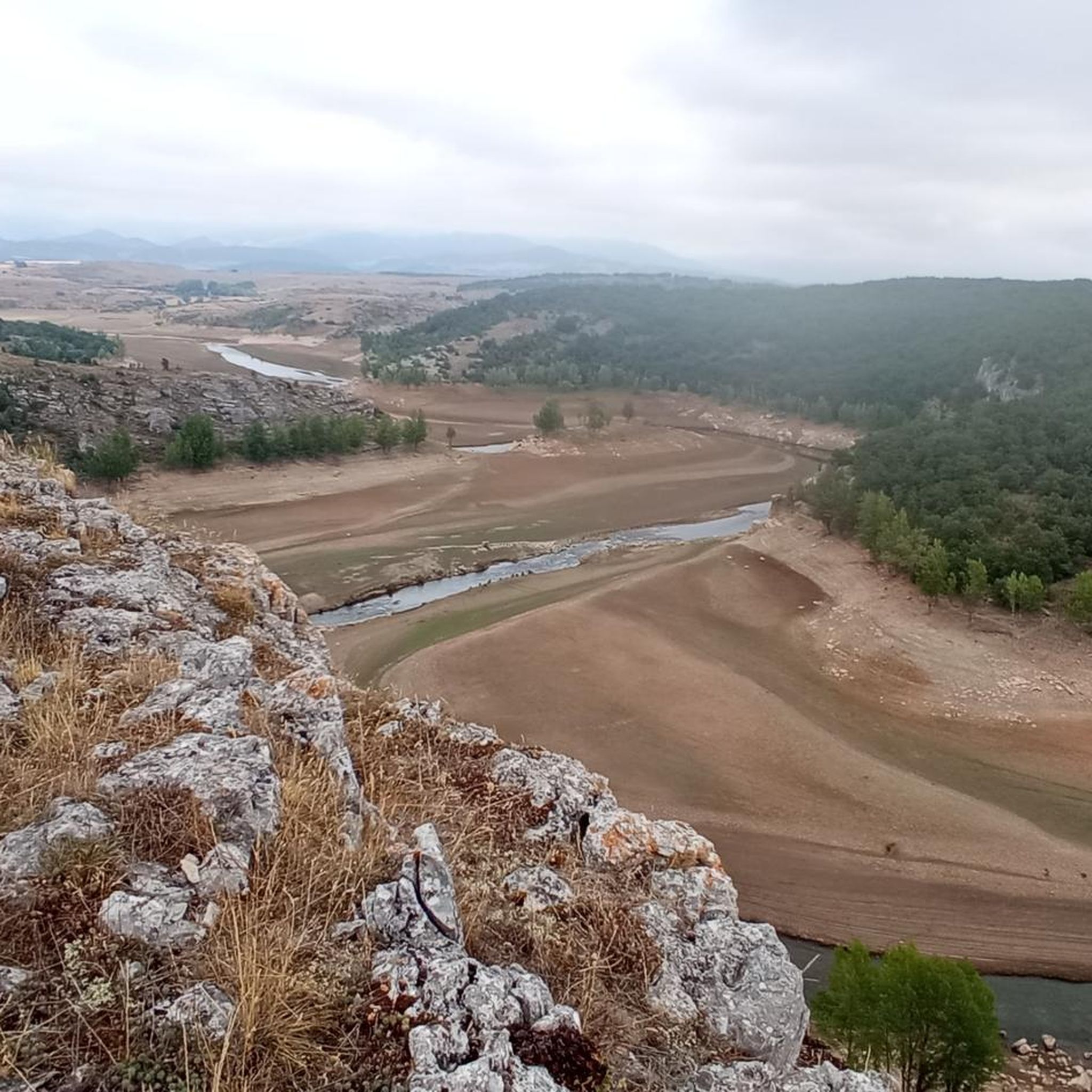
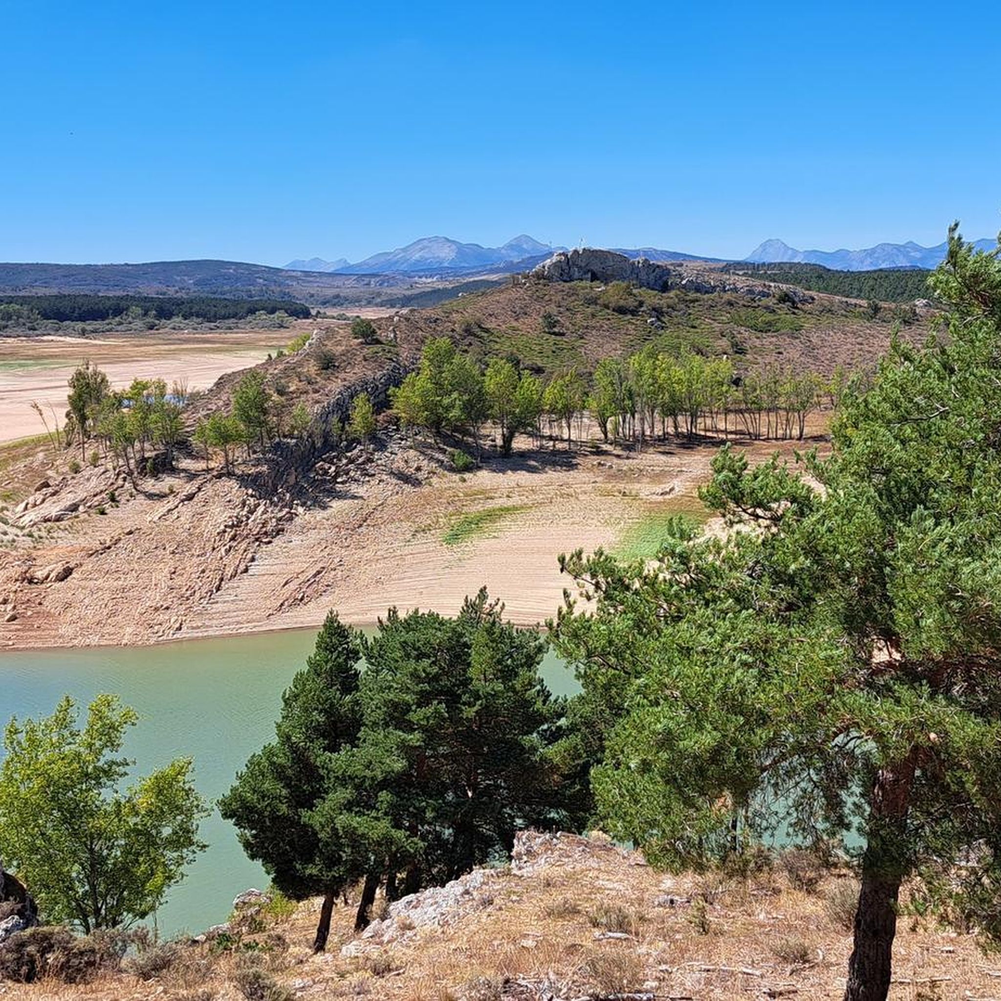


Tips from the Community

Beautiful village between mountains
0
0
Town with all services at the gates of the Palencia mountains. Much to see and enjoy culturally and in nature
0
0
Spectacular viewpoint, great reward after the long and pleasant climb!
0
0

Beautiful wooden suspension bridge of Cervera de Pisuerga.
0
0
Beautiful viewpoint between Triollo and Ventanilla.
0
0
Beautiful path that runs along the Ruesga reservoir
0
0
The Ruesga reservoir is a beautiful reservoir in the Montaña Palentina
0
0
Place with beautiful views
0
0
Frequently Asked Questions
How many touring cycling routes are available in Olmos De Ojeda?
There are over 30 touring cycling routes around Olmos De Ojeda, offering a wide range of options for different skill levels and preferences. The region features 2 easy routes, 9 moderate routes, and 23 difficult routes.
Are there any easy touring cycling routes suitable for beginners or families?
Yes, Olmos De Ojeda offers a few easier routes perfect for beginners or families. One such route is the Palencian Romanesque Loop, which is 30.1 km long and features moderate elevation gain through historical landscapes.
What are some longer touring cycling routes for experienced riders?
For experienced riders seeking a challenge, Olmos De Ojeda has several long-distance routes. The Piedrasluengas Viewpoint – Historic center of Potes loop from Vado-Cervera is a difficult 119.4 km path with significant climbs and scenic viewpoints. Another challenging option is the Hermitage of Santa Cecilia – Collegiate Church of St. Michael loop from Ermita de San Pelayo, spanning 69.6 km.
Are there any circular touring cycling routes in the area?
Many of the touring cycling routes in Olmos De Ojeda are designed as loops, allowing you to start and finish at the same point. Examples include the Palencian Romanesque Loop and the Cervera de Pisuerga – Alto de La Varga Viewpoint loop from Vado-Cervera.
What kind of scenery can I expect on touring cycling routes around Olmos De Ojeda?
Touring cycling around Olmos De Ojeda offers a diverse landscape of rolling hills, river valleys, and historical sites. Routes often provide views of the natural environment and cultural landmarks, including Romanesque architecture and charming villages.
What are some notable landmarks or attractions to see along the routes?
The region is rich in historical and natural attractions. Along your rides, you might encounter the historic Salinas de Pisuerga Bridge, the charming town of Cervera de Pisuerga, or the serene Hermitage of Santa Cecilia. Some routes also pass by natural highlights like the Tejeda de Tosande Yew Forest Trail.
What is the best season for touring cycling in Olmos De Ojeda?
The best seasons for touring cycling in Olmos De Ojeda are typically spring and autumn. During these months, the weather is generally mild, and the natural scenery is at its most vibrant, making for comfortable and picturesque rides. Summer can also be pleasant, especially in the mornings or late afternoons, while winter may present colder conditions.
Are there any moderate touring cycling routes for those looking for a balanced challenge?
Yes, there are 9 moderate touring cycling routes in Olmos De Ojeda. A good example is the Salinas de Pisuerga Bridge – Salinas de Pisuerga loop from Vado-Cervera, which is 25.5 km long and offers a balanced ride through the local landscape.
What do other touring cyclists say about the routes in Olmos De Ojeda?
The touring cycling routes in Olmos De Ojeda are highly rated by the komoot community, with an average score of 4.7 stars from more than 20 reviews. Cyclists often praise the diverse terrain, the blend of natural beauty and historical sites, and the variety of challenges available.
Is it possible to find parking near the starting points of the touring cycling routes?
While specific parking information for each route varies, many towns and villages in the Olmos De Ojeda region, such as Cervera de Pisuerga, offer public parking facilities that can serve as convenient starting points for your touring cycling adventures.
Are dogs allowed on the touring cycling routes?
Generally, dogs are welcome on many outdoor trails in the region, especially if kept on a leash. However, it's always advisable to check local regulations or specific route details, particularly if a route passes through protected areas or private land, to ensure a pleasant experience for everyone.
Most popular routes around Olmos De Ojeda
Most popular attractions around Olmos De Ojeda

Get inspired with the komoot mobile app


Explore more
Browse the best Cycling routes in other regions.
