The best walks and hikes around Południoworoztoczański Park Krajobrazowy
4.7
(16)
156
hikers
16
hikes
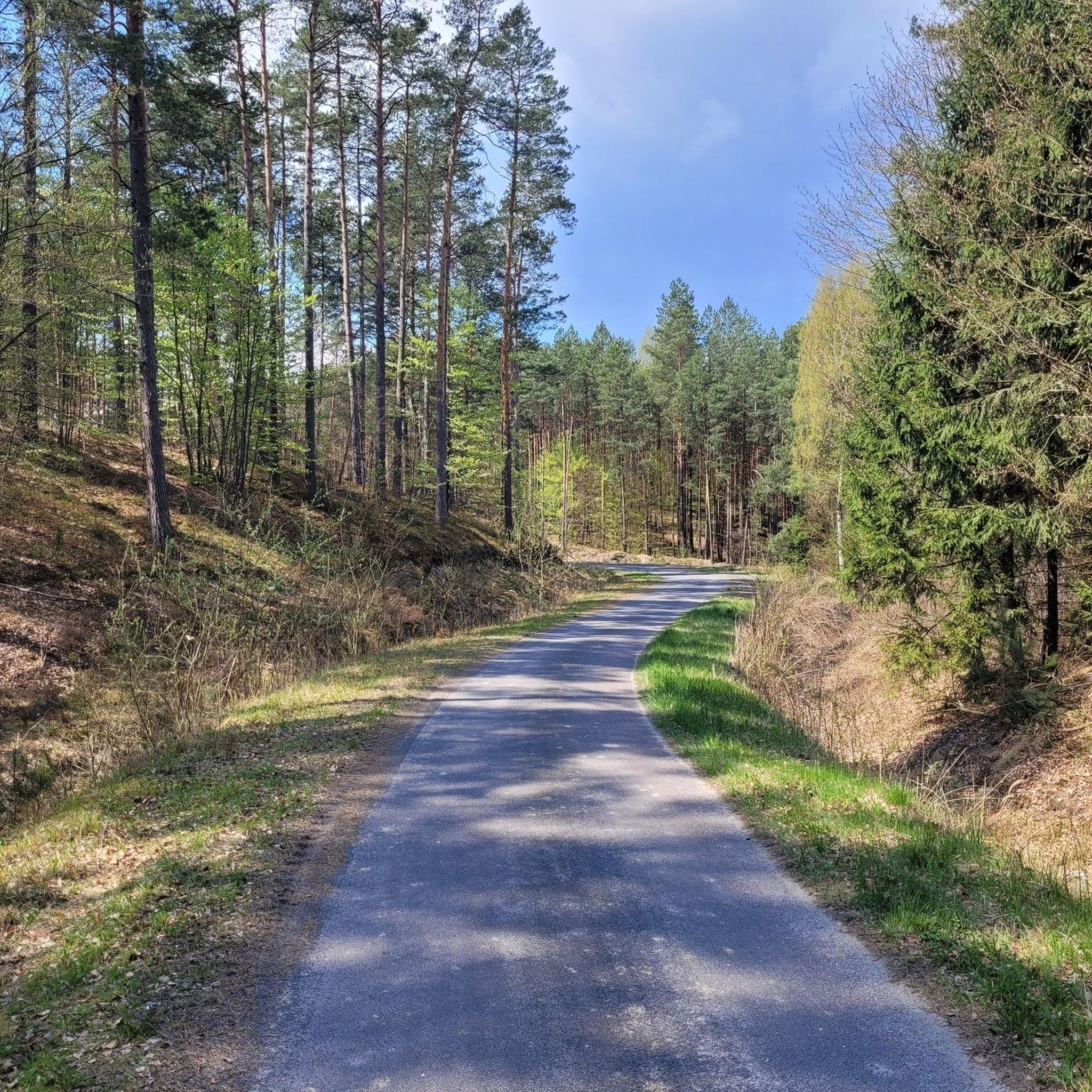
Hiking around Południoworoztoczański Park Krajobrazowy offers varied terrain characterized by picturesque isolated hills, deep gorges, and river valleys. The landscape features elevation differences ranging from 80 to 200 meters, with slopes up to 45 degrees. Dense forest complexes, including valuable Carpathian beech forests, cover over half of the park's area. The region also presents geological curiosities such as rocky outcrops of calcareous marl and unique fossilized wood deposits.
Best hiking trails in Południoworoztoczański Park Krajobrazowy
- The most popular hiking route…
Last updated: July 7, 2026
4.2
(5)
13
hikers
Easy hike. Great for any fitness level. Easily-accessible paths. Suitable for all skill levels.
3
hikers
Moderate hike. Good fitness required. Easily-accessible paths. Suitable for all skill levels.

Sign up for free
4.55km
01:11
30m
30m
This easy 2.8-mile loop in South Roztocze Landscape Park features ancient petrified trees, the Jalinka Nature Reserve, and the Chapel on the
5.0
(5)
45
hikers
6.71km
01:52
130m
130m
Easy hike. Great for any fitness level. Easily-accessible paths. Suitable for all skill levels.
5.0
(1)
7
hikers
8.30km
02:12
80m
90m
Moderate hike. Good fitness required. Easily-accessible paths. Suitable for all skill levels.
Get access to more routes and recommendations from other explorers.
Sign up for free
Already have an account?
Our route recommendations are based on thousands of hikes, rides, and runs completed by other people on komoot.
Start today with a free account
Your next adventure awaits.
Login or Signup
Popular around Południoworoztoczański Park Krajobrazowy
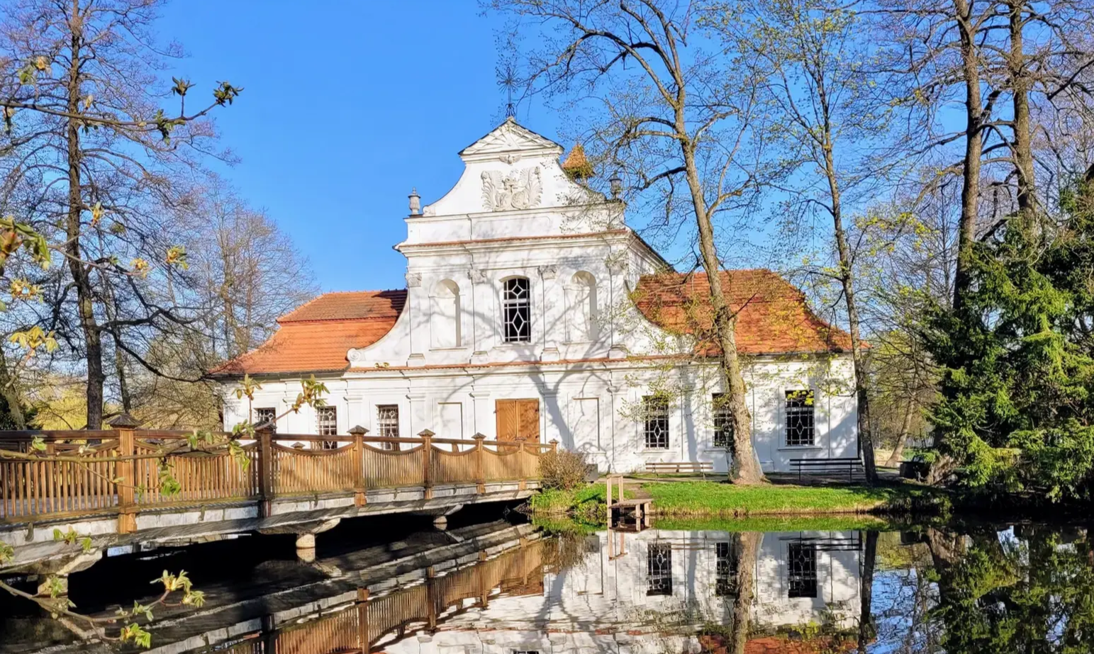
Central Roztocze Trail - beautiful forests and magnificent monuments
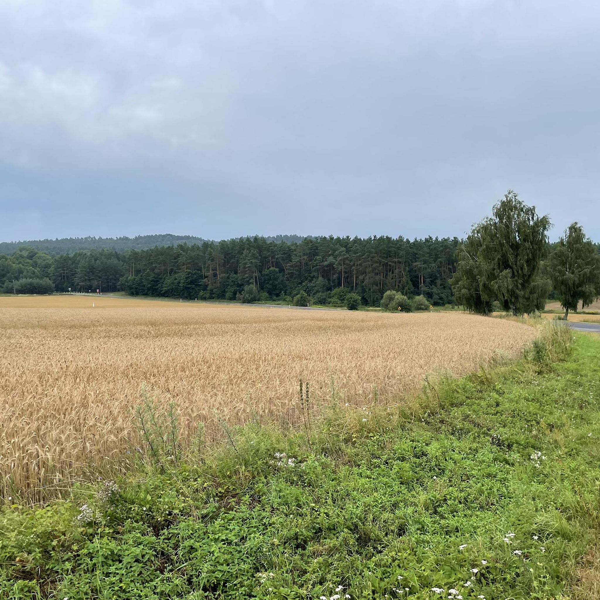
Cycling around Południoworoztoczański Park Krajobrazowy
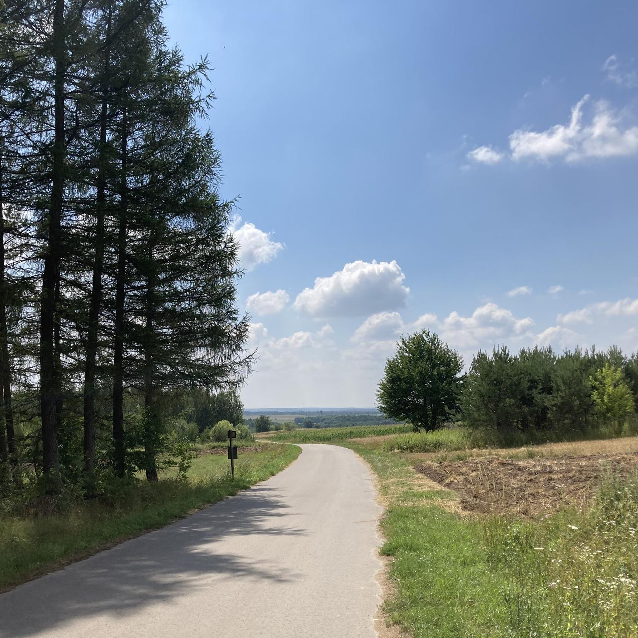
Road Cycling Routes around Południoworoztoczański Park Krajobrazowy
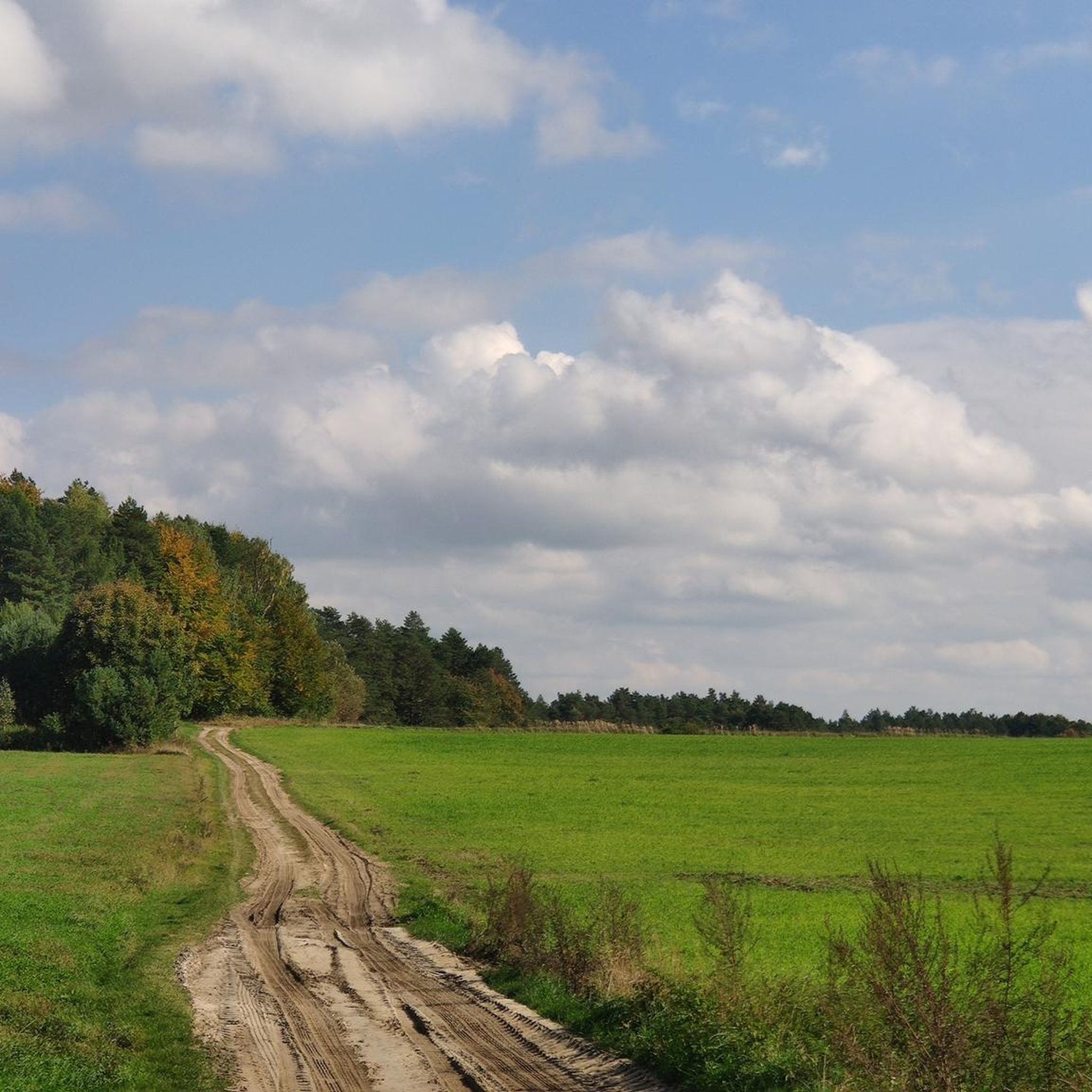
MTB Trails around Południoworoztoczański Park Krajobrazowy
Running Trails around Południoworoztoczański Park Krajobrazowy
Other adventures around Południoworoztoczański Park Krajobrazowy

Tips from the Community

Two-story bunker for flank fire, no. 06-WD-08. Bunker damaged in fighting, but with the preserved Polish armored dome from 1936. The object is part of an unfinished system of Soviet fortifications from 1940-1941.
2
0

In 1939, there was a mill in Stare Brusno. The water probably cascaded here at first, and then formed a waterfall. An interesting, unusual place. If you're hiking nearby on the blue trail, it's worth detouring and taking a look.
0
0
First of all, Stare Brusno (the village) no longer exists. The population was evicted between 1944 and 1947. To this day, the remains of the former cemetery (many of Stare Brusno's residents were stonemasons) and the Orthodox church remain, overgrown with forest, giving them a uniquely historic and mystical character.
0
0

Two-level bunker, with a fragment of a cannon. Closed bunker, currently inhabited by bats ;). Access road sandy, watch out for roots and holes.
1
0

Beautiful view to the south, if you have binoculars you can also see the Bieszczady Mountains
0
0

A brick church from 1901. Next to it is a wooden bell tower.
1
0


A brick church founded by the priest. Paweł Sapieha in 1901 (previously there was a wooden Orthodox church here from 1831). There is a wooden bell tower next to it. In the church we can see an iconostasis from the turn of the 17th and 18th centuries. Right next to it you will find the Museum of Petrified Trees.
2
0
Frequently Asked Questions
What kind of terrain can I expect when hiking in Południoworoztoczański Park Krajobrazowy?
The park features a highly diverse landscape with picturesque isolated hills (ostańce), deep gorges, ravines, and dry valleys. You'll encounter elevation differences ranging from 80 to 200 meters, with some slopes reaching up to 45 degrees, offering both challenging and scenic routes. Over half of the park is covered by dense forests, including valuable Carpathian beech forests.
Are there any easy hiking trails suitable for beginners or families?
Yes, the park offers several easy trails. For instance, the Nature and educational trail "Kobyle Jezioro" is an easy 1.3-mile loop exploring natural features. Another accessible option is the Trail of Petrified Trees Educational Path, a 2.8-mile route through areas with unique fossilized wood deposits.
What natural landmarks or points of interest can I discover along the trails?
Hikers can find geological curiosities like rocky outcrops of calcareous marl in Monastyrz and unique fossilized wood deposits near Siedliska. Notable natural features include the "Świątynia Słońca" (Temple of the Sun) near Nowiny Horynieckie, and the Sołokija Nature Reserve, which protects impressive common junipers. You can also visit the Chapel of Our Lady at the Springs in Nowiny Horynieckie.
Are there any circular hiking routes available?
Yes, there are circular routes. The Nature and educational trail "Kobyle Jezioro" is a loop trail. Another option is the Bruśno Roadside Stone Cross loop from Nowe Brusno, which is an easy 4.2-mile circular hike.
What is the best time of year to go hiking in Południoworoztoczański Park Krajobrazowy?
The park is beautiful year-round, but late summer and autumn are particularly rewarding, especially for mushroom picking in the dense forests. The varied topography and rich biodiversity make it an excellent destination from spring through autumn for enjoying the natural scenery.
What cultural or historical sites can be found in the area?
The region is rich in history. You can find ruins of Orthodox churches, historic cemeteries, and bunkers from the Molotov Line. Monastyrz Hill features a World War I war cemetery. Additionally, the Bruśno Roadside Stone Cross is a notable man-made monument.
Are there any towns or villages nearby where I can find accommodation or cafes?
Horyniec-Zdrój, a spa town located within the park, offers amenities, accommodation, and a beautiful spa park. Other nearby towns like Narol and Lubycza Królewska also provide options for accommodation and dining.
How many hiking trails are there in Południoworoztoczański Park Krajobrazowy?
There are over 25 hiking trails documented in Południoworoztoczański Park Krajobrazowy, catering to various difficulty levels from easy to difficult.
What do other hikers enjoy most about the trails in this park?
The trails in Południoworoztoczański Park Krajobrazowy are highly rated by the komoot community, with an average score of 4.6 stars. Reviewers often praise the varied terrain, the dense and valuable Carpathian beech forests, and the unique geological features like fossilized wood deposits.
Is there a trail that connects Horyniec-Zdrój with other points of interest?
Yes, the Nature trail "Horyniec - Nowiny Horynieckie" is a moderate 7.5-mile path that connects the spa town of Horyniec-Zdrój with Nowiny Horynieckie, passing through varied natural scenery and cultural sites.
Are there any specific forest types or unique flora to look out for?
The park is known for its dense forest complexes, particularly valuable Carpathian beech forests (buczyna karpacka) found in the eastern, northern, and southern parts. You can also find hornbeam-oak forests and mixed forests. The area protects numerous rare and protected plant species such as round-leaved sundew, bog-bean, common ivy, martagon lily, and various orchids.
What are the highest points or prominent elevations in the park?
The highest peaks within the Polish part of the park include Wielki Dział (395 m above sea level) and Długi and Krągły Goraj (390 m above sea level). The landscape also features numerous humps, plateaus, and hills, providing excellent viewpoints.
Most popular routes around Południoworoztoczański Park Krajobrazowy
Most popular attractions around Południoworoztoczański Park Krajobrazowy

Get inspired with the komoot mobile app


Explore more
Browse the best Hikes in other regions.
