The best walks and hikes around Samartín Del Rei Aurelio
4.5
(169)
1,743
hikers
106
hikes
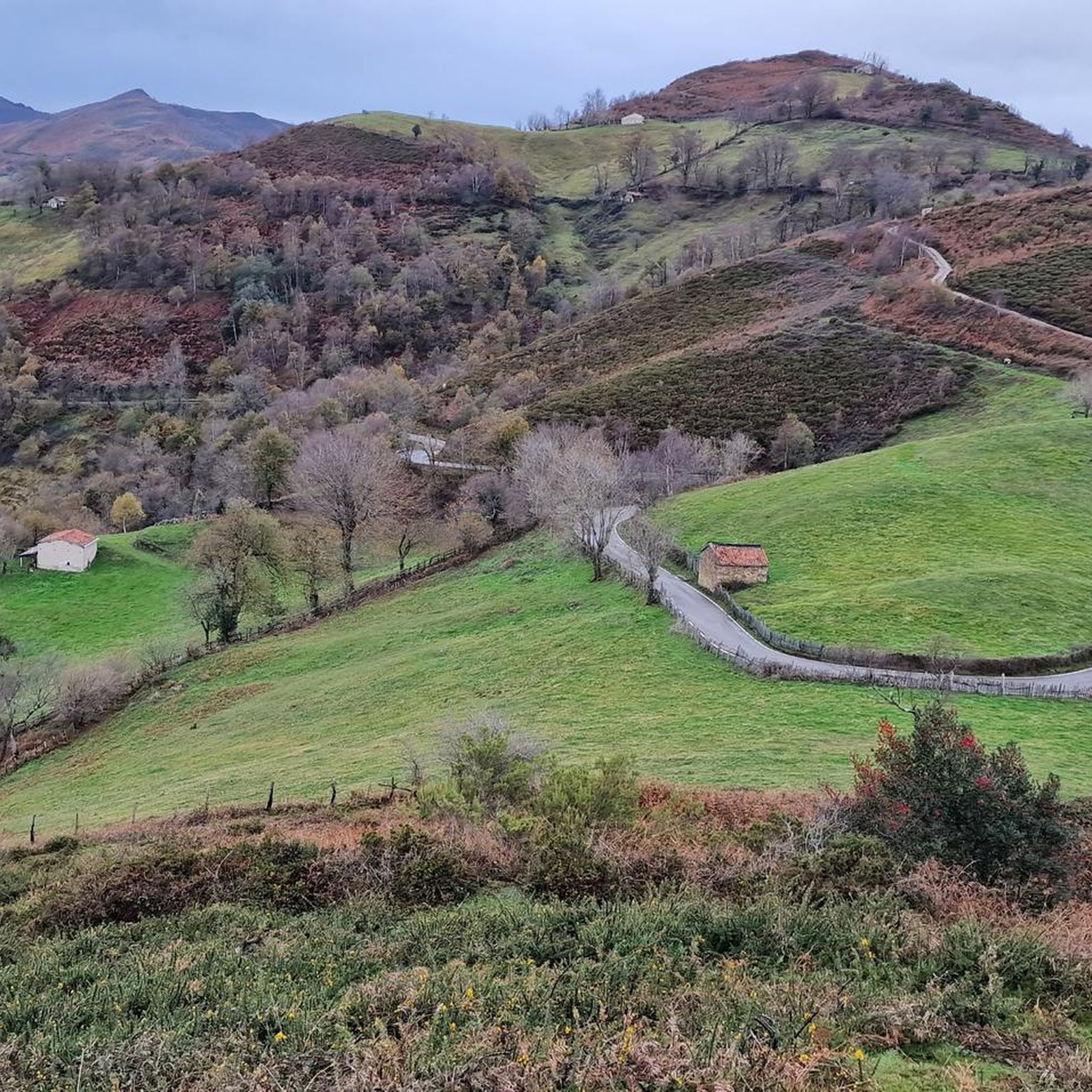
Hiking around Samartín Del Rei Aurelio offers access to the central Asturian landscape, characterized by the Cantabrian Mountains and the Sierra de San Mamés. The Nalón River traverses the area, contributing to river valleys and varied terrain. The region is part of the Protected Landscape of the Mining Basins, an area recognized for its ecological and historical significance. This environment provides diverse hiking opportunities, from riverside paths to mountain circuits.
Best hiking trails around Samartín Del Rei Aurelio
- The most…
Last updated: October 4, 2026
34
hikers
11.9km
03:03
60m
60m
Moderate hike. Good fitness required. Easily-accessible paths. Suitable for all skill levels.
4.5
(2)
13
hikers
17.1km
04:58
430m
430m
Moderate hike. Good fitness required. Easily-accessible paths. Suitable for all skill levels.

5.0
(1)
12
hikers
14.7km
03:51
100m
100m
Moderate hike. Good fitness required. Easily-accessible paths. Suitable for all skill levels.
17
hikers
5.39km
01:23
30m
30m
Easy hike. Great for any fitness level. Easily-accessible paths. Suitable for all skill levels.
9
hikers
17.6km
04:38
150m
150m
Moderate hike. Good fitness required. Easily-accessible paths. Suitable for all skill levels.
Get access to more routes and recommendations from other explorers.
Already have an account?
Our route recommendations are based on thousands of hikes, rides, and runs completed by other people on komoot.
Start today with a free account
Your next adventure awaits.
Popular around Samartín Del Rei Aurelio
Other adventures around Samartín Del Rei Aurelio

Tips from the Community

Views of the Nalón River from the bridge
0
0

Saint Stephen, the patron saint of this church in Cianu, was one of the first seven deacons of the original Jerusalem church and, as the New Testament tells us, was the first martyr (martyr) of early Christianity. The church commemorates his death on Boxing Day, December 26th. When Stephen recounted his vision of the open heavens: "And he, full of the Holy Spirit, looked up into heaven and saw the glory of God, and Jesus standing at the right hand of God" (Acts 7:55), the people were so outraged that they drove him out of the city and stoned him.
0
0

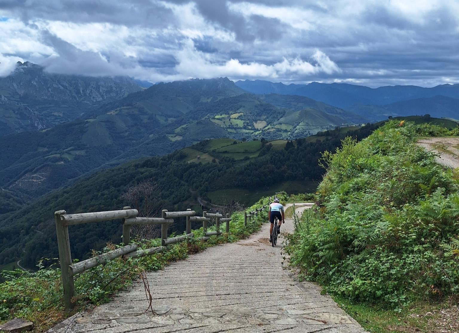
a climb of approximately 6 km, between 8 and 10% quite demanding, but a very nice and quiet route.
0
0

Beautiful place to contemplate the Ubiñas and other peaks, a very nice viewpoint.
0
0

Ideal place for a stop along the way on your hiking or cycling routes
0
0
Viewpoint with beautiful views when the fog allows it
0
0

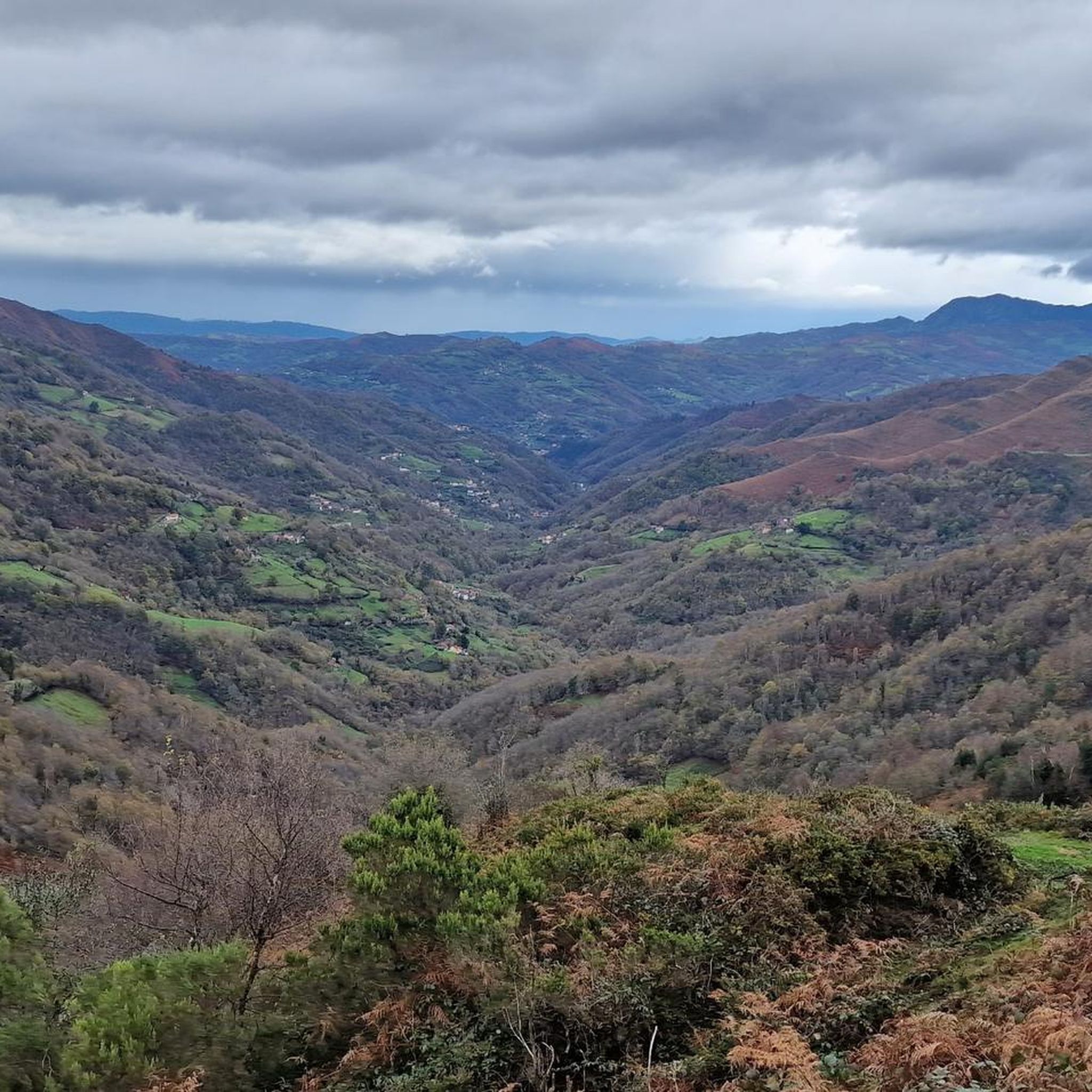
Beautiful views of the Nalón river as we pass through the city of Langreo at the height of the Miramar bridge.
1
0
Frequently Asked Questions
How many hiking trails are available in San Martín del Rey Aurelio?
There are over 60 hiking routes available in San Martín del Rey Aurelio, catering to various skill levels. This includes 13 easy trails, 42 moderate routes, and 9 challenging options for experienced hikers.
What kind of terrain can I expect on hikes in San Martín del Rey Aurelio?
Hikes in San Martín del Rey Aurelio offer diverse terrain, from gentle riverside paths along the Nalón River to more challenging ascents in the Cantabrian Mountains and Sierra de San Mamés. You'll find lush valleys, forest tracks, and paths that traverse the Protected Landscape of the Mining Basins, often showcasing the region's industrial heritage.
What do other hikers enjoy most about hiking in San Martín del Rey Aurelio?
The hiking routes in San Martín del Rey Aurelio are highly rated by the komoot community, with an average score of 4.5 stars. Hikers often praise the serene rural experience, the variety of landscapes, and the opportunity to explore areas rich in both natural beauty and historical significance, including old railway lines and mining heritage.
Are there easy hiking options suitable for beginners or families?
Yes, San Martín del Rey Aurelio offers 13 easy hiking trails suitable for beginners and families. A good example is the Molín del Barrial – Waterfall loop from Santu Medero, which is a moderate route but includes a scenic waterfall. The historical Old Railway Path – Stairs to the Mechero de Saús loop from Boca Sur - Curuxona also offers a relatively gentle experience.
Are there challenging routes for experienced hikers?
For experienced hikers, there are 9 difficult routes available. The region's terrain, part of the Cantabrian Mountains, includes substantial mountain circuits like 'El Anillo del Rey Aurelio' (King Aurelio's Ring), a 50-kilometer route with significant elevation gain, and 'La Bovia-La Colladiella', an 11.5-kilometer trail considered to be of high difficulty.
Can I find hikes with waterfalls in the area?
Yes, you can find hikes that feature waterfalls. The Molín del Barrial – Waterfall loop from Santu Medero is a popular moderate trail that includes a scenic waterfall as a highlight.
Are there any circular hiking routes?
Many routes in San Martín del Rey Aurelio are circular, allowing you to start and end at the same point. Notable examples from the komoot community include the Pico La Vara Summit loop from Laviana and the Pico Jueyu loop from Santu Medero. The region also features the extensive 'El Anillo del Rey Aurelio', a 50-kilometer mountain circuit.
What historical or cultural landmarks can I see while hiking?
Many trails in San Martín del Rey Aurelio weave through areas rich in industrial legacy, showcasing civil and industrial architecture related to coal mining. You can explore traditional housing and mills. Specific highlights include the Recuna Medieval Bridge and the historical railway paths, such as those found on the Old Railway Path – Stairs to the Mechero de Saús loop.
Are there trails that offer panoramic views or summit experiences?
Yes, several trails provide excellent panoramic views and opportunities for summiting peaks. The Pico La Vara Summit loop from Laviana offers a rewarding summit experience with views of the surrounding landscape. You can also find viewpoints like Coto Bello Viewpoint and Urbiés Viewpoint, and summits such as El Escobín (Picayu) Summit.
Are hiking trails in San Martín del Rey Aurelio dog-friendly?
Most hiking trails in San Martín del Rey Aurelio are generally dog-friendly, allowing you to enjoy the natural surroundings with your canine companion. However, it's always advisable to keep dogs on a leash, especially in protected areas or near livestock, and to check specific trail regulations if available.
What is the best time of year to go hiking in San Martín del Rey Aurelio?
The best time to hike in San Martín del Rey Aurelio is generally during spring, summer, and autumn. Autumn is particularly scenic, with vibrant landscapes. While winter hiking is possible, higher elevations may experience snow and require appropriate gear and experience.
Is public transport available to reach trailheads?
Public transport options, primarily bus services, connect the main towns within San Martín del Rey Aurelio. Some of these services may provide access to areas near trailheads. It is recommended to check local bus schedules for specific routes and stops that align with your chosen hiking starting points.
Are there any permits required for hiking in San Martín del Rey Aurelio?
Generally, no specific permits are required for hiking on the established trails in San Martín del Rey Aurelio. The region is part of the Protected Landscape of the Mining Basins, and while it's a protected area, general access for hiking is permitted. Always respect local regulations and signage.
Most popular routes around Samartín Del Rei Aurelio
Most popular attractions around Samartín Del Rei Aurelio

Get inspired with the komoot mobile app


Explore more
Browse the best Hikes in other regions.
