Attractions and Places To See around Massalavés - Top 20
Best attractions and places to see around Massalavés, a municipality in Valencia's Ribera Alta region, offer a mix of historical sites and natural landscapes. The area features flat agricultural lands, ideal for walking and cycling. Visitors can explore local landmarks and natural springs that contribute to the Júcar River. Massalavés provides opportunities to discover both cultural heritage and tranquil outdoor environments.
Best attractions and places to see around Massalavés
- The most popular attractions is Natural Trail of the Old Little…
Last updated: June 23, 2026
Natural Trail of the Old Little Train
Highlight (Segment) • Cycleway
Translated by Google •
Tip by

Les Salines
Highlight • Natural Monument
It is a protected space …
Translated by Google •
Tip by

Sign up now to discover places like this
Get recommendations on the best single tracks, peaks, & plenty of other exciting outdoor places.
Sign up for free
Views of the Assut d’Antella
Highlight • River
Translated by Google •
Tip by
Alzira Bridge
Highlight • Bridge
Translated by Google •
Tip by

Gavarda Bridge
Highlight • Bridge
Translated by Google •
Tip by
Sign up for free to discover even more attractions around Massalavés.
Sign up for free
Already have an account?
Start today with a free account
Your next adventure awaits.
Login or Signup
Tips from the Community

It is a cable-stayed bridge with an arch. It consists of a section with a span of 72 meters supported by powerful retaining walls. The platform is supported by two parallel tension arches 6.01 meters apart. The height of the arches is 8.90 m. The structure is reinforced by 32 vertical beams connected transversely and in the shape of a St. Andrew's cross. At its ends, the work rests on metal hinges that are embedded in the ashlar buttresses. Source and further information about the bridge at: https://es.wikipedia.org/wiki/Puente_de_hierro_sobre_el_Júcar_en_Alcira
4
0

The Pont de Ferro del Xúquer as it passes through Gavarda is from the beginning of the 20th century (1917). The Real road from Valencia to Albacete passes over it. The author of the project was engineer Enrique Tamarit. The Bow-String beam, with a span of 70 m, is one of the five metal sections that make up the 137 meter long bridge, the other four metal sections are straight beams from Sant Andrés crossings (12' 5 meters of light) and are located on the left bank of the bridge. When the Gavarda variant was built in the sixties, it was incorporated into the V-305 local road from Gavarda to Beneixida. The restoration works ended in 1993.
1
0
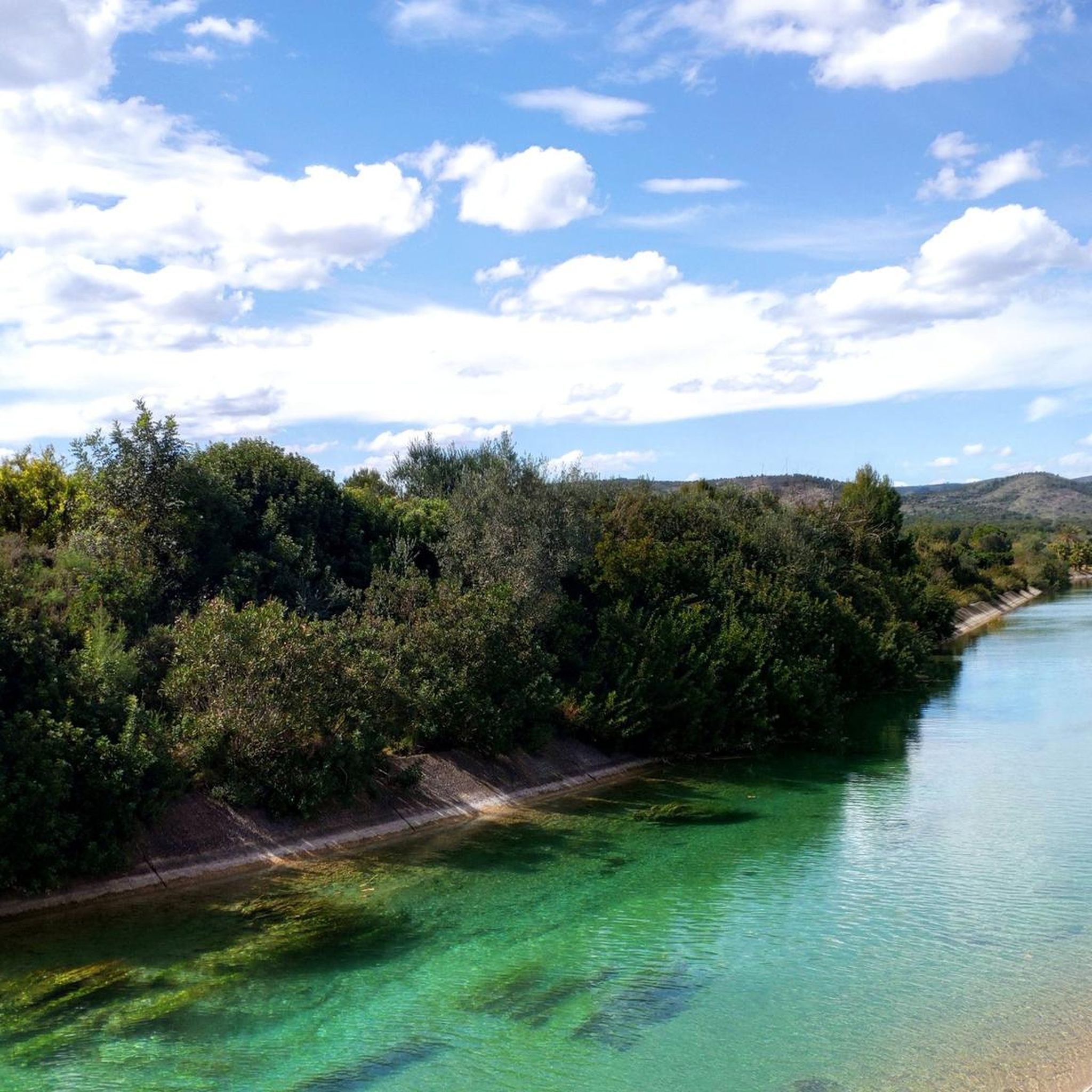
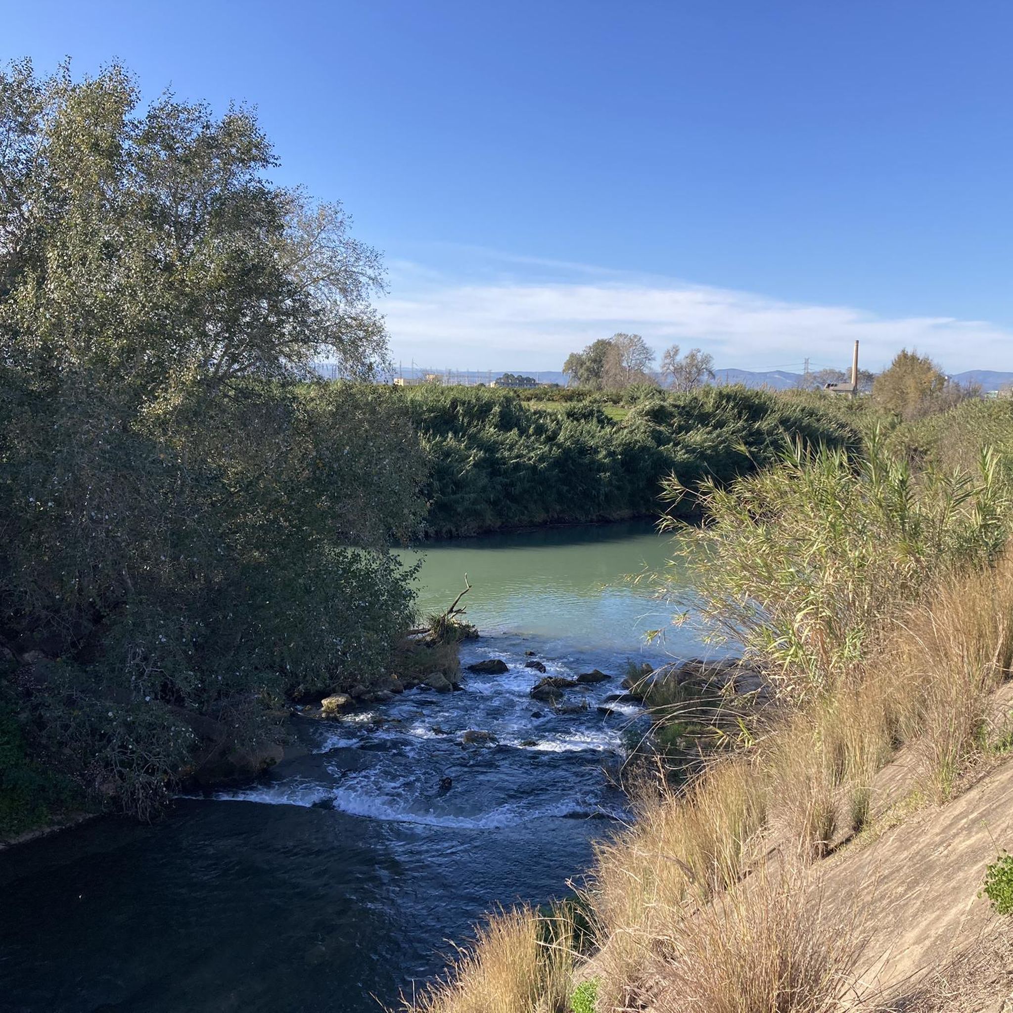
The Assut d'Antella is an essential part of the hydraulic infrastructure of the Séquia Reial del Xúquer, as it functions as a dam that diverts part of its water from the river to the ditch. Considered as a fluvial beach with a crowning height of 3 meters and a dam length of 315 meters, we find the Assut d'Antella between the Xúquer River and the foothills of the Tous mountain range. Without a doubt, the weir is the most well-known natural site in the town, and for which hundreds of tourists come to visit Antella every year, and to enjoy the waters of the river swimming with friends or family. In addition, its importance can be identified at a glance by finding it represented on the town's coat of arms.
1
0
Les Salines de Manuel is a municipal natural site of 28 hectares, of great landscape value, which is located next to the town of Manuel. It is a protected space of high ecological and historical value, as it was an old salt mine of the army, now turned into a large green lung. The exploitation was possible thanks to the composition of the so-called Serra de les Salines, formed by a rich combination of mineral salts from sandy rocks, limestone, reddish clay and other materials, giving rise to what we know as "common salt" . Due to the presence of all these minerals, the vegetation has the particular characteristic of being different from that of other places, either because of the adaptation to the terrain or because of the abundant foliage. This is why the site of Les Salines de Manuel houses two very different types of vegetation. On the one hand, the white pine forest with its traditional companions (lentiscle, coscolla, margallon, rosemary, rudder, buckthorn, juniper, etc.); and for another, the saline outcrops, where a Valencian endemic known as Limonium mansanetianum grows in honor of José Mansanet, the great botanist of Simat de la Valldigna. Next to this grass, capable of filtering salt water and expelling the salt through the leaves, grow several tamarinds, trees more typical of coastal areas. The circular route of the area, known as the Ruta de la Sal, is divided into 3 paths, which make up a total of approximately 4 kilometers, all signposted. On the way, you will meet a hill called the "wall of bullets", used in the past for shooting exercises by the army, which had an Engineers and Sappers School here between 1906 and 1996. There is also the Paret del Moro , which are the remains of a Muslim fortification from the 10th century; the remains of an old machine gun nest and trenches; buildings of the old salt exploitation; or the birth of salt water that supplied the salt pans, as well as the recreational area. Les Salines de Manuel, full of vegetation and pines adapted to salt, was exploited since ancient times by the Romans, being handed over a little over a century ago to the army, who finally handed it over to the population to be recovered for the use and enjoyment of visitors as a natural site. The military use lasted until 1996, although it was not until 2006 when the Manuel City Council acquired the land to be used for sports, a rural tourism center and the adaptation of the area as a municipal natural site and the adaptation of various hiking routes.
1
0
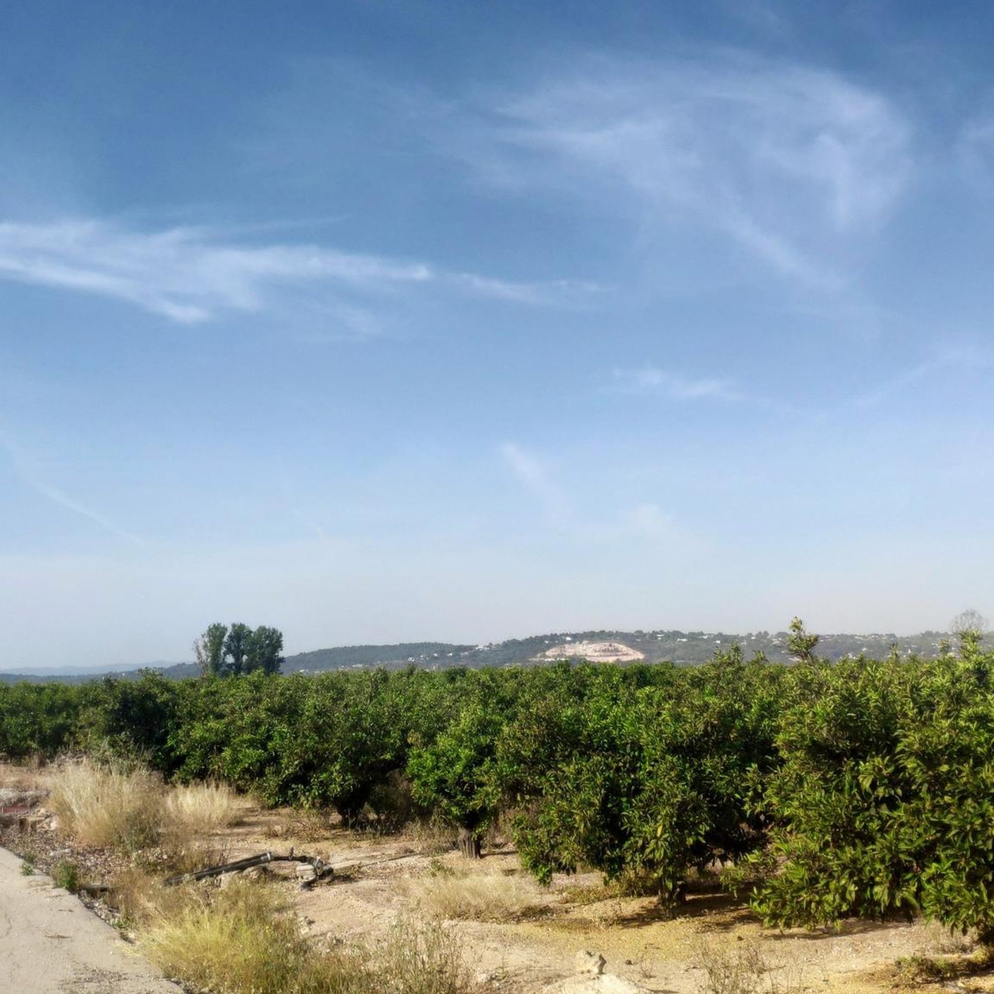
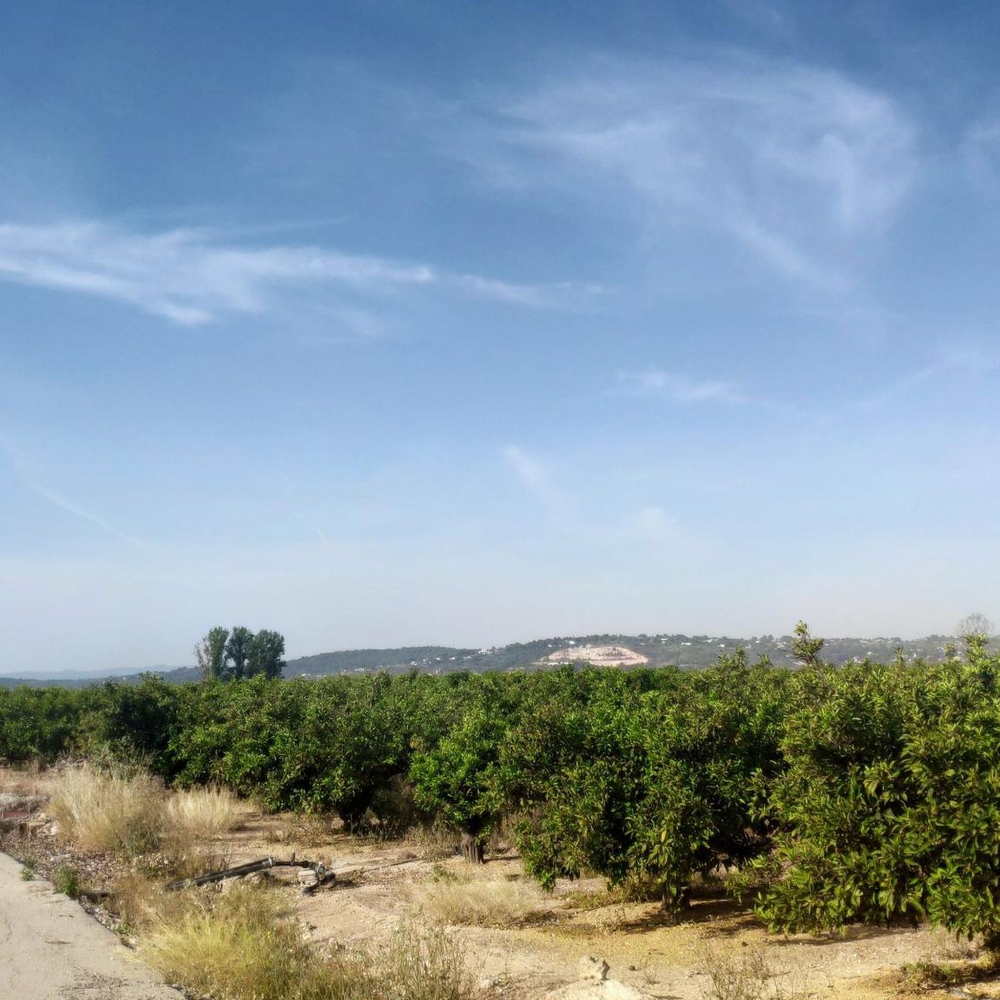
Nice route through a beautiful landscape. The route runs on agricultural, paved paths and occasionally asphalt. Nice section.
1
0


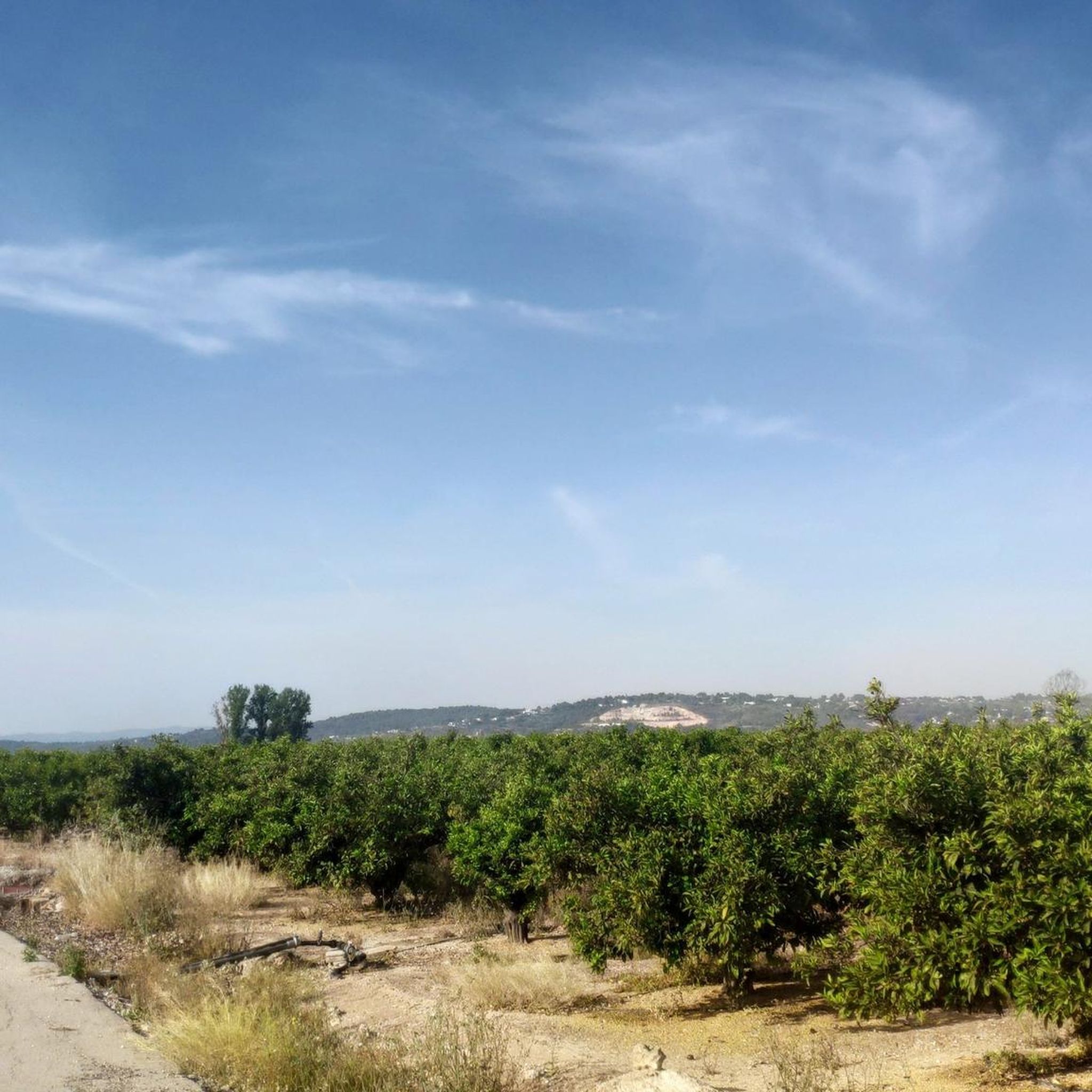
A very nice road, mostly in good condition, running along the old train route that linked Carcaixent with Gandía and Denia and which today allows reaching Tavernes beach. Some sectors of the route are shared with secondary roads, although most of it runs along gravel lanes exclusively for cycling or hiking. It is a path without technical difficulty, ideal to enjoy the landscape, which is very beautiful in itself!
4
0
The iron bridge over the Júcar in Alzira is a bridge that connects the city center with the Barraques district. The need for this bridge arose as a result of the flood of St. Charles Day in 1864. The General Directorate of Public Works of the State commissioned the project in 1899 to Enrique González Granda, but the work did not go to begin until 1911 and finalized in 1918. It replaced the bridge of Sant Gregori, which had been built in the 14th century, which survived until 1921, and which was attributed to the fact that the town was flooded in case of floods. It is a single arched bridge. It consists of a section of 72 meters of light supported by powerful retaining walls.
1
0
Frequently Asked Questions
What historical landmarks can I visit in Massalavés?
Massalavés is rich in history. You can explore the Church of Saint Michael (Iglesia de San Miguel), a 16th-century church built on an ancient mosque's foundations. Another significant site is the Massalavés Gate (Portal de Massalavés), also known as the Tower of the Milà, which was once the main access to a vanished castle. Don't miss the restored Public Wash House (Lavadero Municipal), offering a glimpse into past daily life.
Are there any natural attractions or scenic viewpoints near Massalavés?
Yes, the area offers beautiful natural spots. You can visit the Source of the River dels Ulls, a collection of springs forming a tributary of the Júcar River, surrounded by scenic agricultural land ideal for walking and cycling. Additionally, the Views of the Assut d’Antella provides a well-known natural site featuring a dam that diverts water from the Júcar River.
What outdoor activities are available around Massalavés?
Massalavés is excellent for outdoor enthusiasts. The flat agricultural lands are perfect for hiking and cycling. You can explore the Natural Trail of the Old Little Train, a scenic cycle way suitable for both cycling and hiking. For more options, check out the dedicated guides for Cycling around Massalavés, Hiking around Massalavés, and Gravel biking around Massalavés.
Are there family-friendly attractions in the Massalavés region?
Absolutely! Many attractions are suitable for families. The Natural Trail of the Old Little Train is a great option for a family bike ride or walk. Views of the Assut d’Antella is also considered family-friendly, offering a place to enjoy the river waters. Additionally, Les Salines, a natural monument with hiking routes, is also listed as family-friendly.
What is Les Salines and why is it significant?
Les Salines is a municipal natural site spanning 28 hectares, recognized for its high ecological and historical value. It was once an old salt mine used by the army and features unique vegetation adapted to its mineral-rich soil. Visitors can explore its circular hiking routes, known as the Ruta de la Sal, and discover ancient fortifications like the Paret del Moro, a Muslim fortification from the 10th century.
How can I get to Massalavés using public transport?
Massalavés is conveniently connected to Valencia by public transport. You can reach the municipality via a metro line, with a stop (apeadero) on Metrovalencia Line 1.
What kind of bridges can I see in the area around Massalavés?
The region features notable bridges with historical significance. You can visit the Alzira Bridge, an iron cable-stayed bridge with an arch, built in the early 20th century to replace an older structure. Another impressive structure is the Gavarda Bridge, also an early 20th-century iron bridge over the Xúquer river.
What do visitors particularly enjoy about the attractions near Massalavés?
Visitors frequently praise the scenic beauty and accessibility of the routes. For instance, the Natural Trail of the Old Little Train is highly recommended for its beautiful landscape and ease of use for cycling or hiking. The Assut d’Antella is a popular spot for its natural beauty and the opportunity to swim in the river.
Are there specific hiking trails recommended for exploring the natural landscapes?
Yes, the area around Massalavés offers numerous trails. The flat agricultural lands are ideal for walking. Within Les Salines, there's a circular route known as the Ruta de la Sal, divided into three signposted paths totaling approximately 4 kilometers. For more options, explore the Hiking around Massalavés guide.
What local culinary experiences can I find in Massalavés?
While exploring Massalavés, you can savor traditional Valencian dishes. Look for specialties like "L'arròs fesols i amb naps" (rice with beans and turnip), paella "amb broses" (with various wild plants), and different rice broths. Don't miss the chance to try a traditional Valencian "almuerzo," a hearty second breakfast often featuring sandwiches.
What are the main festivities celebrated in Massalavés?
Massalavés hosts several notable festivities throughout the year. Key celebrations include the Festivity of the Immaculate Conception, Corpus Christi, the bonfires of Saint Anthony the Abbott, and the Fallas Week. The festivities in honor of the patron saint, the Holy Christ of Masalavés, are particularly marked by religious fervor.
Can I find cycling routes suitable for different skill levels near Massalavés?
Yes, the region caters to various cycling preferences. The Natural Trail of the Old Little Train is a path without technical difficulty, ideal for enjoying the landscape. For a wider range of routes, including moderate and difficult options, consult the Cycling around Massalavés and Gravel biking around Massalavés guides.
Most popular routes around Massalavés
Most popular attractions around Massalavés

Get inspired with the komoot mobile app


Explore more
Still not found the Highlight you’re looking for? See guides of the top attractions in other regions:
