The best walks and hikes around Conquista De La Sierra
4.9
(6)
46
hikers
6
hikes
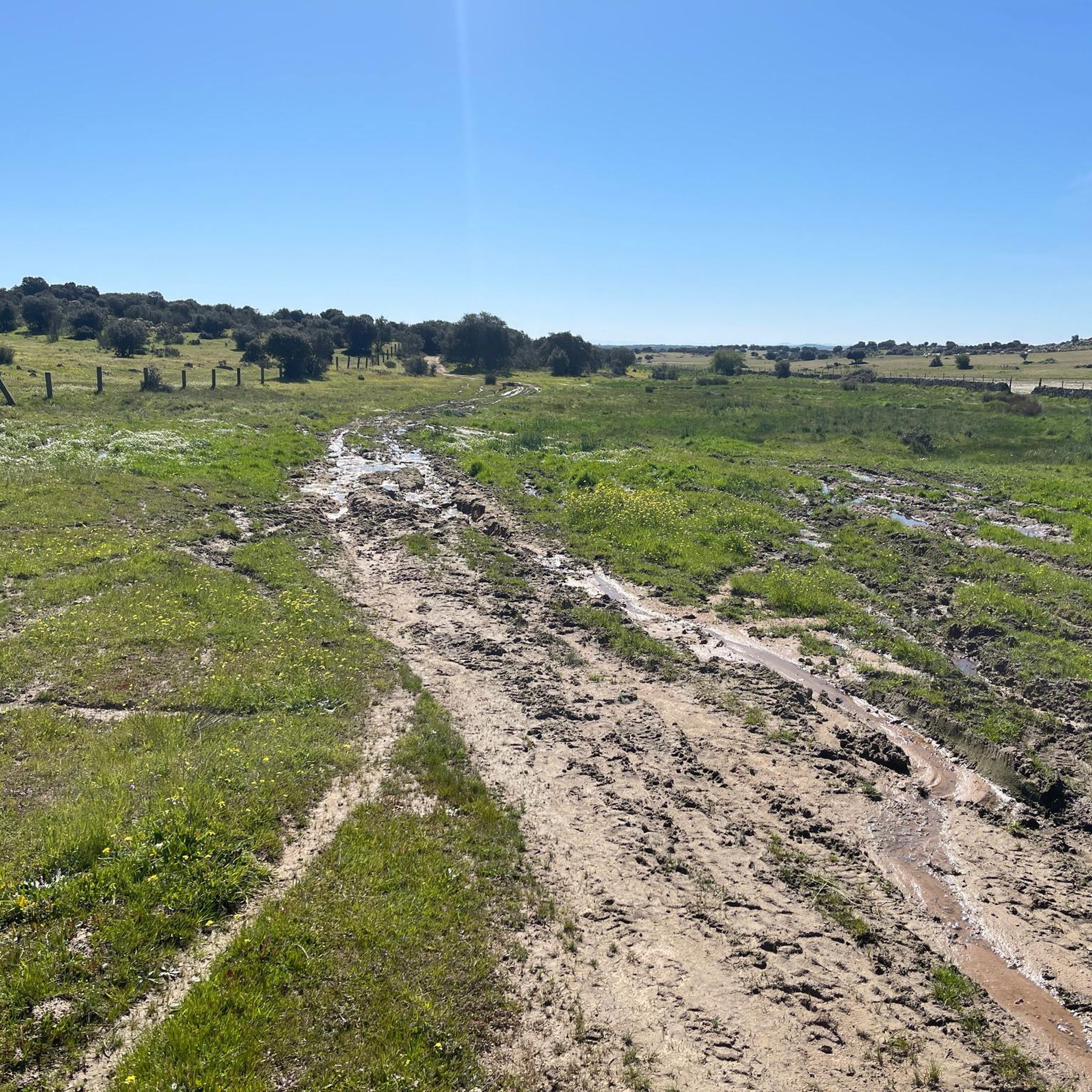
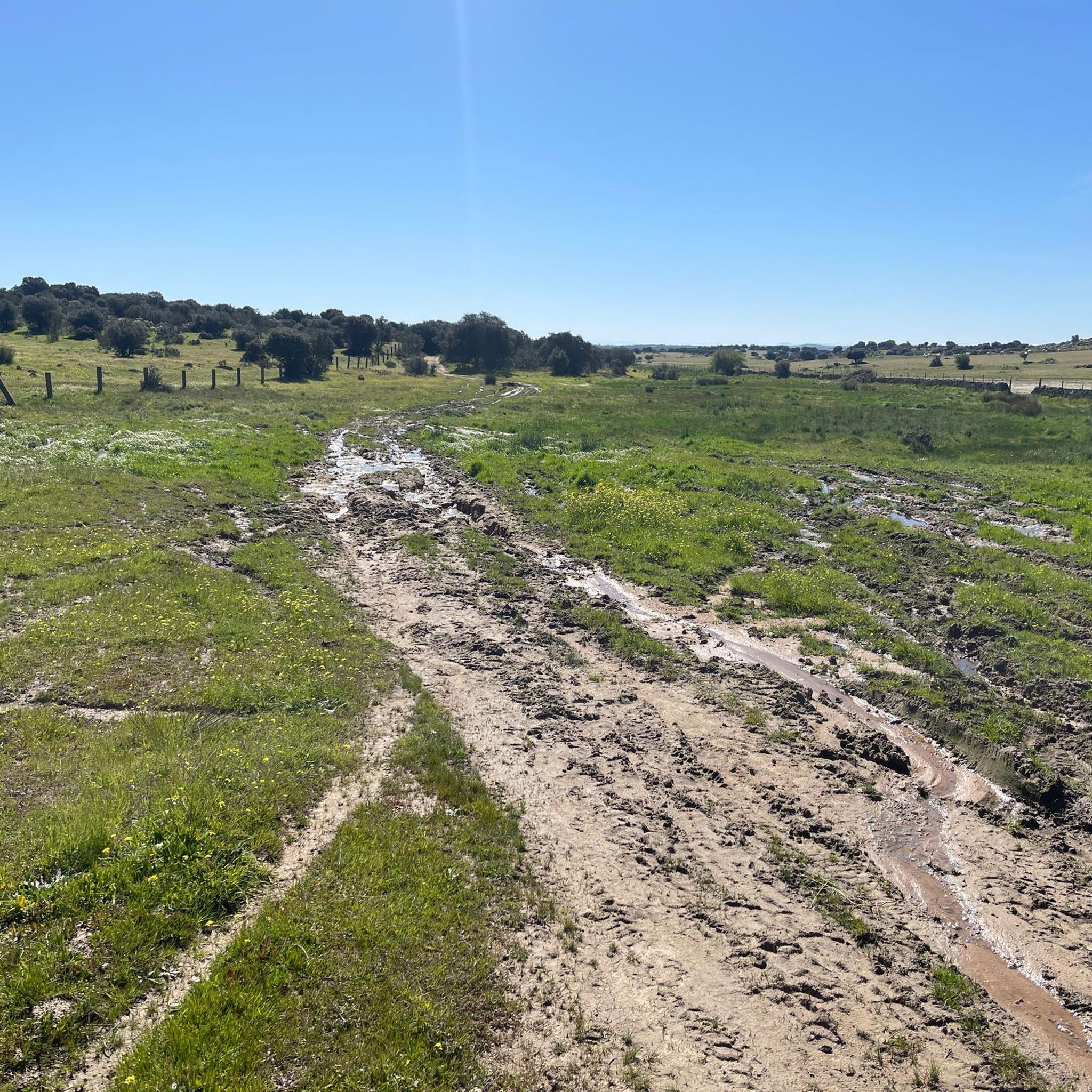
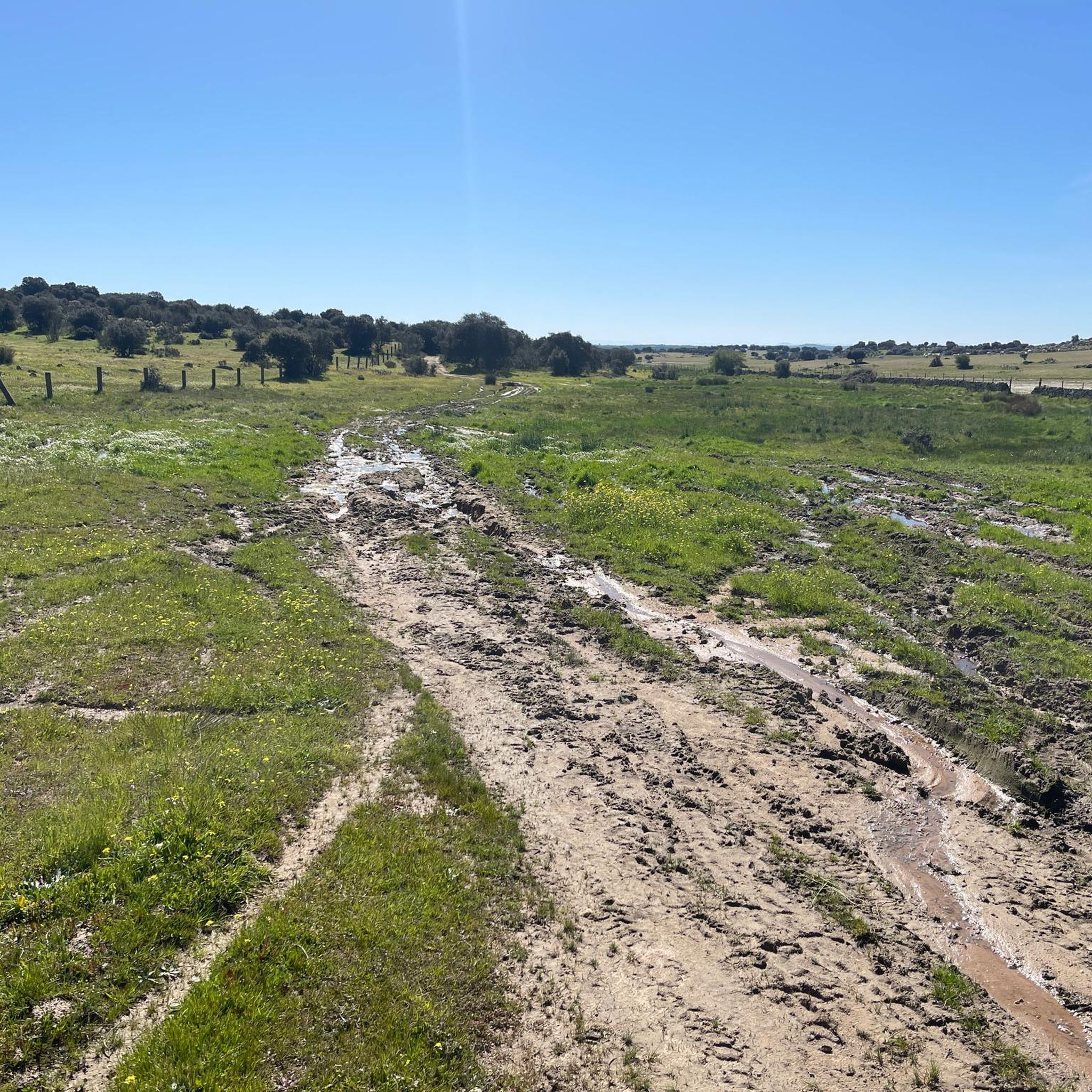
Hiking around Conquista De La Sierra offers diverse landscapes in the northern province of Cáceres, Extremadura, Spain. The region is characterized by a mix of slate and granite, with elevations providing varied hiking experiences. Hikers can explore areas dominated by cork oaks and Mediterranean scrubland, as well as extensive oak forests, including Pyrenean oaks. The terrain includes mountainous sections that offer panoramic views.
Best hiking trails around Conquista De La Sierra
- The most popular hiking route is Sierra Brava Reservoir…
Last updated: June 27, 2026
4.32km
01:10
50m
50m
Hike the easy 2.7-mile (4.3 km) Reservoir of Sierra Brava (PR-CC 234) route, gaining 175 feet (53 metres) in about 1 hour and 9 minutes.
5.0
(1)
9
hikers
7.93km
02:46
360m
360m
Moderate hike. Good fitness required. Mostly accessible paths. Sure-footedness required.

Sign up for free
5.0
(1)
9
hikers
8.45km
02:56
380m
380m
Moderate hike. Good fitness required. Mostly accessible paths. Sure-footedness required.
5.0
(1)
3
hikers
13.9km
04:03
390m
390m
Moderate hike. Good fitness required. Easily-accessible paths. Suitable for all skill levels.
1
hikers
18.4km
05:28
560m
560m
Hard hike. Very good fitness required. Easily-accessible paths. Suitable for all skill levels.
Our route recommendations are based on thousands of hikes, rides, and runs completed by other people on komoot.
Start today with a free account
Your next adventure awaits.
Login or Signup
Popular around Conquista De La Sierra
Tips from the Community

The San Gregorio cliff has a height of 844m and is considered to be the best window to observe the environment. One of its great potentials is that it offers the visitor enormous views, being able to see on clear days an interesting perspective of the distant Gredos mountains.
10
0

Old water pipes for the town of Santa Cruz de la Sierra. They stopped being used around the 16th century due to a lack of agreement on their maintenance.
1
0

An ideal place to visit especially on hot days and that you can take advantage of to cool off in its waters. There are not many trees in the area but right here you will find some that will provide shade for the oppressive summer days.
1
1
Frequently Asked Questions
What kind of landscapes can I expect to see while hiking in Conquista De La Sierra?
Conquista De La Sierra offers a diverse landscape characterized by a mix of slate and granite terrain. You'll find areas dominated by cork oaks and Mediterranean scrubland, featuring aromatic plants like rockrose, rosemary, and thyme. The northern and eastern parts boast extensive oak forests, including Pyrenean oaks, which are particularly stunning with golden hues in autumn. The region also includes mountainous sections that provide panoramic views.
Are there any easy hiking trails suitable for beginners in Conquista De La Sierra?
Yes, there are options for easier walks. The Sierra Brava Reservoir Trail is an easy 4.3 km route that takes about 1 hour 10 minutes to complete, offering pleasant views of the reservoir. While the guide lists 0 easy routes, this one is explicitly described as easy in the intro.
Can I find longer, more challenging hikes in the area?
Yes, for those seeking longer and more challenging experiences, the region offers several moderate routes. The Embalse de Moruelos loop from Garciaz is a moderate 13.8 km trail that typically takes around 4 hours, leading through varied landscapes around the reservoir. There is also one difficult route available for experienced hikers.
What are some notable natural features or viewpoints along the trails?
The region's mountainous terrain, part of the ramifications of the Villuercas mountains, offers several panoramic viewpoints. You can find vistas of the Villuercas, Solana, and Cabañas del Castillo cliffs, especially from areas like the 'Cruz de los Guijos,' which even has an astronomical observatory. Some trails also feature resting spots next to ponds, such as the charca in 'El Bohonal'.
Are there any circular hiking routes available?
Yes, many of the trails in Conquista De La Sierra are designed as loops. Examples include the Hiking loop from Santa Cruz de la Sierra, a moderate 7.9 km path with significant elevation gain, and the Hiking loop from Puerto de Santa Cruz, which is 8.3 km long.
What do other hikers say about the trails in Conquista De La Sierra?
The hiking routes in Conquista De La Sierra are highly rated by the komoot community, with an average score of 5.0 stars from over 4 reviews. Hikers often praise the diverse terrain, from Mediterranean scrubland to oak forests, and the varied experiences offered, suitable for different ability levels.
Is Conquista De La Sierra part of any larger walking routes or pilgrimages?
Yes, Conquista De La Sierra is integrated into the historical Camino a Guadalupe. Specific moderate sections, such as 'Conquista-Herguijuela-Garciaz' (17.6 km) and 'Santa Cruz-Zorita hacia Guadalupe' (17.3 km), offer opportunities for longer treks through the region, connecting to this significant pilgrimage route.
What kind of vegetation and wildlife can I expect to see?
The region is rich in Mediterranean flora, including cork oaks and scrubland with aromatic plants like rockrose, rosemary, thyme, and broom. The oak forests, particularly Pyrenean oaks, are prominent. This diverse ecosystem supports local fauna, making it a good area for wildlife spotting, though specific species are not detailed.
Are there any trails that lead to reservoirs or water bodies?
Yes, several trails offer views of or lead to water bodies. The Sierra Brava Reservoir Trail provides direct views of the Sierra Brava Reservoir. Additionally, the Embalse de Moruelos loop from Garciaz takes you through the landscape surrounding the Embalse de Moruelos.
What is the general climate like for hiking in Conquista De La Sierra?
Conquista De La Sierra experiences a Mediterranean subtropical climate. This means you can expect hot summers and moderate winter rainfall. This climate contributes to the distinct flora and varied hiking conditions throughout the year.
Are there any trails that offer significant elevation gain for a good workout?
Absolutely. Many of the moderate trails feature significant elevation changes. For instance, the Hiking loop from Santa Cruz de la Sierra includes substantial elevation gain through its varied terrain, providing a good challenge for hikers.
Most popular routes around Conquista De La Sierra

Get inspired with the komoot mobile app


Explore more
Browse the best Hikes in other regions.
