The best road cycling routes around Torelló
4.8
(23)
1,629
riders
16
rides
Road cycling routes around Torelló offer a diverse terrain, ranging from challenging climbs to more moderate rides. The region is characterized by varied landscapes, including areas like the Montseny Forest and viewpoints such as La Trona. Cyclists can expect a mix of paved and some unpaved sections, providing varied riding conditions across different routes. This area in Spain provides a rich natural backdrop for outdoor pursuits, with routes featuring significant elevation gains.
Best road cycling routes around Torelló
- The most…
Last updated: May 14, 2026
4.4
(5)
474
riders
71.2km
03:27
970m
970m
Hard road ride. Very good fitness required. Some segments of this route may be unpaved and difficult to ride.
5.0
(2)
200
riders
124km
06:40
2,290m
2,290m
Hard road ride. Very good fitness required. Some segments of this route may be unpaved and difficult to ride.

Sign up for free
5.0
(5)
159
riders
45.2km
02:32
900m
900m
Moderate road ride. Good fitness required. Some segments of this route may be unpaved and difficult to ride.
122
riders
73.8km
03:32
980m
980m
Hard road ride. Very good fitness required. Mostly well-paved surfaces and easy to ride.
5.0
(1)
97
riders
37.9km
01:43
360m
360m
Moderate road ride. Good fitness required. Some segments of this route may be unpaved and difficult to ride.
Get access to more routes and recommendations from other explorers.
Sign up for free
Already have an account?
Our route recommendations are based on thousands of hikes, rides, and runs completed by other people on komoot.
Start today with a free account
Your next adventure awaits.
Login or Signup
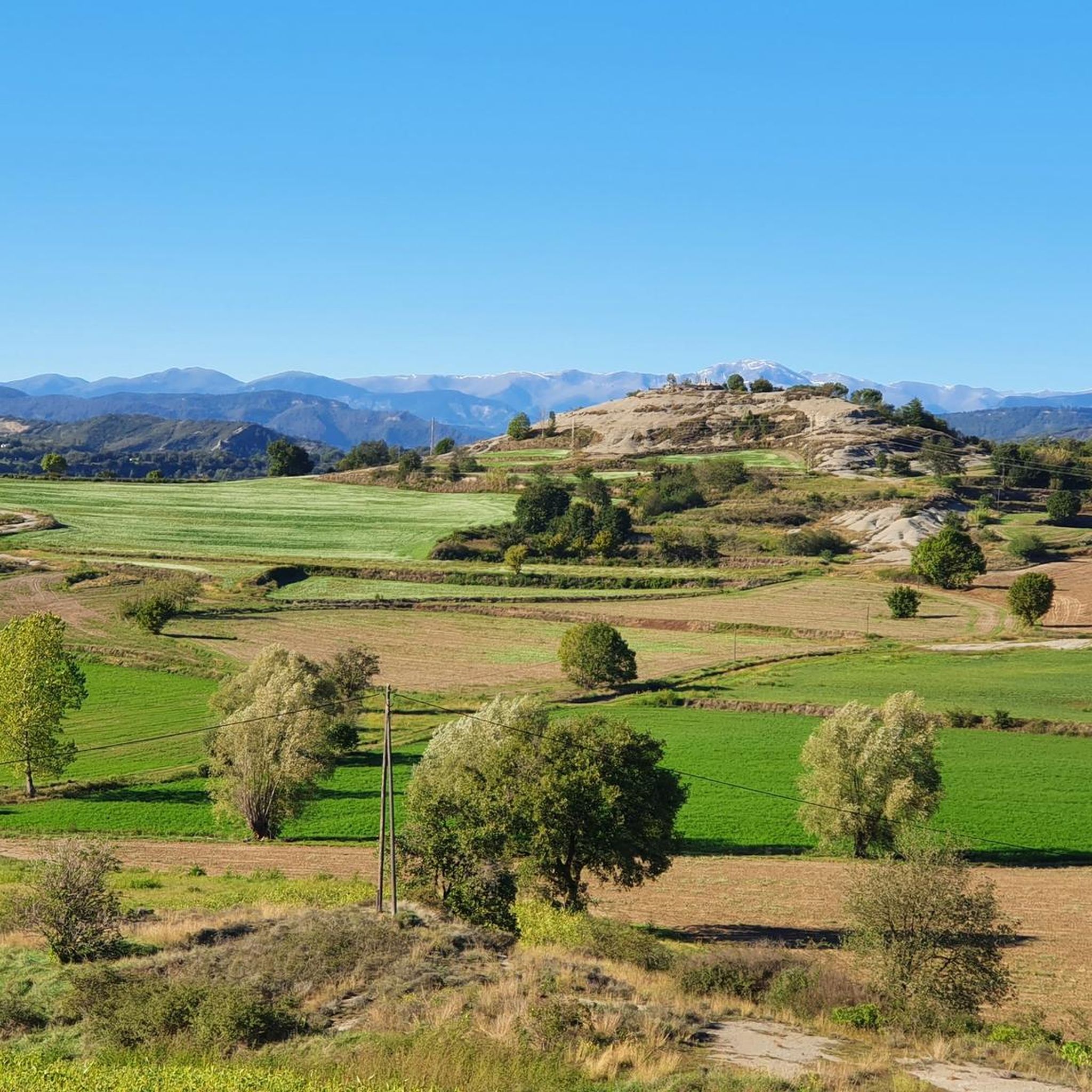
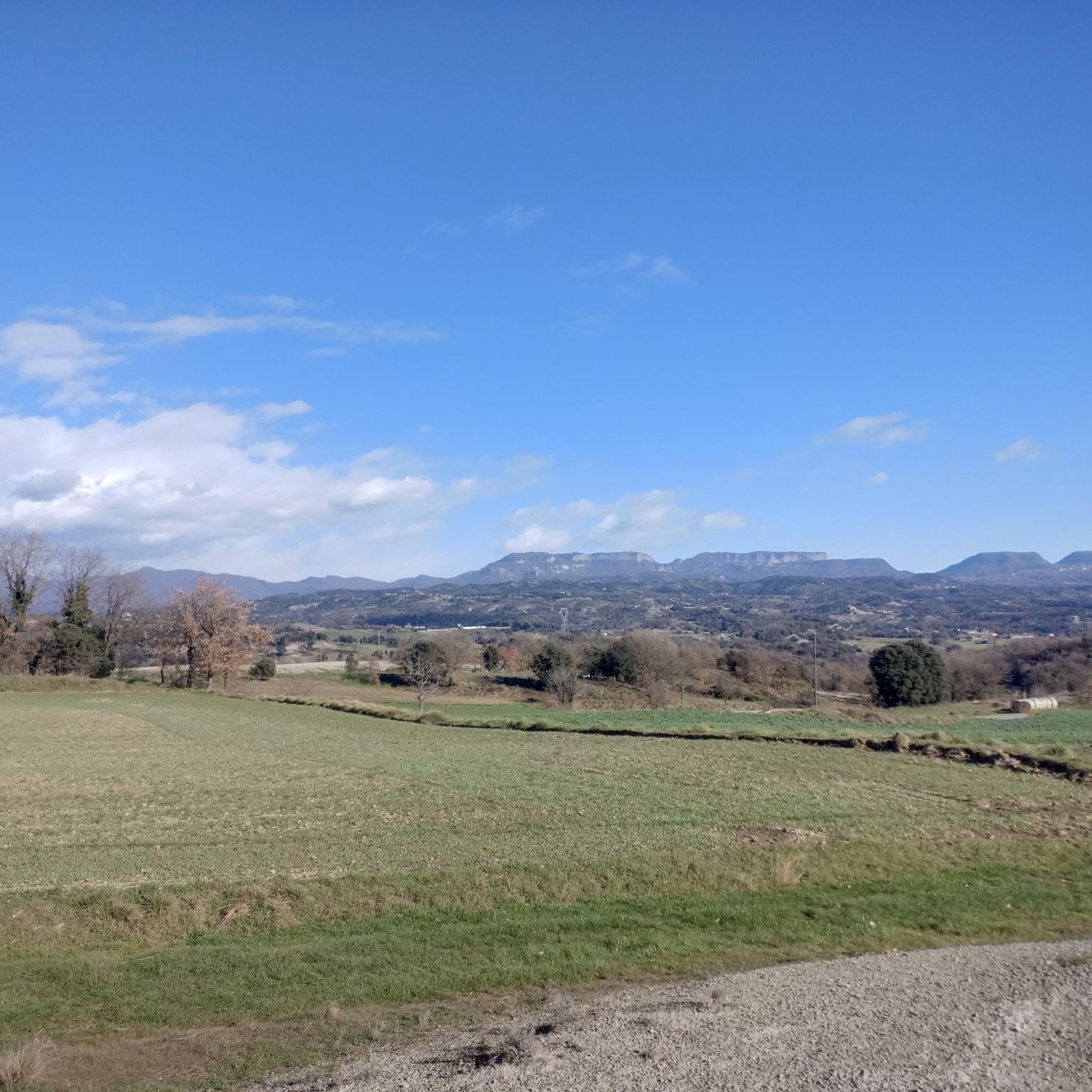
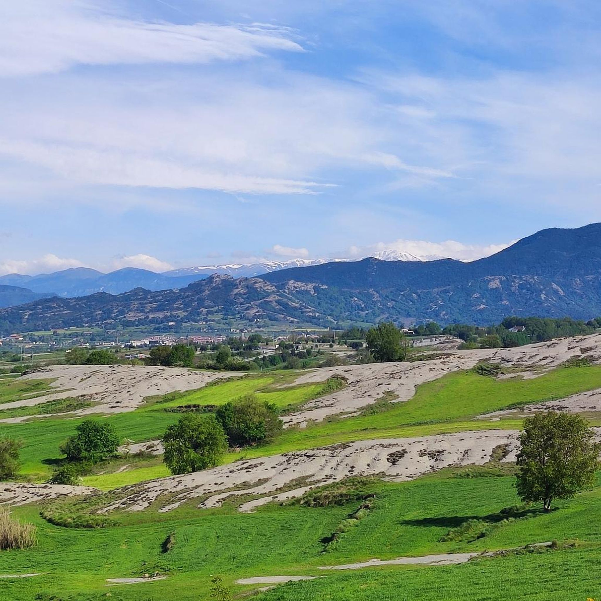
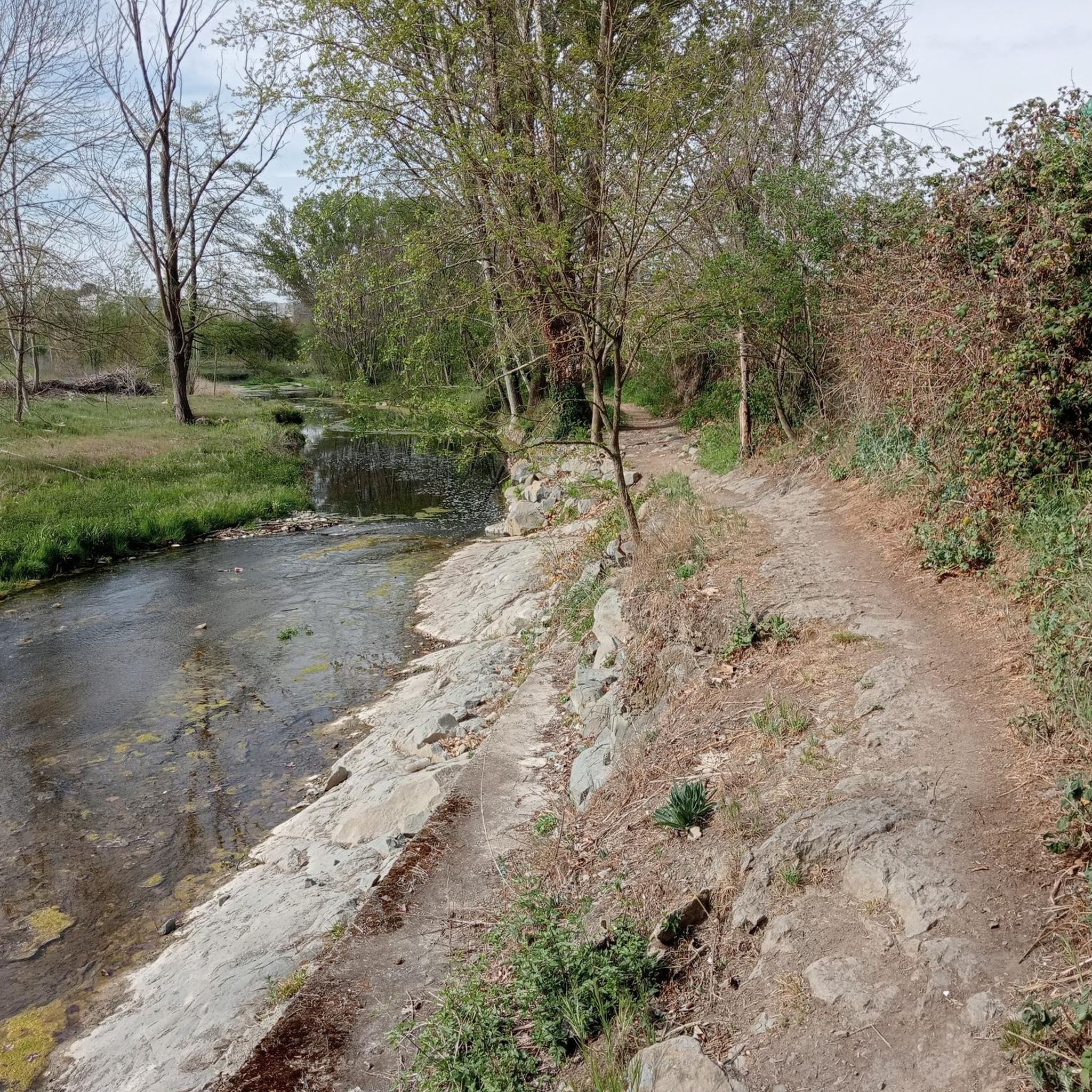

Tips from the Community


Parking is difficult in the area after 10:00. The area is beautiful and has great views. You can take a practically flat route (Collformic to the ruins of El Café, but it's not circular), a more challenging one like Matagalls. And many more!
0
0

Beautiful, even, climb. Definitely a great option from Montseny back towards Viladrau
0
1

It is a nice climb because of the tradition of the port, because of the views there are, I recommend that if you go down, be careful because of the sharp curves and the narrow road.
0
0

It is a small town that is in a privileged environment. It is a haven of peace.
0
0
This is the road that leaves Sant Pere de Torelló and ascends the southern slope to Coll de Bracons. It is a winding road, which generally gains altitude, although with continuous breaks. Ideal on hot days as it has many shadows.
0
0
Together with the Collada de Collfred they are the great ports in the area in terms of hardness. The port of Bracons has 2 completely different aspects. The best is the eastern slope, but I recommend facing both at some point in your life. - The eastern slope, which starts from the Vall d'en Bas, is 8 km long, the last 7 km at an average of 9%. The final kms are the hardest and most constant at 10%. The panoramic views of the Vall d'en Bas are continuous. It's a door! - The west slope, which starts from Torelló, is very irregular with the first 14km with a continuous up and down, where you gain height little by little. From this point, starting from Sant Andreu de la Volta, the slope rises radically, leaving 5km ahead on average at 7%, with a full km at 10%. I leave you the link with the altimetry of the port by @cyclingcols --> http://www.cyclingcols.com/col/Bracons
1
0
Frequently Asked Questions
What kind of terrain can I expect on road cycling routes around Torelló?
Road cycling routes around Torelló feature diverse terrain, including challenging climbs and more moderate rides. You'll encounter varied landscapes, such as the Montseny Forest, and a mix of paved and some unpaved sections, providing varied riding conditions.
Are there any easy road cycling routes for beginners in Torelló?
Yes, Torelló offers routes suitable for moderate fitness levels. For example, the Roadbike loop from Torelló is a moderate 37.9 km (23.5 miles) path with around 357 meters (1,171 feet) of elevation gain, making it a good option for those looking for a less demanding ride.
What are some scenic viewpoints or natural features I can see while road cycling in Torelló?
Many routes offer scenic vistas. The La Trona Road – La Trona Viewpoint loop from Torelló leads to the scenic La Trona Viewpoint. Additionally, the region boasts natural attractions like the La Foradada Waterfall and Mill and the View of the Pantà de Sau reservoir from Morro de l'Abella, which can be explored in conjunction with your rides.
Are there any family-friendly road cycling options in Torelló?
While many routes involve significant elevation, there are options suitable for moderate fitness levels that families might enjoy. The 37.9 km Roadbike loop from Torelló, with its moderate difficulty and lower elevation gain, could be a suitable choice for families with some cycling experience.
What is the best time of year for road cycling in Torelló?
Torelló offers good cycling conditions for much of the year. The diverse terrain means you can find suitable routes in various seasons, though spring and autumn generally provide the most comfortable temperatures for longer rides and challenging climbs. Always check local weather forecasts before heading out.
Are there any circular road cycling routes available in Torelló?
Yes, many of the road cycling routes around Torelló are designed as loops, allowing you to start and finish in the same location. Examples include the La Trona Road – La Trona Viewpoint loop and the La Vola – Coll de Bracons loop.
What do other road cyclists say about the routes in Torelló?
The road cycling routes in Torelló are highly rated by the komoot community, with an average score of 4.8 stars from over 23 reviews. Cyclists often praise the varied terrain, challenging climbs, and scenic viewpoints encountered along the paths.
How many road cycling routes are there to explore around Torelló?
There are over 15 road cycling routes available around Torelló, catering to various skill levels from moderate to difficult. This provides ample choice for exploring the region on two wheels.
Are there any notable landmarks or cultural sites accessible by road bike near Torelló?
Yes, you can incorporate visits to cultural sites into your rides. The Sau Reservoir – Plaça Major de Vic loop from Torelló, for instance, offers views of the Sau Reservoir and proximity to Vic. Additionally, the Bellmunt Sanctuary is a significant religious building in the area that can be accessed by cyclists.
Can I find bike-friendly cafes or accommodation in Torelló?
While specific bike-friendly establishments are not detailed in the route information, Torelló is a town that caters to outdoor enthusiasts. You will likely find cafes and accommodation options that welcome cyclists, especially in the town center. It's always a good idea to check with establishments directly for their specific amenities.
Are there any road cycling routes with significant climbs in Torelló?
Absolutely. Torelló is known for its challenging climbs. The Coll Formic Pass (1,145 m) – Montseny Forest Road loop from Torelló is a demanding 124.1 km (77.1 miles) route with a substantial 2,290 meters (7,513 feet) of elevation gain, traversing the Montseny Forest.
Is parking available for cyclists near the road cycling routes in Torelló?
Torelló, as a starting point for many routes, typically offers parking options within or near the town center. While specific cycling-dedicated parking is not detailed, general public parking facilities would be available for those driving to the starting points of the routes.
Most popular attractions around Torelló

Get inspired with the komoot mobile app


Explore more
Browse the best Road cycling routes in other regions.
