The best road cycling routes around Villafranca De La Sierra
4.0
(4)
377
riders
21
rides
Road cycling routes around Villafranca De La Sierra are situated in the Corneja valley, at the base of the Sierra de Villafranca, within the province of Ávila, Spain. This region offers a diverse landscape characterized by river valleys, meadows, and forests, alongside significant mountain passes. The terrain includes considerable elevation gains, with routes traversing areas like the Sierra de Gredos and the Sierra de la Panamera. Cyclists can expect challenging climbs and descents across varied natural features.
Best road cycling…
Last updated: July 7, 2026
3.0
(1)
110
riders
Hard road ride. Very good fitness required. Mostly well-paved surfaces and easy to ride.
41
riders
65.5km
03:35
1,380m
1,380m
Hard road ride. Very good fitness required. Mostly well-paved surfaces and easy to ride.

Sign up for free
5.0
(1)
26
riders
80.7km
04:16
1,550m
1,560m
Hard road ride. Very good fitness required. Mostly well-paved surfaces and easy to ride.
9
riders
76.9km
03:56
1,360m
1,360m
Hard road ride. Very good fitness required. Mostly well-paved surfaces and easy to ride.
5
riders
78.8km
03:56
1,250m
1,250m
Hard road ride. Very good fitness required. Mostly well-paved surfaces and easy to ride.
Get access to more routes and recommendations from other explorers.
Sign up for free
Already have an account?
Our route recommendations are based on thousands of hikes, rides, and runs completed by other people on komoot.
Start today with a free account
Your next adventure awaits.
Login or Signup
Tips from the Community

beautiful stretch of road on the plateau
0
0

Beautiful views, on a good day you can see people taking off on paragliders.
0
0

Small tack between Navarreonda de Gredos and San Martín De la Vega del Alberche of just 4 km, being harder in the northern area than in the southern area. It is also known by the name of Alto de Barajas. Like all secondary roads in the Gredos area, the asphalt is irregular and rough, of acceptable width, without a shoulder and with very little traffic. Despite the little traffic, it is highly recommended to have your rear light because locals usually travel quickly and hardly expect to encounter cyclists. This small limit can be used on many routes in the northern area of Gredos.
0
0
It is one of the most inhospitable ports in the Sierra de Gredos and has a lot of charm, not so much from a purely cycling point of view, but from a landscape point of view. If you are looking for a route through the northern area of Gredos, you have to go through this beautiful port.
0
0
This slope is gentler than the northern slope and much shorter, with just 4 km and 2 of them hard, with some considerable ramps in the pair of horseshoe curves that there are. The road is inhospitable and therefore with very little traffic. The asphalt is uneven and rough, which adds hardness to the climb. Most of the secondary roads in this area are like this, which gives it a lot of charm. The landscape in summer is dry land, very typical of the northern area of Gredos and the northern plateau in general. I climbed the pass one early morning in August and I really enjoyed the solitude and silence of nature.
0
0

Beautiful and at the same time small town that is characterized by the Sierra de la Serrota and to the north, by the "dehesas" that are close to the Río Alberche (Dehesa de San Martín and Dehesa de las Cañadas).
0
0
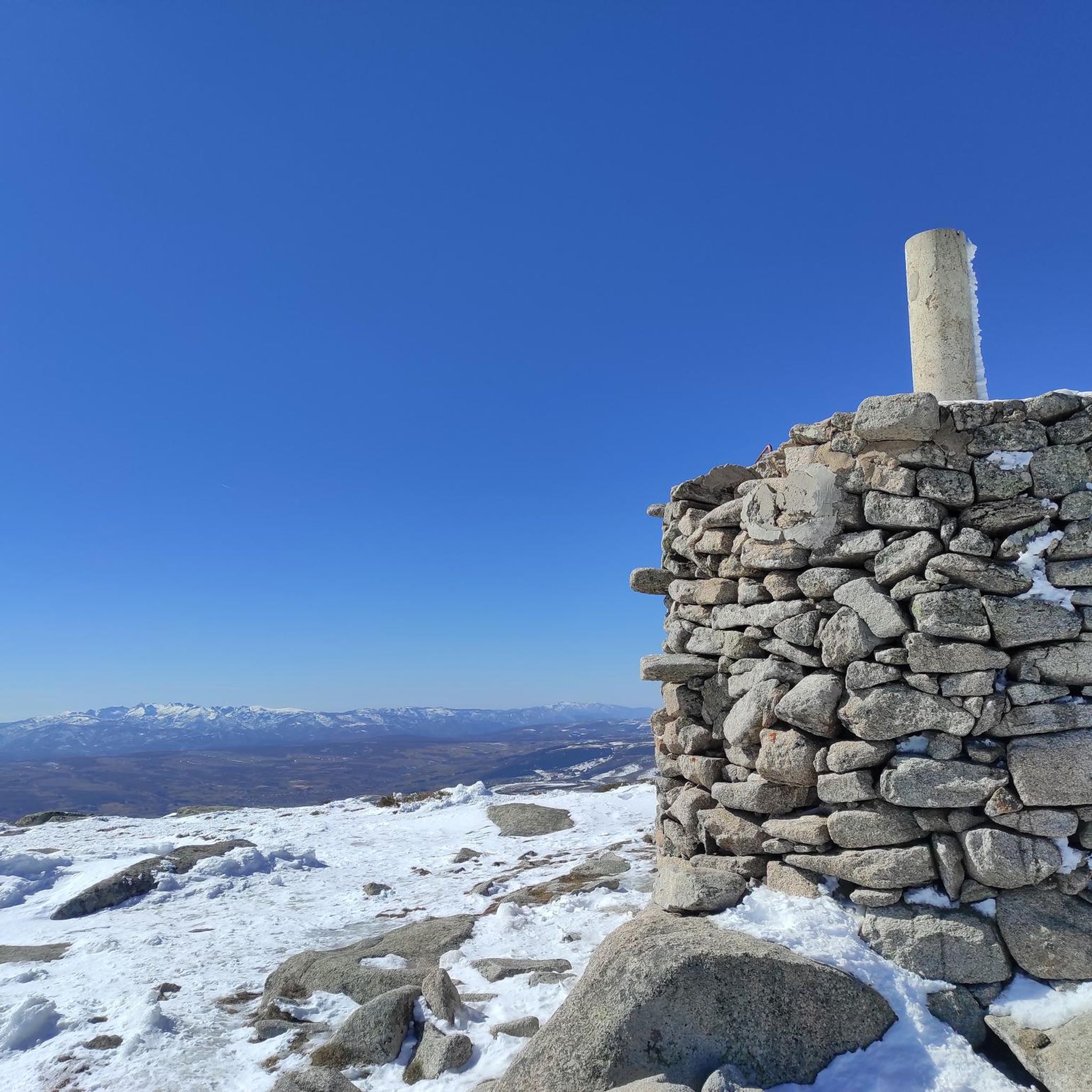
With an altitude of 1663 meters, this mountain pass is located at the point that connects two valleys, the Valle del Corneja (Valdecorneja) with the Alto Valle del Alberche.
0
0

La Horcajada is located in the southwest triangle of the province of Ávila. It is practically the space between the foothills of Gredos and the mountain ranges of Malpartida and Collado del Mirón, on the one hand, and the port of Villatoro and the confluence of the Corneja and Tormes rivers, on the other. This surface has been called "Valdecorneja" for centuries. The Cancionero de Baeza, from 1445, for example, records this. The four most important towns in the Valley are, possibly since Vetton times or before, El Mirón, Piedrahíta, La Horcajada and El Barco de Ávila. La Horcajada is located about 75 kilometers southwest of the provincial capital, Ávila, about 82 kilometers from Salamanca and 185 kilometers from Madrid. The town is located at 1033 m above sea level. n. m. between the towns of Piedrahíta and Barco de Ávila on the slopes of the Sierra de la Horcajada.
1
0
Frequently Asked Questions
How many road cycling routes are available around Villafranca De La Sierra?
There are over 20 road cycling routes around Villafranca De La Sierra, offering a diverse range of experiences for cyclists. The majority of these routes are classified as difficult, catering to riders with very good fitness levels.
What is the general difficulty level of road cycling routes in Villafranca De La Sierra?
Road cycling in Villafranca De La Sierra is predominantly challenging, with 20 out of 21 routes rated as difficult. These routes often feature significant elevation gains and traverse mountain passes, making them suitable for experienced road cyclists seeking demanding climbs and descents.
What kind of landscapes can I expect to see while road cycling in Villafranca De La Sierra?
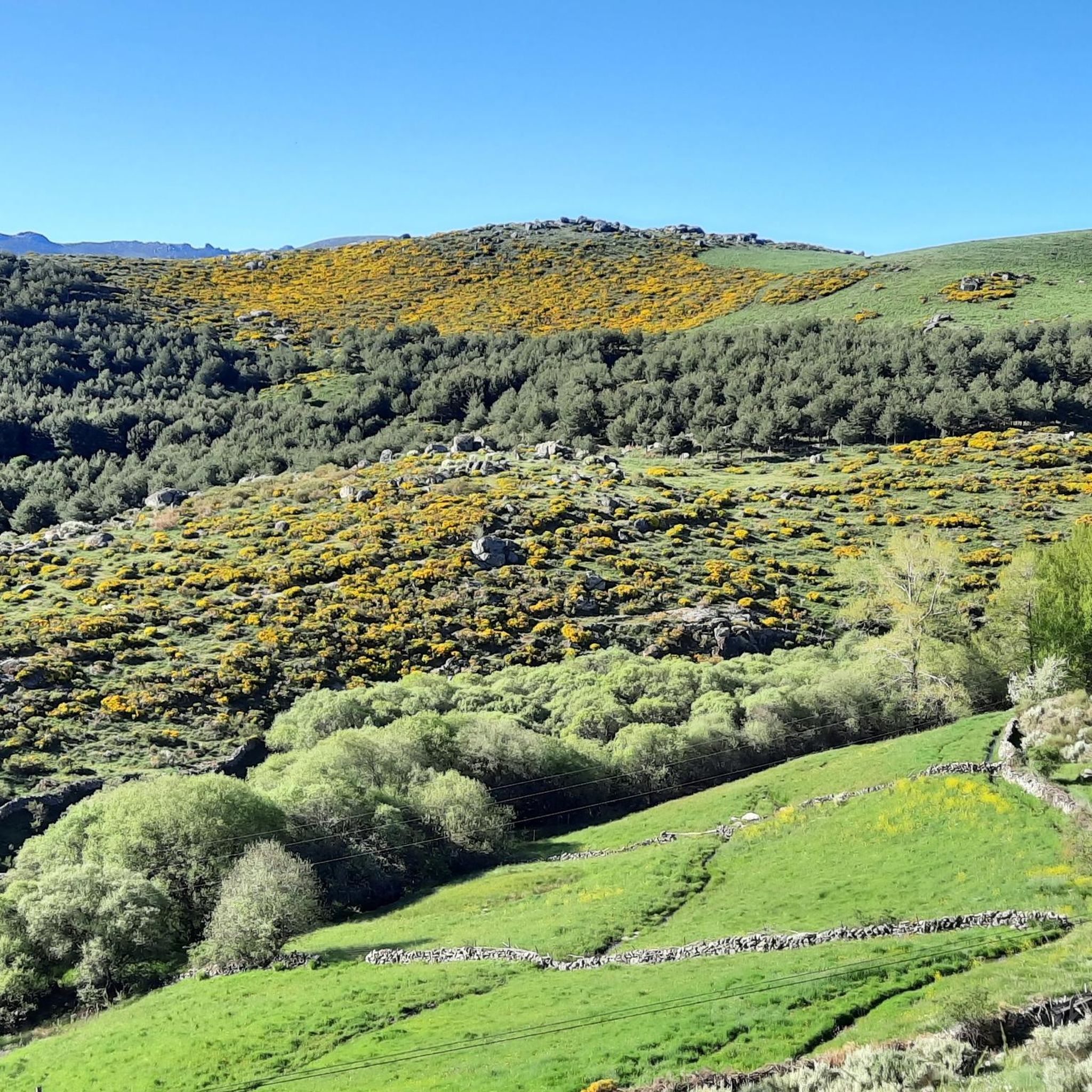
The region offers a picturesque and varied landscape. You'll cycle through the scenic Corneja valley, flanked by the Sierra de Villafranca, with views of meadows, orchards, and forests of oak and poplar trees. Expect routes along river valleys like the Corneja, Tormes, and Alberche, and challenging ascents over prominent mountain passes.
Are there any notable mountain passes for road cyclists in the region?
Yes, Villafranca De La Sierra is known for its challenging mountain passes. Cyclists can tackle the Chía Pass (1,663 m), offering panoramic views, or the demanding Peña Negra Pass. Other significant passes in the Sierra de Villafranca include Reventón, Santiago, and Fuente Alberche, providing rewarding climbs.
What are some of the longest road cycling routes starting from Villafranca De La Sierra?
For those seeking longer distances, the Rodeo a la Sierra de la Panamera — circular por el Puerto de Navalmoral is a substantial option, covering 91.2 miles (146.8 km) with significant elevation. Another long route is the Peña Negra Pass – Puerto de Villatoro loop from Puerto de Villatoro, which is 106.3 km long.
Are there any circular road cycling routes available?
Yes, many routes in the area are designed as loops, allowing you to start and finish in the same location. Examples include the Cañada del Horno and Sierra de Gredos Loop and the Chía Pass and Corneja Valley Loop, both offering extensive circular tours through the region's stunning landscapes.
What historical or cultural attractions can I find near the cycling routes?
Beyond the natural beauty, Villafranca De La Sierra boasts a rich history. You can explore its medieval origin with a main square featuring heraldic houses, the 15th-century Church of Nuestra Señora de la Asunción, and remnants of a ruined fortress. The town also has one of the oldest bullrings in Ávila, dating back to 1853.
Are there any specific viewpoints or scenic spots along the road cycling routes?
The N-110 road, especially leading to the Puerto de Chía, offers breathtaking panoramic views of the multi-colored Corneja valley and the rich pastures of La Serrota and the Sierra de Villafranca. Mountain passes like Peña Negra Pass and Chía Pass (1,663 m) are also prime locations for stunning vistas.
What do other cyclists enjoy most about road cycling in Villafranca De La Sierra?
The area is highly rated by the komoot community, with an average score of 4.0 stars. Cyclists often praise the challenging nature of the routes, the stunning mountainous landscapes, and the rewarding climbs over passes like Chía and Peña Negra, which offer incredible views.
Is there a waterfall accessible near the cycling routes?
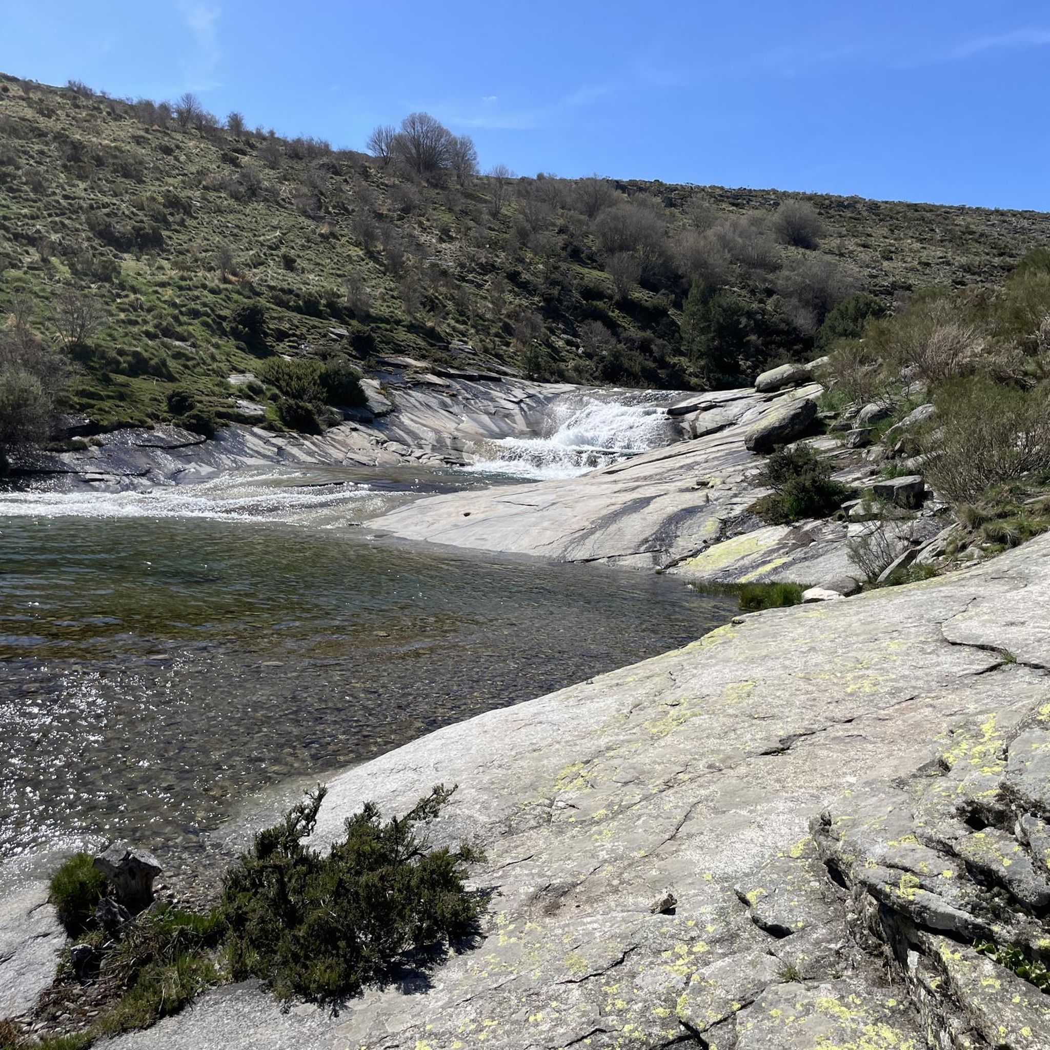
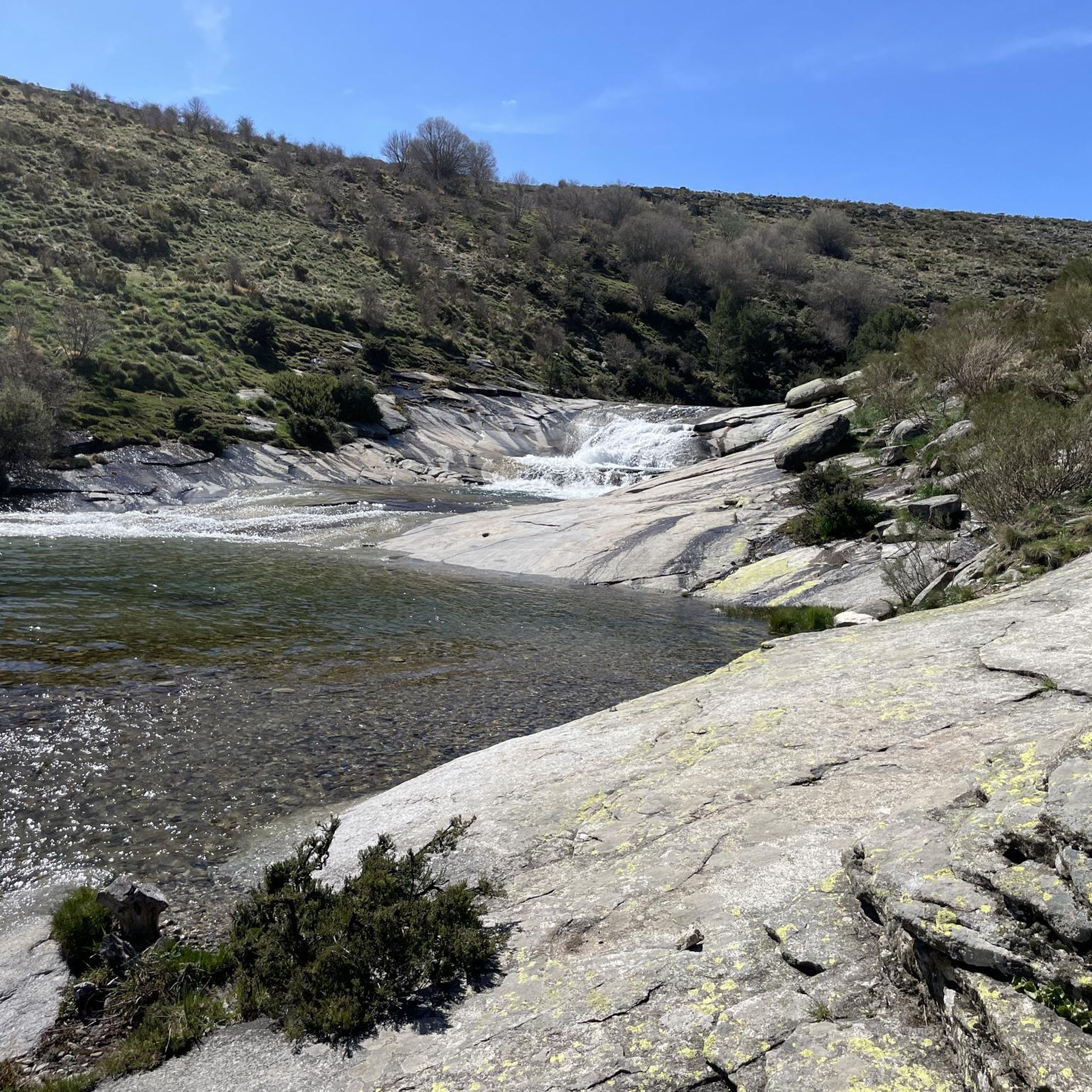
Yes, a beautiful waterfall formed by the Arroyo de las Malezas can be found within the municipality. It's accessible via a route that begins near the 'Molino del Tío Alberto', which is the sole remaining mill of what was once an extensive route of over 20 mills along the Corneja river.
What is the best time of year for road cycling in Villafranca De La Sierra?
While specific seasonal data isn't provided, the diverse terrain and mountain passes suggest that spring and autumn would likely offer the most pleasant conditions for road cycling, avoiding the extreme heat of summer and potential snow or ice in winter at higher elevations. Always check local weather forecasts before planning your ride.
Are there any routes that pass through the Sierra de Gredos?
Yes, the Cañada del Horno and Sierra de Gredos Loop is a popular route that takes you through the Sierra de Gredos, offering significant elevation and a challenging ride through this renowned mountain range.
Most popular attractions around Villafranca De La Sierra

Get inspired with the komoot mobile app


Explore more
Browse the best Road cycling routes in other regions.
