The best MTB trails around Churriana De La Vega
4.4
(1182)
11,251
riders
445
rides
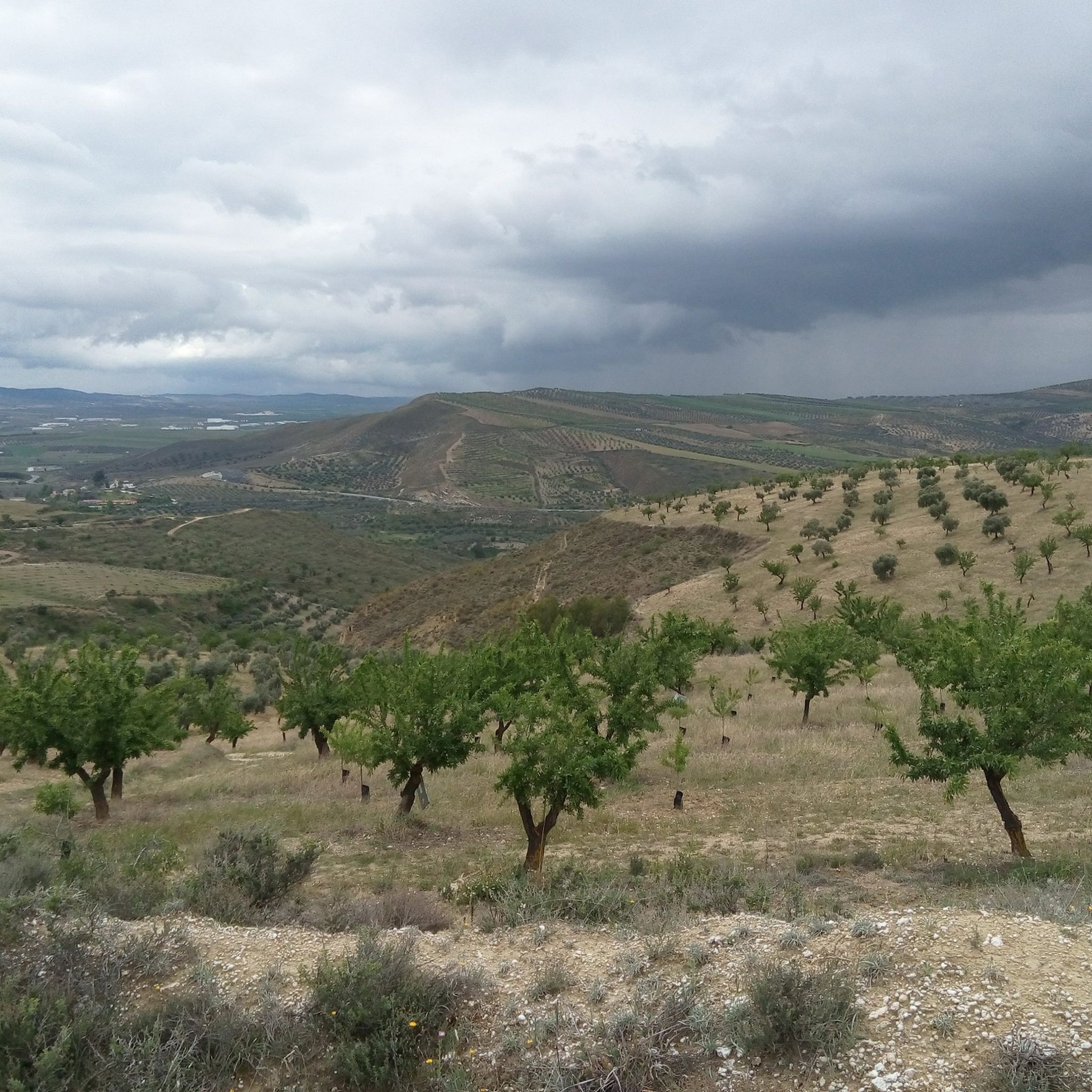
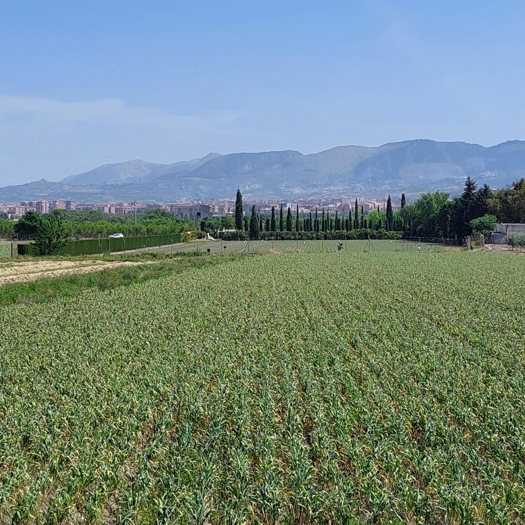
Mountain bike trails around Churriana De La Vega traverse a landscape characterized by river valleys, local hills, and agricultural areas. The region offers a mix of terrain, from paths alongside the Dílar River to routes exploring elevated viewpoints. Its proximity to the Sierra Nevada mountain range provides access to diverse natural landscapes, including both flat agricultural routes and challenging mountainous terrain. These cycling trails provide opportunities to experience varied topography.
Best mountain bike trails around Churriana De La Vega
- The…
Last updated: July 5, 2026
4.9
(18)
287
riders
47.3km
04:06
910m
910m
Hard mountain bike ride. Very good fitness required. Suitable for all skill levels.
4.1
(18)
103
riders
45.9km
03:09
150m
150m
Moderate mountain bike ride. Good fitness required. Suitable for all skill levels.

Sign up for free
4.1
(9)
89
riders
57.8km
04:44
1,360m
1,360m
Hard mountain bike ride. Very good fitness required. Suitable for all skill levels.
5.0
(1)
58
riders
64.6km
05:48
1,030m
1,030m
Hard mountain bike ride. Very good fitness required. Suitable for all skill levels.
5.0
(3)
37
riders
71.1km
06:44
1,820m
1,820m
Hard mountain bike ride. Very good fitness required. Advanced riding skills necessary.
Get access to more routes and recommendations from other explorers.
Sign up for free
Already have an account?
Our route recommendations are based on thousands of hikes, rides, and runs completed by other people on komoot.
Start today with a free account
Your next adventure awaits.
Login or Signup

Other adventures around Churriana De La Vega

Tips from the Community

Attention: This tour is strongly discouraged! It leads through private property at least twice, once even through a private hunting ground! The path is blocked by gates and barriers. We aborted the tour and had to painstakingly find a way back.
0
0

The El Purche Road, in Monachil (La Vega de Granada), is an emblematic road that connects the urban area with the Sierra Nevada National Park, well known to cyclists, hikers and lovers of panoramic views.
2
0
Near the Old Hermitage in Dílar, there is a spring and a pool that are very useful for refilling your water bottles during hikes. They are located in the Río Dílar Recreation Area, a few meters from the main building, and are usually signposted along the trails.
1
0
Near the Old Hermitage in Dílar, there is a spring and a pool that are very useful for refilling your water bottles during hikes. They are located in the Río Dílar Recreation Area, a few meters from the main building, and are usually signposted along the trails.
1
0
It is located in the Sierra Nevada Natural Park, about 18 km from the city of Granada, next to the Dílar River and surrounded by riverside forests and walnut groves. A natural viewpoint with spectacular views of the valley and Granada.
1
1


Stop yes or yes
1
1

The view from Güéjar Sierra reveals a charming white village nestled among the mountains, with narrow streets and tiled roofs that seem to embrace nature. In the background, the peaks of the Sierra Nevada create a stunning landscape.
1
0
Frequently Asked Questions
How many mountain bike trails are available around Churriana De La Vega?
There are 16 mountain bike trails around Churriana De La Vega, offering a variety of options for different skill levels and preferences.
Are there mountain bike trails suitable for beginners in Churriana De La Vega?
Yes, there are 5 easy mountain bike trails in the area. A good option for beginners is the Aurora Mine – El Cerro de Montevive loop from Churriana de la Vega, which is 15.3 miles (24.6 km) long and features a moderate elevation gain.
What is the best time of year for mountain biking in Churriana De La Vega?
The region generally experiences mild winters and hot summers. Spring and autumn are typically the most pleasant seasons for mountain biking, offering comfortable temperatures and less extreme weather conditions. Always check the local forecast before heading out.
Are there any challenging mountain bike routes for experienced riders?
Yes, Churriana De La Vega offers 5 difficult mountain bike routes. The Aljibe Miñarro – Mirador de Cónchar loop from Churriana de la Vega is a challenging 37.8 miles (60.8 km) trail with significant elevation changes, leading through local hills and past viewpoints.
Can I find circular mountain bike routes in the area?
Many of the mountain bike trails around Churriana De La Vega are circular. For example, the popular Dílar – Río Dílar loop from Armilla is a moderate 21.6 miles (34.8 km) loop that explores the Dílar River area.
What kind of terrain can I expect on the mountain bike trails?
The trails traverse a varied landscape, including paths alongside the Dílar River, local hills, and agricultural areas. You can expect a mix of river valleys, ascents to scenic viewpoints, and diverse topography.
Are there any viewpoints along the mountain bike trails?
Yes, several routes offer scenic viewpoints. The Aljibe Miñarro – Mirador de Cónchar loop from Churriana de la Vega, for instance, passes by elevated viewpoints. Additionally, the nearby San Nicolás Viewpoint offers panoramic views and is accessible from some routes.
What do other mountain bikers enjoy most about mountain biking in Churriana De La Vega?
The area is highly rated by the komoot community, with an average score of 4.38 stars from over 12 reviews. Riders often praise the varied terrain, the scenic river valleys, and the opportunities to explore local hills and viewpoints.
Are there any historical sites or natural attractions near the mountain bike trails?
Yes, the region is rich in attractions. You can find historical sites like the famous Alhambra and its Lower Gardens of the Generalife. For natural beauty, consider visiting the Santa Fe Hot Springs or the unique La Malahá Badlands.
What is the longest mountain bike trail in the area?
The longest trail listed is the Aljibe Miñarro – Mirador de Cónchar loop from Churriana de la Vega, which spans 37.8 miles (60.8 km) and typically takes around 4 hours and 51 minutes to complete.
Are there any moderate difficulty mountain bike trails?
Yes, there are 6 moderate trails available. The Ramirez Bikes loop from Armilla is a moderate 22.1 miles (35.6 km) route with significant elevation gain, offering a good balance of challenge and enjoyment.
Most popular routes around Churriana De La Vega
Most popular attractions around Churriana De La Vega

Get inspired with the komoot mobile app


Explore more
Browse the best MTB trails in other regions.
