The best running trails around Deifontes
4.9
(6)
439
runners
21
runs
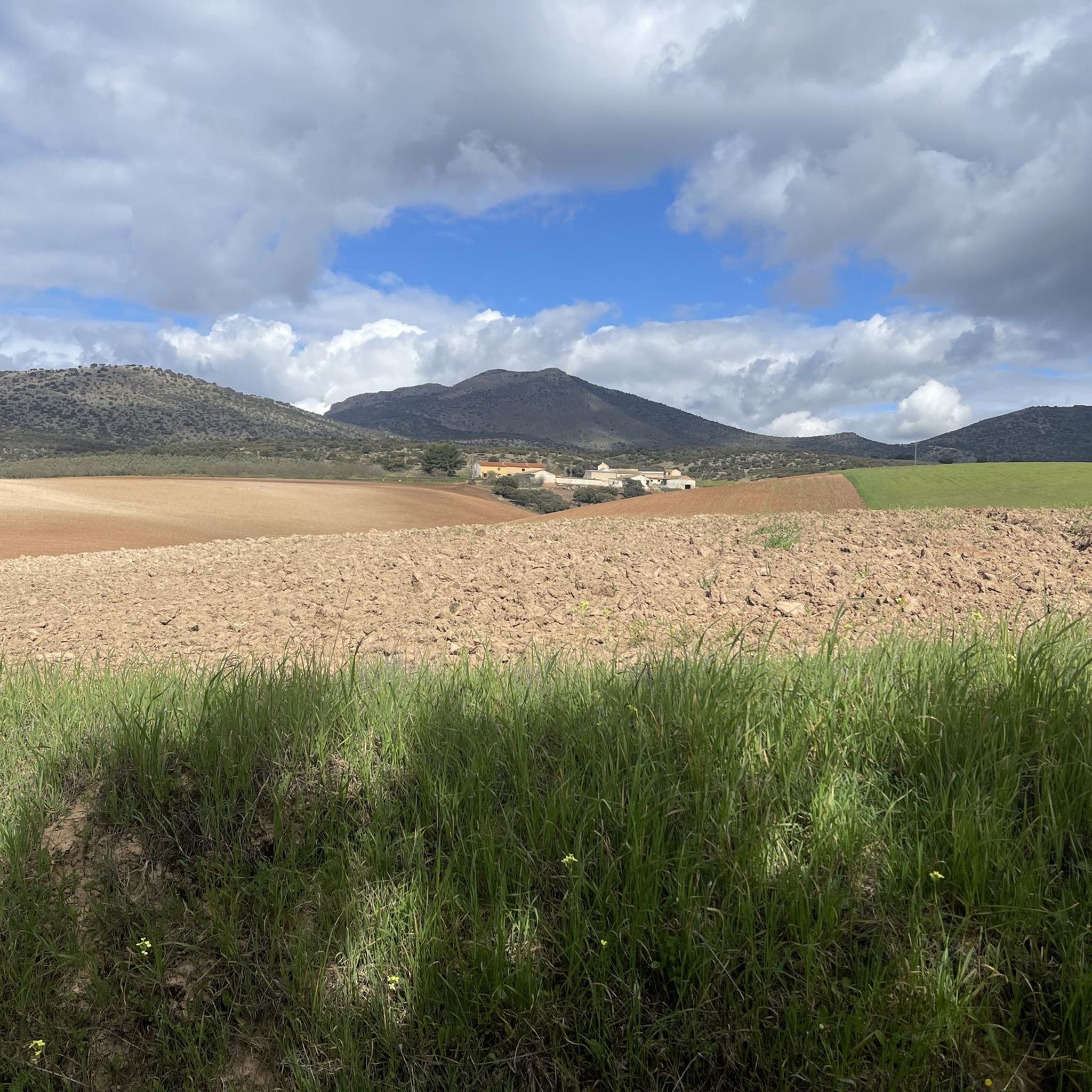
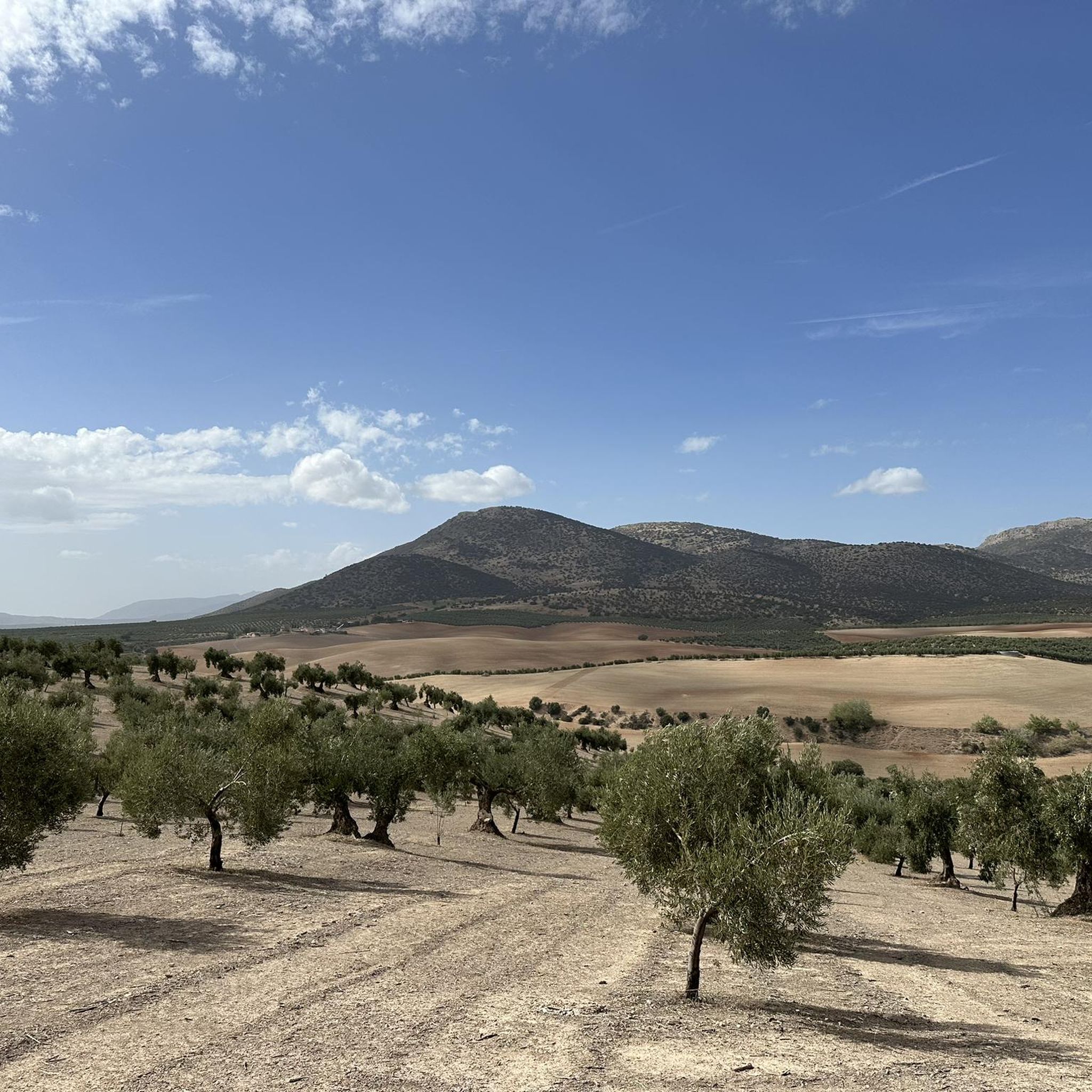
Jogging routes around Deifontes are set within the Montes Orientales region, characterized by its varied terrain at the foothills of Sierra Arana. The area features numerous natural springs, including the significant Nacimiento spring, and the Cubillas River, which feeds the nearby Cubillas reservoir. Runners can expect a mix of forest tracks, gentle paths, and more challenging inclines, with surfaces ranging from tarmac to dirt tracks.
Best jogging routes around Deifontes
- The most popular jogging route is Cubillas Reservoir – Cubillas…
Last updated: October 22, 2026
40
runners
26.4km
03:35
1,080m
1,080m
Hard run. Very good fitness required. Mostly paved surfaces.
14
runners
Moderate run. Good fitness required. Mostly paved surfaces.

11
runners
10.5km
01:10
80m
80m
Moderate run. Good fitness required. Mostly paved surfaces.
8
runners
6.44km
00:44
140m
140m
Moderate run. Good fitness required. Mostly paved surfaces.
9
runners
10.7km
01:13
190m
190m
Moderate run. Good fitness required. Mostly paved surfaces.
Get access to more routes and recommendations from other explorers.
Already have an account?
Our route recommendations are based on thousands of hikes, rides, and runs completed by other people on komoot.
Start today with a free account
Your next adventure awaits.


Tips from the Community

What to see in Moclín Moclín Castle: A 14th-century Nasrid fortress with walls and cisterns. Impressive views of the Sierra Nevada mountains and the Granada plain. Gollizno Route (PR-A 84): A circular trail (8 km) with a suspension bridge, viewpoints, and the Velillos River canyon. Includes the La Luz Dam and the Malalmuerzo Cave. Historic Hermitages: San Antón (at the entrance to the village). Virgen de las Angustias (Our Lady of Sorrows), surrounded by nature.
3
0
Moclín is a charming destination, ideal for those who enjoy history, nature, and panoramic views. It's a typical Andalusian white village, peaceful and with cobbled streets that preserve its traditional essence. It stands out for its historical heritage (Nasrid castle, hermitages) and its natural surroundings, perfect for hiking.
3
0
It is located about 1.3 km from the town center, in a natural setting near the Fuente de la Buena Ventura spring. A small, whitewashed rural hermitage, simple in its architecture, both devotional and functional. Inside are two images: the Virgin of Sorrows and another known as Fraileopoldo. It forms part of the famous Gollizno Route (PR-A84), and is one of its recognized points of interest.
3
0

Unparalleled beauty to recharge your batteries and your senses
0
0

A very cool sunset, a place to walk and ride a bike with the family
0
0

The Cubillas Reservoir extends across the municipalities of Albolote and Atarfe. It was built in 1956 and is primarily used for water supply and agricultural irrigation. The reservoir has an area of 194 hectares and a maximum depth of approximately 20 meters. The reservoir's main tributary is the Cubillas River. The reservoir's surroundings are characterized by pine forests, oak trees, and Mediterranean vegetation, and the lake is an important habitat for many fish species. The Cubillas Reservoir also serves as a resting place for various bird species, including the Great Cormorant and the Dunnock. The reservoir offers numerous recreational opportunities, including sailing, windsurfing, canoeing, jet skiing, and water skiing. There is a large picnic area on the shore and a restaurant overlooking the lake.
2
1

Beautiful tour and great view
1
0

Frequently Asked Questions
What kind of terrain can I expect on the running routes around Deifontes?
Jogging routes in Deifontes offer a diverse mix of terrains, from gentle paths to more challenging inclines. You'll find forest tracks, varied surfaces that can include tarmac, grass, and dirt tracks, especially as you ascend into the Sierra Arana foothills. The area's natural springs and the Cubillas River also mean many routes feature refreshing water elements.
Are there many running routes available in Deifontes?
Yes, the Deifontes area offers a good selection for runners. There are over 10 running routes available, catering to various fitness levels from moderate to difficult.
Are there any running routes that feature water views or natural springs?
Absolutely. Deifontes is known for its abundant natural springs and the Cubillas River. Many routes, such as the Cubillas Reservoir – Shore of the Cubillas Reservoir loop from Toro de Osborne, follow the scenic shore of the Cubillas Reservoir, offering beautiful water views. The region's 'Fountain Trail' also integrates numerous natural springs into its paths.
What are some of the longer or more challenging running routes in the area?
For those seeking a longer challenge, the Cubillas Reservoir – Shore of the Cubillas Reservoir loop from Presa del Cubillas is a difficult 12.8-mile (20.6 km) trail that leads through the Cubillas Reservoir area. Another demanding option is the Sierra de Huétor – Mina Viewpoint loop from Campamento de la Alfaguara, which covers nearly 10 miles (16 km) with significant elevation gain.
Can I find circular running routes in Deifontes?
Yes, many of the running routes around Deifontes are circular, allowing you to start and finish at the same point. For example, the popular Cubillas Reservoir – Cubillas Reservoir loop from Presa del Cubillas is a 6.9-mile (11.0 km) circular trail offering views around the reservoir.
What historical landmarks or points of interest can I see while running in Deifontes?
As you explore Deifontes, you can encounter several historical points of interest. The Sanatorio Antituberculoso de la Alfaguara is a notable historical site. You might also discover ancient Roman remains like the Presa de Barcinas (Roman Dam), or the fourteenth-century Arabic watchtower, La Atalaya, which offers panoramic views. The village itself features historic buildings such as the neo-Mudejar parish church and La Casa Grande.
What do other runners say about the trails in Deifontes?
The running routes in Deifontes are highly regarded by the komoot community, with an impressive average score of 4.9 stars from 5 reviews. Over 290 runners have used komoot to explore the varied terrain, often praising the scenic beauty and diverse options available.
Are there any viewpoints along the running routes in Deifontes?
Yes, the region offers several rewarding viewpoints. The Los Pozos Viewpoint is a great spot to take in the scenery. Additionally, the Arabic watchtower, La Atalaya, accessible via a forest track, provides beautiful panoramic views of the countryside, making it a rewarding destination during a run.
What is the best season for running in Deifontes?
Deifontes, with its Mediterranean climate, is generally pleasant for running for much of the year. Spring and autumn offer mild temperatures, ideal for longer runs. Even in summer, the presence of numerous natural springs and the Cubillas River can provide a refreshing element to your run, though it's best to go early morning or late afternoon to avoid the midday heat.
Are there any family-friendly running paths in Deifontes?
While specific 'easy' routes are not highlighted in the data, the diverse terrain of Deifontes includes gentle paths suitable for families. The areas around the Cubillas Reservoir often feature relatively flat sections that can be enjoyed by runners of all ages. It's always recommended to check the route details for elevation and surface type to ensure it meets your family's needs.
Is there parking available near the trailheads in Deifontes?
While specific parking locations are not detailed, the popularity of outdoor activities in Deifontes suggests that parking is generally available near common access points for trails, especially around the Cubillas Reservoir area and village outskirts. It's advisable to check local signage upon arrival.
Can I reach any of the running routes by public transport in Deifontes?
Deifontes is a village in the Montes Orientales region. While public transport options might be limited directly to all trailheads, the village itself is accessible. From there, many routes, particularly those around the Cubillas Reservoir, may be within a reasonable distance to start your run. For specific public transport details, local information services would be the best resource.
Most popular attractions around Deifontes

Get inspired with the komoot mobile app


Explore more
Browse the best Running Trails & Routes in other regions.
