The best MTB trails around Sorihuela Del Guadalimar
4.7
(8)
150
riders
30
rides
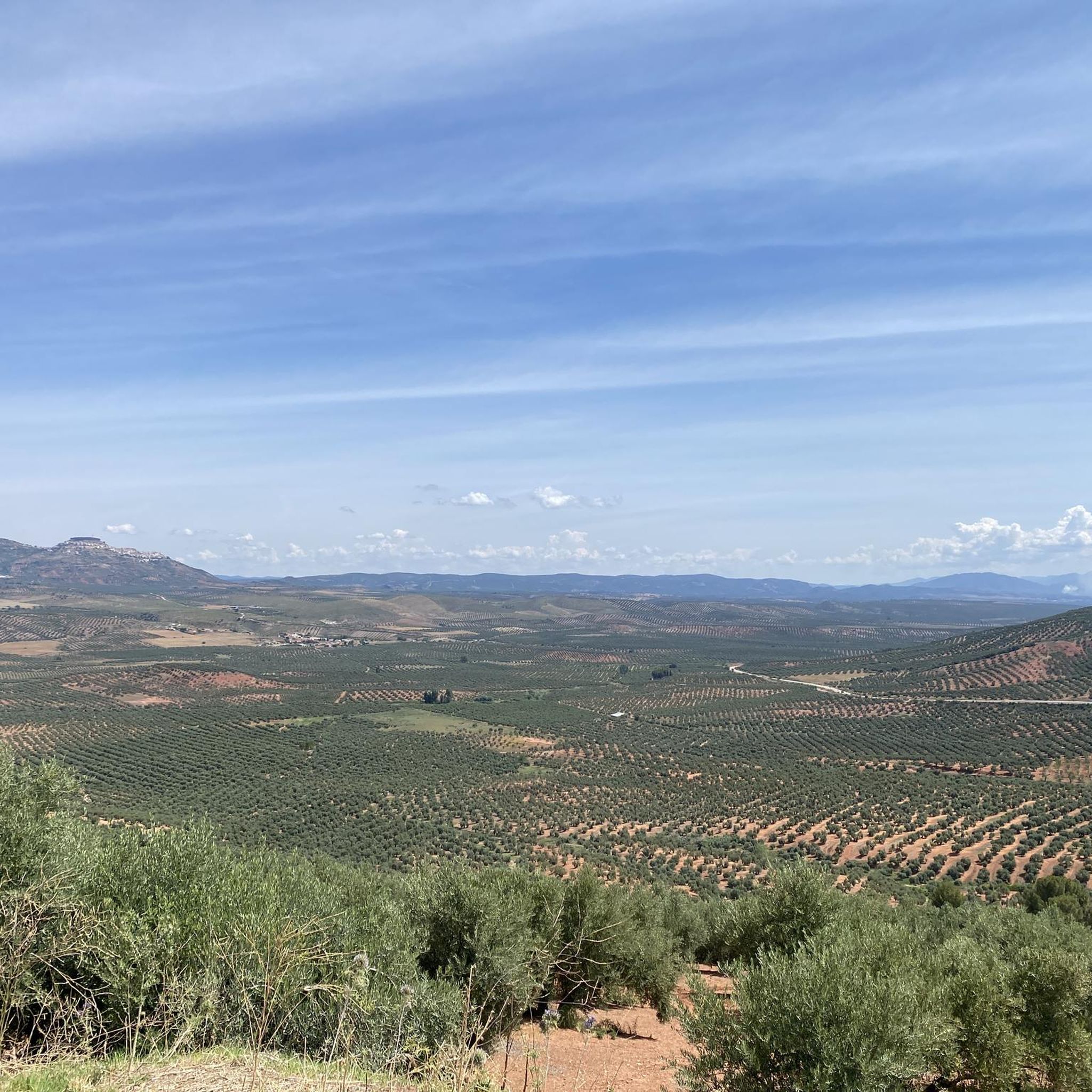
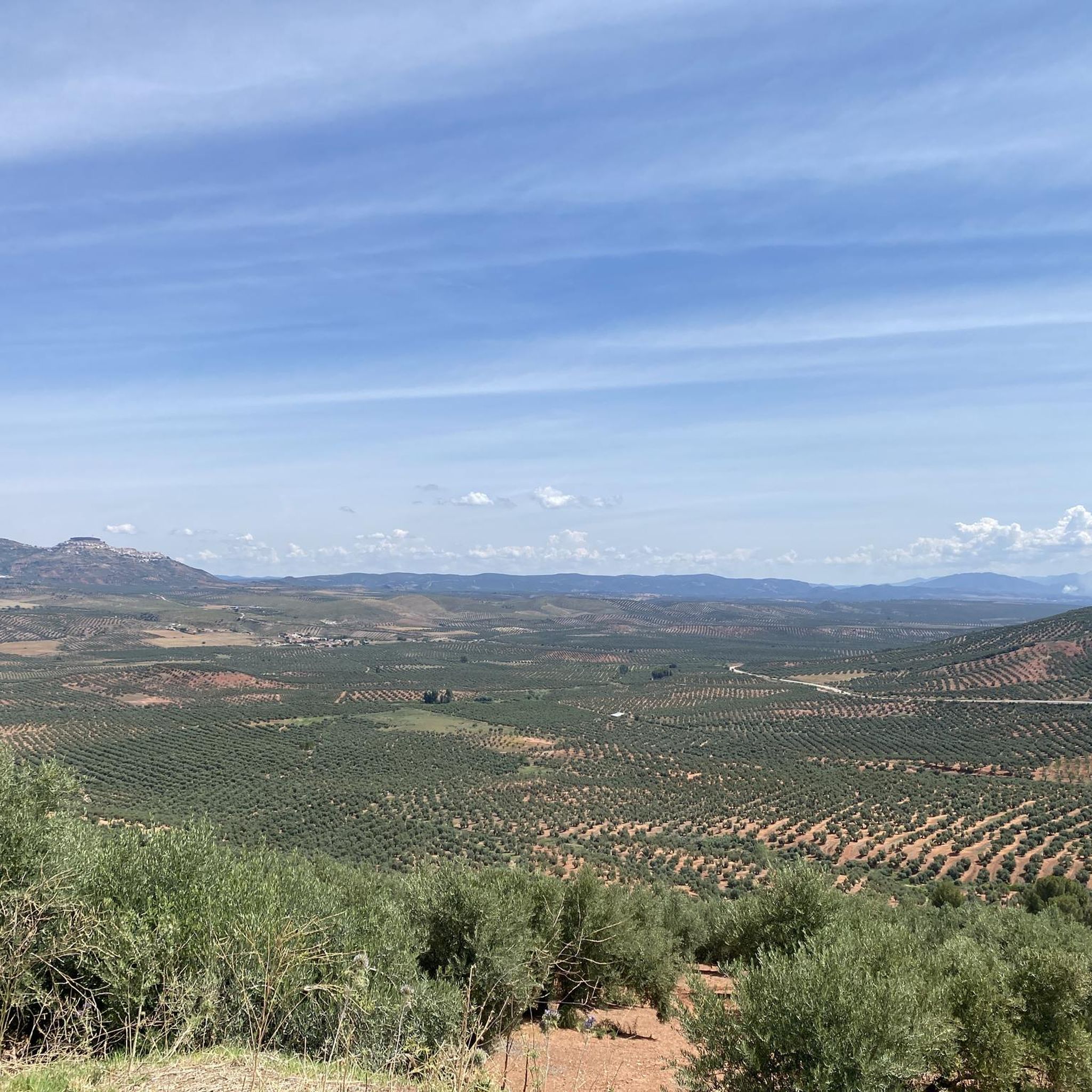
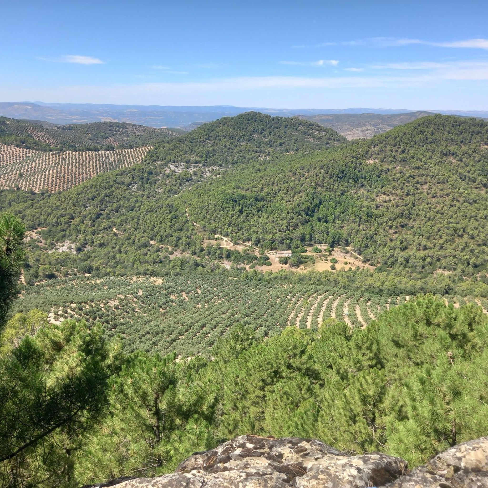
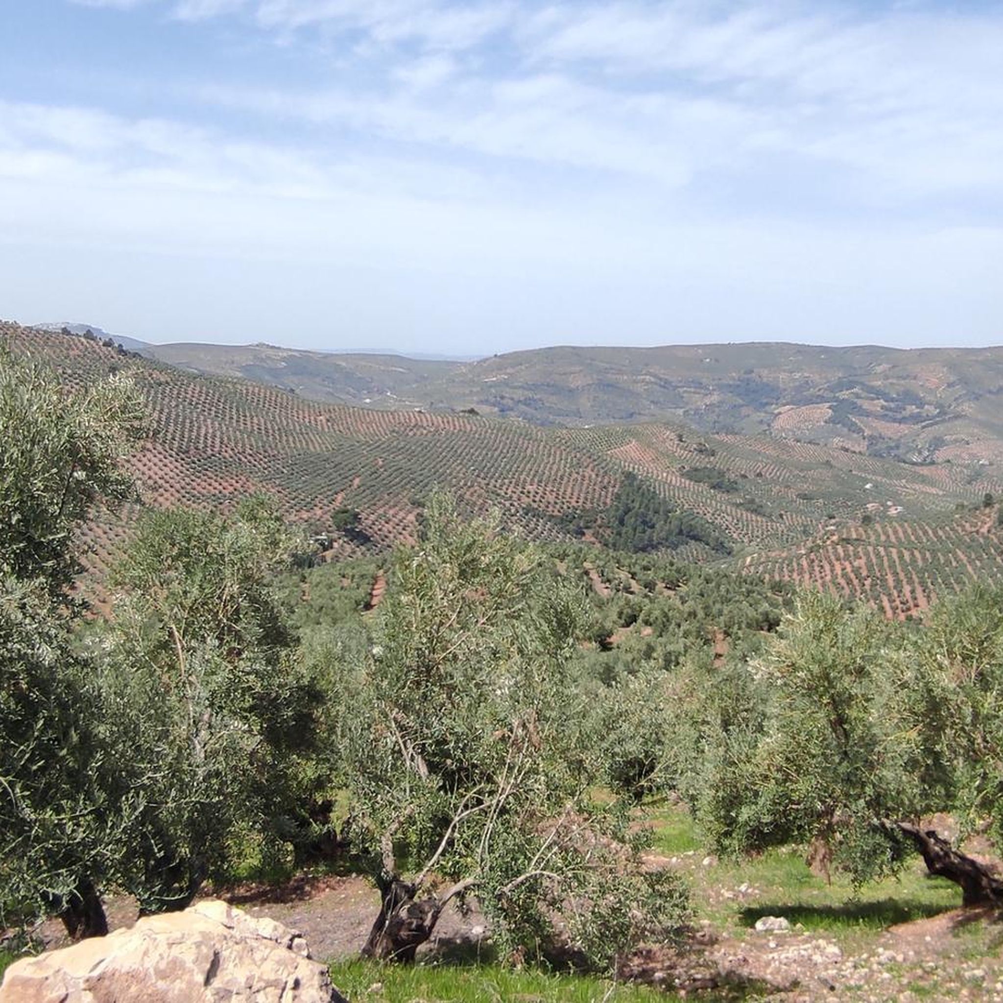
Mountain bike trails around Sorihuela del Guadalimar are situated within the vast Sierras de Cazorla, Segura y las Villas Natural Park, offering a diverse landscape for cycling. The region features extensive olive groves, cereal fields, and significant forest coverage, particularly within the natural park's enclave. Waterways like the Guadalimar and Guadalquivir rivers traverse the area, contributing to its varied terrain. This mountainous environment provides a backdrop of elevations, valleys, and gorges suitable for mountain biking.
Best mountain bike trails around…
Last updated: July 1, 2026
3
riders
Hard mountain bike ride. Very good fitness required. Advanced riding skills necessary.
22
riders
65.2km
06:43
2,010m
2,010m
Hard mountain bike ride. Very good fitness required. Suitable for all skill levels.

Sign up for free
7
riders
Moderate mountain bike ride. Good fitness required. Suitable for all skill levels.
6
riders
35.9km
03:22
740m
740m
Moderate mountain bike ride. Good fitness required. Suitable for all skill levels.
5
riders
Moderate mountain bike ride. Good fitness required. Suitable for all skill levels.
Get access to more routes and recommendations from other explorers.
Sign up for free
Already have an account?
Our route recommendations are based on thousands of hikes, rides, and runs completed by other people on komoot.
Start today with a free account
Your next adventure awaits.
Login or Signup

Other adventures around Sorihuela Del Guadalimar

Tips from the Community

Good route, but if it is before 11am, it will be cold and frosty, otherwise a fun route
1
0

The name does not really honor the place, because it is an area where a small water reservoir is produced, "without oil" 🤭 but it is an ideal area for bathing and resting. From there begins an endless climb towards one of the most beautiful areas of the mountains: the refuge of La Parra
1
0

This charming town belongs to the Sierra del Segura region. It is surrounded by hills full of olive groves. Many consider this town the door to the mountains, since it is the starting point of several hiking trails.
0
0

El Guijarrón (1273 meters) is an incredible natural balcony with spectacular views of the El Tranco reservoir. Surely you will find a mountain goat there or a vulture flying over the sky! At the top there is also a fire watch house that can be used as a shelter (except in the fire season).
0
0

It is possible to go hiking in the surroundings through short routes along the path that runs parallel to the river. Some 200m downstream on the left bank is the mouth of the Tranco reservoir drainage tunnel, where the water comes out turbulently.
11
0

Small oasis on the banks of the Guadalquivir river, at the foot of the Sierra de las Cuatro Villas. Refreshing river water is captured to provide a beautiful natural pool.
1
0
A small town is located in the hills above Úbeda, near the mountains of the Sierra de las Cuatro Villas, overlooking the sea of olive trees of the surrounding landscape. The origin of the town dates back to 1212 and at the end of the Battle of Las Navas de Tolosa.
1
0
Small town located on the A-6301 road that crosses the town between Sierra Morena and Sierra de Segura. The area is the largest protected natural space in Spain.
1
0
Frequently Asked Questions
How many mountain bike trails are available around Sorihuela Del Guadalimar?
There are over 25 mountain bike trails available around Sorihuela Del Guadalimar, offering a variety of experiences within the vast Sierras de Cazorla, Segura y las Villas Natural Park.
Are there mountain bike trails suitable for beginners in Sorihuela Del Guadalimar?
Yes, while many routes are moderate to difficult, there is at least one easy mountain bike trail available. Additionally, there are 14 moderate trails that could be suitable for riders looking to progress beyond beginner level.
What are the best times of year for mountain biking in Sorihuela Del Guadalimar?
The most pleasant times for mountain biking in Sorihuela Del Guadalimar are during spring and autumn. The climate is milder and more agreeable during these seasons, allowing you to avoid the intense summer heat.
Are there any circular mountain bike routes in the area?
Yes, several circular routes are available. A popular option is Risca del Guijarrón desde el charco del Aceite - circular por el P. N. de las Sierras de Cazorla, Segura y las Villas, which explores the natural park. Another is the extensive La Osera – Collado de la Tablilla loop from Venta del pino, featuring significant elevation gain.
What kind of landscapes can I expect on the mountain bike trails?
The trails traverse diverse landscapes, including extensive olive groves, cereal fields, and significant forest coverage, especially within the natural park. You'll also encounter a mountainous environment with valleys, gorges, and waterways like the Guadalimar and Guadalquivir rivers.
What do other mountain bikers enjoy most about the trails in Sorihuela Del Guadalimar?
The mountain bike routes in Sorihuela Del Guadalimar are highly rated by the komoot community, with an average score of 4.75 stars from more than 5 reviews. Riders often praise the varied terrain, from olive groves to dense forests and mountainous sections, which provide engaging and diverse experiences.
Are there any viewpoints or scenic spots along the mountain bike trails?
Yes, the region offers several scenic spots. You might encounter viewpoints such as Risca del Guijarrón and Huelguecillas Viewpoint, which provide expansive views of the natural park's 'orographic labyrinth' of valleys and mountains.
Are there any natural pools or rivers to see along the routes?
Absolutely. The region is home to important waterways. A notable natural attraction is the Charco del Aceite (also known as Charco de la Pringue), a natural pool and recreational area within the Guadalquivir riverbed. The Guadalimar and Guadalquivir rivers themselves contribute to the area's hydrological significance.
What is the typical length and difficulty of mountain bike trails in this area?
Trail lengths vary significantly. For example, the Risca del Guijarrón circular route is about 19.5 miles (31.3 km) and difficult, while the Villacarrillo loop is 24.0 miles (38.7 km) and moderate. Overall, you'll find a mix of moderate and difficult trails, with 14 moderate and 13 difficult options.
Are there any historical or cultural points of interest near the mountain biking routes?
Yes, beyond its natural beauty, the area offers historical points of interest. These include the Torreón Árabe (Arab Tower), dating back to 886, and the Renaissance-style Iglesia Parroquial de Santa Águeda from the 16th century. The village itself retains a medieval layout, reflecting its rich history.
Can I find longer, more challenging mountain bike routes in Sorihuela Del Guadalimar?
Yes, for experienced riders seeking a challenge, there are 13 difficult mountain bike trails. An example is the extensive La Osera – Collado de la Tablilla loop from Venta del pino, which spans 35.5 miles (57.1 km) with significant elevation gain through the mountainous landscape.
What is the longest mountain bike trail available?
One of the longest routes is La Osera – Collado de la Tablilla loop from Venta del pino, covering approximately 35.5 miles (57.1 km). This difficult trail offers an extensive ride through the region's mountainous terrain.
Most popular routes around Sorihuela Del Guadalimar
Most popular attractions around Sorihuela Del Guadalimar

Get inspired with the komoot mobile app


Explore more
Browse the best MTB trails in other regions.
