The best running trails around Hontanar
49
runners
6
runs
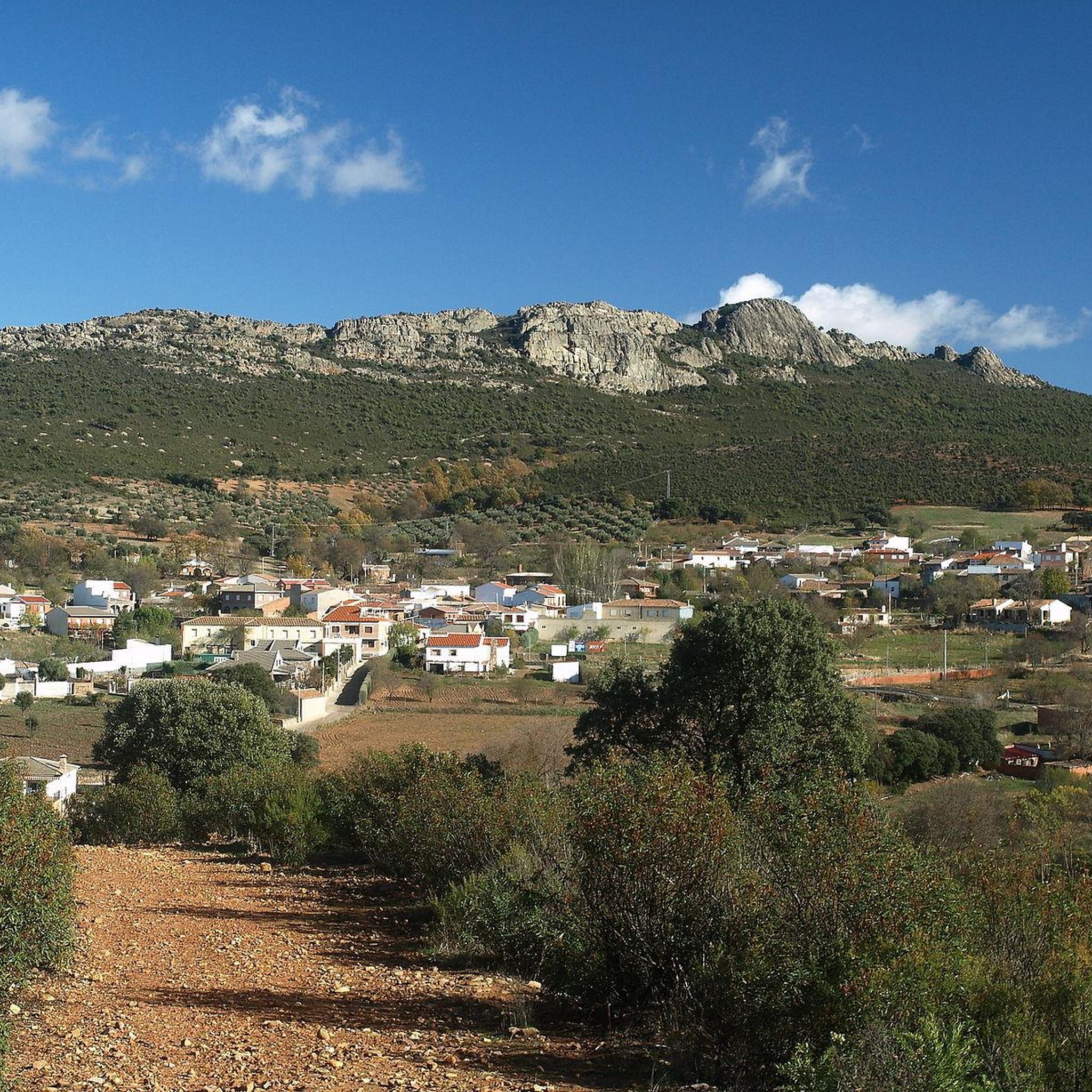
Jogging around Hontanar offers an opportunity to explore a natural setting within the Montes de Toledo region and Cabañeros National Park. The area is characterized by deep valleys, impressive mountain ranges, and a rich hydrological network, providing varied terrain for running. Several streams, including the Pasadero and Cedena, traverse the landscape, creating diverse routes. Mediterranean forests and diverse flora further enrich the natural environment for runners.
Best jogging routes around Hontanar
- The most popular jogging route is Chorro de los…
Last updated: May 15, 2026
8
runners
8.23km
00:58
170m
170m
Hard run. Good fitness required. Sure-footedness, sturdy shoes and alpine experience required.
1
runners
4.35km
00:33
60m
60m
Easy run. Great for any fitness level. Mostly paved surfaces. Suitable for all skill levels.

Sign up for free
2.09km
00:17
60m
60m
Easy run. Great for any fitness level. Mostly paved surfaces. Suitable for all skill levels.
9
runners
Hard run. Very good fitness required. Sure-footedness, sturdy shoes and alpine experience required.
5
runners
8.31km
00:57
110m
110m
Moderate run. Good fitness required. Mostly paved surfaces. Suitable for all skill levels.
Our route recommendations are based on thousands of hikes, rides, and runs completed by other people on komoot.
Start today with a free account
Your next adventure awaits.
Login or Signup
Tips from the Community

The Holm Oak in Los Navalucillos, within Cabañeros National Park, is the focal point of an interpretive route known as the Centennial Holm Oak Route. The trail runs through the Arañosa Valley, between rockrose and holm oak trees. The park's three northern valleys can be seen: Arañosa, Chorro, and Calanchera. In the flattest part, you can see the peaks of the Sierra Fría, Toledana, and Botija mountains. In front of an old farmhouse stands the Holm Oak, a large, centuries-old tree, ideal for resting under its shade and admiring its majesty.
7
0
The Rocigalgo Peak or Corocho de Rocigalgo is the highest mountain in the province of Toledo and one of the highest in the Montes de Toledo. It belongs to the Cabañeros National Park, in the municipality of Los Navalucillos, in Castilla-La Mancha.
6
0
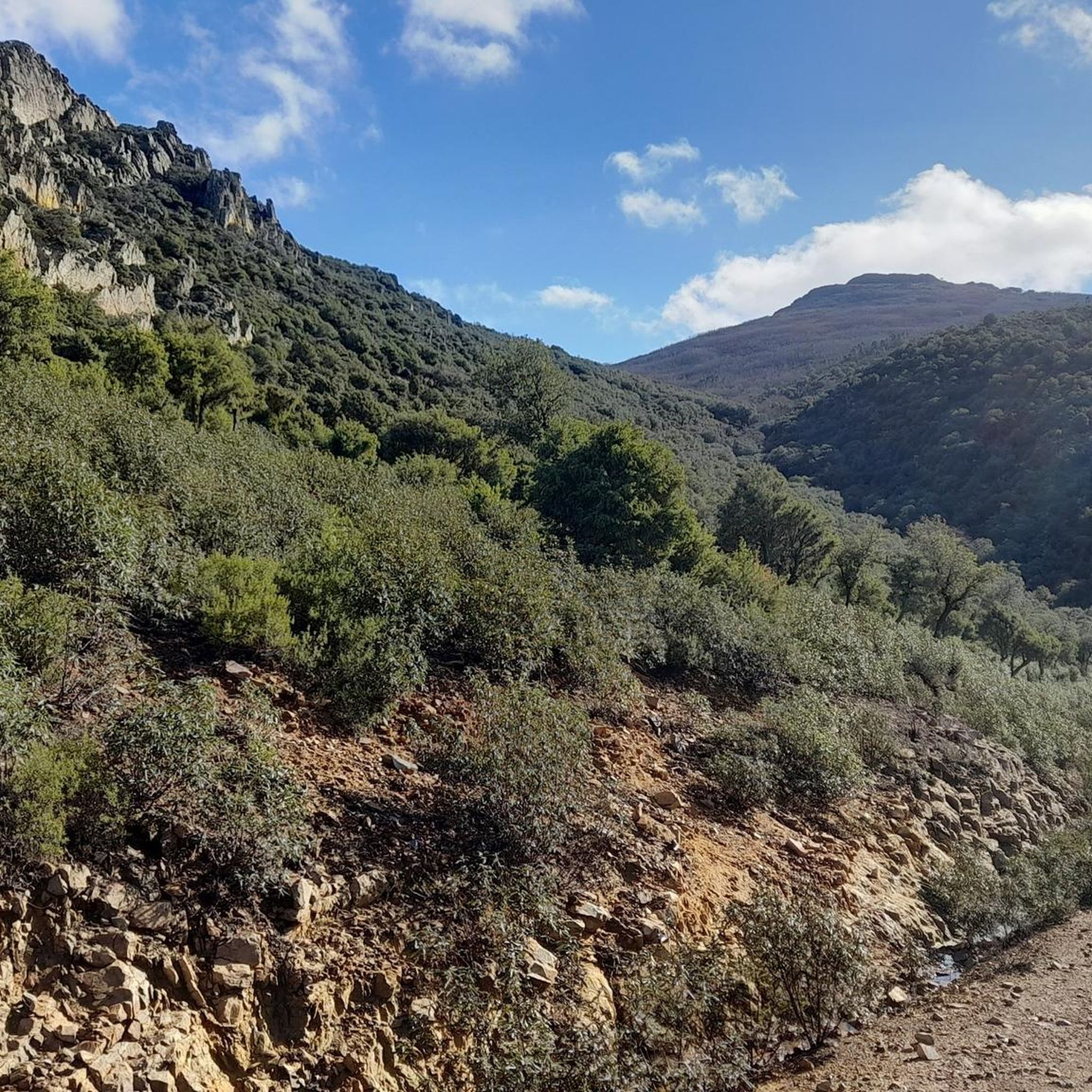
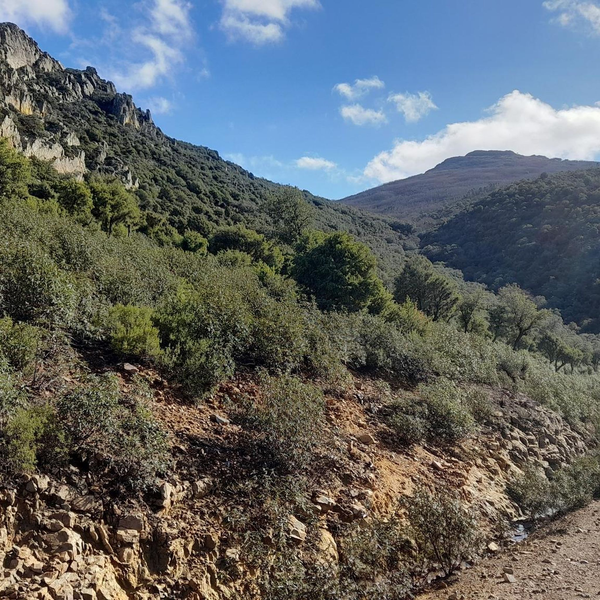
This route offers stunning scenery, including waterfalls and Mediterranean forests.
16
0
Chorro de Los Navalucillos, a place that invites you to enjoy the peace and tranquility that is only interrupted by the pleasant sound of the water falling from the waterfall.
17
0
The Senda del Boquerón de Estena is a fascinating route in the Cabañeros National Park, near Navas de Estena, in the province of Toledo. This route follows the banks of the Estena River and offers a landscape of great beauty. You will see a variety of vegetation, from holm oaks and cork oaks to ash and willow trees. In addition, you will be able to observe northern trees such as yew and birch. The trail is simple and has a gradient of only 20 meters, making it accessible to most hikers.
8
0
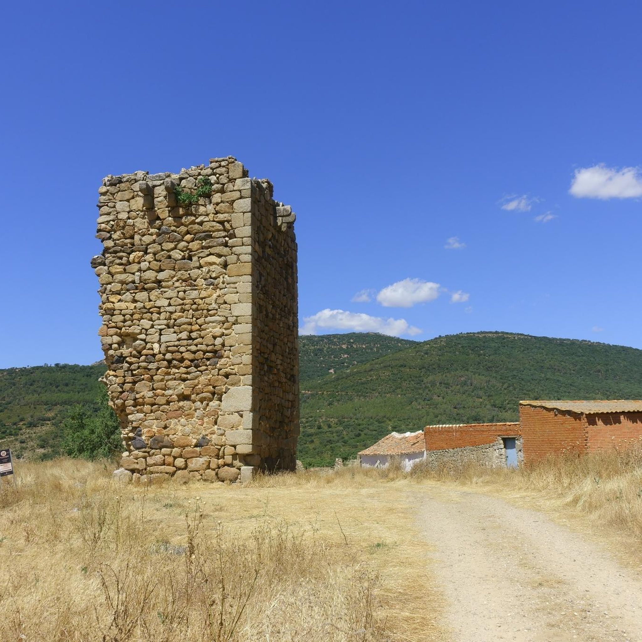
Torres del Estena is a fascinating place in the Cabañeros National Park, located near Navas de Estena in the province of Toledo. These geological formations consist of three rocks aligned with each other. Their peculiarity and beauty make them one of the icons of the Boquerón de Estena trail. Under the tower on the right, there is a cave or small rock shelter that, until 1932, housed a hermitage known as El Tío Cestero.
7
0

Fantastic rock towers that stand as gatekeepers made of quartzite at the side of the path.
2
0
Located next to the exit of the jet route which is about 9 km round trip. This one is smaller, although less attractive.
32
1
Frequently Asked Questions
How many running routes are available around Hontanar?
Hontanar offers a selection of 6 dedicated running routes, catering to various preferences and fitness levels. These trails provide diverse experiences within the Montes de Toledo region and Cabañeros National Park.
Are there any easy jogging routes suitable for beginners or a relaxed run?
Yes, Hontanar has several easy options. The Boquerón del Estena Trail is an easy 4.3 km (2.7 miles) path offering panoramic views within Cabañeros National Park. Another gentle option is the Ruta de la Encina — Parque Nacional de Cabañeros — round trip, a 2.1 km (1.3 miles) trail also within the National Park.
Can I find circular running routes in the Hontanar area?
Yes, several routes in the area are designed as loops. For example, the Ruta de la Encina — Parque Nacional de Cabañeros — round trip is a short, circular trail. For a longer, more challenging loop, consider the Pico Rocigalgo – Chorrera Chica Waterfall loop from Parque Nacional de Cabañeros.
What kind of natural landmarks or viewpoints can I expect to see on the running trails?
The running routes around Hontanar offer stunning natural scenery. You can encounter impressive mountain ranges, deep valleys, and a rich hydrological network with streams like the Pasadero and Cedena. Notable highlights include the Chorro de Los Navalucillos Waterfall and the Chorrera Chica Waterfall. The Pico Rocigalgo, the highest mountain in the Montes de Toledo, also offers impressive views.
Are there any family-friendly running trails in Hontanar?
For families looking for an enjoyable run, the Ruta de la Encina — Parque Nacional de Cabañeros — round trip is a great choice. It's a relatively short and easy 2.1 km (1.3 miles) trail, perfect for a leisurely outing with children.
What is the best time of year for jogging in Hontanar?
Hontanar's diverse landscapes are enjoyable year-round, but spring and autumn generally offer the most pleasant temperatures for jogging. The natural fountains and springs, such as El Palancar and El Caño, provide year-round water sources, enhancing the experience during warmer months. Winter can also be beautiful, but trails might be more challenging due to weather conditions.
Are dogs allowed on the running trails in Cabañeros National Park near Hontanar?
Cabañeros National Park has specific regulations regarding dogs to protect its diverse flora and fauna. While some areas might permit dogs on a leash, it's crucial to check the official Cabañeros National Park guidelines for the most current information on dog policies and permitted trails before planning your run with a pet.
Where can I park my car when accessing the running routes in Hontanar?
Parking availability varies by trailhead. For routes within Cabañeros National Park, designated parking areas are usually provided near visitor centers or specific trail access points. For trails closer to Hontanar village, you may find parking within the village itself. It's advisable to check specific route details or local signage upon arrival.
Are there any cafes or places to eat near the running trails in Hontanar?
Hontanar village, being a small community, offers some local establishments where you can find refreshments or a meal. After your run, you can explore the village for cafes or restaurants to refuel and relax.
What makes jogging in Hontanar unique compared to other regions?
Jogging in Hontanar offers a unique blend of diverse landscapes within the Montes de Toledo and Cabañeros National Park. Runners can experience deep valleys, impressive mountain ranges, and a rich hydrological network with streams and natural springs. The presence of Mediterranean forests and varied flora and fauna provides an immersive natural experience, distinct from many other running destinations.
What is the most challenging running route in Hontanar?
For those seeking a significant challenge, the Chorro de los Navalucillos Trail is a difficult 8.2 km (5.1 miles) route featuring significant elevation changes. Another demanding option is the Pico Rocigalgo – Chorrera Chica Waterfall loop from Parque Nacional de Cabañeros, which covers nearly 18 km with substantial elevation gain.
Most popular attractions around Hontanar

Get inspired with the komoot mobile app


Explore more
Browse the best Running Trails & Routes in other regions.
