The best road cycling routes around Tröskens rikkärr
4.0
(2)
64
riders
1
ride
Road cycling routes around Tröskens rikkärr navigate a landscape characterized by natural wetlands, water bodies, and forests. The area features diverse ecosystems, including species-rich fens, old-growth spruce forests, and lush riverbanks. While the immediate nature reserve has limited dedicated cycling paths, the surrounding region offers roads suitable for road cycling, providing views of these natural features. The terrain generally includes gentle gradients with some longer routes featuring moderate elevation gains.
Best road cycling routes around Tröskens rikkärr
- The most popular…
Last updated: May 16, 2026
4.0
(1)
11
riders
Easy road ride. Great for any fitness level. Mostly well-paved surfaces and easy to ride.
20
riders
84.9km
03:30
260m
260m
Moderate road ride. Good fitness required. Some segments of this route may be unpaved and difficult to ride.

Sign up for free
3
riders
66.0km
02:35
210m
210m
Moderate road ride. Good fitness required. Mostly well-paved surfaces and easy to ride.
4.0
(1)
13
riders
Moderate road ride. Great for any fitness level. Some segments of this route may be unpaved and difficult to ride.
18
riders
Moderate road ride. Good fitness required. Some segments of this route may be unpaved and difficult to ride.
Our route recommendations are based on thousands of hikes, rides, and runs completed by other people on komoot.
Start today with a free account
Your next adventure awaits.
Login or Signup

Tips from the Community

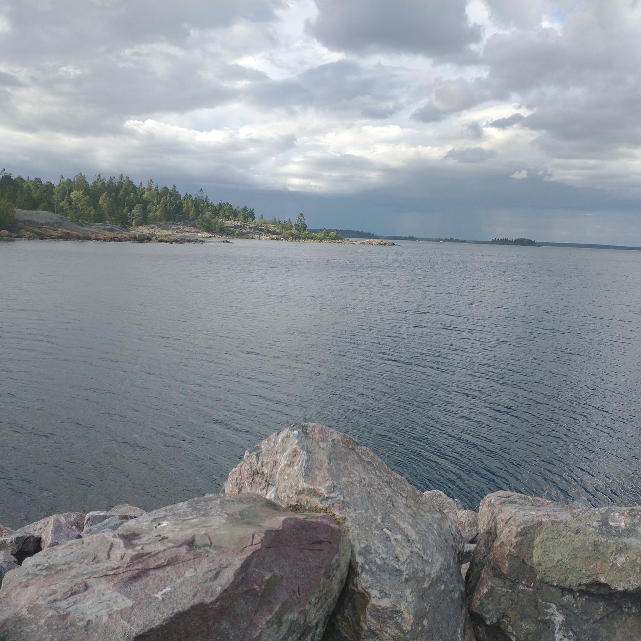
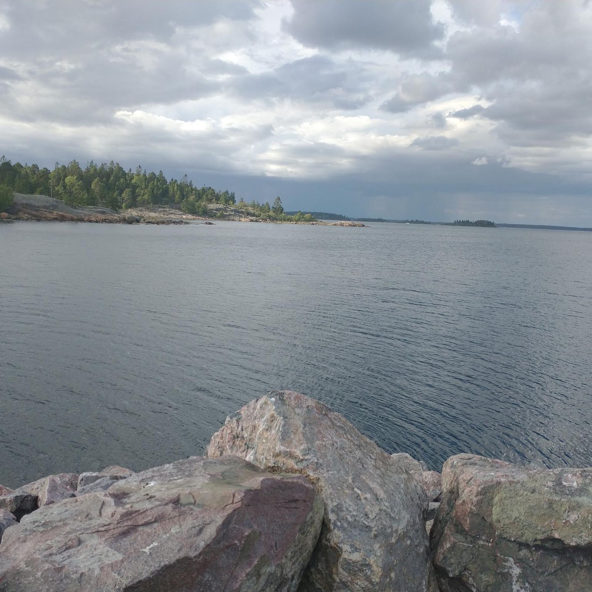
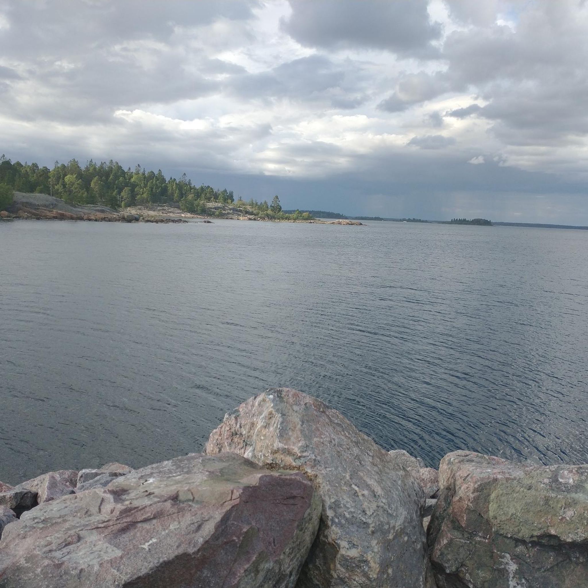
Böna Café has nothing to do with the Sjöfartsverket. But it's a lovely place.
0
0

The "Hälsans Stig" in Gävle offers a pleasant loop that takes you through some of the city's most scenic spots, including Stadsträdgården, Boulognerskogen, Regementsparken, and Gävle’s city center. The trail is not bound by a specific start or endpoint, and can be walked in either direction. Clearly marked with signs every kilometer, it is both easy to find and easy to walk, making it accessible for everyone. This route is ideal for walking or running and serves as a great way to explore the natural beauty and urban charm of Gävle. With its flat and manageable terrain, it provides a peaceful escape, whether for fitness or leisure.
1
1
The map provides a good overview of the surrounding area. There are various circular hikes here.
1
0
Discover the picturesque summer houses in Gävle – perfect for experiencing nature up close! These charming wooden houses are idyllically situated by the water and exude a very special Scandinavian flair with their traditional architecture and bright colors.
1
0


Beautiful waterfall of the river Dalälven
0
0

A small white and very inconspicuous chapel that nevertheless looks very inviting
0
0
Frequently Asked Questions
What kind of terrain can I expect on road cycling routes around Tröskens rikkärr?
The road cycling routes in the vicinity of Tröskens rikkärr generally feature gentle gradients. The landscape is characterized by natural wetlands, water bodies, and forests, offering scenic views as you cycle. While the immediate nature reserve has limited dedicated cycling paths, the surrounding roads provide a mix of flat sections and some routes with moderate elevation gains.
Are there routes suitable for beginners or those looking for an easy ride?
Yes, there are options for less experienced cyclists. For instance, the Railway Embankment Path – Hemlingby Outdoor Area Map loop from Bomhus kyrka is an easy 23.3 km trail with a low elevation gain of 75 meters, making it a great choice for a relaxed ride.
What are some longer or more challenging road cycling routes in the area?
For those seeking a longer ride, the Railway Embankment Path – Älvkarleby Waterfall loop from Älvkarleby is a moderate 80.4 km path with 236 meters of elevation gain. Another moderate option is the Älvkarleby Waterfall loop from Älvkarleby, covering 66.0 km with 213 meters of elevation gain.
What natural features or landmarks can I see along the road cycling routes?
While cycling the roads around Tröskens rikkärr, you'll encounter diverse ecosystems, including species-rich fens, old-growth spruce forests, and lush riverbanks. The region is known for its rich flora and birdlife. Some routes, like the Railway Embankment Path – Älvkarleby Waterfall loop from Älvkarleby, pass by notable features such as the Älvkarleby Waterfall.
Are there any circular road cycling routes available?
Yes, many of the road cycling routes around Tröskens rikkärr are designed as loops. Examples include the Railway Embankment Path – Hemlingby Outdoor Area Map loop from Bomhus kyrka and the Älvkarleby Waterfall loop from Älvkarleby, allowing you to start and end your ride in the same location.
What is the best time of year for road biking around Tröskens rikkärr?
The best time for road biking in the Tröskens rikkärr area is typically during the warmer months, from late spring through early autumn. This period offers pleasant temperatures and drier conditions, allowing you to fully enjoy the natural landscapes and diverse ecosystems without the challenges of winter weather.
Is there parking available for cyclists near the routes?
Yes, parking is generally available in the vicinity. For example, to access the Tröskens rikkärr nature reserve itself, you can turn right in Grinduga village and then left after the cultivated fields, where parking is available at a road barrier. Routes originating from towns like Gävle or Älvkarleby will also have local parking options.
Can I reach the road cycling routes using public transport?
Tröskens rikkärr is located about 10 kilometers southeast of Gävle and 1 kilometer south of Furuvik. Public transport options to Gävle are available, and from there, you may find local buses or cycle paths leading closer to the starting points of various routes in the surrounding area.
What do other road cyclists enjoy the most about road cycling in Tröskens rikkärr?
The road cycling experience around Tröskens rikkärr is highly rated by the komoot community, with an average score of 4.0 stars from 2 reviews. Cyclists often appreciate the varied terrain that takes them through wetlands, forests, and along riverbanks, offering a peaceful and scenic ride away from heavy traffic.
Are there any cafes or places to stop for refreshments along the road cycling routes?
While the immediate nature reserve is largely unexploited, routes that venture into or start from nearby towns like Gävle or Älvkarleby will offer opportunities for cafes, restaurants, and other amenities where you can stop for refreshments.
Are the road cycling routes around Tröskens rikkärr suitable for families?
Some routes are more suitable for families, especially those looking for an easier ride. The Railway Embankment Path – Hemlingby Outdoor Area Map loop from Bomhus kyrka is an easy 23.3 km route with minimal elevation, which could be a good option for families with some cycling experience.
What is the total number of road cycling routes available in this guide?
This guide features 5 distinct road cycling routes around Tröskens rikkärr, offering a range of distances and difficulties to explore the region.
Most popular routes around Tröskens rikkärr

Get inspired with the komoot mobile app


Explore more
Browse the best Road cycling routes in other regions.
