The best road cycling routes around Villatoya
5.0
(3)
141
riders
8
rides
Road cycling around Villatoya offers diverse landscapes, situated between the plains of Albacete and the province of Valencia. The region is characterized by mountains and valleys, with the Cabriel River forming a central feature. Cyclists can expect varied terrain, from valley roads alongside the river to climbs in the surrounding hills, all within a Mediterranean forest ecosystem.
Best road cycling routes around Villatoya
- The most popular road cycling route is Villargordo del Cabriel – Venta del Moro loop from Cueva…
Last updated: June 29, 2026
23
riders
122km
05:48
1,350m
1,350m
Hard road ride. Very good fitness required. Some segments of this route may be unpaved and difficult to ride.
29
riders
143km
06:55
1,300m
1,300m
Hard road ride. Very good fitness required. Mostly well-paved surfaces and easy to ride.

Sign up for free
17
riders
133km
07:15
1,830m
1,830m
Hard road ride. Very good fitness required. Some segments of this route may be unpaved and difficult to ride.
15
riders
58.4km
02:42
700m
700m
Moderate road ride. Good fitness required. Mostly well-paved surfaces and easy to ride.
15
riders
76.3km
03:47
980m
980m
Hard road ride. Very good fitness required. Mostly well-paved surfaces and easy to ride.
Get access to more routes and recommendations from other explorers.
Sign up for free
Already have an account?
Our route recommendations are based on thousands of hikes, rides, and runs completed by other people on komoot.
Start today with a free account
Your next adventure awaits.
Login or Signup
Popular around Villatoya
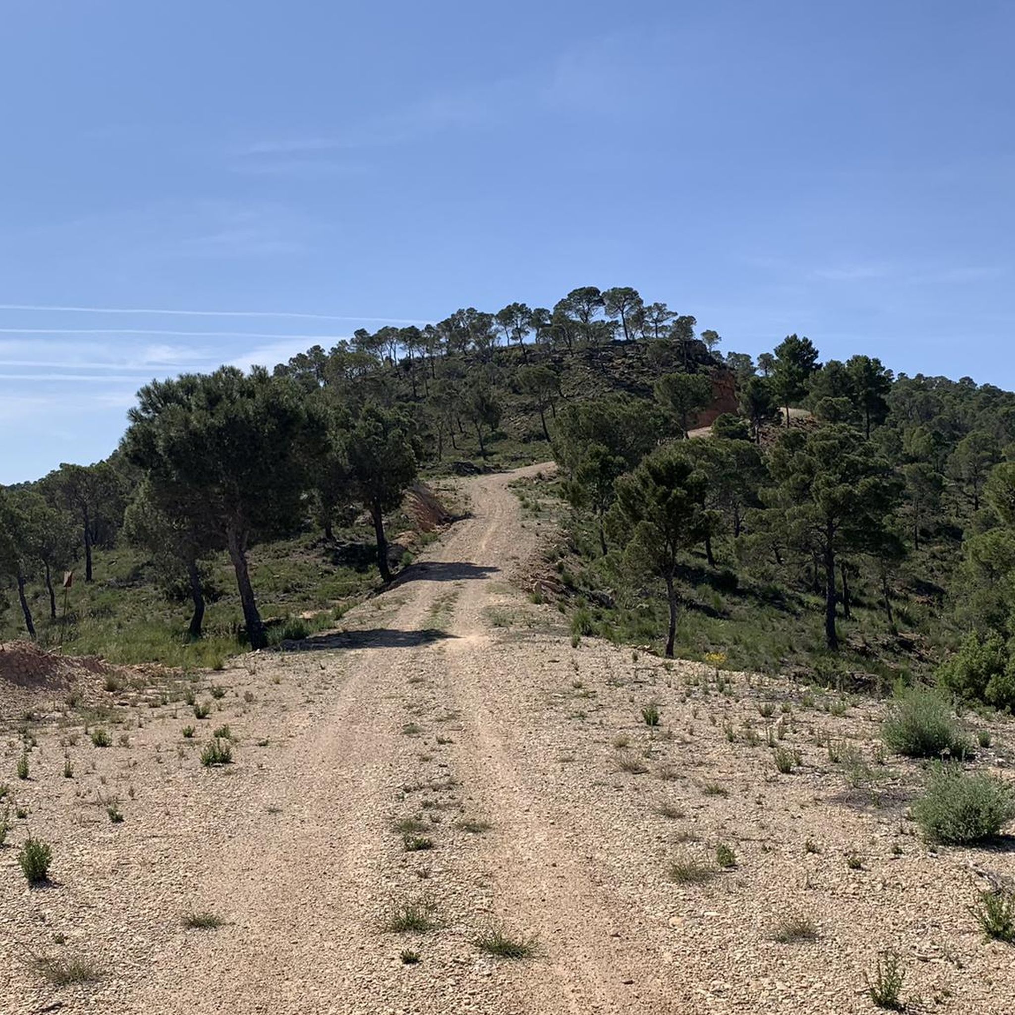
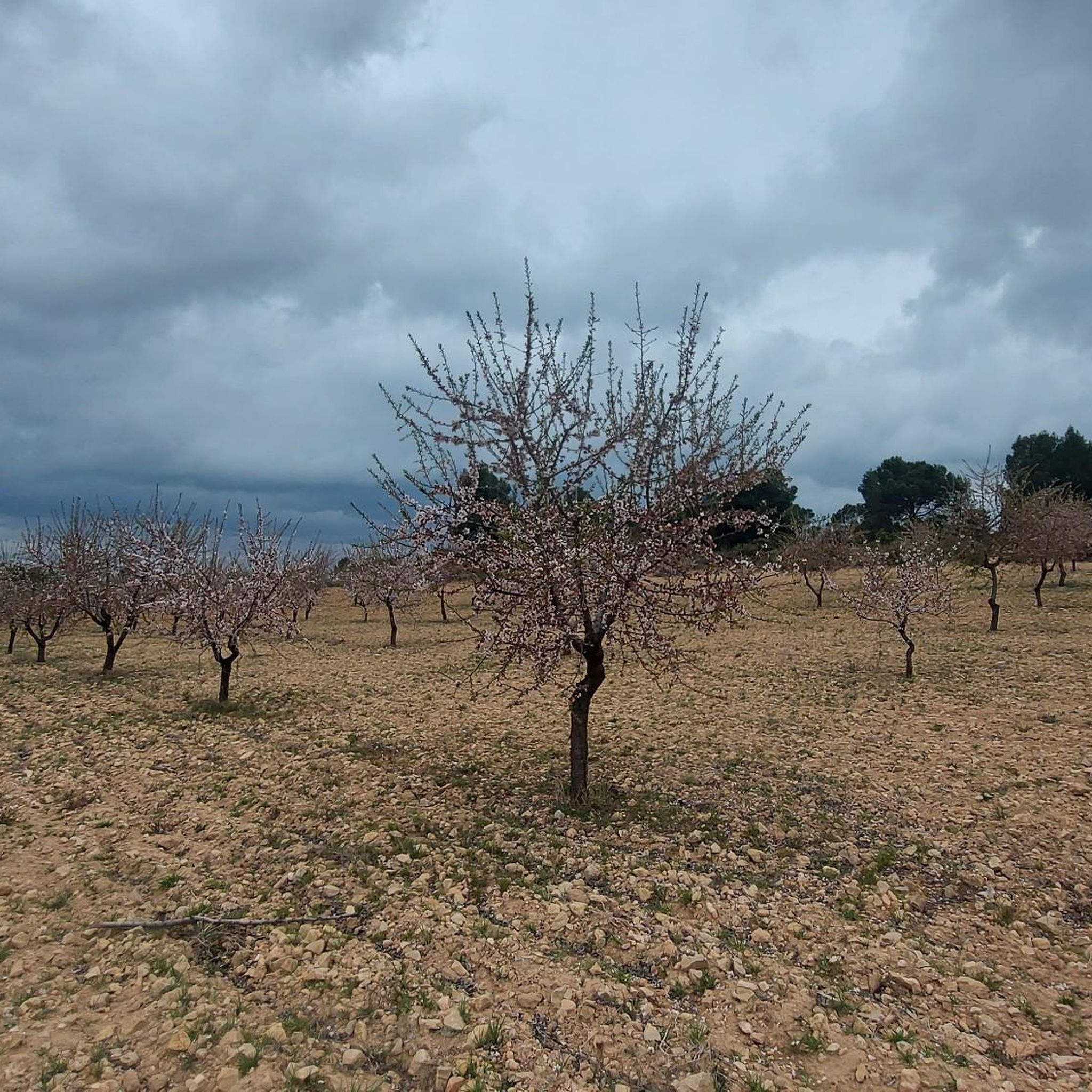
Tips from the Community

The Contreras dam (Embalse de Contreras) is a 129-meter-high arch dam built in 1972. Located on the border of the provinces of Cuenca (Castilla-La Mancha) and Valencia, the dam spans the Cabriel and Guadazaón rivers. The reservoir serves mainly for water supply, flood protection, and irrigation.
10
1
7 bow bridge, so beautiful
11
0
Villargordo del Cabriel is a municipality in the Requena-Utiel region, in the province of Valencia. The town is located on the banks of the Cabriel River and is on the border between Castilla-La Mancha and the Valencia region. One of the biggest tourist attractions is the beautiful nature, which is remarkably well preserved.
14
0

It is an old 18th-century wooden irrigation system next to the Cabriel River, which after several restorations continues to function to raise water to the orchards of the "Rinconada de Muñoz", and has a small viewpoint from where you can contemplate this unique piece of hydraulic heritage in the area.
0
0

Viewpoint next to the old N-III highway After passing the engineer's house, a turnoff leads to the viewpoint located above the old N-III highway. Sweeping views of the reservoir from a high, accessible point.
4
0
Hiking: Popular routes, such as the "Engineer's House" trail, offer viewpoints overlooking the reservoir and the Cabriel River gorges. Guided tours: Occasionally, the Hydrographic Confederation and the Villargordo Town Council organize tours and talks in the village of Contreras. Historic roads: The abandoned section of the old N-III highway and the Contreras Hills attract engineering enthusiasts, with their original 20th-century asphalt and signage.
8
0
Contreras Dam (Contreras Reservoir), located on the border between Cuenca and Valencia provinces. It lies between Villargordo del Cabriel (Valencia) and the Cuenca municipalities of La Pesquera, Mira, Enguídanos, and Minglanilla, spanning the Cabriel and Guadazaón rivers. Below the dam is the historic Contreras Bridge, built between 1845 and 1851 by Lucio del Valle, part of the old zigzag mountain pass.
9
0
Frequently Asked Questions
How many road cycling routes are available around Villatoya?
There are over 8 road cycling routes around Villatoya, offering a variety of distances and difficulty levels. These routes are highly rated by the komoot community.
What kind of terrain can I expect on road cycling routes in Villatoya?
Road cycling in Villatoya offers diverse terrain, from valley roads alongside the scenic Cabriel River to challenging climbs in the surrounding mountains and hills. The region is characterized by a Mediterranean forest ecosystem, providing varied and engaging landscapes.
What natural features or landmarks can I see along the road cycling routes?
Many routes feature the stunning Cabriel River, known for its transparent backwaters and wild natural environment. You might also encounter trails like La Dehesilla Trail or the Track to the hill, offering glimpses of the region's rich biodiversity and Mediterranean flora.
Are there routes suitable for beginners or less experienced cyclists?
While many routes in Villatoya are considered difficult, there are also moderate options available. For example, the Venta del Moro loop from Los Isidros is a moderate route, offering a good balance for those looking for a less strenuous ride.
What is the best time of year for road cycling in Villatoya?
Villatoya benefits from a protected microclimate with mild temperatures, making it suitable for year-round outdoor activities. However, spring and autumn generally offer the most comfortable conditions for road cycling, avoiding the peak heat of summer while still enjoying pleasant weather.
Are there any circular road cycling routes in the Villatoya region?
Yes, many of the road cycling routes around Villatoya are designed as loops, allowing you to start and finish in the same location. Examples include the challenging Villargordo del Cabriel – Venta del Moro loop from Cueva de los Ángeles and the scenic Brilliant descent to Casas del Rio – Cabriel River loop from Requena.
What do other cyclists say about road cycling in Villatoya?
The road cycling routes in Villatoya are highly rated by the komoot community, with an average score of 5.0 stars from more than 3 reviews. Cyclists often praise the varied terrain, the stunning views, and the challenging climbs that make for a rewarding experience.
Is parking available for cyclists in Villatoya?
Given the region's focus on rural tourism and outdoor activities, parking is generally available in and around Villatoya, particularly near trailheads or village centers. It's advisable to check specific starting points for designated parking areas.
Are there any cafes or accommodation options for cyclists in Villatoya?
Villatoya and the surrounding area are geared towards rural tourism, meaning you can find various accommodation options, including rural houses and thermal spas like Balneario de los Baños de la Concepción. There are also local cafes and restaurants where cyclists can refuel and relax after a ride.
Are cycling permits required in the Villatoya area?
Generally, no specific cycling permits are required for road cycling on public roads and established routes in the Villatoya area. However, always respect local regulations and private property signs.
Are there family-friendly road cycling routes in Villatoya?
While many routes in Villatoya feature significant elevation gain and are rated as difficult, there are moderate options that might be suitable for families with older, more experienced children. For easier, flatter rides, it's recommended to look for routes specifically designated as such or explore the flatter sections along the Cabriel River valley.
Are there any wild swimming spots near cycling routes in Villatoya?
The Cabriel River, a central feature of the region, is known for its 'blue pools' and transparent backwaters. While not explicitly designated swimming spots on cycling routes, these natural features offer opportunities for refreshing dips, especially during warmer months.
What are some longer distance road cycling routes near Villatoya?
For those seeking longer challenges, routes like the Contreras Viewpoint – Cerro del Cuchillo loop from San Antonio de Requena cover over 90 miles (145 km) with extensive views and challenging climbs. Another substantial option is the Brilliant descent to Casas del Rio – Cabriel River loop from Requena, which is over 82 miles (132 km).
Most popular routes around Villatoya
Most popular attractions around Villatoya

Get inspired with the komoot mobile app


Explore more
Browse the best Road cycling routes in other regions.
