The best road cycling routes around Campofrío
128
riders
14
rides
Road cycling routes around Campofrío are situated in a region characterized by rolling hills and gentle rises, bordering the Sierra de Aracena. This area offers a varied topography with elevations that provide engaging terrain for road cyclists. The landscape includes green spaces, unique geological formations like the Cabezos Colorados, and proximity to the distinct Río Tinto mining area. The routes navigate through a mix of open countryside and areas hinting at the nearby mountainous terrain.
Best road cycling routes around…
Last updated: July 7, 2026
20
riders
87.0km
04:31
1,540m
1,540m
Hard road ride. Very good fitness required. Some segments of this route may be unpaved and difficult to ride.
8
riders
58.5km
03:15
1,140m
1,140m
Hard road ride. Very good fitness required. Some segments of this route may be unpaved and difficult to ride.

Sign up for free
8
riders
53.5km
03:04
950m
950m
Hard road ride. Very good fitness required. Some segments of this route may be unpaved and difficult to ride.
5
riders
69.0km
03:35
1,250m
1,250m
Hard road ride. Very good fitness required. Some segments of this route may be unpaved and difficult to ride.
49
riders
101km
05:17
1,620m
1,620m
Hard road ride. Very good fitness required. Some segments of this route may be unpaved and difficult to ride.
Get access to more routes and recommendations from other explorers.
Sign up for free
Already have an account?
Our route recommendations are based on thousands of hikes, rides, and runs completed by other people on komoot.
Start today with a free account
Your next adventure awaits.
Login or Signup
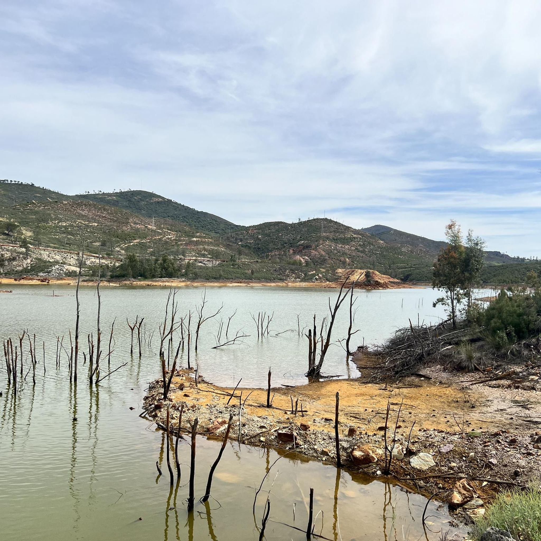
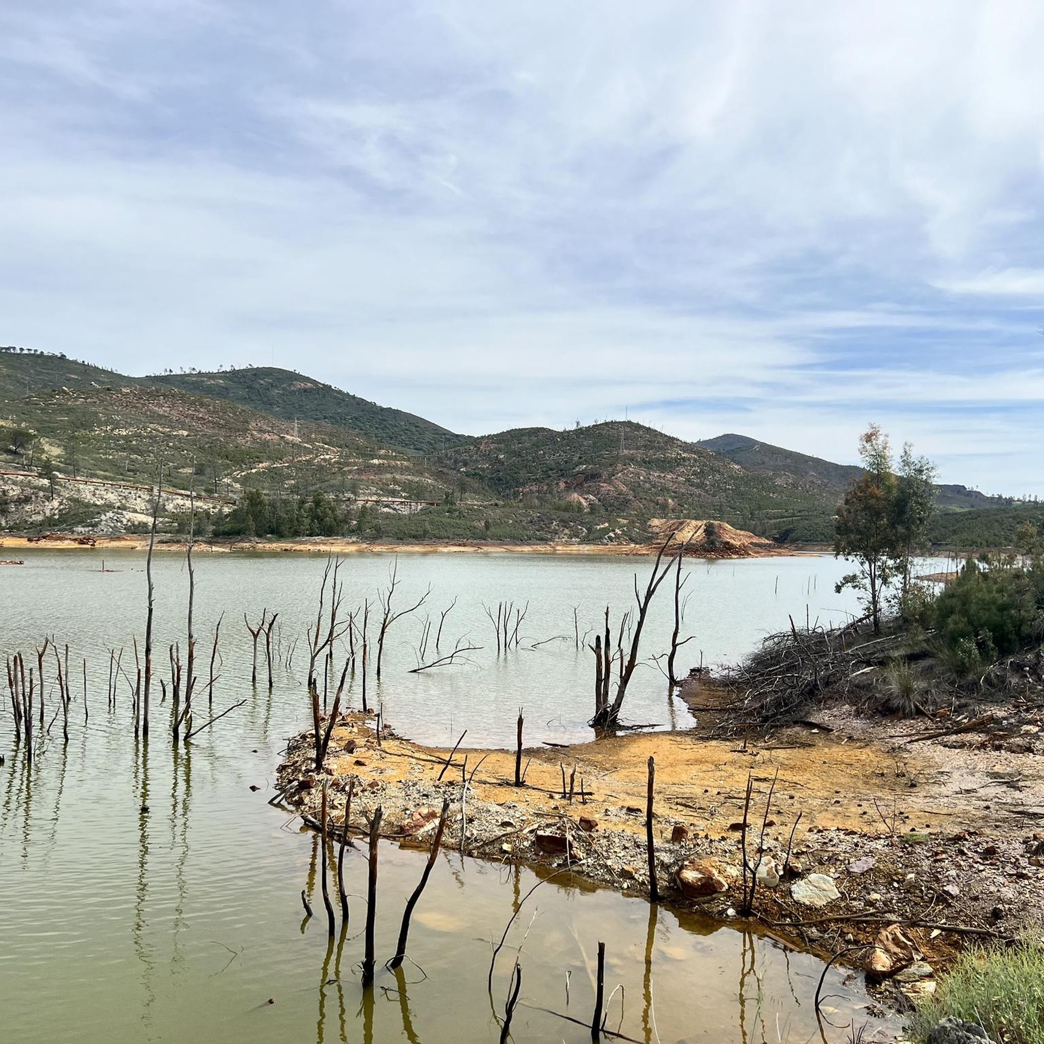

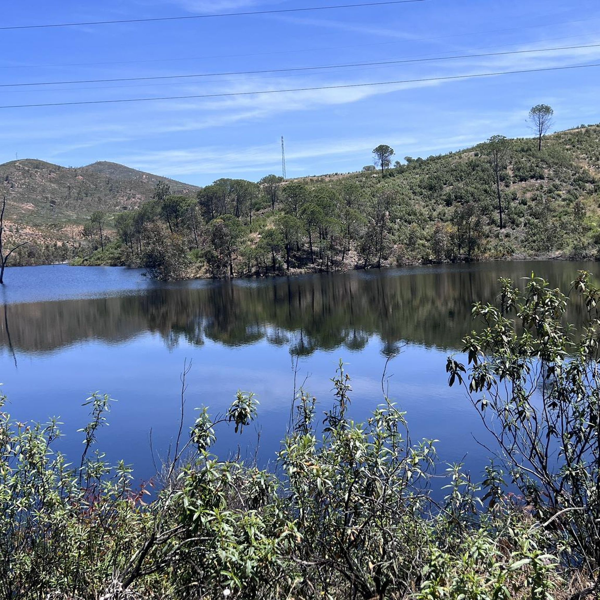
Tips from the Community


Obligatory stopping point if you take the road. There are incredible views even of the Rio Tinto mining railway.
0
0

Old station that is located a few kilometers from the town of Nerva and that was used to transport the materials extracted from the mine.
1
0
Road that passes through where there are the train tracks that brought the materials that came out of the mines to the town of Nerva. These tracks are currently still used by the tourist train that runs there, but the path allows you to see them perfectly as well as the river that is nearby.
3
0
Section of river that is crossed by the road but from where you can see the water passage before entering again towards the mountains near El Madroño.
1
0
This beautiful town is located between Alájar and Aracena, in the center of the Sierra de Aracena y Picos de Aroche Natural Park, one of the most important protected areas in the Community. Its cobbled streets, the Parish Church of San Juan Bautista, the public laundry and its crowded houses stand out.
0
0
A museum dedicated to mining activity in the area and its history. It has an important museographic collection that ranges from archaeological pieces to mining extraction machinery and railway locomotives. The Museum building is the former mining hospital of the Rio Tinto Company Limited.
1
0

The municipality known above all for its pyrite mines (exploited since ancient times by the Romans) temporarily closed after one of the biggest environmental disasters in Europe - when in 1998 the Aznalcóllar mining dam burst and caused a polluting spill in this area.
2
0
Frequently Asked Questions
What is the typical terrain like for road cycling in Campofrío?
Road cycling around Campofrío is characterized by rolling hills and gentle rises, offering a varied topography with engaging ascents and descents. The area borders the Sierra de Aracena, providing a mix of open countryside and terrain that hints at more mountainous landscapes. You'll encounter unique geological formations like the Cabezos Colorados and be in proximity to the distinct Río Tinto mining area.
How many road cycling routes are available around Campofrío?
There are 14 road cycling routes available around Campofrío on komoot. The majority, 11 routes, are rated as difficult, while 3 are considered moderate, catering primarily to experienced cyclists.
Are there any circular road cycling routes around Campofrío?
Yes, several routes around Campofrío are designed as circular loops. For example, the Nerva, Minas de Riotinto, Zalamea La Real – circular route offers a 33.2-mile journey through the mining region and surrounding hills.
What natural features can I see while road cycling near Campofrío?
The region boasts several striking natural features. You can explore the unique 'Martian-like landscape' near the Minas de Riotinto, visit the Source of the Río Tinto, or see the impressive Peña del Hierro. The area also features the Gossán Reservoir and the vibrant Cabezos Colorados.
Are there any historical landmarks to explore on a road cycling trip around Campofrío?
Absolutely. Campofrío and its surroundings are rich in history. You can visit the town's historic bullring, one of Spain's oldest, or see the distinctive Parish Church. Further afield, consider cycling towards Aracena Castle for panoramic views, or explore ancient archaeological remains like the Roman road and necropolis in Risco del Tesoro.
What is a challenging long-distance road cycling route in the area?
For a challenging long-distance ride, consider the Old Zarandas-Naya Station – Riotinto Mines loop from Zarandas-Naya. This difficult route spans approximately 60.4 miles (97.2 km) with over 1500 meters of elevation gain, offering extensive exploration of the mining region.
What is the best time of year for road cycling in Campofrío?
The best time for road cycling in Campofrío is typically during the spring (March to May) and autumn (September to November) months. During these periods, the weather is generally milder and more pleasant, avoiding the intense heat of summer and the cooler, potentially wetter conditions of winter.
Are there routes that venture into the Sierra de Aracena?
Yes, many routes around Campofrío offer glimpses into or directly enter the Sierra de Aracena. The Sierra de Aracena Loop is a prime example, providing a challenging 42.9-mile (69 km) ride with significant elevation through the natural park's landscapes.
Where can I find scenic viewpoints on road cycling routes in Campofrío?
Many of the routes through the rolling hills and near the Sierra de Aracena offer stunning viewpoints. The varied topography ensures picturesque vistas, especially on routes with higher elevation gains. Keep an eye out for elevated sections that provide expansive views of the Huelva countryside and the unique geological formations.
Are there places to eat or get coffee along the road cycling routes?
While specific cafes and restaurants directly on every route may vary, Campofrío itself offers options for refreshments. Many of the villages and towns you pass through on longer routes, such as Aracena or Nerva, will have establishments where you can stop for a meal or a coffee break.
What do other road cyclists enjoy the most about road cycling in Campofrío?
Road cyclists frequently praise the varied and engaging terrain around Campofrío, particularly the challenging climbs and descents offered by the rolling hills and proximity to the Sierra de Aracena. The unique landscapes, including the distinct mining region and natural features, also contribute to a memorable cycling experience.
Is there parking available for cyclists in Campofrío?
Yes, parking is generally available in Campofrío, particularly in and around the town center. It's advisable to check local signage for specific parking regulations and areas suitable for leaving a vehicle while you embark on your cycling route.
Most popular attractions around Campofrío

Get inspired with the komoot mobile app


Explore more
Browse the best Road cycling routes in other regions.
