The 10 Most Amazing Peaks around Argelaguer
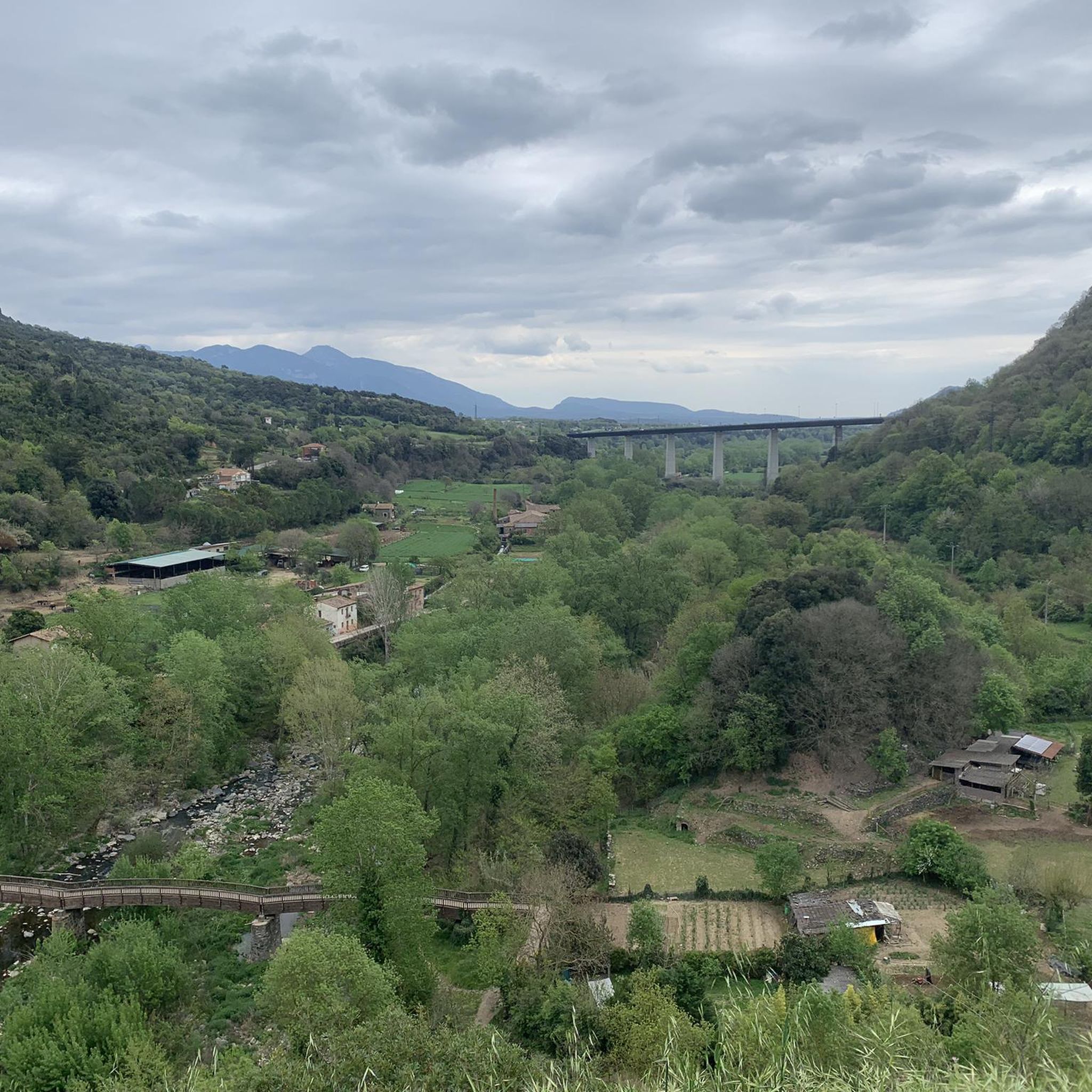
Best mountain peaks around Argelaguer are found within the scenic Garrotxa region of Catalonia, characterized by forested hills and volcanic formations. The area, situated on a plain fed by the Fluvià River, offers diverse natural elevations and attractions. These include extinct volcanoes and challenging summits, providing a range of outdoor experiences for visitors. The region is part of the Garrotxa Volcanic Zone Natural Park, known for its unique geological features.
Best mountain peaks around Argelaguer
- The most popular mountain peaks is Mare de Déu del Mont Summit, a summit that is known for being a long and challenging climb. It rewards hikers with extensive scenic views and features a restaurant at the top.
- Another must-see spot is Montsacopa Volcano, a volcano with an all-round view. Visitors can explore a circuit around its crater, which offers views of the city and other volcanic cones.
- Visitors also love Puig de Bassegoda, a summit reaching 1,373 meters high. Its characteristic pointed shape and isolated position provide excellent 360º views from the Gulf of Roses to Canigó.
- Argelaguer is known for volcanic formations, challenging summits, and forested hills. The region offers a variety of mountain peaks to see and explore, from extinct volcanoes with accessible craters to high peaks requiring strenuous climbs.
- The mountain peaks around Argelaguer are appreciated by the komoot community, with 76 upvotes and 46 photos shared by visitors.
Last updated: June 29, 2026
Mare de Déu del Mont Summit
Highlight • Summit
It’s worth adding that, once you’ve enjoyed your fill of the scenery on offer from the top, the descent should be treated with great respect and care as the roads are narrow, steep, and twisty and there may be oncoming traffic.
Tip by

Puig de Bassegoda
Highlight • Summit
Translated by Google •
Tip by

Sign up now to discover places like this
Get recommendations on the best single tracks, peaks, & plenty of other exciting outdoor places.
Sign up for free
Santa Bàrbara de Pruneres
Highlight • Religious Site
Like other hermitages in La Garrotxa, the annex has a house inhabited all year round, so it is necessary to respect the tranquility of the neighbors and watch if you go with dogs.
Translated by Google •
Tip by

Montsacopa Volcano
Highlight • Volcano
Translated by Google •
Tip by

Sanctuary of Mare de Déu del Mont and Jacint Verdaguer Statue
Highlight • Religious Site
Translated by Google •
Tip by

Sign up for free to discover even more peaks around Argelaguer.
Sign up for free
Already have an account?
Start today with a free account
Your next adventure awaits.
Login or Signup

Tips from the Community

You can drive up, but I recommend walking up from Beuda, a beautiful hike of moderate difficulty.
0
0
The bar is closed on Mondays and Tuesdays. The restaurant is closed from Monday to Thursday, Spectacular 360° views of the Pyrenees, Garrotxa, Montseny Banyoles and the Pla de l'Estany.
0
0

At 1,373 meters high, the Puig de Bassegoda is located on the border between the regions of La Garrotxa and Alt Empordà. The climb accumulates a lot of positive unevenness in a short distance. For this reason, in the last section it has staples and chains to help itself.
2
1

Spectacular views of the Garrotxa and Ripolles Pyrenees peaks. From October to April, the bar-restaurant is only open at weekends (Friday, Saturday and Sunday).
3
0

Volcà del Montsacopa is an extinct volcano that died out 100,000 years ago. Running here is not easy because it is steep uphill or downhill, but the views are worth it. The crater is full of rabbits (at least there were when I visited) in the late afternoon and there are many nice trails around it. There is a church and a tower there too. If you visit Olot it is an easy walk that you must do.
0
0

The sanctuary of the Mare de Déu del Mont is located on the peak of the Sierra del Mont, at an altitude of 1,124 metres. Next to the sanctuary we find the statue of Jacint Verdaguer and an incredible viewpoint to appreciate the landscape that surrounds the mountain, from the Empordà plain, the Alta Garrotxa to the southern slopes of the Pyrenees.
4
0

the views upon arrival pay for all the effort of the climb
3
0

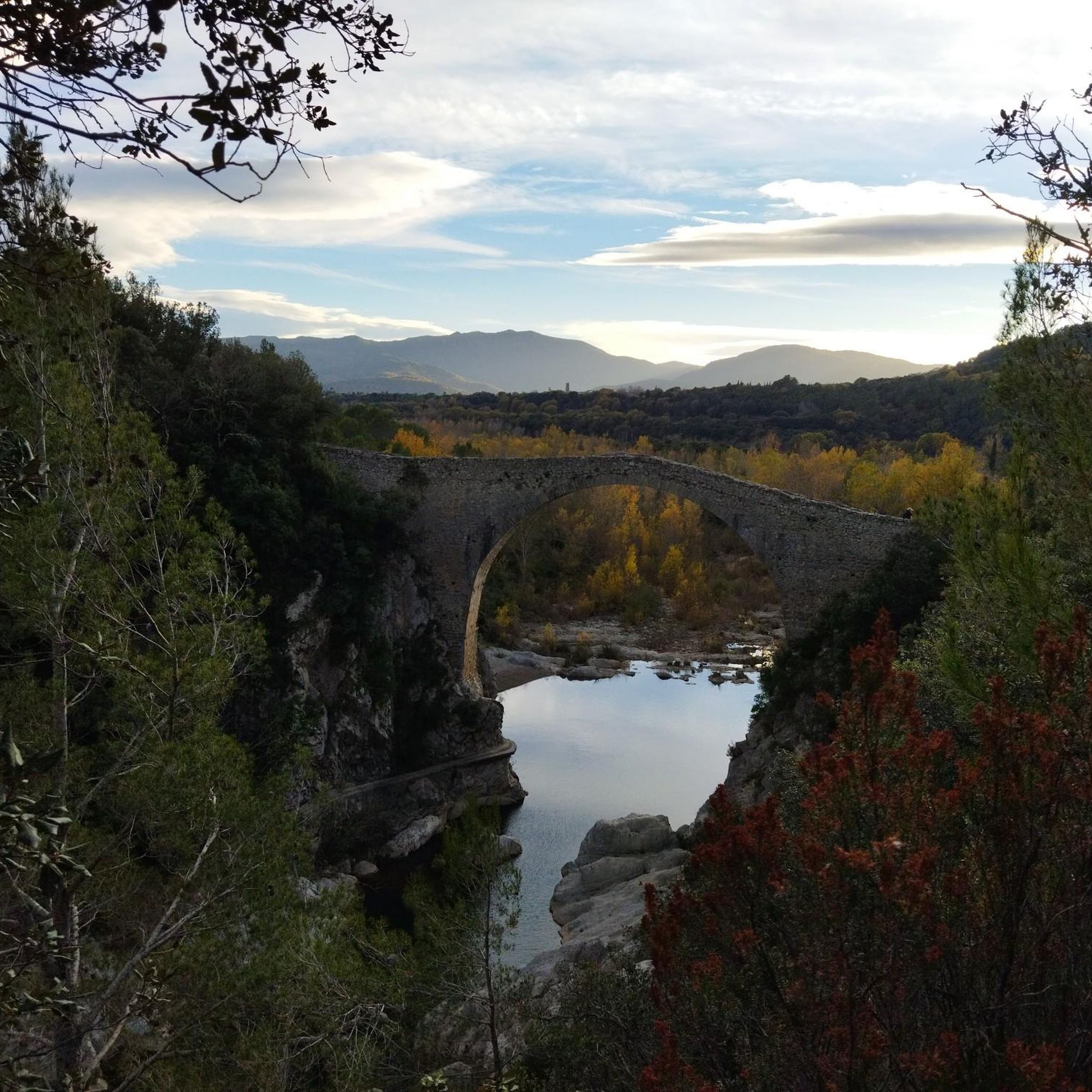
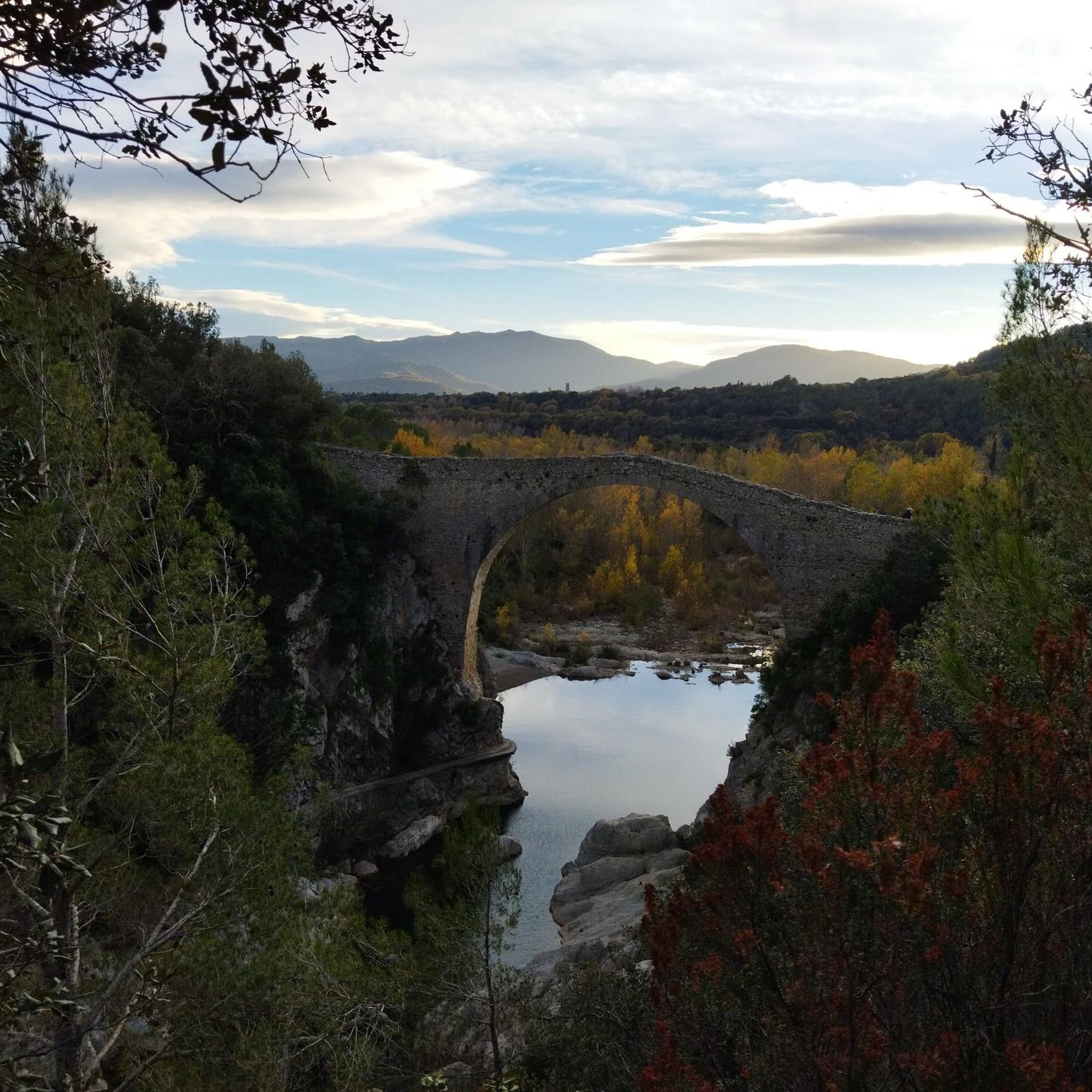
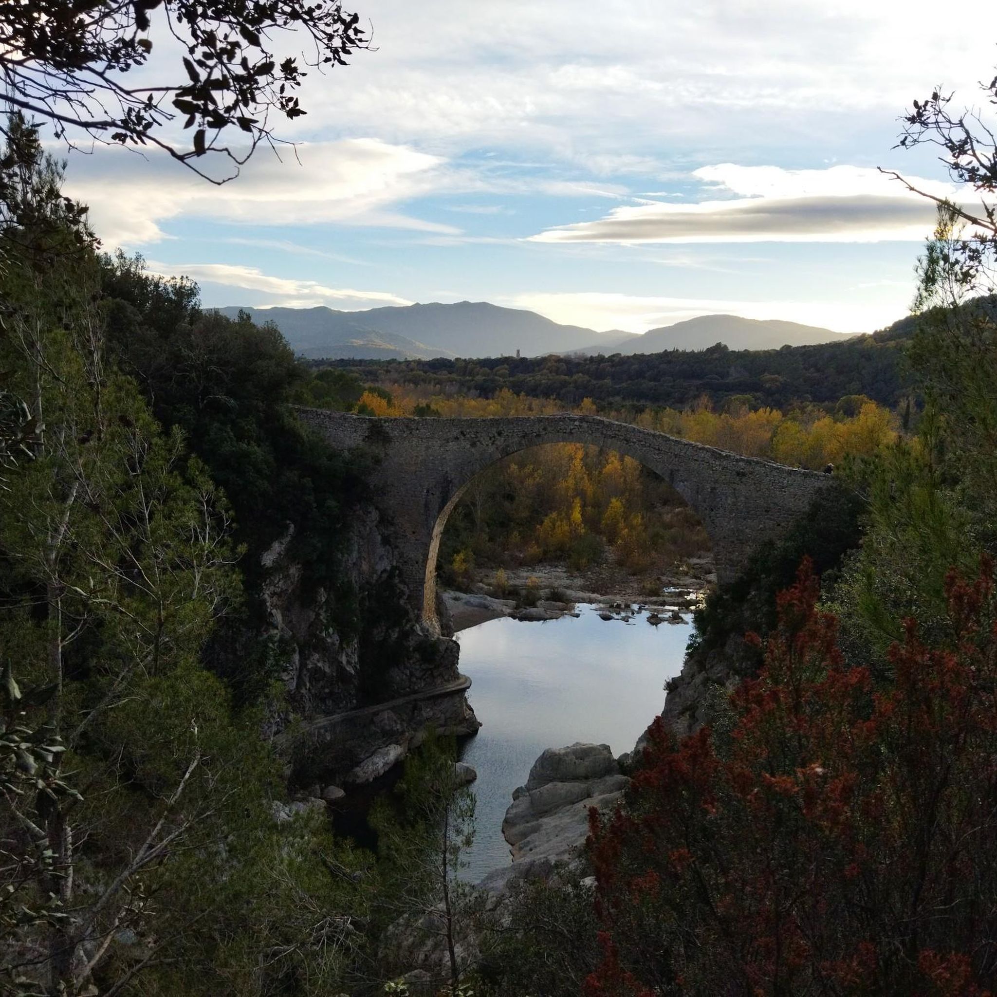
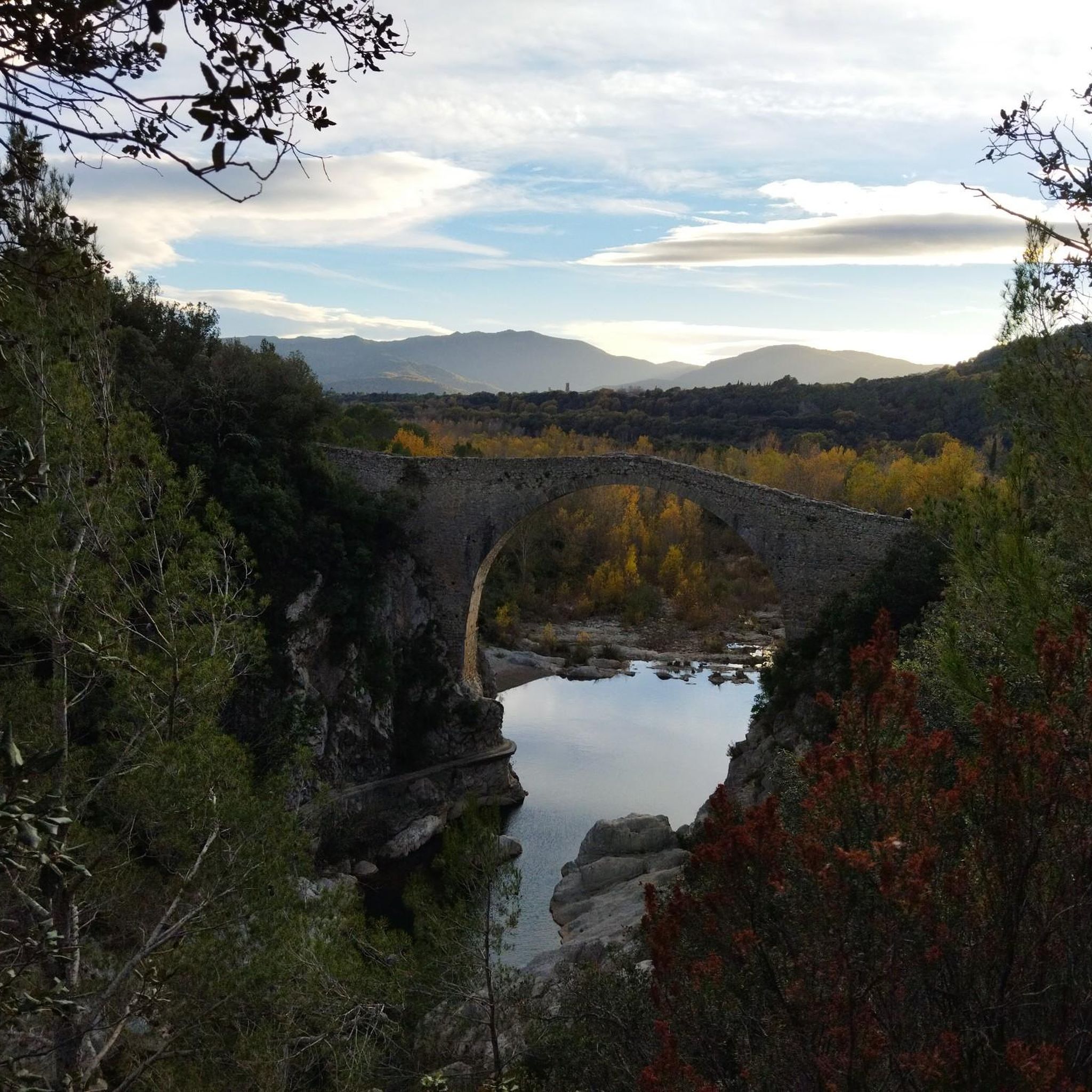
It is a building dating from the twelfth or early thirteenth century, although it probably existed before an earlier church. The word Prunarias appears in a document from the year 966 as belonging to Sant Pere de Camprodon. The building is mentioned again in 1017. It seems that from shortly after 966 it belonged to the priory of Santa Maria del Coll de Panissars, a situation that must have been maintained until the beginning of the 17th century. In 1617 the church was joined to that of Sant Llorenç d'Oix. In 1661 there were 3 altars: the one of Santa Bàrbara, the one of Santa Caterina and the one of Sant Bartomeu. The church was damaged during the Civil War of 1936-39. The whole complex was completely restored between 1972-1979 by the Friends of Alta Garrotxa. Inside, different artistic pieces were kept, such as a tombstone representing the burial of a lady from the castle of Bestracà, which was damaged during the riots of 1936. Some of the fragments were deposited in the Museum of Olot by Dr. Joaquim Danès. Until the end of the 19th century, a Romanesque carving was venerated there, today deposited in the Museu d'Art de Catalunya, from the Plandiura collection. The fragments of an altarpiece representing the life of the saint are kept in the Parish Museum of Olot. From 1972 to 1981, restoration work was carried out, which meant that the building built on the nave during the 17th and 18th centuries was abandoned, as well as the one that turned the old belfry into a tower, rebuilt after a lightning strike. destroyed it in September 1978.
0
1
Frequently Asked Questions
What are some of the most prominent mountain peaks to explore around Argelaguer?
The region around Argelaguer offers a variety of natural elevations. Notable peaks include Mare de Déu del Mont Summit, known for its challenging climb and extensive views, and Puig de Bassegoda, a distinctive pointed summit offering excellent 360º views. You can also explore Montsacopa Volcano, an extinct volcano with an all-round view of the city and other volcanic cones.
Are there any volcanoes I can visit near Argelaguer?
Yes, the Garrotxa region, where Argelaguer is located, is famous for its volcanic landscape. You can visit the Montsacopa Volcano, which offers a circuit around its crater and views of the surrounding area. Other significant volcanoes in the broader Garrotxa Volcanic Zone Natural Park include Santa Margarida Volcano, unique for its Romanesque hermitage within its crater, and Croscat Volcano, known for its impressive scoria slopes.
What kind of views can I expect from the mountain peaks in this region?
The peaks around Argelaguer offer diverse and extensive views. From Mare de Déu del Mont Summit, you can enjoy panoramic vistas over the Garrotxa, the Pyrenees, and even the Mediterranean Sea. Puig de Bassegoda provides excellent 360º views stretching from the Gulf of Roses to Canigó. Even from the Montsacopa Volcano, you get a good overview of the city and other volcanic cones.
Are there any historical or cultural sites located on these peaks?
Yes, several peaks feature historical and cultural landmarks. The Mare de Déu del Mont Summit hosts a shrine and a statue of Jacint Verdaguer. Within the crater of the Santa Margarida Volcano, you'll find a Romanesque hermitage. Additionally, Santa Bàrbara de Pruneres is a well-restored Romanesque hermitage located on a peak with great views of the Alta Garrotxa.
What is the difficulty level for hiking these mountain peaks?
The difficulty varies significantly. Mare de Déu del Mont Summit is known for being a long and challenging climb with steep, winding roads on the descent. Puig de Bassegoda also involves a challenging ascent with significant elevation gain over a short distance, requiring staples and chains in its final section. Other options like Montsacopa Volcano and Santa Bàrbara de Pruneres are generally considered intermediate.
Are there family-friendly hiking options among the peaks near Argelaguer?
While some peaks offer challenging climbs, the broader Garrotxa region, with its forested hills and volcanic formations, provides numerous local hiking opportunities suitable for various fitness levels. The Garrotxa Volcanic Zone Natural Park, encompassing areas like Santa Margarida and Croscat volcanoes, features well-marked routes that can be enjoyed by families, allowing exploration of its unique geological formations and lush beech forests.
What outdoor activities can I do near these mountain peaks?
Beyond hiking, the area around Argelaguer is excellent for cycling. You can find various routes for mountain biking, road cycling, and touring. For example, there are challenging MTB routes like the Sant Andreu de Guitarriu – Llierca Bridge loop, and scenic road cycling routes such as the Besalú, Beuda, and Pla de Martís Loop. Explore more options on the MTB Trails around Argelaguer, Road Cycling Routes around Argelaguer, and Cycling around Argelaguer guide pages.
Is there a good time of year to visit the mountain peaks around Argelaguer?
The Garrotxa Volcanic Zone Natural Park, with its lush beech forests, is particularly beautiful in spring and autumn when the foliage is vibrant. These seasons also offer milder temperatures, making hiking and cycling more comfortable than in the heat of summer. While specific peak conditions vary, generally, spring and autumn provide the most pleasant weather for outdoor activities in the region.
Are there any facilities like cafes or restaurants at the summits?
Yes, at the top of Mare de Déu del Mont Summit, there is a restaurant/café with a wonderful outdoor terrace offering spectacular views. It's a great spot to refuel and enjoy the scenery after the challenging climb. It's advisable to check their opening times, especially outside of peak season.
Can I bring my dog on the trails around the mountain peaks?
Many trails in the Garrotxa region are dog-friendly, allowing you to explore the natural beauty with your canine companion. However, when visiting specific sites like the Santa Bàrbara de Pruneres hermitage, which has residents, it's important to respect the tranquility of the neighbors and keep dogs under control.
What geological features make the Argelaguer region unique?
The region is characterized by its distinctive volcanic landscape, part of the Garrotxa Volcanic Zone Natural Park. You can observe extinct volcanoes like Santa Margarida, which has a hermitage inside its crater, and Croscat, known for its impressive scoria slopes formed by past eruptions. These features offer a unique insight into volcanic processes and contribute to the area's natural beauty.
What are some less crowded mountain trails or viewpoints near Argelaguer?
While popular spots like Mare de Déu del Mont and the main volcanic sites can attract visitors, the broader area of forested hills surrounding Argelaguer offers numerous local hiking opportunities that are likely less crowded. Exploring these less-known trails can lead to hidden gems and provide a more tranquil experience of the Garrotxa's natural beauty.
Most popular routes around Argelaguer
Most popular attractions around Argelaguer

Get inspired with the komoot mobile app


Explore more
See even more amazing summits around Argelaguer with these guides:
