The best walks and hikes around Valdefuentes De Sangusín
4.5
(103)
521
hikers
57
hikes
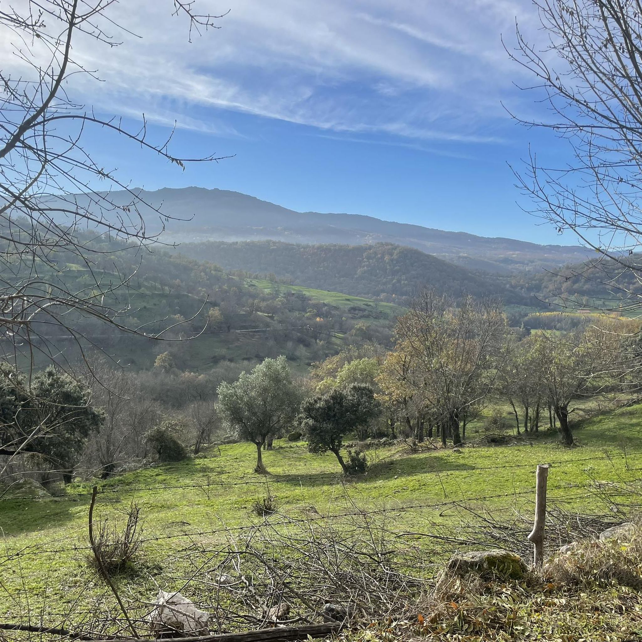
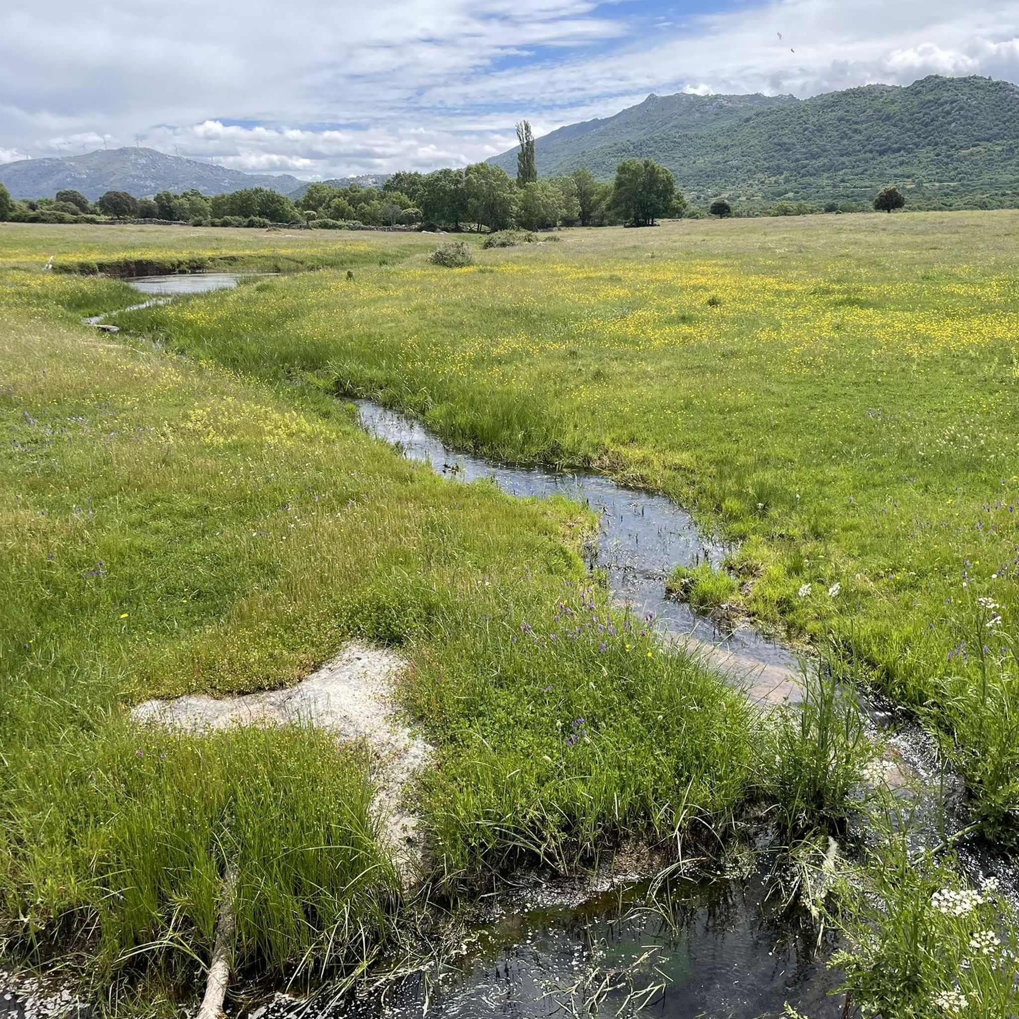
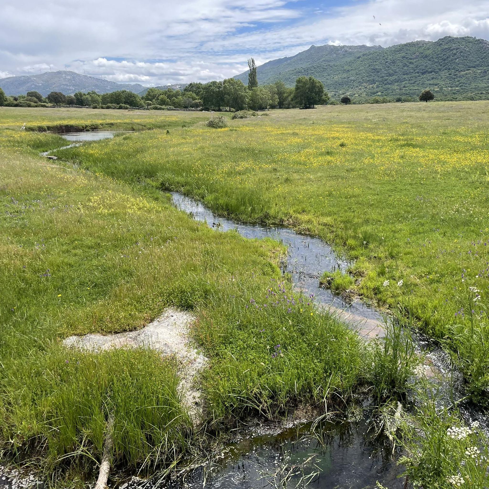
Hiking around Valdefuentes De Sangusín offers routes through a landscape characterized by its elevated position, providing views of the Sierra de Béjar and Sierra de Francia mountain ranges. The region features the Sangusín Valley, numerous natural springs, and diverse flora including holm oaks, oaks, and scrubland. Traditional pathways, including historic transhumance routes, form an extensive network for outdoor activities.
Best hiking trails around Valdefuentes De Sangusín
- The most popular hiking route is Balcon de Pilatos via the Trasiegos Path –…
Last updated: June 28, 2026
2
hikers
9.61km
03:13
210m
210m
Hard hike. Good fitness required. Sure-footedness, sturdy shoes and alpine experience required.
4.21km
01:25
180m
180m
Hard hike. Great for any fitness level. Sure-footedness, sturdy shoes and alpine experience required.

Sign up for free
4.6
(5)
34
hikers
10.7km
03:03
250m
250m
Moderate hike. Good fitness required. Easily-accessible paths. Suitable for all skill levels.
4.2
(6)
31
hikers
19.0km
05:55
710m
710m
Hard hike. Very good fitness required. Mostly accessible paths. Sure-footedness required.
5.0
(9)
39
hikers
Hard hike. Very good fitness required. Easily-accessible paths. Suitable for all skill levels.
Get access to more routes and recommendations from other explorers.
Sign up for free
Already have an account?
Our route recommendations are based on thousands of hikes, rides, and runs completed by other people on komoot.
Start today with a free account
Your next adventure awaits.
Login or Signup
Tips from the Community

On the SA-205 highway, just outside San Esteban de la Sierra heading towards Santibáñez de la Sierra, you'll find the entrance to the Sierra Viewpoints Route, which includes several spectacular panoramic viewpoints. Views: The Alagón River Valley and its meanders. The Sierra de Francia mountain range with the Peña de Francia peak in the background. The Sierra de Béjar mountain range and the Las Quilamas Natural Area. This viewpoint is a magnificent natural balcony, perfect for photography and birdwatching (vultures, eagles, black storks).
2
0

The Peña de la Cruz shelter has 20 beds and offers traditional cuisine for both guests and passers-by. According to its own promotion, it is an ideal place to go and see the stars with friends.
1
0

The bullring of the city of Béjar, in the province of Salamanca (Spain), better known as La Ancianita, is the oldest bullring preserved in Spain, inaugurated in 1711.2 Located on the Castañar mountain next to the Sanctuary of the Virgen del Castañar, two kilometers from Béjar.3
0
0


From this place you can see San Esteban de la Sierra and the landscapes of the Quilamas Natural Area around it. The road in perfect condition.
2
1

Located on the outskirts of Béjar in the middle of the Sierra de Candelario forest, this magnificent Sanctuary was built after the apparition of the Virgin in 1496. It is a very picturesque building and it is also worth visiting inside.
1
1
A very popular place in the area and with good reason it is. Next to the cross is the viewpoint that offers beautiful panoramic views of the entire Sierra de Béjar valley and the town below. A few meters away is the refuge and an area with tables to take a break and enjoy this wonderful place.
1
1
Peña Negra is one of those challenging but highly rewarding peaks. The views from its top at 1634 meters above sea level are truly amazing and you will have 360 degree panoramic views of the entire Sierra de Candelario Natural Area, including the Navamuño Reservoir.
1
1
Frequently Asked Questions
How many hiking trails are available around Valdefuentes de Sangusín?
There are over 50 hiking routes in the Valdefuentes de Sangusín area, catering to various skill levels. This includes 13 easy, 30 moderate, and 15 difficult trails, ensuring options for nearly every hiker.
What kind of landscapes can I expect to see while hiking in Valdefuentes de Sangusín?
The region offers diverse landscapes, from the elevated position of Valdefuentes de Sangusín providing splendid views of the Sierra de Béjar and Sierra de Francia mountain ranges, to the verdant Sangusín Valley. Trails often pass through natural environments featuring holm oaks, oaks, and low scrubland, with numerous natural springs like Fuentebuena.
Are there any circular hiking routes in Valdefuentes de Sangusín?
Yes, Valdefuentes de Sangusín offers several circular routes. For example, the Fuente de la Hoja – Ermita del Humilladero loop from Béjar is a moderate 15.7 km trail that takes you through varied landscapes. Many routes incorporate parts of historic pathways like the Vía de la Plata or the Cañada Real Soriana.
What are some interesting points of interest or landmarks to see along the trails?
Hikers can discover a rich blend of natural and historical attractions. Notable sites include the 16th-century Ermita de Nuestra Señora del Carrascal, which offers magnificent views, and an old quarry transformed into an artistic space with monumental granite sculptures, sometimes referred to as a 'Salamancan Stonehenge'. You can also explore highlights like the Granite Theme Park or the Peña Negra Summit.
Are there any challenging hikes for experienced trekkers?
Absolutely. For those seeking a challenge, Valdefuentes de Sangusín has 15 difficult routes. One such option is the Balcon de Pilatos via the Trasiegos Path – Quilamas Natural Space, a 9.6 km trail with varied terrain, typically taking over 3 hours to complete. Another is the Crossroads and beautiful views – Views on the embalse de Navamuño loop from Béjar, which is nearly 19 km long.
What do other hikers say about the trails in Valdefuentes de Sangusín?
The trails in Valdefuentes de Sangusín are highly regarded by the komoot community, with an average rating of 4.6 stars from nearly 100 reviews. Over 500 hikers have used komoot to explore the area, often praising the varied terrain and the stunning views of the surrounding mountain ranges.
Is Valdefuentes de Sangusín suitable for family-friendly walks?
Yes, the area offers 13 easy routes that are generally suitable for families. These trails provide a great way to enjoy the natural beauty without overly strenuous climbs, allowing for a pleasant outdoor experience for all ages.
What is the best time of year to go hiking in Valdefuentes de Sangusín?
Given its elevated position and diverse flora, spring and autumn are generally ideal for hiking in Valdefuentes de Sangusín. These seasons offer pleasant temperatures and vibrant natural scenery, with holm oaks and oaks providing varied colors. Summer can also be enjoyable, especially in the mornings or late afternoons, to avoid the midday heat.
Are there any routes that offer particularly good viewpoints?
Many routes in Valdefuentes de Sangusín are known for their panoramic vistas. The town itself is perched over 800 meters high, offering views of the Sierra de Béjar and Sierra de Francia. The Ermita del Carrascal, located about 2 km from the town center, is specifically noted for its magnificent views. The Viewpoint – Cedro de la Francesa loop from Béjar is another excellent option for scenic overlooks.
Are there any historical routes or pathways in the area?
Valdefuentes de Sangusín is rich in historical pathways. The municipality is notably crossed by ancient transhumance routes, including the Cañada Real Romana and the Ruta de la Plata (Silver Route), which are now popular trails for hikers. These routes offer a unique blend of natural beauty and historical significance.
What kind of natural features can I find along the trails?
Beyond the panoramic mountain views, you'll encounter the Sangusín river valley, which gives the town its name, and numerous natural springs, reflecting 'Valdefuentes' meaning 'Valley of Fountains'. The diverse flora includes encinas (holm oaks), robles (oaks), and low scrubland, creating varied and interesting natural environments throughout your hike.
Most popular routes around Valdefuentes De Sangusín
Most popular attractions around Valdefuentes De Sangusín

Get inspired with the komoot mobile app


Explore more
Browse the best Hikes in other regions.
