The best walks and hikes around Herguijuela Del Campo
4.6
(15)
132
hikers
15
hikes
Hiking around Herguijuela Del Campo offers varied landscapes, characterized by traditional dehesas, mountains, and agricultural lands. The region features extensive Quercus dehesas, providing shaded paths among ancient oak trees. The terrain transitions from open pastures to more elevated and rugged paths, offering diverse environments for hikers. This natural diversity creates engaging routes through different ecological zones.
Best hiking trails around Herguijuela Del Campo
- The most popular hiking route is Sendero de las Honfrías - circular from Linares de Riofrío -…
Last updated: June 28, 2026
25
hikers
Moderate hike. Good fitness required. Easily-accessible paths. Suitable for all skill levels.
4.6
(5)
9
hikers
Moderate hike. Good fitness required. Easily-accessible paths. Suitable for all skill levels.

Sign up for free
25
hikers
7.59km
02:11
190m
190m
Moderate hike. Good fitness required. Easily-accessible paths. Suitable for all skill levels.
4.5
(6)
30
hikers
18.9km
05:28
500m
500m
Hard hike. Very good fitness required. Easily-accessible paths. Suitable for all skill levels.
4.0
(2)
8
hikers
13.0km
03:36
240m
240m
Moderate hike. Good fitness required. Easily-accessible paths. Suitable for all skill levels.
Get access to more routes and recommendations from other explorers.
Sign up for free
Already have an account?
Our route recommendations are based on thousands of hikes, rides, and runs completed by other people on komoot.
Start today with a free account
Your next adventure awaits.
Login or Signup
Popular around Herguijuela Del Campo
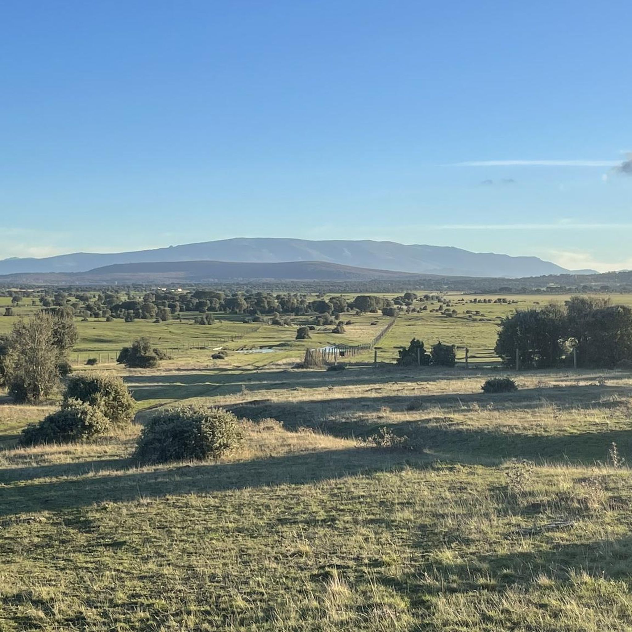

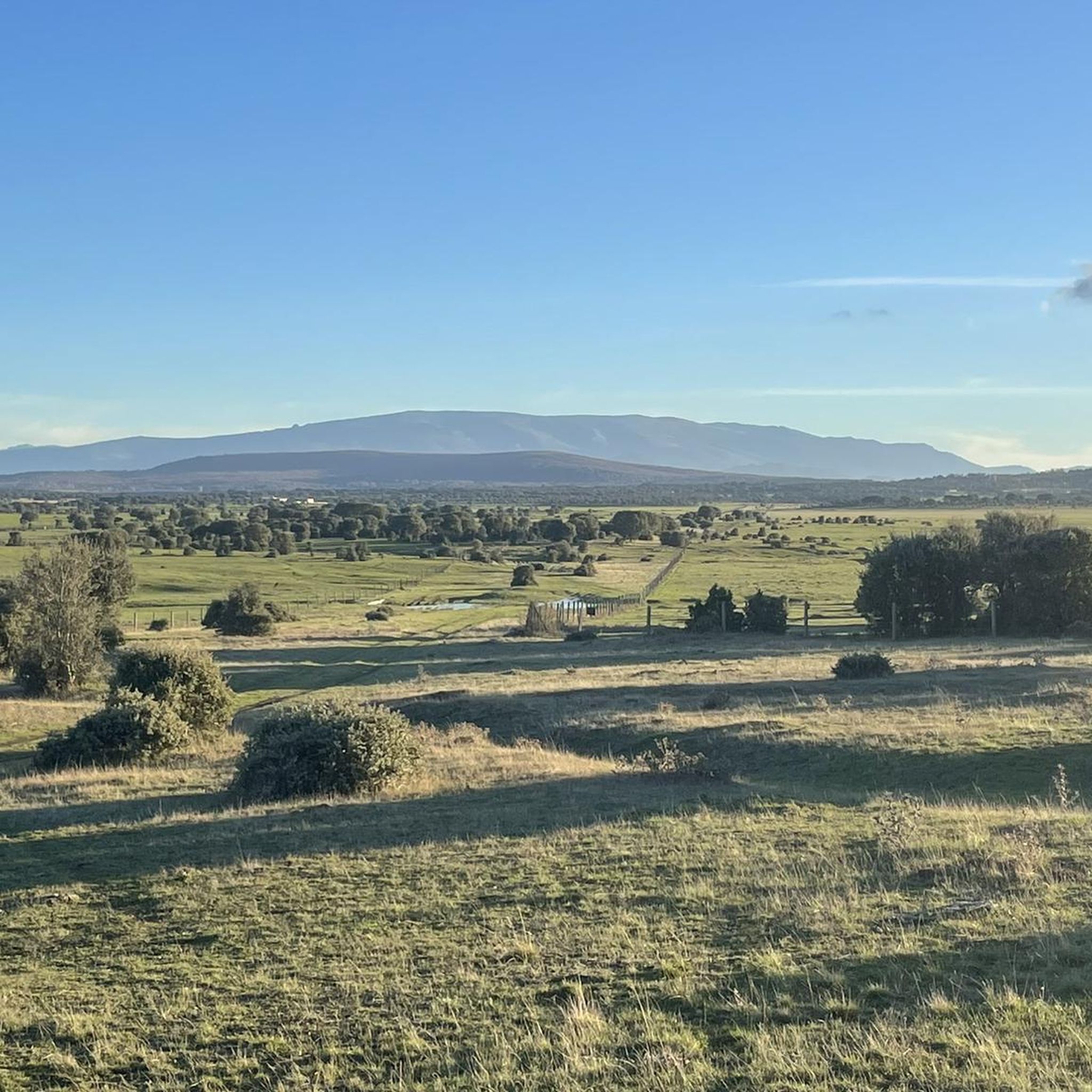
Tips from the Community

Located between the municipalities of Navarredonda de la Rinconada and Escurial de la Sierra, in the Sierra de Francia-Quilamas region. A protected natural area within the Natura 2000 network, with oak and chestnut forests and wildlife such as the golden eagle and griffon vulture.
5
0

The top of Pico Cervero is located at 1,522 meters above sea level within the wonderful Natural Space of Las Quilamas. The ascent is demanding and depending on where you climb it from, it may have some technical sectors. From Linares de Riofrío you can follow the path through the Honfrías forest, a wonderful and picturesque place.
1
1

La Morana or Quintos fountain, belonging to the La Honfría forest. According to posters in the area up to this source "the Fifth of the town went up to wash at the beginning of December".
1
0
The most recommended times for this route are May, well into spring and autumn. The landscapes of the area with the trees covered with leaves are highly recommended, especially the forest of La Honfría.
1
0

Magical place, excellent 360º views (if it is not cloudy). It is worth the ascent both by mountain bike, gravel or walking.
1
0

El Cervero is the highest peak in the Sierra de las Quilamas, with an altitude of 1465 meters
1
0
Pico Cervero. Spectacular views of the entire Sierra de Francia
1
0
Frequently Asked Questions
How many hiking trails are available in Herguijuela Del Campo?
There are 13 hiking trails in and around Herguijuela Del Campo, offering a variety of experiences. These include 3 easy routes, 9 moderate routes, and 1 difficult trail, catering to different fitness levels.
What kind of landscapes can I expect to see while hiking in Herguijuela Del Campo?
Herguijuela Del Campo is characterized by diverse landscapes, including traditional dehesas (oak meadows), mountains, and agricultural lands. You'll find extensive Quercus dehesas with ancient oak trees, offering shaded paths, alongside more elevated and rugged mountainous terrain. The scenery often transitions from open pastures to wilder, forested areas.
Are there any circular hiking routes in Herguijuela Del Campo?
Yes, there are several circular routes available. For example, the moderate Sendero de las Honfrías - circular from Linares de Riofrío is a popular choice, taking about 2 hours to complete. Another option is the Pico Cervero – circular from Navarredonda de la Rinconada, a longer moderate route offering views of the mountainous terrain.
What are some of the natural features or landmarks I can explore on a hike?
Hikers can discover various points of interest. You might encounter natural springs like the Spring on the Camino Mulero to Valero or the Fuente de la Mora. For those seeking elevated views, Cervero Peak is a notable summit in the area.
Are there any easy hiking trails suitable for beginners or families?
Yes, Herguijuela Del Campo offers 3 easy hiking routes. While specific family-friendly routes are not detailed, the presence of easy trails suggests options for those looking for less strenuous walks. The region's dehesas provide gentle terrain and shade, which can be pleasant for a leisurely stroll.
What is the best time of year to go hiking in Herguijuela Del Campo?
The region's varied landscapes, including dehesas and mountainous areas, make it suitable for hiking across different seasons. Spring and autumn generally offer pleasant temperatures and vibrant scenery. The ancient oak trees in the dehesas can provide welcome shade during warmer months.
What do other hikers say about the trails in Herguijuela Del Campo?
The hiking routes in Herguijuela Del Campo are highly regarded by the komoot community, with an average rating of 4.5 stars from 13 reviews. Hikers often praise the diverse terrain, from open pastures to more rugged paths, and the unique ecological experience of walking among ancient oak trees.
Are there any challenging hikes for experienced trekkers?
Yes, for experienced trekkers, there is one difficult route available. The Cervero Peak – Pico Cervero (1465 m) loop from Linares de Riofrío is a challenging 18.9 km trail with significant elevation gain, offering a more demanding adventure.
Can I find long-distance routes or multi-day hiking options?
While most listed routes are day hikes, the broader Salamanca province, where Herguijuela Del Campo is located, is known for diverse hiking options, including marked routes and trails. The EuroVelo 1 from Los Santos to Endrinal, though a cycleway, indicates connections that might inspire longer walking tours in the wider area.
What kind of terrain will I encounter on the trails?
The terrain varies significantly. You will find a mix of paved paths, established trails, and tracks. Routes often traverse open dehesas with oak trees, agricultural lands, and can include more elevated and rugged sections as you move into mountainous areas.
Are there any specific viewpoints or scenic spots recommended for hikers?
While specific viewpoints are not detailed for every route, the region's blend of dehesas and mountains suggests many scenic spots. The PR-CC 229 "Mirador de la Serrezuela" (mentioned in regional research) is known for offering scenic views. Additionally, routes like the Pico Cervero – circular from Navarredonda de la Rinconada provide views of the surrounding mountainous terrain.
Most popular attractions around Herguijuela Del Campo

Get inspired with the komoot mobile app


Explore more
Browse the best Hikes in other regions.
