The best road cycling routes around Valdemorillo
4.4
(122)
10,229
riders
11
rides
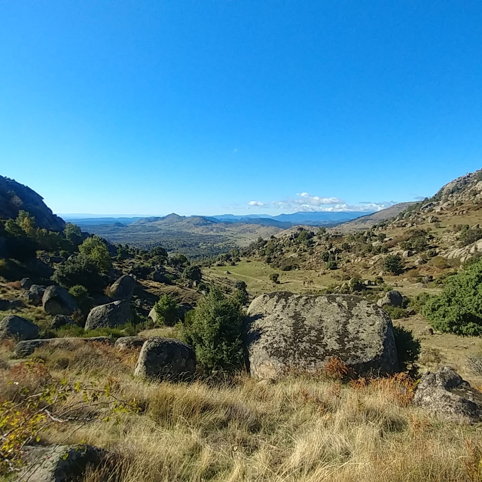
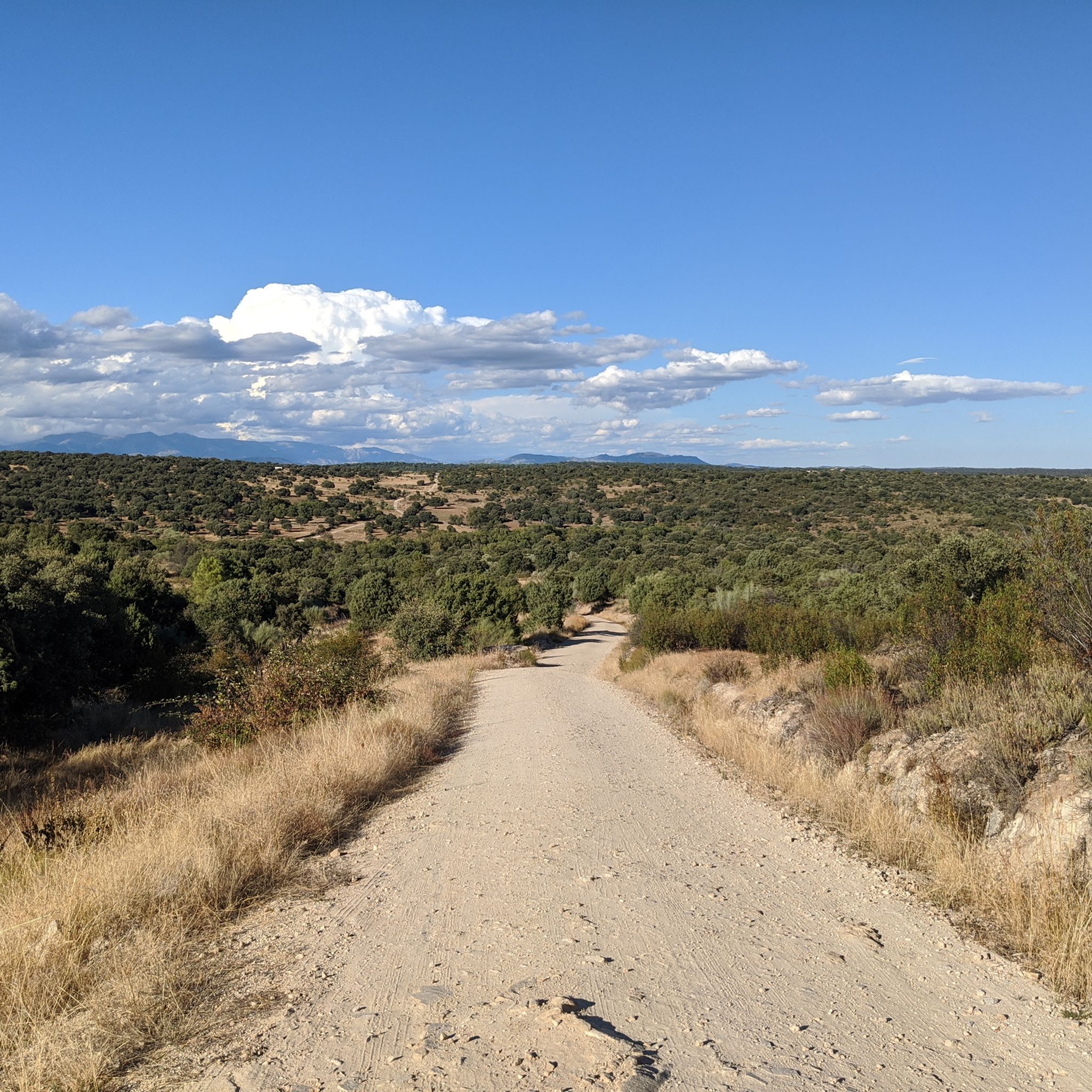
Road cycling around Valdemorillo offers diverse terrain within the Madrid community, featuring a rich natural environment. The region is characterized by wooded landscapes, ash and holm oak trees, and expansive green meadows, situated within the Sierra de Guadarrama National Park. Elevations range from 977 meters to 1,753 meters, including granite formations in Monte de Cuelgamuros. This varied landscape provides numerous road cycling routes, from challenging mountain passes to demanding loops.
Best road cycling routes around Valdemorillo
- The most popular road…
Last updated: October 1, 2026
5.0
(1)
292
riders
76.3km
03:30
740m
740m
Moderate road ride. Good fitness required. Mostly well-paved surfaces and easy to ride.
3.0
(1)
28
riders
30.1km
01:33
520m
520m
Moderate road ride. Good fitness required. Mostly well-paved surfaces and easy to ride.

49
riders
60.8km
03:17
1,190m
1,190m
Hard road ride. Very good fitness required. Mostly well-paved surfaces and easy to ride.
19
riders
Moderate road ride. Good fitness required. Mostly well-paved surfaces and easy to ride.
14
riders
104km
05:30
1,690m
1,690m
Hard road ride. Very good fitness required. Some segments of this route may be unpaved and difficult to ride.
Get access to more routes and recommendations from other explorers.
Already have an account?
Our route recommendations are based on thousands of hikes, rides, and runs completed by other people on komoot.
Start today with a free account
Your next adventure awaits.

Tips from the Community

After the rather steep climb from Apeadero de Zarzalejo, before reaching the town, we have the tranquility of the rest area where we can stop to catch our breath a little before tackling the Cruz Verde pass from this side, which is very gentle but it's there. Totally recommendable
0
0

Navalagamella is known for its hiking trails and natural surroundings, perfect for outdoor activities. In addition, its historical and cultural heritage offers an enriching experience for visitors.
6
0

Beautiful village with an enviable environment
0
1
Quiet village with a fountain, all of these routes are highly recommended.
0
0

The honey from this town is a product of considerable quality. You may also be interested in seeing the church of Santiago Ápostol, the Navazo fountain and batteries and the Pozuelo fountain, the hermitage of the Virgen de la Soledad, the traditional houses of the Santiago neighborhood and the old copper and malachite mines.
1
0

This church began to be built in the year of the discovery of America, in 1492, and was officially completed in 1619, although it was restored in the following centuries.
0
0

The bramble, the granite, the Segovia Aqueduct and the peaks of Las Machotas are the symbols of the shield of Zarzalejo, a beautiful mountain town in the Sierra Oeste of Madrid in a strategic passage of ancient Roman roads, mesteña ravines and mountain passes. In the streets of the town there is an abundance of berroqueña stone, pure and hard granite, extracted in the local quarries that supplied Philip II's workers with the construction material for the Monastery of San Lorenzo de El Escorial, considered one of the architectural wonders. from the modern era, and also to many other monuments and buildings in the municipalities of the Sierra de Guadarrama and the province of Madrid. At the Fuente del Caño Viejo there is a monument dedicated to the local stonemasons. The picturesque hamlet of Zarzalejo is on the slopes of Las Machotas, two twin peaks of large blocks of granite piled up that have created curious shapes of knightly rocks and monoliths sculpted by the weather of the mountains. The mountainous nature of the excursion is evident, most of the itinerary can be considered mountainous. The route begins in the square and continues to the back of the church, where there is a stone milestone in a corner with the inscription k 0 of Fuente del Rey street. And precisely you have to follow Fuente del Rey street to the outskirts of Zarzalejo and continue the pastoral alley that goes up through the oak and chestnut forest. The path is part of the Ruta de la Silla de Felipe II and has markings from a variant of the GR-10 long-distance trail.
0
0

Town located at the foot of Las Machotas and the Cruz Verde port, in the vicinity of San Lorenzo de El Escorial. From the quarry located there, the granite used to build the monastery of the town located on the other side of Pico del Fraile was extracted.
0
0
Frequently Asked Questions
How many road cycling routes are available around Valdemorillo?
Valdemorillo offers a selection of over a dozen road cycling routes, catering to various skill levels. You'll find everything from moderate loops to challenging ascents through the region's diverse terrain.
What kind of terrain can I expect on road cycling routes in Valdemorillo?
The terrain around Valdemorillo is quite varied, characterized by wooded landscapes, ash and holm oak trees, and expansive green meadows. Many routes are nestled within the Sierra de Guadarrama National Park, featuring significant elevation changes, granite formations, and mountain passes like Cruz Verde, Canencia, and Morcuera.
Are there road cycling routes suitable for beginners in Valdemorillo?
While Valdemorillo is known for its challenging routes, there are a couple of easier options available. These routes typically feature less demanding climbs and offer a gentler introduction to road cycling in the area.
What are some challenging road cycling routes for experienced riders?
Experienced riders will find plenty of challenges. Routes like the Views of Valmayor Reservoir – Cruz Verde Pass loop from Puerto Tornavacas - Av. Madrid, which includes significant elevation gain, or the extensive La Escondida – Cruz Verde Pass loop from Valdemorillo, are popular for their demanding ascents and long distances. The region is also a starting point for ascents to the Canencia and Morcuera mountain passes.
What natural features or viewpoints can I see along the road cycling routes?
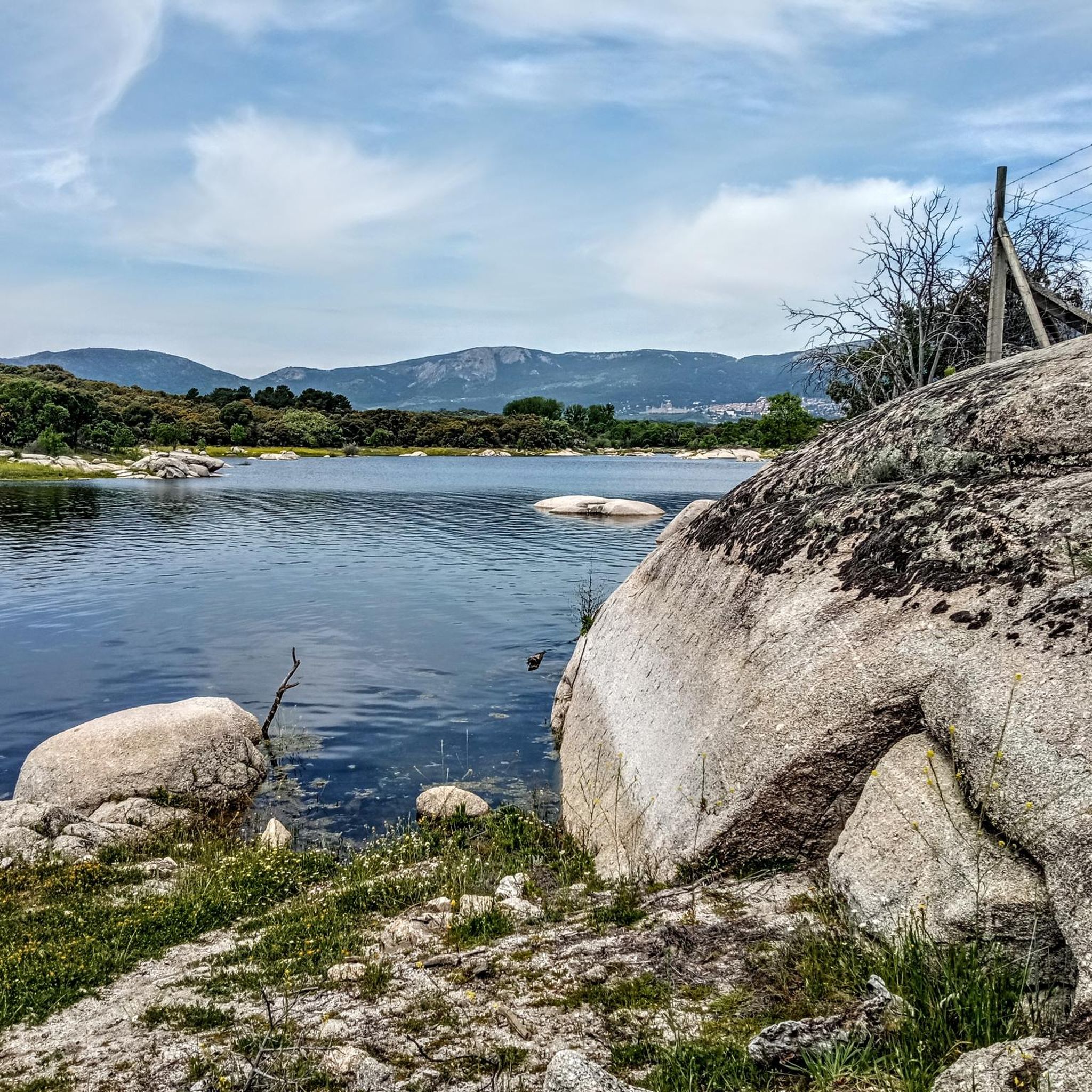
Many routes offer stunning natural scenery. You can enjoy views of the Valmayor Reservoir, explore the wooded landscapes of the Sierra de Guadarrama National Park, and encounter impressive granite formations in areas like Monte de Cuelgamuros. Passes such as Cruz Verde also provide panoramic vistas.
Are there any historical sites or landmarks near the road cycling routes?
Yes, the region boasts several interesting historical sites. The renowned Royal Monastery of San Lorenzo de El Escorial is a significant attraction in the vicinity. You might also encounter historical structures like Aulencia Castle or the Tower of the Lodones.
What do other road cyclists enjoy most about cycling in Valdemorillo?
The road cycling routes in Valdemorillo are highly rated by the komoot community, with an average score of 4.4 stars from over 70 reviews. Cyclists often praise the diverse terrain, the challenging mountain passes, and the beautiful natural environment within the Sierra de Guadarrama.
Are there any family-friendly road cycling options in Valdemorillo?
While many routes in Valdemorillo are quite demanding, some of the easier or moderate loops might be suitable for families with older children who are comfortable with road cycling. Always check the route's difficulty and elevation profile before setting out.
What is the best time of year for road cycling in Valdemorillo?
The spring and autumn months generally offer the most pleasant conditions for road cycling in Valdemorillo, with milder temperatures. Summers can be hot, especially in the middle of the day, while winters can bring colder temperatures and occasional snow at higher elevations, particularly on mountain passes.
Can I find circular road cycling routes in Valdemorillo?
Yes, many of the road cycling routes around Valdemorillo are designed as loops, allowing you to start and finish at the same point. Examples include the Colmenarejo Slides – Views of Valmayor Reservoir loop from Cerro Alarcón and the Peralejo Church – Cruz Verde Pass loop from Cerro Alarcón.
Are there any routes that feature mountain passes?
Absolutely. Valdemorillo is an excellent base for tackling mountain passes. Routes like the Cotos Pass – Navacerrada Pass loop from Cerro Alarcón will take you over significant climbs, and the region is known for ascents to the Cruz Verde, Canencia, and Morcuera passes.
Most popular routes around Valdemorillo
Most popular attractions around Valdemorillo

Get inspired with the komoot mobile app


Explore more
Browse the best Road cycling routes in other regions.
