The best walks and hikes around Mata De Cuéllar
5.0
(2)
20
hikers
4
hikes
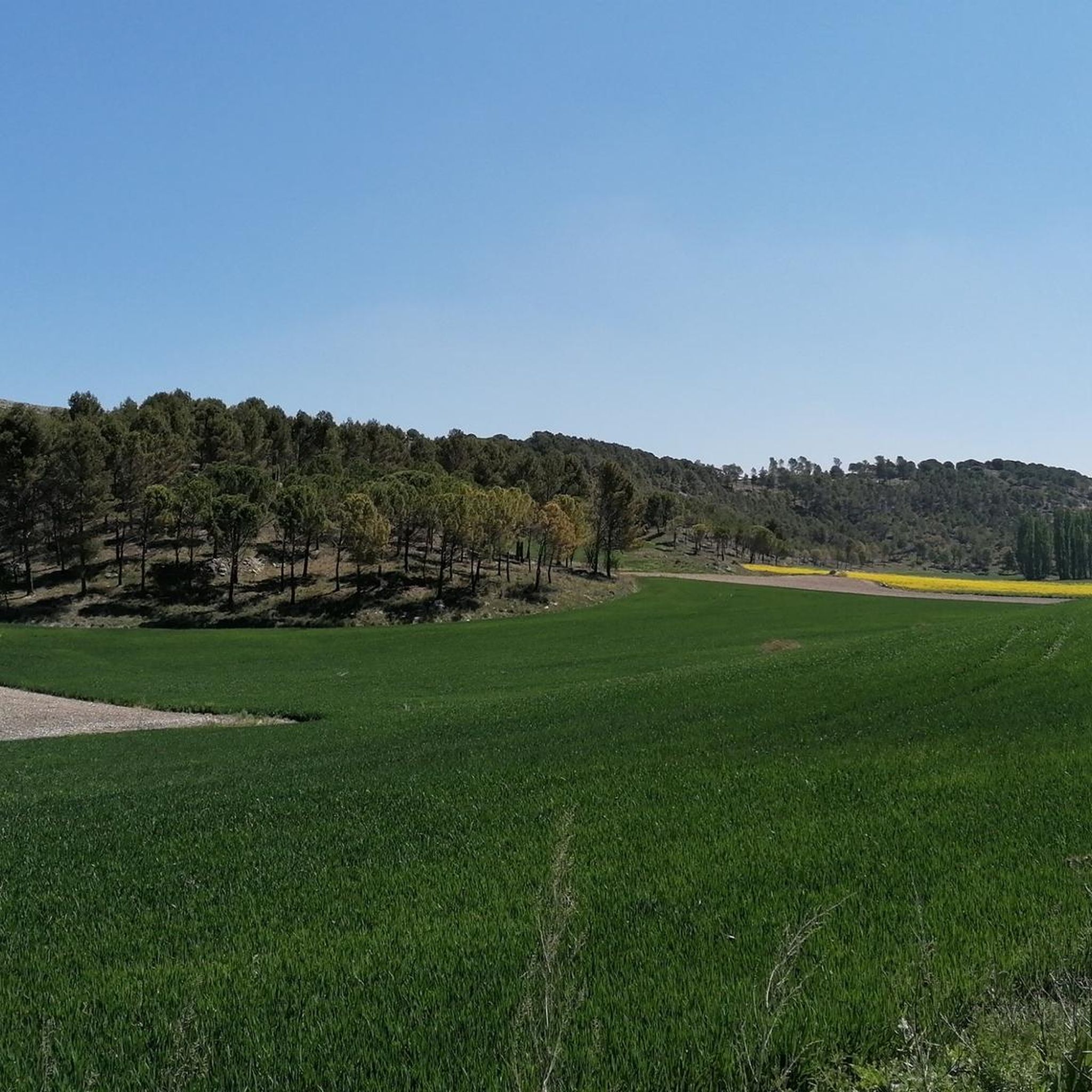
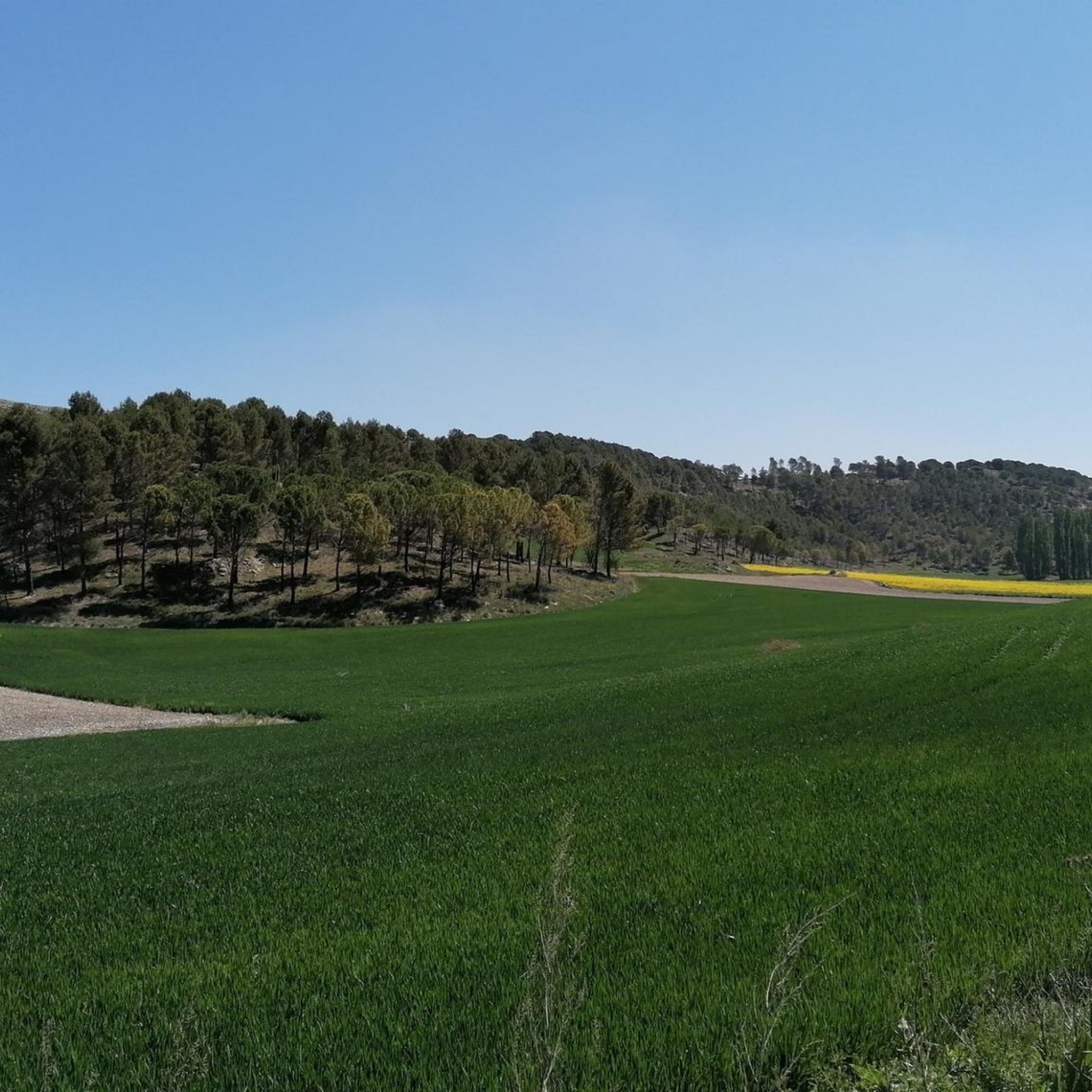
Hiking trails around Mata De Cuéllar traverse a landscape defined by extensive pine forests, part of the larger 'Mar de Pinares' region in Segovia. The Cega River flows through the municipality, carving ravines and creating rich riparian environments that contrast with the drier forest. The area also features limestone moors and hills, offering varied inclines and geological interest, including fossil-rich sections.
Best hiking trails around Mata De Cuéllar
- The most popular hiking route is Senda de la Resina (PRC-VA 38)…
Last updated: June 28, 2026
5
hikers
7.95km
02:02
30m
30m
Moderate hike. Good fitness required. Easily-accessible paths. Suitable for all skill levels.
5.0
(1)
1
hikers
17.1km
04:24
90m
90m
Hike the Senda del Ermitaño and Presa de Alcazarén Loop, a moderate 10.6-mile route through pine forests and along the Eresma River.

Sign up for free
17.4km
04:39
180m
180m
Moderate hike. Good fitness required. Easily-accessible paths. Suitable for all skill levels.
5.0
(1)
10
hikers
13.5km
03:31
90m
80m
Moderate hike. Good fitness required. Easily-accessible paths. Suitable for all skill levels.
4
hikers
20.6km
05:23
160m
160m
Hard hike. Very good fitness required. Easily-accessible paths. Suitable for all skill levels.
Our route recommendations are based on thousands of hikes, rides, and runs completed by other people on komoot.
Start today with a free account
Your next adventure awaits.
Login or Signup


Tips from the Community

Next to the Sacedón Hermitage, in Pedrajas de San Esteban, near the Eresma River, stands a colossal, centuries-old pine tree on which a life-size human figure has been installed, representing a pine harvester, as a tribute to this profession, so closely linked to the town of Pedrajas, the Piñon region. It's striking to compare the impressive size of the pine tree with the small size of the person.
0
0
A simple shrine dedicated to the Virgin of Sacedón, located in a pleasant spot next to the Eresma River, on the old Royal Road from Madrid to Valladolid, now the Camino de Santiago from Madrid. Pilgrimage on the Monday of the Octave of Easter.
0
0
Beautiful view of the Cea valley, Cogeces de Íscar and Megeces
0
1
From this route there is a beautiful view of the surrounding valleys and hills. In this case, over the hill and valley, a view of Portillo and Arrabal. To the left of the image, the Raso de Portillo, Boecillo and, in the background, the Pisuerga valley, Valladolid and Torozos.
0
0
From the edge of the San Marugán hill there is a beautiful view of the surrounding valleys. In this case, the valley of the Arroyo del Henar and three villages: Santiago del Arroyo, Camporredondo and Montemayor de Pililla.
0
0

Very good singletrack trails in the woods to get to this point.
1
0

Viewpoint to the plain and agricultural fields around Megeces and to the forests of Mount Saint Marugan.
2
0
8 km circular path that begins its route in the Recreational Area of Puente Blanca (Íscar). The path goes along the banks of the River Cega and the River Pirón and crosses stone pine (Pinus pinea) and resin pine (Pinus pinaster) forests with the presence of holm oaks (Quercus ilex).
2
0
Frequently Asked Questions
What kind of natural landscapes can I expect to see while hiking in Mata de Cuéllar?
Mata de Cuéllar is characterized by its extensive pine forests, part of the larger 'Mar de Pinares' region. You'll also find the Cega River carving through the landscape, creating lush riparian environments that contrast with the drier forests. The area features unique geological formations, including limestone moors and hills, with some sections known for their fossil-rich trails.
Are there any trails that highlight the geological features of the region?
Yes, the region is known for its geological interest. The 'Senda al Fondo del Mar' trail, though not explicitly listed in the guide's routes, is a notable local path named for the fossilized organisms found near its viewpoint. It offers strategic observation points and panoramic views, integrating the urban center with the natural surroundings, including the confluence of the Pirón and Cega rivers.
Are there any circular hiking routes available in Mata de Cuéllar?
Yes, several circular routes are available. For instance, the Senda de la Resina (PRC-VA 38) — circular desde Puente Blanca is a moderate 7.9 km loop that immerses you in the characteristic pine forests. Another option is the Return to Monte San Marugan (PRC-VA 61) — circular from Megeces, a longer 17.4 km trail through varied terrain.
Can I find trails along the Cega River?
While specific routes directly along the Cega River within Mata de Cuéllar are not detailed in the guide, the river flows through the municipality, shaping the landscape with its riverbanks and ravines. You can access the Cega River from Mata de Cuéllar and explore similar riverside environments to the well-known 'Senda de los Pescadores' which follows the Cega and is recognized for its extraordinary biodiversity and dense riverside forests.
What are some points of interest or attractions I might encounter near the hiking trails?
While hiking, you might come across several interesting points. The Tierra de Pinares Viewpoint offers expansive vistas of the vast pine forests. Other nearby attractions include the historic Íscar Castle and the Megeces Bridge. For panoramic views, the Pico del Águila Viewpoint is also a notable spot.
Are there any trails that offer views of water features like waterfalls?
The region is home to the Cascadas del Cega (Cega Waterfalls), which are a significant observation point offering clear views of the local topography. While specific komoot routes leading directly to the waterfalls are not listed in this guide, the presence of these waterfalls suggests scenic elements and potential trails in their vicinity, adding a beautiful natural feature to the area's hiking appeal.
What do other hikers enjoy most about hiking in Mata de Cuéllar?
The area is highly rated by the komoot community, with an average score of 5.0 stars from 2 reviews. Hikers often praise the immersion in the region's characteristic pine forests and the varied terrain that combines forest paths with scenic views, such as those found on the Senda del Ermitaño and Presa de Alcazarén Loop.
Are there opportunities for birdwatching while hiking?
Yes, the diverse ecosystems, particularly along the Cega River and within the extensive pine forests, support a variety of bird species. Hiking in Mata de Cuéllar offers excellent opportunities for birdwatching, with species like larks, warblers, and various raptors commonly observed in the area.
What is the typical difficulty level of hikes around Mata de Cuéllar?
The hiking routes featured in this guide around Mata de Cuéllar are generally of moderate difficulty. They offer varied terrain suitable for hikers looking for a good challenge without extreme demands, making them accessible to a wide range of outdoor enthusiasts.
Are there any longer routes for experienced hikers looking for a full day out?
For those seeking a longer adventure, the Senda del Ermitaño and Presa de Alcazarén Loop covers 17.1 km, typically taking around 4 hours 24 minutes. Another substantial option is the Return to Monte San Marugan (PRC-VA 61) — circular from Megeces, which is 17.4 km and usually takes about 4 hours 38 minutes to complete.
What is the best time of year to go hiking in Mata de Cuéllar?
While the guide doesn't specify a 'best' time, the region's extensive pine forests and riverine environments suggest that spring and autumn would offer pleasant temperatures and vibrant natural scenery. Summers can be warm, making early mornings or late afternoons ideal, while winter hiking might offer a different, quieter experience, especially in the sheltered pine forests.
Most popular attractions around Mata De Cuéllar

Get inspired with the komoot mobile app


Explore more
Browse the best Hikes in other regions.
